Redwood Creek Levee to Mussel Point
Redwood National Forest
Click for map.
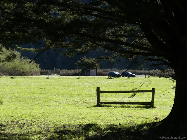
Can you walk the levee through Orick? Generally, yes. The California Coastal Trail going north comes off the beach at Redwood Creek, turning to follow the levee along the south side, then over the bridge and along on the north side until it runs out at the edge of US-101. To start the Orick Horse Trails, one walks the rother bit of south levee. I couldn't find out anything about the last bit of levee that I wanted to hike, so I asked at the Thomas H. Kuchel Visitor Center and was told it's all Redwood National Park. They don't actually claim it on the brochure map, but if it's not theirs, it is Army Corps of Engineers (who built it) or Humboldt County (who maintains it). Also, I could just skip the levee walk and drive out to the beach parking right on the end of it. If that's my pleasure. I decided it wasn't. Parking near the bridge is either city related or at the horse trails. I had read that the parking was "behind the school" where there is a funky little separate lot that does look a little like it could be devoted to the levee. There is a paved trail up to it and everything. I spotted the vault toilet in the distance, but the school is closed for now.
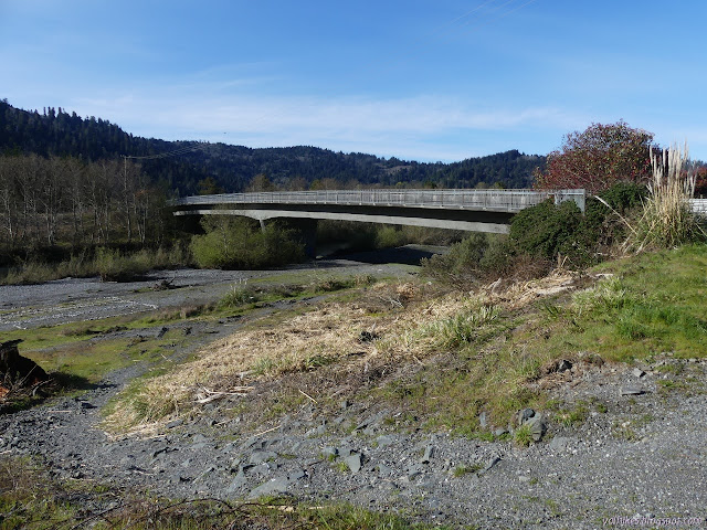
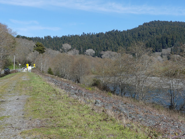
I took that lovely trail up to the bridge, which has a separated walkway as it crosses Redwood Creek, then out onto the levee where a trail breaks off to cross the highway under the bridge. There was a lot of gravel bar with trails along it, so it was tempting to try to walk them instead of going back up to the top of the levee. Those are fishing trails and they only go as far as the gravel bar lasts, then go out to the edge of the water instead of up to the levee. I'm glad I went ahead and went back up although the view of the water was lesser. The sides of the levee are covered in brambles. They had recently been mowed, but could still be a nuisance.

As I searched for information on the levee, I found that it is currently considered a bad thing because it is slowing down the Redwood Creek flow and it silts in too much. I found this to be an interesting claim because usually the complaint about levees is the exact opposite. Channelizing the water makes it speed up and there's no places for the salmon to rest on their way upstream, among other things. Building this levee also included excavating the channel, which has been identified as a severe design flaw along with constricting the estuary area to half its original size. (There are lots of great historic photos of the creek in the report for the plan about how to fix it. Look around page 39 for pre levee ones or around page 80 for post levee ones.)

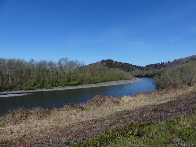

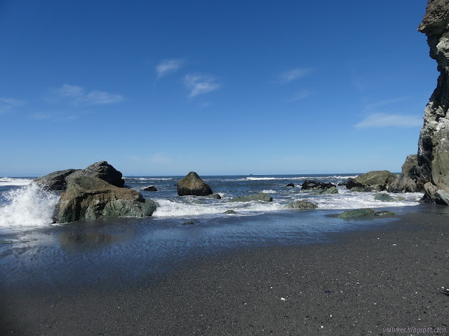
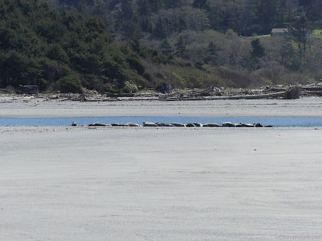
The levee was a very easy walk and even with stopping to chuckle at the two bulls trying to square off across the fence, I quickly came to the end. Had I taken the road, I'd have found the last bit of it to be rough but doable in the car before the large parking area right on the end of the levee. There were a couple cars in it. I was more interested in looking over the mouth of the creek where I quickly spotted some seals hanging out.

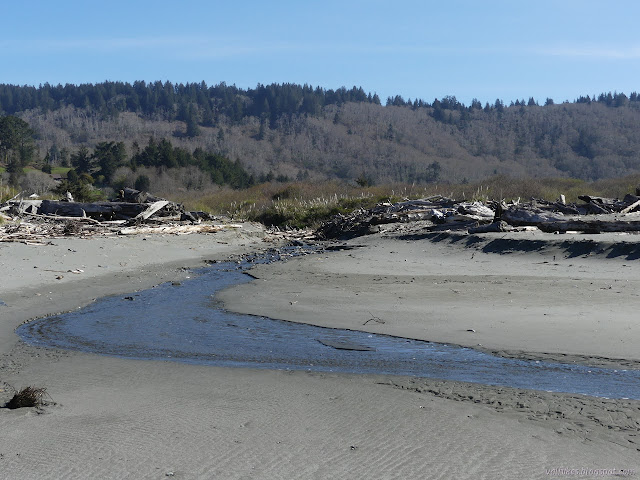
I was a little worried there'd be some sort of water I would have to wade through on my way out to the beach from the end of the levee. That bit of water is the North Slough. It wasn't being much of a slough when I saw it. The water was gradually flowing out a little further before sinking into the sand, but I just walked around it. Then I gave the seals a wide breadth as I started up the beach.
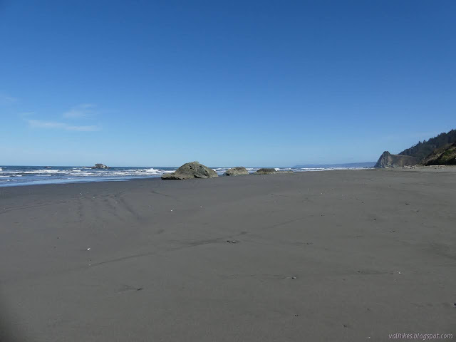
There were already footprints on the sand. I wouldn't have the beach quite to myself. Ah well. I was surprised to be able to see Mussel Point already. It looked very close but is about 1.5 miles along the beach.
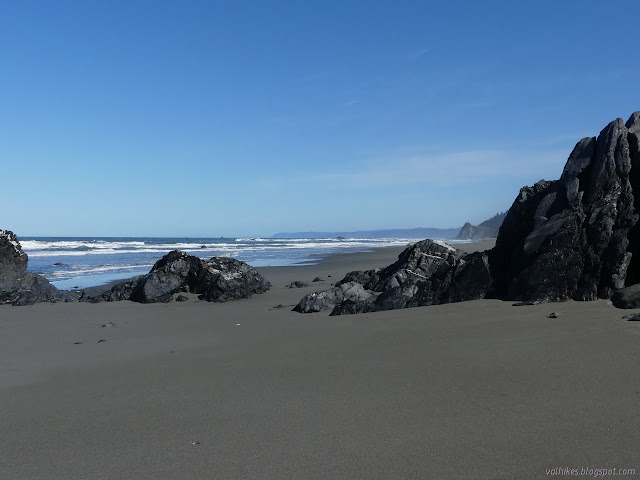
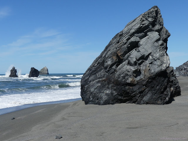
As I got near to Mussel Point, I spotted a figure resting against the bottom of the rocks. We waved and I went to check out the edge of the rocks. It looks a lot more passible from this side than it did from the north side. The tide was about 3.7 feet (and on the way up) instead of 4.7 feet. A lot can happen in 3 feet, maybe it does become passible.
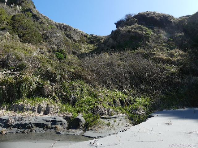
I then wandered over to the slopes and checked out my chances of getting to the top and trying to find the benchmark that's supposed to be at the top of Mussel Point. I don't really expect anything on an ocean bluff or point to still be there 30 or more years later, but even with the tuft of trees up there, it's probably a cool spot to sit. I did find a route I thought could work, but ultimately decided not to test it. I also found a spot still harboring frost from the chilly night. I ate some lunch still pondering, then decided to test if I could beat the tide back instead.


I wasn't in too much of a hurry and when I saw a patch of sand flashing with reflections, I had to go investigate. A great mass of sand crabs were struggling to dig in. I think they were sand crabs. How big do sand crabs get? Some of them were bigger than my big toe. It would have been quite the smorgasbord for a sea gull.
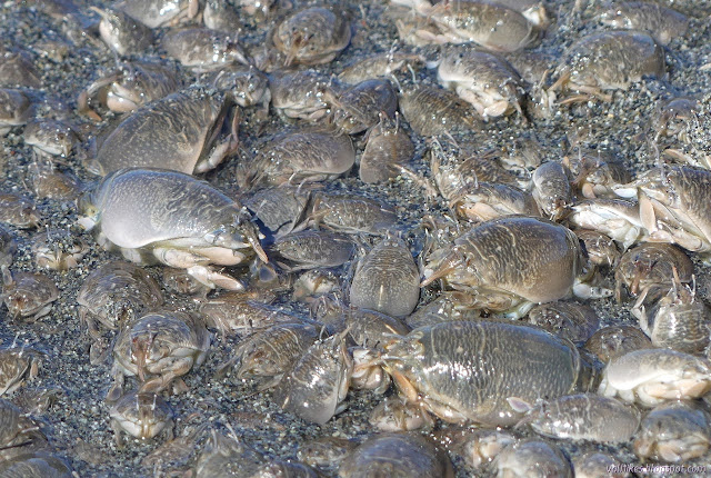
They were probably encountering a rock just below the sand. A wave came and moved most of them up the beach a little and they quickly buried themselves into the new sand. I walked back up the beach to be near the dune areas at the bottom of the bluffs. There were a lot of little streams, each gaining a little more out on the sand before sinking in.


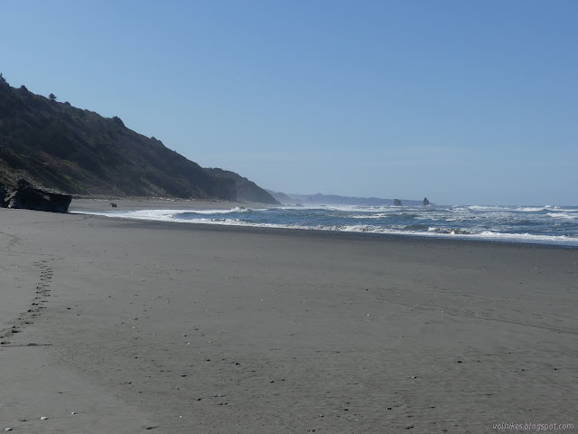
The water was washing the constriction points a little as I passed. The guy I who walked out before me stayed a while longer after I left, but probably didn't have the slightest worry about getting around them when he did get moving.


The group of seals beside Redwood Creek had grown quite a bit. Some of them turned their heads. I was a little surprised to see them still there expecting that someone would have approached them. Besides being illegal, it would be just a little bit foolish. There had definitely been a few more visitors.
I briefly entertained the idea of trying to cross Redwood Creek, which is generally considered too big to cross in this season, to go up the other levee. I decided against with the tide washing into it. However deep it was, it would be deeper with the tide. I returned along the same levee instead.

It was still early, so I kept on going along the bit of north side levee that the California Coastal Trail follows. You get to see a lot of Orick before it dumps onto the narrow side of the highway past the "end 45" sign.

I headed back and then looped around to check out the parking I should have used. I'll know better if I come back to do the "six hour loop" or even backpack the area again, but this time when the creek can't be crossed.

There really is no sign at all for the parking, just the bathroom to indicate it is there. I headed off, but not very far. I still had hours of light and might as well check out more of the route of the California Coastal Trail.
©2021 Valerie Norton
Written 19 Mar 2021
Liked this? Interesting? Click the three bars at the top left for the menu to read more or subscribe!


Comments