Waluplh-Lighthouse Ranch
California Coastal National Monument
Click for map.
After making my tour of the Ocean Ranch Unit of the Eel River Wildlife Area, I went up the road that little bit to visit the old lighthouse, or at least the base of it, and the little bit of California Coastal National Monument that surrounds it. It is certainly one of the easier spaces of that monument to visit. You just park in the dirt area next to the road and walk through the gap in the low fence. A small (~0.5 mile) loop trail passes around the grounds with a small abundance of interpretive signs. They cover the area history and conservation efforts. Besides the nearby national, state, and county wildlife areas, there is also a Marine Protected Area offshore.

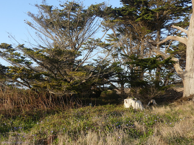
The lighthouse foundation remains, but the lighthouse is on Woodley Island now. The rest of the buildings have left even less impression on the land, but the plants have stayed. I expect that includes the ring of cypress. It certainly includes the palm tree struggling to continue after getting cut down and the numerous flowers waving fiercely in the wind.


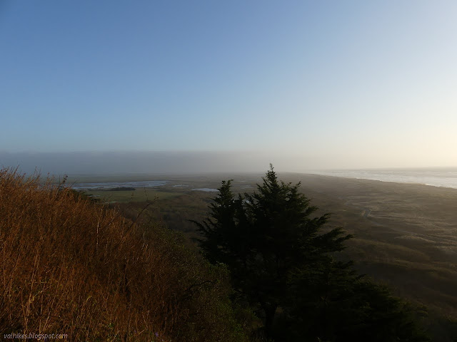
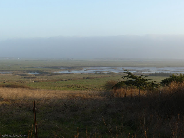
I took an excursion along a well beaten line to the view off the edge by the fence where I could look out over all the watery and drained areas I had just been wandering below.

I paused by the sign showing a map of what was once up on top of the bluff. It says off to the side, a vegetable garden was planted. It's more flowers that don't quite fit with the location now. Bulbs certainly can last.

©2021 Valerie Norton
Written 29 Mar 2021
Liked this? Interesting? Click the three bars at the top left for the menu to read more or subscribe!


Comments