Janes Creek Loop
Arcata Commumity Forest
Click for map.
There is one entry to the community forest that I haven't yet used (besides things at the university) and I headed out to it. Okay, I did get quite close to it once, but there's a sensibility about the entrance with the route from it that I couldn't pass up. The entrance itself it up a neighborhood street, but it does have a large bit of street parking that isn't so much by houses. It even has a dirt turnaround and parking for horse trailers. Horses are allowed and sometimes seen on many of the trails of the community forest.

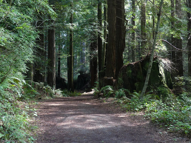
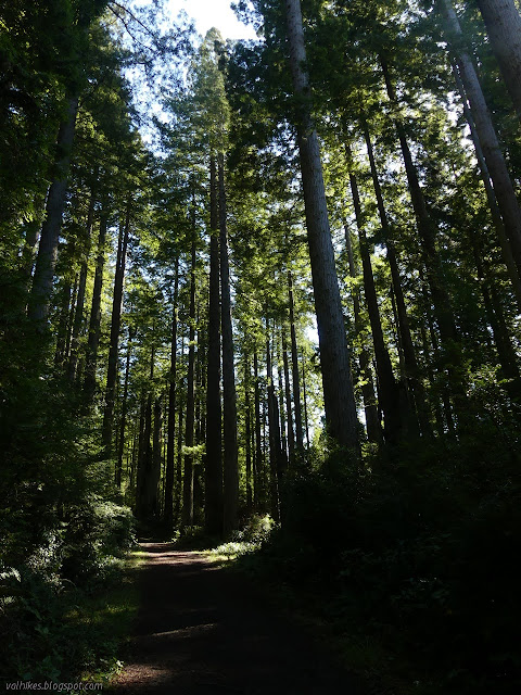
So I plunged into the speckled shade of the second growth forest with its 150 year old stumps and even older natural stumps. Redwood survives, which is part of what makes them so attractive to cut down. The trail from Diamond Drive quickly joins with another trail from California Avenue. There's not quite so much parking on that one. At the first opportunity, I took a left for a big curving connection to the Arcata Ridge Trail, then turned up it.

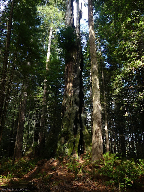
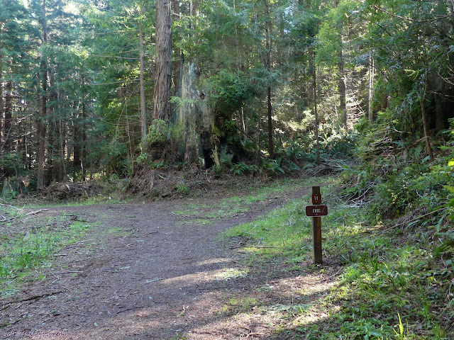
I stopped by what is surely the biggest stump in the whole community forest, except it isn't actually a stump. It's got a little bit of a green tuft about halfway up. Around the other side, it is burn scar for more than one hundred feet. There is a great elaborateness or artistry to all the old, large stumps, much of it hidden if only viewed from one angle. There's even more to the few big, old trees that are hidden away in a few spots. The young trees, not even 200 years yet, can sometimes have a few interesting quirks, but it's not the same.

I left the Arcata Ridge Route at the next junction, following the Janes Creek Road #11 as it rounds the hills eastward. The forest to my left took on a different character, including having a lot more Douglas fir representation. It's private property just below the road. The community forest also gets a different and less pleasant feel where the powerlines cross, which happens along this road too. It's not the most pleasant stretch to hike.

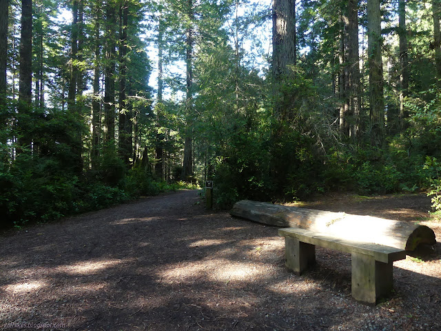
I had been poking around to see what people share on Caltopo and noted one person sharing a very long bike route that started in Arcata and went up into the community forest where it found a way back out to the east. This route took off from the Spruce City #19 trail, which is a little horn of a trail segment that I'd never bothered to walk. I decided today is the day. I did pause on the way where I saw a vanishing stub of road to take some lunch. One of those few horses walked by and paused to look at me sitting on a log among the trees. I gave a wave and the rider finally saw me too. She looked a little worried about what the horse might be noticing that she wasn't until then.
When I got to the east bit of the trail, I found what I expected. First a sign that the trail had come to an end, then signs that the private property owner wasn't too keen on anyone ignoring that sign. There's certainly no bike trail there that someone can follow east to connect with more roads and trails.

So I turned back and took the thin trail portion of 19. It makes big looping turns, the flourishes of a trail for and by mountain bikes. It doesn't get too maddeningly silly. Back at 11, I turned to continue up higher in the forest.

I was staying left and found myself at another trail end sign. That seemed reasonable for the old road vanishing across the property line to the left, but a trail off to the right seemed fine. Besides, there is one geocache called "Top of the Forest" that I had not actually found and signed yet, but had looked from from a lower trail. It isn't a very nice section of forest full of tiny trees growing way too close to each other, but I went for it. I found the geocache easily, but shortly after that the trail crosses the property line too, so I turned back.
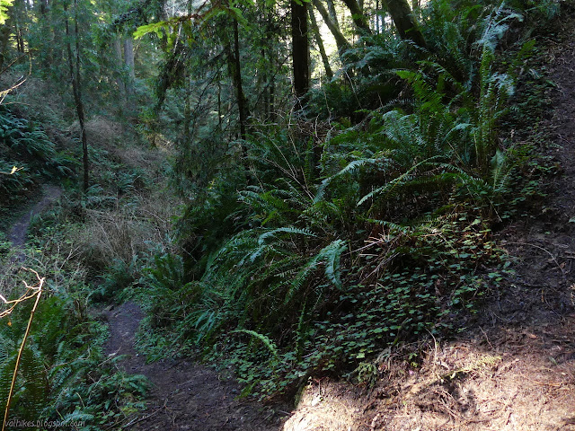
Instead, I turned to follow the Long Loop Trail #17. This one is marked as "involves steep terrain" and is not kidding. It is steep down to Janes Creek and even steeper back up. The steep terrain didn't spare the trees. The loggers had a will and made a way long ago. Some of the new ones are getting pretty medium.

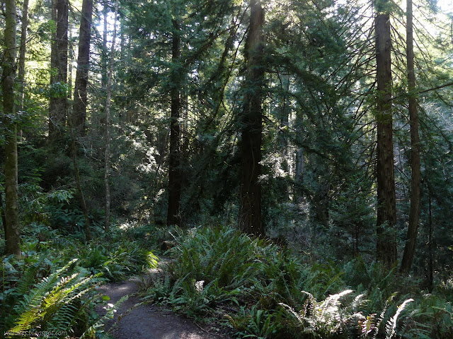
At the top, the trail empties to Ridge Road #12, which does a little loop on the end. Before following it down, I took the long way around the loop, where there's more signs to discourage the general public from leaving the forest for the private property at the far end. Houses are just visible up the hill there. I was surprised to see a few new stumps from the recent timber sale up there. It's a little bit of a mess with trails and the new logging roads, really logging routes, aren't helping at all. When the opportunity presented itself, I turned onto Lower Janes Creek Trail #6, which is a particularly pleasant stretch. It is also marked as "involves steep terrain", but that is the other half.
The trail ends and I followed Community Forest Loop Road #8 and California Trail #5 back to my parking, first crossing that scar where the powerlines pass once more.


©2021 Valerie Norton
Written 18 Mar 2021
Liked this? Interesting? Click the three bars at the top left for the menu to read more or subscribe!


Comments