Agate Beach and around the Rim
Sue-meg State Park
(map link)
I almost got enticed by the siren song of a King Range permit that was sitting spare for Tuesday, which was the start of both good tides and good weather for the Lost Coast Trail. But! I want to do too big a trip to get ready in the half day that I had to sort things out, so I let that treasure go, likely unused by anyone. I decided to get out to Sue-meg for the first time since its older name was applied to the whole state park, not just the ceremonial village within, during some of that perfect weather and tides. There is an $8 fee to drive in, but it is free to walk in or bike in. Trails don't allow bikes or dogs.
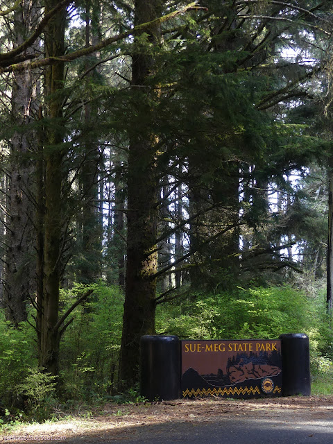
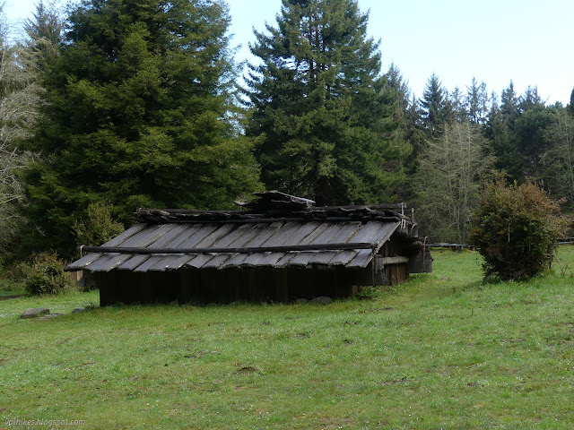
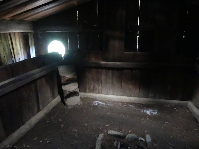
I headed for Sue-meg Village first. It isn't a village in the sense that no one lives there, but it does have purpose beyond showing off the local architecture.
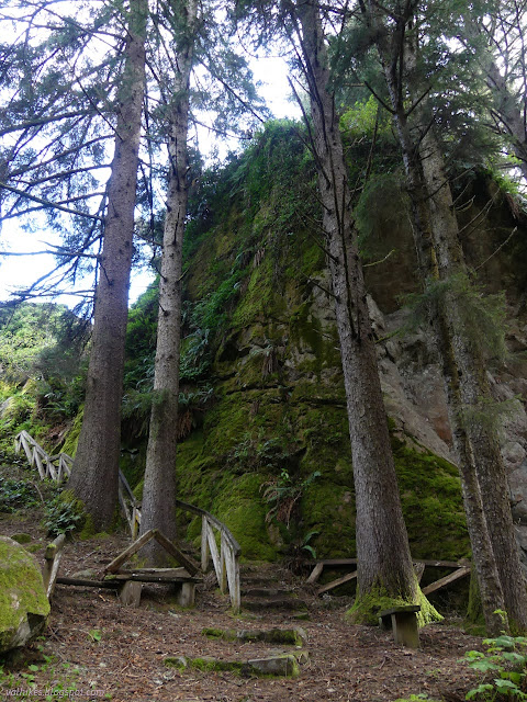
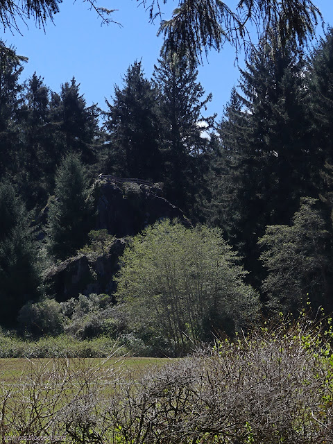
Next, I headed for Ceremonial Rock. I passed a section of trees that had come down in the past storms leaving a small devastated area. It looked like a microburst hit. Then up the steps of the old sea stack now sitting high and dry. Well, moist, really, and covered in green. It is a sudden upward climb among what is very flat all around it.
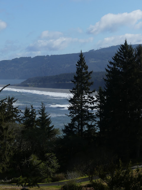
Then a little backtrack and off to Agate Beach for me. There's a break in trail and one must simply walk through a little of the campground to get to the top of the trail down. Water was running down parts of the trail and the stream at the bottom was running well, but easy to cross.
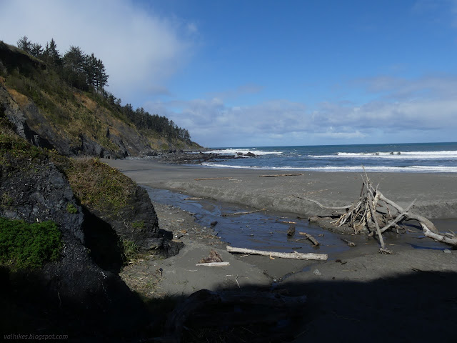
I wandered that flat expanse a while listening to the great rush of waves and picking up pretty stones to look at for nearly a mile. There are agates on the beach. They are generally light colored and they have a few in the visitor center if you want to be sure of what they look like. There's quite a bit fewer than there should be due to illegal collection.
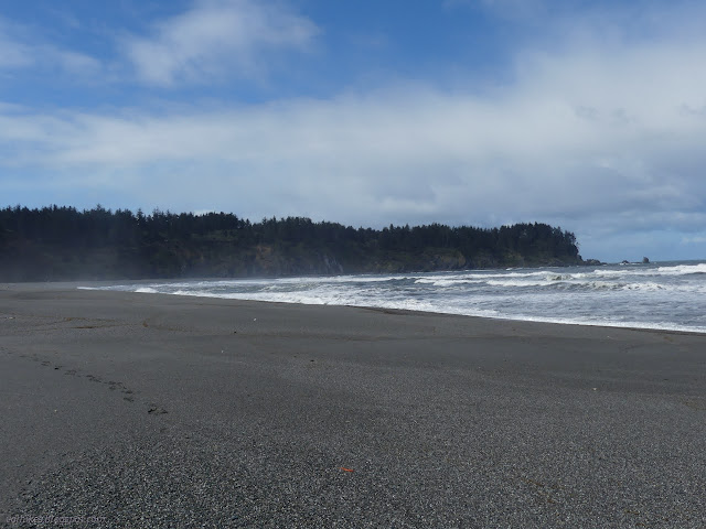
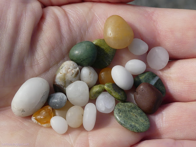
I headed back, bouncing along the cliffs. The agates wash from the cliffs, so they get renewed as the cliffs fall into the ocean. You should be able to see a few in them, too. Mostly, you see that people have scratched their name in the soft substrate. It's still ugly graffiti even if they used a stick they found and it'll only last a year or two at most.
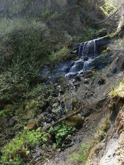
I shared the beach with one other on my way out, but they were certainly coming down (three or four small groups) as I got back and climbed back up.

Back through the campground, I found the unassuming start of the Rim Trail. Stopping by the first lookout point beside a bench, I became suspicious that I should have stayed down on the beach. Like I said, the tides were good for a Lost Coast excursion and were heading out. The ocean leaves pools along this stretch that would be extremely challenging to cross at high tide.


But I continued around on the trail instead of backtracking for the rocky beach.

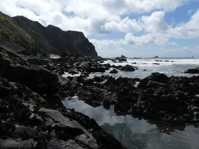
I headed down the spur to Mussel Rocks. This is the first place to come up if one tries to travel along the shore instead of the trails above. It was low tide just below 0.2 feet and turning. I found my way down to the rocks by the water. It isn't easy since the cable and wood steps have been ripped up by past storms.
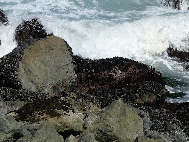
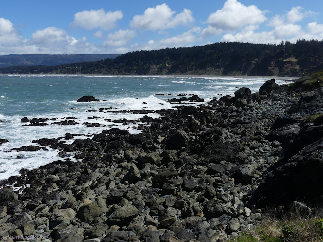
Carefully down and carefully among the rocks, I had a look at what tidepools are available at Mussel Rocks. There are a few. Some are high and could probably be explored at more moderate tides. Some were really still part of the sea. Mostly, there were snails and hermit crabs in the same black turbans as the snails and a little kelp. The barnacles stay low. There was a fish!
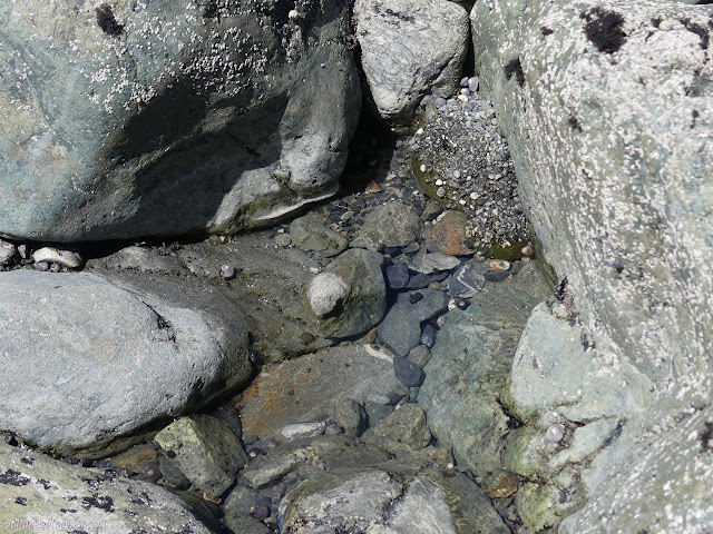


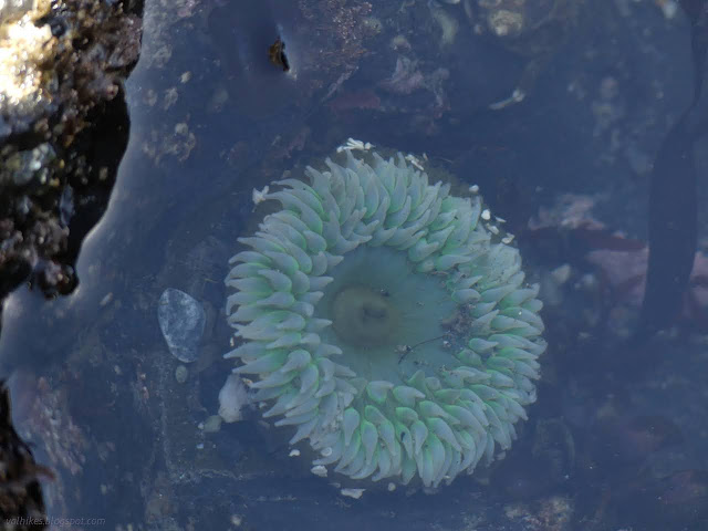
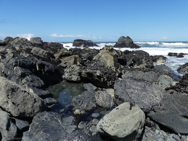
Knowing the tide was already coming in, I didn't spend much time scrambling among the rocks. I climbed and made my way to Wedding Rock, the next spur off the Rim Trail.
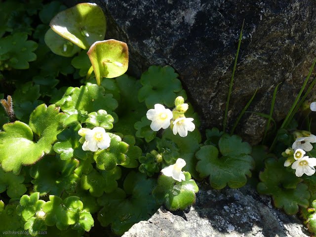

The spur to Wedding Rock has a spur of its own heading north and into ocean washed rocks.

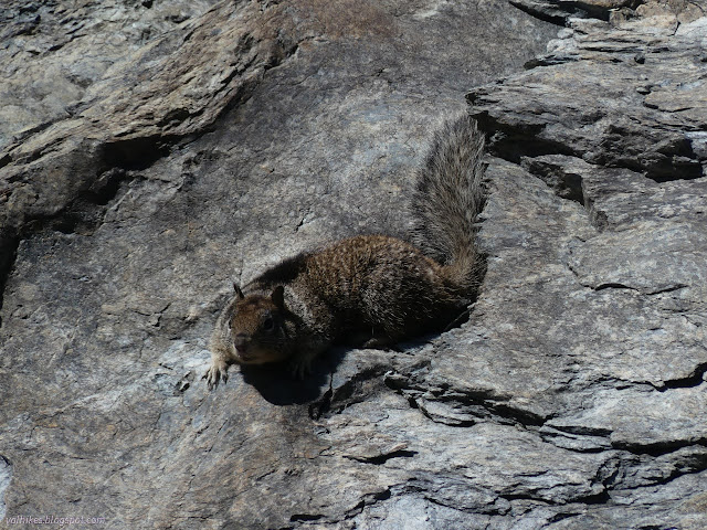
I headed up Wedding Rock to the viewpoint platform, then climbed the final few feet to the top. With snacks and feet hanging over the side, I scanned the wide ocean for migrating whales, but found none. It might be about time to see a few going north. Getting near, anyway.

I continued along, stopping at Patrick's Point very briefly in a stout and cold wind that was developing with the afternoon.
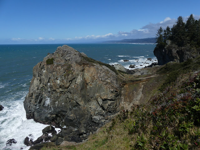
I headed up Lookout Rock even though I know it's not a very good lookout point. It's still a good little hill, being another of these land stranded old sea stacks.

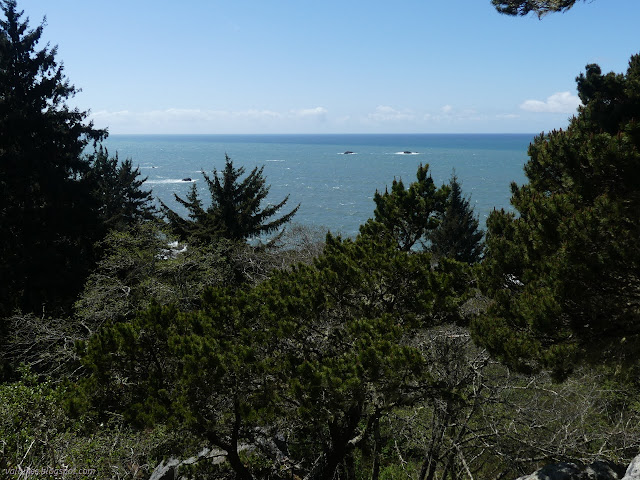
Then off to Rocky Point, which has quite a long spur.

Then the lengthy way to Palmers Point at the far end of the park. Halfway along, I finally read the signs that were on barriers blocking off ways I wasn't trying to use. They said that the southern part of the park was closed. Not the Rim Trail, just the interior parts I was going to walk through to leave again. It just means a little longer walk back.


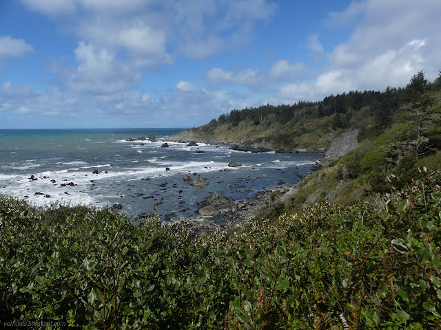
There's even a sign marking Palmers Point as a place for tidepools, but it isn't now. It took far too long from Mussel Rocks for the water to still be particularly low. I have been here tidepooling before anyway. I went down and found a high spot to sit and hope for otters instead.
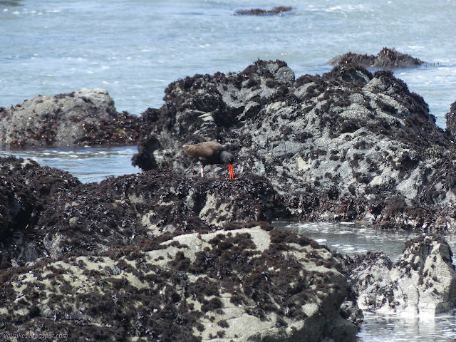
The bright red beaks of a pair of oyster catchers first caught my attention, then the movement of a seal hauling out onto a rock. No otters. Maybe I didn't wait long enough.

So I headed my slightly long way back. Folks were definitely working in the closed area, as warned.

*Sue-meg album*
©2023 Valerie Norton
Written 17 Apr 2023
Liked this? Interesting? Click the three bars at the top left for the menu to read more or subscribe!


Comments