Double Janes Creek Loop reprised
Arcata Community Forest
(map link)
I decided to make a reprise of my old wander looping across Janes Creek twice. This one still has the same fundamental parts, the basic loop involving the South Fork Janes Creek Loop Trail and the second loop with Lower Janes Creek and Upper Janes Creek Trails (more commonly known as 6 and 7 because that's all the signs say), but I decided to connect them together a little differently. Still starting on Diamond Drive because I rather like that trailhead. There could be some support that the Long Loop Trail (17) should get included since it's the uppermost trail crossing over Janes Creek, but it fails in not having Janes Creek in the name. Hey, thems the rules.


I took off for the upper/lower loop first, passing the lovely trail 10 (Vista Trail) heading for 8 (Forest Loop Road, a nice meaningful name found nowhere on it). Hum, loop, I could go either way. I tend to stick to the Arcata Ridge Trail rather than the trails above the university... polytechnic. Whatever. So I turned left and was very soon on the ridge route. It's a little longer to go the other way around.
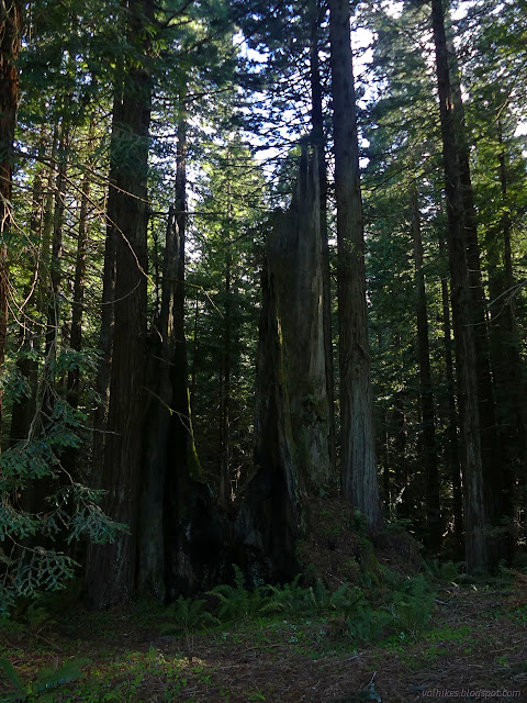
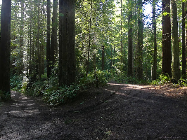
I chugged generally uphill and under the power lines until arriving at the 6 that marks the first access to Lower Janes Creek Trail. It sort of parallels the road a little way and there's a shortcut back later. More importantly, it's a particular delight to walk, passing over a tributary before the shortcut and Janes Creek after.


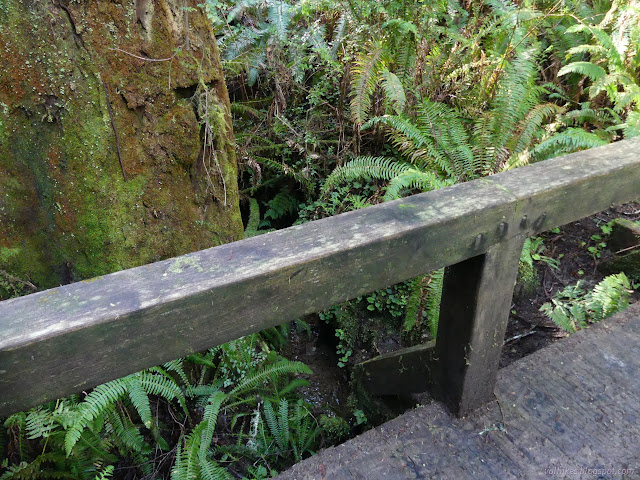
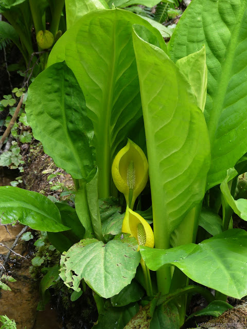
There's a pair of what looks like really old, deep road cuts between the bridges and I found the first to be full of skunk cabbage beginning to bloom. I hadn't noticed it before then, but by the end of the day, I was feeling like it would be a very good year for skunk cabbage.
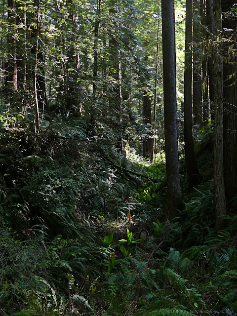


And then the trail opened up and I was on Janes Creek Road (number 11). Turn right to climb to the Upper Janes Creek Trail.

Then there was the 7 marking the Upper Janes Creek Trail. I'm not quite as taken with it as the lower trail, but it's still nice.

The trail is short and I found myself on 12 quickly, so rolled downhill and grabbed the shortcut to 6 for half a second traveling on Lower Janes Creek Trail to complete my loop-di-loop of this secondary Janes Creek loop. As the trail opened up again, I turned the other way and rolled downhill some more.
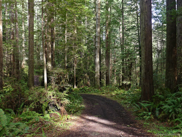
I decided to break up my road travel with a random excursion on Spruce City Trail, number 19, which winds high above the tributary of the Mad River, which makes it utterly superfluous to this Janes Creek devoted route.
As a break from road, it's not that good. The second half is also road and tacks on about as much of that style of hike as coming from Lower Janes Creek Trail does. I continued on the road right down to the far side junction with the Janes Creek Loop Trail with a slight detour on the new segment of alternative trail.
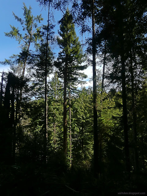
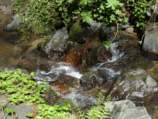
And then made my way down to Janes Creek once more. It's a little bigger where the trail passes over, here.


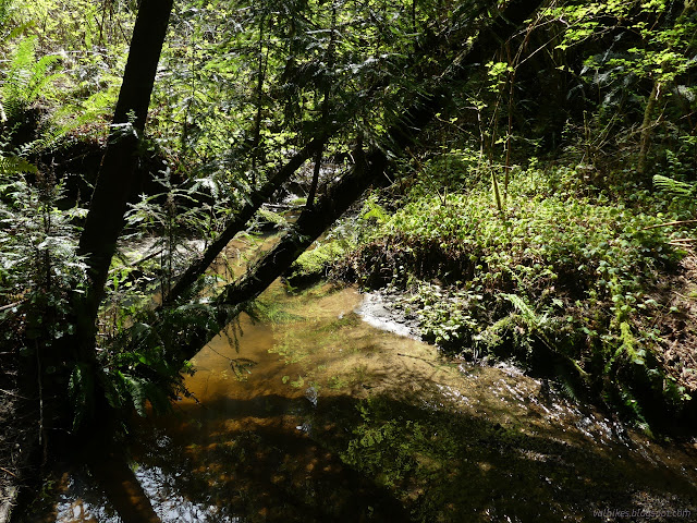
I found a nice sitting rock near the second bridge and filled in a hungry emptiness I'd started feeling while the creek roared by.

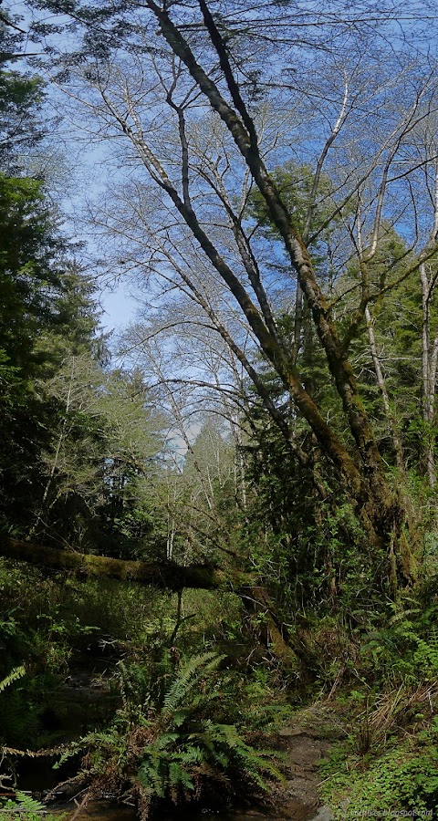
Feeling less hungry, I left the bridge and the out-sized water sounds and climbed back up to finish the loop.
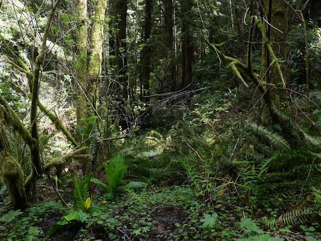
Then right across the Arcata Ridge Trail to a shortcut back to Diamond Drive and another particularly nice bit of path in the Community Forest in my opinion. It's the single track portion of Vista Trail, number 10.


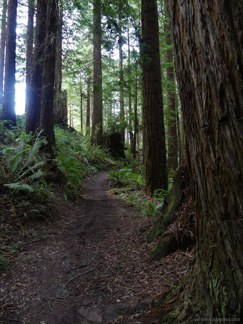
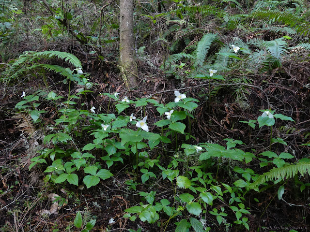
Promises of clouding over mid-morning didn't seem to be borne out as there was still sun as I made my way past those first clusters of trillium and back to the car. It may be time to start thinking of doing some more interesting things further afield. Berry Glen Trail, or looping Rhododendron Trail with the West Ridge, or perhaps some backpacking in Humboldt Redwoods or on the Lost Coast again? Orleans Mountain, or Ruth Lake, or Yolla Bolly? Perhaps too much snow there for a while.
*Double Janes album*
©2023 Valerie Norton
Written 7 Apr 2023
Liked this? Interesting? Click the three bars at the top left for the menu to read more or subscribe!


Comments