Cock Robin Island
Eel River Wildlife Area
(map link)
After stopping by the Cannibal Island Unit of the Eel River Wildlife Area, I stopped at the Cock Robin Island Unit, or rather almost to it. The obvious parking spot on the map is the Pedrazzini Boat Launch, which has plenty of unpaved parking just before the very long single lane bridge over the Eel River to the island. That seemed fine to me. I was happier walking across the bridge than driving and it's a hotspot for bird watching on eBird. While the California Department of Fish and Wildlife plans on replanting the Cannibal Island Unit with trees, the Cock Robin Island Unit already has been.

I headed for the bridge and across. It seemed solid enough and the railings probably aren't even very old. There weren't a lot of birds out.


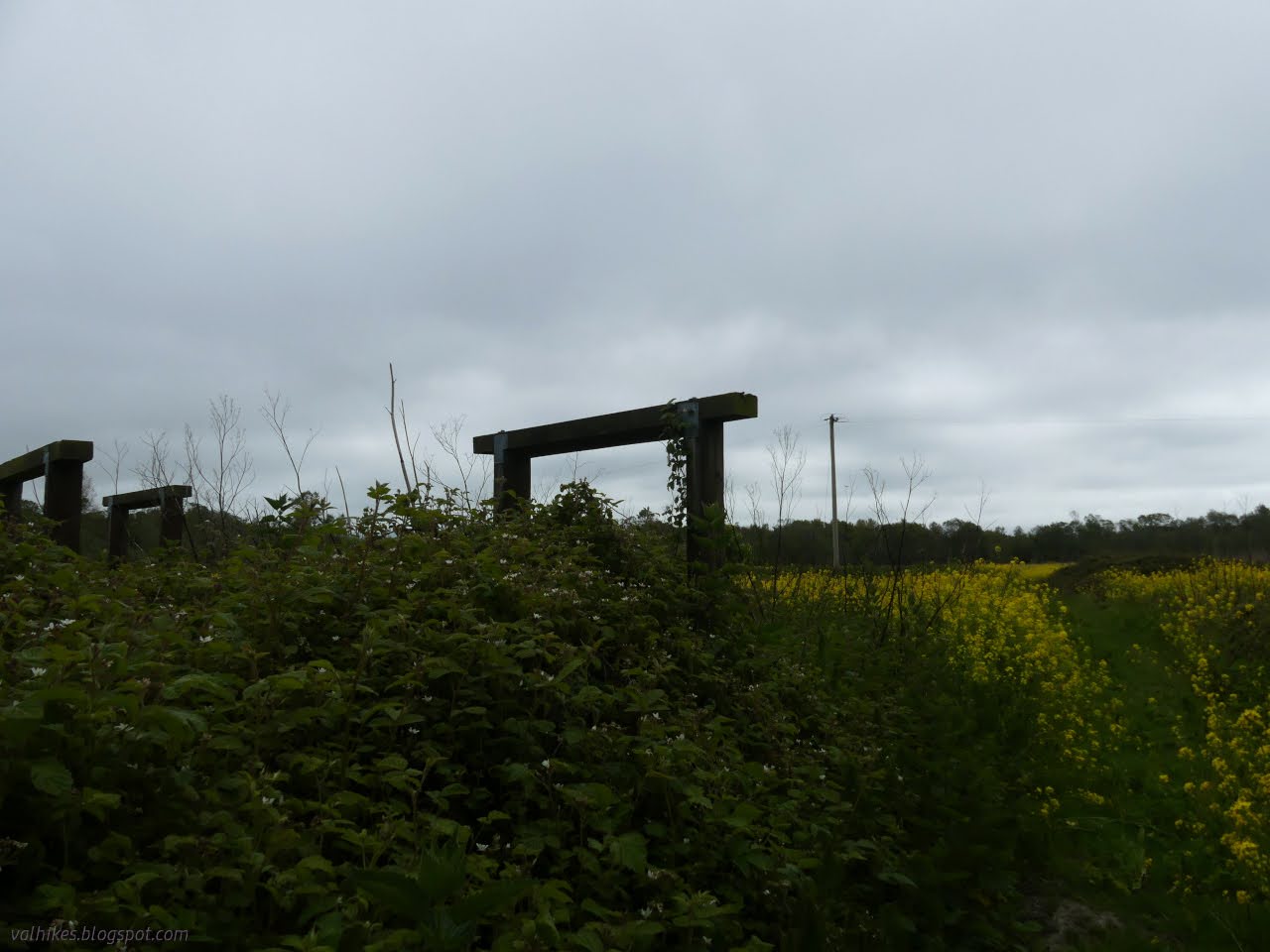
The pavement ends when the road flattens out at the far end of the bridge. There I found another suitable parking area and what may be a built trail. A locked gate sits across it and the path probably gets some regular mowing. To the side, there's the bones of signs that never were.


The trail split and wrapped around planted trees. So a bit of the forest has been replanted. A little bit more took off south, but quickly turned into a wetland instead of a trail with no good way around to the next part. That part may not be meant to be more trail.


So I followed the trail back around, finding no other route. I was marveling at the blackberries, which seemed to be entirely native species. Contrasted with all the yellow mustard-like flowers, it was quite surprising. However, the mustard is just next to the trail. Maybe it's come from the mower.


I continued along the road looking for more trail to follow, but found none. There is one more gate, but it was a huge puddle and not much else beyond. At a drier time of year, it would likely allow access to more field.


Past a barn and a pair of houses (one on private property), the road becomes much less. Two deep ruts often full of water (and pollywogs). I wanted to get to the far side of the island and meet the river once more, but I also didn't want wet feet. I didn't make it to the river. A thin path accessed the field south of the road, so I tried that and wandered a little of another large field. It hasn't all been planted with trees.


And so I returned without meeting the larger part of the Eel River. There was a family wandering the bridge when I got back. They had parked in the turnout for waiting for oncoming traffic, should there be any. It's not a legal parking spot, but you don't expect enough to come past for it to matter.

*Loleta album*
©2023 Valerie Norton
Written 2 May 2023
Liked this? Interesting? Click the three bars at the top left for the menu to read more or subscribe!


Comments
-John