Jolly Giant and More Redwood Canyons
Arcata Community Forest
(map link)
I finally noticed that the trails previously marked as "private road" and "no entry" are now half numbered trails on the newest version of the Arcata Community Forest map. This comes about from the 20 acre Lima Expansion purchased in 2018, and been open a while. Disappointingly, they didn't even name these new trails along with not quite giving them their own numbers. The rest of it somehow became less of a maze once I paid a little attention to the names even though they're only found on the map signs and the online map.

I had wanted to get a space at trail 3 (Meadow Trail, but where's the meadow?), but decided against squeezing in beside the two cars already there. I wandered down from the main parking area instead to start up the hill. This trail shows some old paving as it climbs. I figured that would get me most quickly to the first of the old "private road" spots. Admittedly, it's one I've been on before through the disc golf course. No flying discs on this pass, but plenty of warning signs to make sure I was aware.

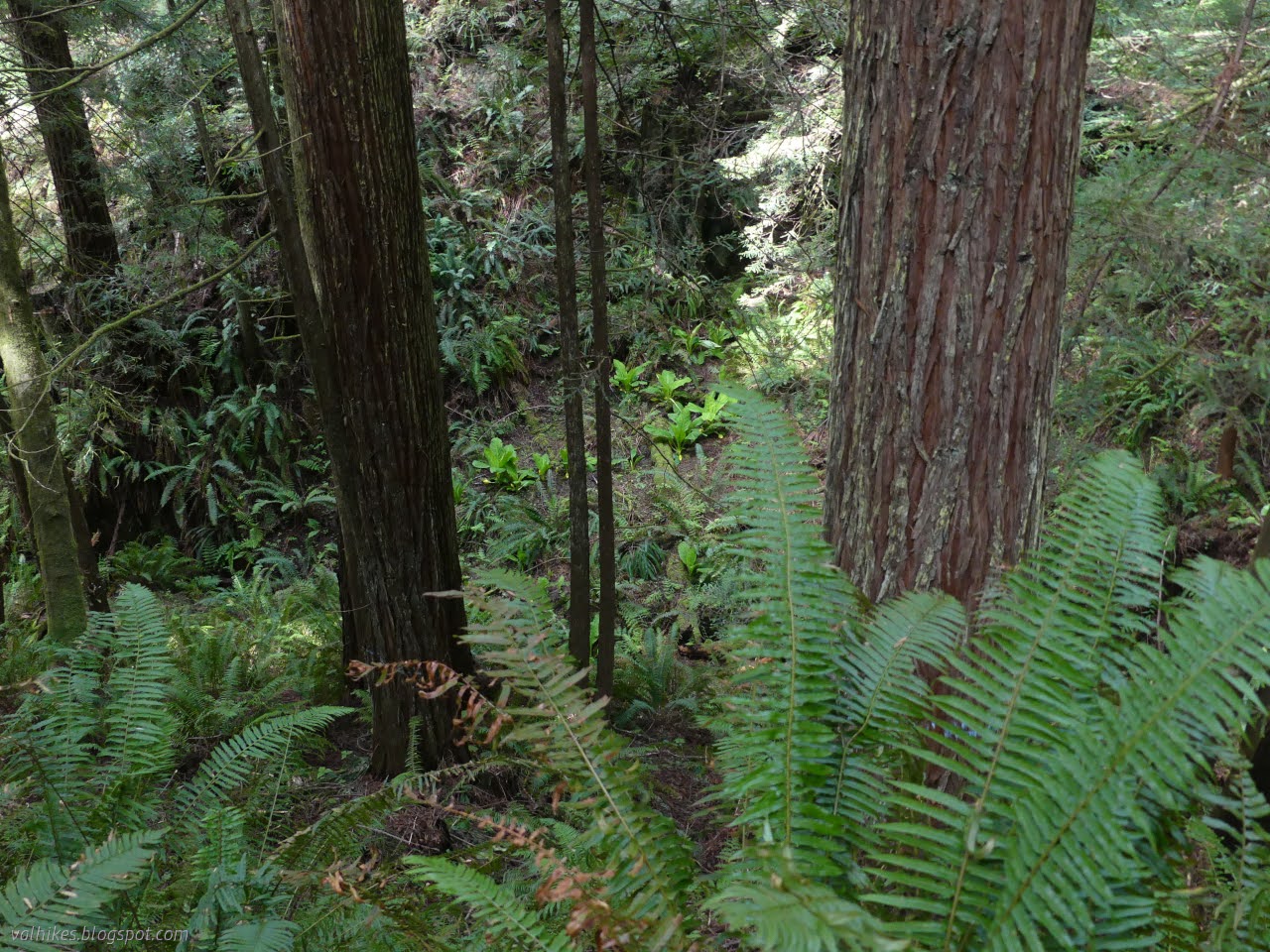
It's not long to the junction with 3.5. I followed it down the hill to see how it connects with streets. It was very wide and muddy and arrives at a large parking lot at the end of Bayview Street. (It would therefore make sense to call it the Bayview Trail.) The city hasn't mapped this, but hasn't put any discouraging signs on it either. There's sticks lining the trail and an intricate web of smaller trails around that presumably take one along the disc golf holes as well as paralleling the main path with a bit of redwood sorrel between. I continued the other way around more little redwood canyon to the next junction.

At the next junction, I turned for 14.5 and took it to the Jolly Giant Road (trail 14) and followed that down. I didn't make it all the way to the trailhead to see if there's parking there. (The map indicates not.) Something about the soundscape took on a form that is quintessential of university living. I looked up the steep hill past a few big trees to the dorms, then turned on my heel and started back up.


Jolly Giant Creek provided the city with water until 1964 and owning the land around it helped keep it clean. I noticed metal covered ports at the side and one smaller dam before eventually coming to dam #27.


There's a big opening in the trees near the dam and old reservoir. The dam was modified to only hold 12 vertical feet of water instead of 35 so it no longer needs an expensive yearly inspection. A picnic table on a platform provides a nice perch for listening to the water gush through the pipe in the bottom of the old dam and maybe watch some ducks.


I took off aiming at the top of trail 3.5, where there used to be a discouraging sign about a private road. I hadn't exactly solidified my plans for looping about except that I particularly did not want to include the Fickle Hill Grade. (It's the one marked 9 and the one I've always ended up on when skipping the bit that used to be marked "private road".) I wandered down along the Big Rock Connector and Trail (16 and 4) a little, then climbed a bit only to return right back to Big Rock via the Powerline Trail (15). (The Powerline Trail isn't so bad as it sounds. It tends to bounce off the area of razed trees where the powerlines cross the forest and passes by one of the large old broken trees that were left by the loggers in 1870 or so when the area was logged.)


So I came back around to the Big Rock pieces and followed them along the more direct route to that old sign for the "private road".

There's no "private road" sign now. There's a forest map and bike repair stand and signs to point to trails. Besides signing the old roads as trail, they've also put in a couple fancy jump trails for the mountain bikers. From what I could see of the Peanut Butter Trail, it is sometimes with options! Take the big bump or slog on through a severe mud and slime and water hazard! It might mellow out as it dries out.

Following 3.5 to Meadow Trail to Sitka Trail (2, and the exclusive purview of hikers) got me around to a choice. Directly back, or through one more redwood canyon? There was still plenty of time and light and my feet and legs were happy, so I went the long way. There seemed to be more flowers along the Nature Trail Loop (1).


So that made some excellent winding among the trees. Also, it's time for OpenStreetMap to stop calling these "private road", so I did some editing when I got back. If I get really confident, the forest boundaries might get updated, too.
*Jolly Giant album*
©2023 Valerie Norton
Written 24 Apr 2023
Liked this? Interesting? Click the three bars at the top left for the menu to read more or subscribe!


Comments