Mosley Island
Eel River Wildlife Area
(map link)
After the railroad and tunnel, my next objective for the day was to visit a couple of units in the Eel River Wildlife Area. This is California Department of Fish and Wildlife land that doesn't require a hunting permit of any kind to access. Its purpose is to "protect and enhance coastal wetland habitat". I have previously hiked on the Ocean Ranch Unit. Today, I would explore the Cannibal Island Unit, which occupies the north and west sides of Cannibal Island and the north side of Mosley Island. It looks like there are a couple of ways to access the parts on Cannibal Island on county roads (noted by the yellow tag on the road signs), but they aren't terribly good roads and they are a bit flooded at the moment. I was aiming for Crab Park, a Humboldt County park, at the end of the road as the only obvious place to park. It is more of a turn around. The road is paved to the bridge from Cannibal Island to Mosley Island, then was good gravel nearly to the parking lot. It seemed to be forming small scale mountain ranges for the last few feet and I was a little surprised not to knock some of it down with my low car.
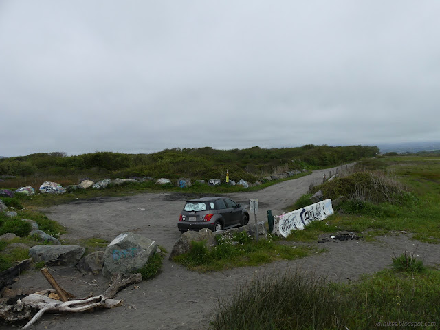


I wasn't paying enough attention (and there were no signs), so I wandered out to the beach and southward along it until I had a look at the almost detail free map of the wildlife area I'd downloaded from CDFW. It is just enough to realize that the wildlife area is entirely north of the road. I turned around and wandered back the way I'd come, down below the high tide line.
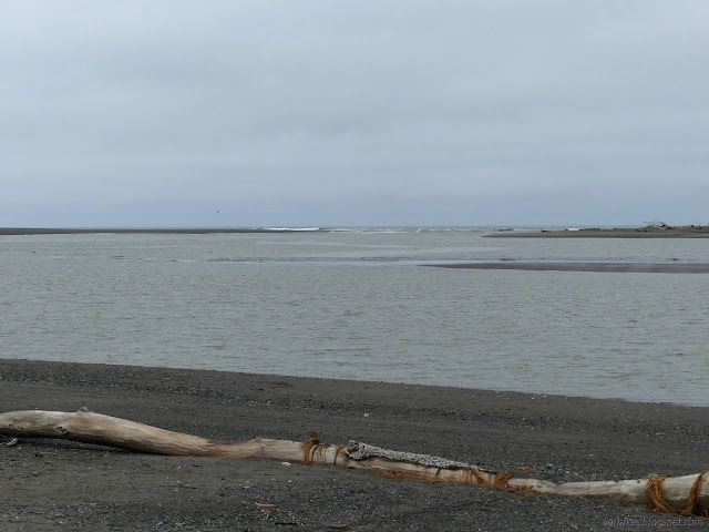


Shortly after getting back to the appropriate portion of the island, I found a path inland and followed it, then followed more path northward among the plants.
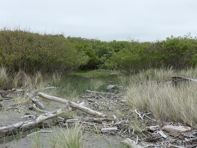

The trail was pretty obvious for a while, but then started to fade and split. I climbed to the top of an old levy, but there was no trail along it.
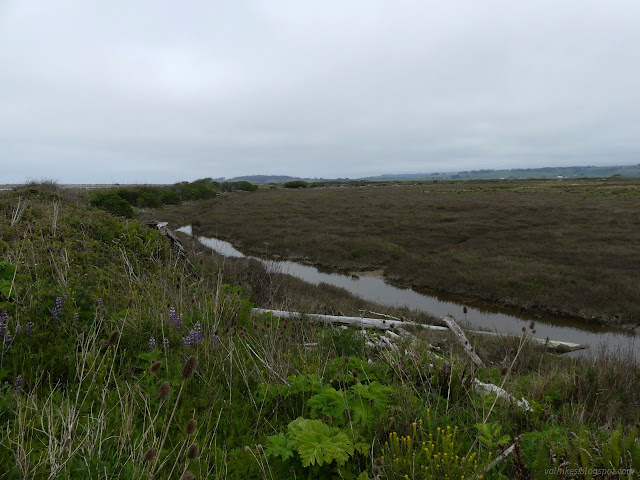
I worked my way to the northern edge of the island without much trouble even without a certain trail. There was a single canal of water along the way to cross. The dry dirt under the grasses turned to a mud on the way and I had to watch my step as I approached the edge.
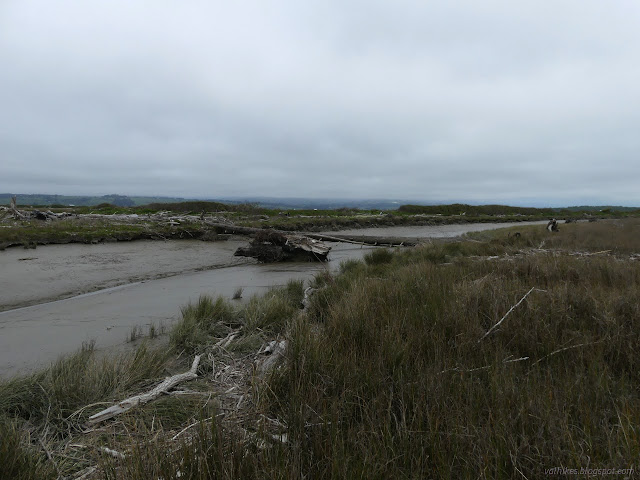

I did not try to cross the nearly empty slough to Cannibal Island to investigate the old ranch buildings. The bird prints in the mud seem to sink quite far and I doubt it would be a simple procedure. I worked my way around toward the beach instead.
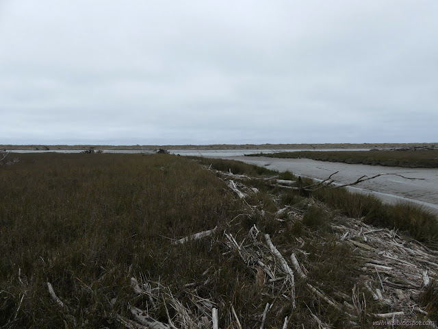

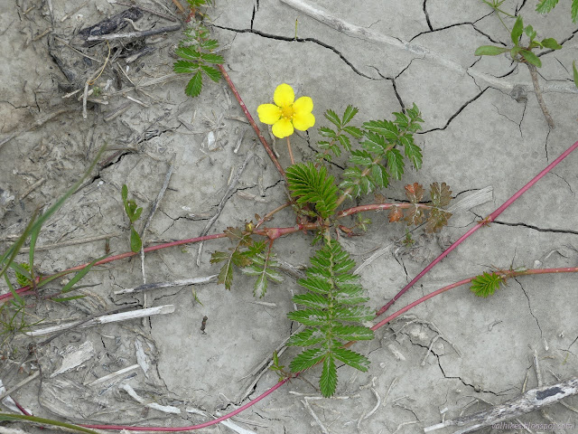

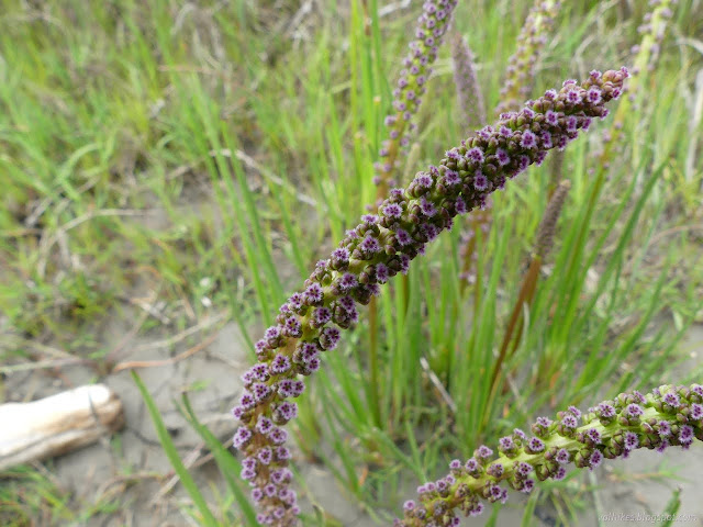
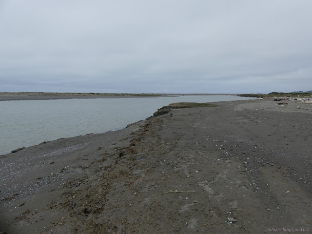
There were footprints along the path I followed back. Eventually, the mud surface looked like it would support me as there were more footprints on it. I was watching a kayaker in the bay, but only briefly. He didn't stay out long.

This land was once for cattle grazing as is still happening around it. Now there are plans to replant it to a riparian forest that once thrived here.
*Loleta album*
©2023 Valerie Norton
Written 2 May 2023
Liked this? Interesting? Click the three bars at the top left for the menu to read more or subscribe!


Comments