Walker Lake stroll

Walker Lake Recreation Area, Stillwater BLM


(map link)

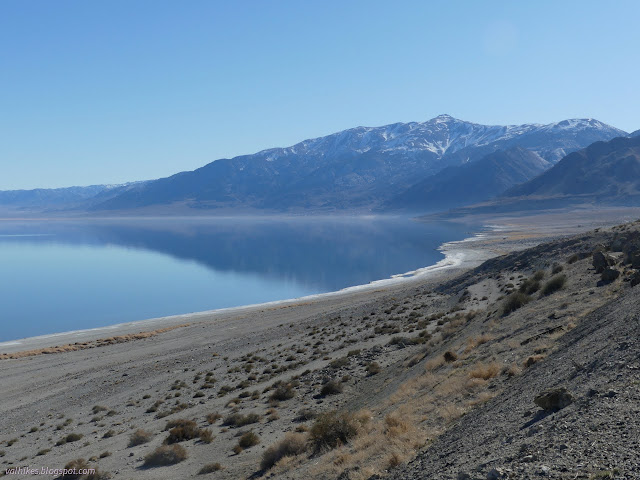
After driving far too late into the night, I finally found myself a spot at Tamarack Beach Campground along Walker Lake. This is one of a pair of free Bureau of Land Management campgrounds along the lake. It looks small, but tent campers are allowed to drive down to the lake to find a site as they like. I kept to a pull in site rather than risk getting mired in the sand. A walk beside the lake seemed a sensible thing to do while I was there, so that's what I did.

02: north end of lake
The north end of Walker Lake and the mildly colorful mountains on the far side.

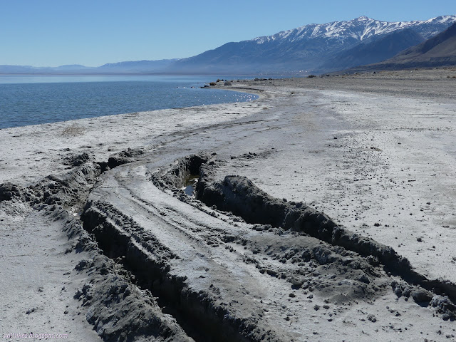
I headed off first to see what the danger signs I'd passed in the dark were about. They simply warn that the south shores are off limits and may contain unexploded munitions. The south shores are part of the Hawthorne Army Depot, which lays claim to being the largest munitions storage area in the world. Not a problem for me as I was headed north. I followed the generally compacted road down to the shore and followed it north. There were only a few soft spots that could easily be avoided.

04: town and mountain with snow
South to the town of Walker Lake below Mount Grant, the county high point. (It is on the base, but there are ways to get permission to go.)

05: salt covered shore going north
A very salty shore on the way north.

07: long image showing more lake
More of the north and center of Walker Lake and the mountains behind. (Click to embiggen.)

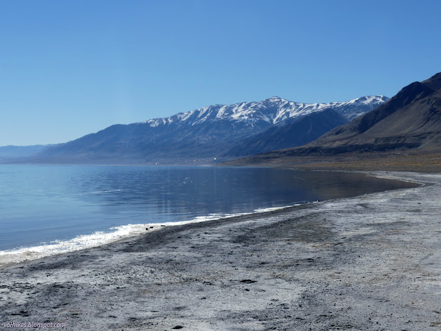
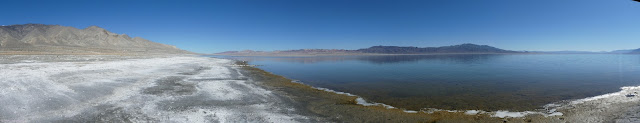
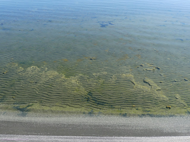
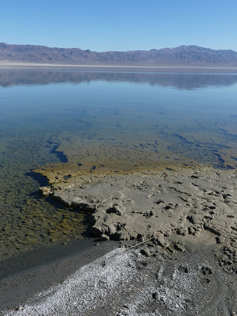
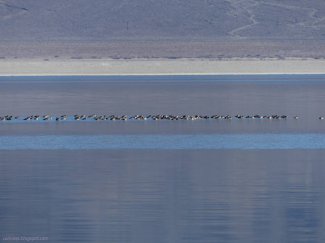
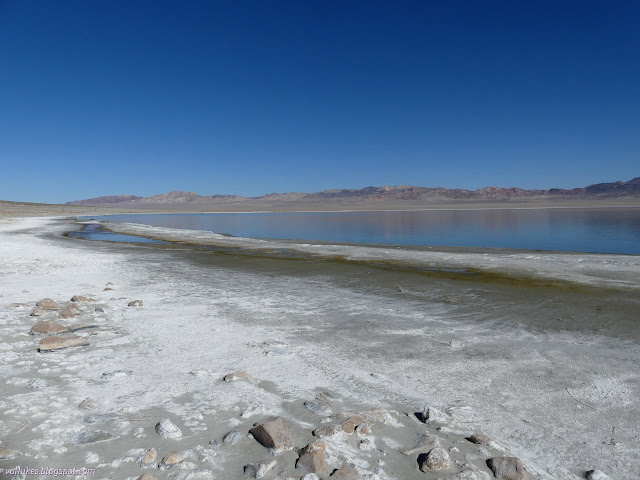
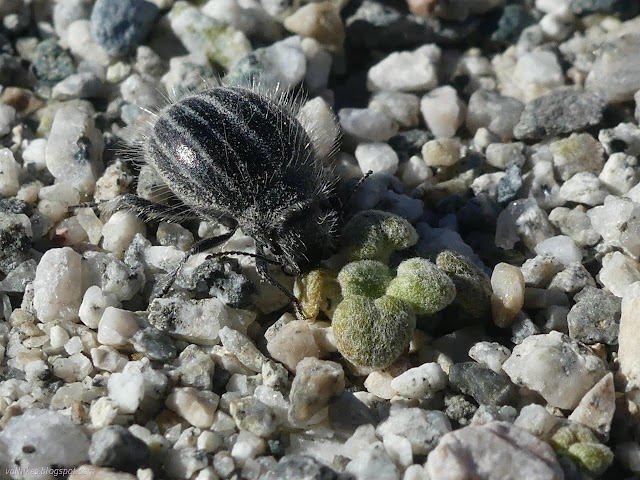
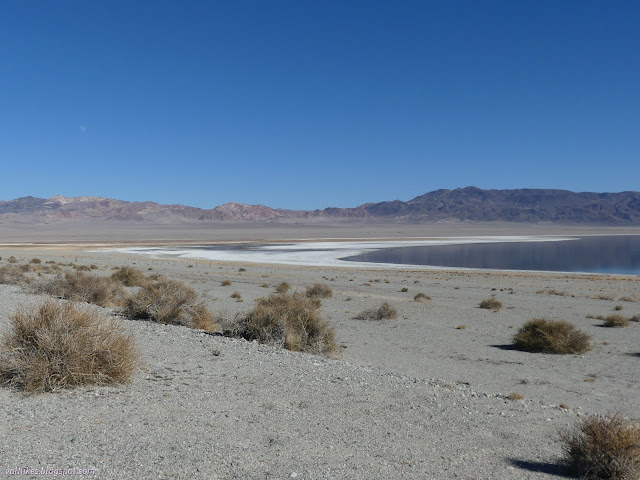
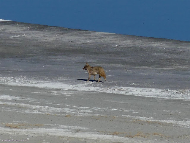
Walker Lake is currently shrinking. It was one stocked with fish, but they can now the salt has become too concentrated and it can no longer sustain the fish. It is not entirely dead, though. Clearly there is an algae that can survive and I saw other little movements once I started looking.

09: texture of the shore
The shore is not a straight edge.

11: mossy rocks with flies
Alkali flies were swarming over one spot, providing life based motion, at least until I got too close.

13: small, long things and short things in the water
There is animal life in the water too, but it is very small and hard to focus on.

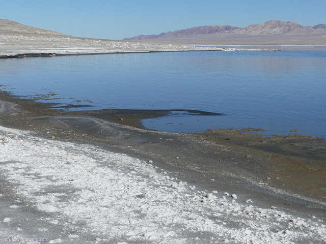
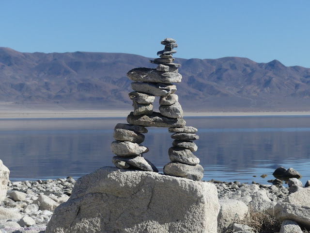
I continued around, enjoying the variations on shoreline that came up and the colorful mountains across the way.

15: short, abrupt drop
A tiny cliff edge has been left by the action of the water on the shore here.

16: ripples of green and rock
Ripples in the lake bed are topped with the algae.

17: patterns in black and white
Salt patterns on the shore.

18: mountains rising to green
A little bit of the peaks behind. They support pinon pines higher up where they become greener.

19: deep wheel marks
You may drive down from the campground above, but that doesn't mean you should. These tracks are from a vehicle that came down to the water just fine, but then broke through and dragged itself on its slide plate for over 100 feet.

21: rocks in an ordered pile
One, but only one, of those. I didn't do it.

23: flat of much sitting higher in the water
Possibly the result of a sort of delta at the end of a wash.

24: ducks on the lake staying very far away
A patch of ducks on the water.

26: water split off from water
Puddles at the edge of the lake.

31: coyote prints of all sizes
Lots of "dog" prints in the sand.

32: water beside the water
More little ponds beside the lake.

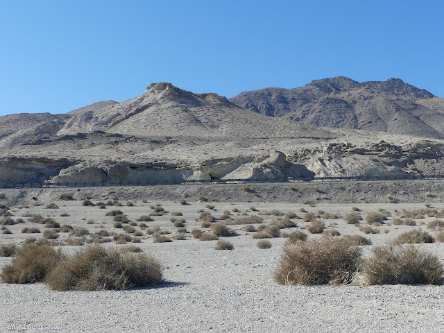
As I got near to the north end of the lake, there was a road up to the highway, or at least that's what my map said. I headed for it and found it without much difficulty. There was a bit more life on the land as I got away from the lake.

33: tiny beetle chewing on a tinier leaf
Smaller than a thumbnail, but the beetle is life, and so is the tinier plant.

35: water at the inlet side
Moon over Walker River, what there is of it.

36: roadway and road side geology
The highway above shows some road side geology.

I let the geocachers before me dictate my route back a little. Had I not done that, I'd likely have taken the old highway back. It climbs a little across from where I met the highway and has a connection down to the campground where I started. Instead, I stopped by one side, then crossed over and walked behind the guard rail to poke around on the other side, then found my way down to Twentymile Beach Campground.

39: lake edge and mountains with snow
The lake edge along which I was walking, seen from near the highway.

43: wild dog down by the lake
One of those "dogs" leaving more prints down by the lake. There were a lot of coyotes in the area and this isn't the only one I saw.

Twentymile Beach Campground has two bathrooms, one on each long arm with a loop at the end, but is missing the pull in spots. It is also free now, but had a box to collect fees. I decided I was in the better campground for me before finding a way to wander cross country back to it.
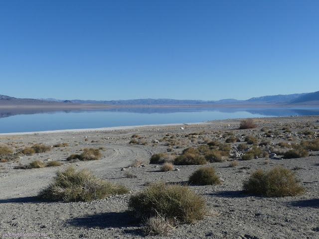
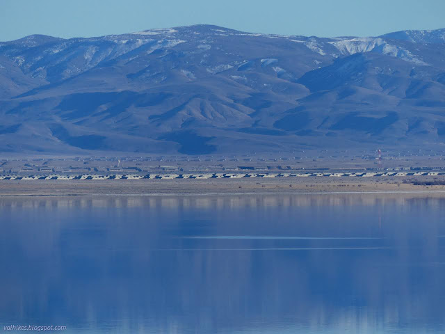
45: lake and more mountains
The off limits south side of Walker Lake.

46: bunkers regularly spaced
Some of the unexploded ordinance in bunkers.

47: fighter jet
The fourth fighter jet overhead and they really are loud on the turns, even when going slowly.

*photo album*


©2022 Valerie Norton
Written 14 Mar 2022


Liked this? Interesting? Click the three bars at the top left for the menu to read more or subscribe!


Comments

follow by email

popular posts:

Jennie Lakes: Belle Canyon and Rowell Meadow

Lost Coast: Cooskie Creek Route

Mount Lassic

If the Map's Wrong, Fix It!