White Cliffs Wagon Trail
Kingman Regional Park
(map link)
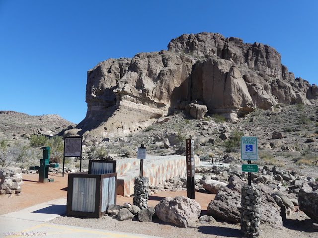
The second geocache I needed to finish off the "challenge" on at Geocaching.com was somewhere within the small and multi-looped trail system of White Cliffs Wagon Trail which is a regional park near the edge of Kingman. Where, exactly, I wasn't sure since my map wasn't up to date with that trail system. I should have photographed the beautiful trail map at the parking area, but I figured it couldn't be that hard to locate. First up, though, was the old wagon road. Along with the map, there is some history. The sign says the Board of Supervisors were petitioned to blast the road due to the 2 foot deep ruts. That would have been something to see. They are very obvious, but not quite like that, now.

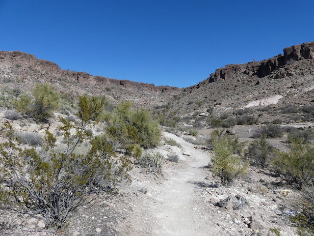
Since the techniques of driving wagons through seemingly impossible terrain have been lost, the purpose of the holes can only be speculated upon. Wood posts may have been placed in them to slow the wagons down as the descended. After the rutted sandstone, the canyon branches. I picked a direction that only got me closer to the geocache briefly, then headed off very much away. I committed to it anyway. It's a nice little trail along the edge of the canyon.

Eventually, as the trail came around the end of the canyon arm and back out, I got closer to the geocache once more, but not close enough to go find it.

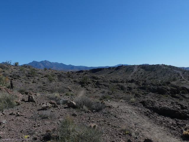
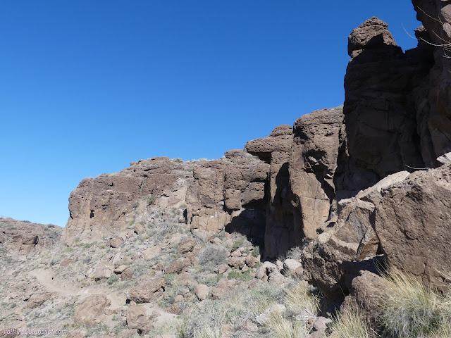
I came around to a crossing and a bit of confusion as to where the trail went or if a segment was just road. I crossed to the other side where things were clearer then pondered if the geocache would be above or below the cliffs. I selected above and followed the trail away from it to a series of trail markers that climbed up through a break in the cliffs. This faint trail got me to within 60 feet of the thing as I stood looking down the cliff. The right choice is below. I headed back and continued around the loop. I missed where it could be extended and followed shorter trail up onto the cliffs on the far side for more extensive views than the low trail.


The trail came down below the cliffs again as it found a high route through the same branch canyon I'd first traveled around. There seemed to be more people popping up. Although I saw lots of tire tracks, all the people actively using it were walking.

I came down to the first junction once more and headed out on the only as yet untraveled trail to finally get the geocache that had been the goal of stopping in the area. It was still a challenge to get to from the trail, but at least I was reasonably certain I'd be in the right place cliff-wise when I got there.
*photo album*
©2022 Valerie Norton
Written 30 Mar 2022
Liked this? Interesting? Click the three bars at the top left for the menu to read more or subscribe!


Comments