Foothills Rim and Monolith Gardens
Cerbat Foothills Recreation Area
Click for map.
There is an extensive trail system at the edge of Kingman, Arizona, and so I am off for a general exploration of them starting at the Coyote Pass Trailhead. This trailhead is only accessible from the southbound lanes of US-93. There is a right hand turn lane, but little indication what it is for. There is a huge lot with trash cans and signs at one end and a bathroom at the other. The signs indicate that the trails are on a mixture of federal, state, county, city, and private lands and is generally run cooperatively between BLM and the city. Oh, and trails are maintained by the local mountain bikers. It sounds quite complicated to get set up, but they managed it and now there are trails for all to enjoy.
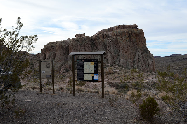
I head down the trail in front of me toward something interesting. It looks like someone carved a door into the side of a particularly large air bubble in the rocks to make a store room. There is some hint of hinges in the past, but now it is covered in graffiti, so rapidly becomes less interesting.

The trail runs into an old road at the bottom of the monolith and follows it around to the right. There is a register and signs pointing the way as the trail divides for the Monolith Gardens Loop. They look rather new. I take the right, leaving the road, and soon there is a second junction. This one confuses me since it says it goes back to the trailhead, but I had seen a trail that wound along the other side of a small canyon and came up around the back. Soon after that is a third junction which I am looking for: Foothills Rim. I take a right again with a promise of easy climbing.

Easy climbing does not even begin to describe what the trail does. I'm not certain it is climbing at all, but it certainly uses enough switchbacks to do it. I start wondering just how drunk the so-and-so who laid this thing down was when he did it. Maybe it's because the moment the trail turns the least bit upward, it becomes a watercourse when the intense summer storms hit. Maybe it's because the mountain bikers got to choose and they figured the longer route would be more fun. One way or another, this trail has gotten excessive in its attempt to climb while never actually going up.

Somehow it does climb. The previously hidden city comes into view, particularly some industrial areas. Off to the south, there is a handful of windmills. Above, the high mesas get closer. Or monoliths. Whatever. The trail takes a sudden swing off to the side gaining yet more mileage, but this turns out to have a purpose of standing for a moment at the edge of a huge canyon before swinging right back to its previous slow climb.


The trail crosses a utility road and then launches into the passage between a couple mesas. In particular, it launches into the stream area between some of the mesas. The bikes are familiar with it and there are tire prints to help direct my search for the next segment. I do suddenly turn up into the the mesa on the right and get up and personal with some of its features for my own nefarious reasons. (It's to sign a geocache, but that doesn't really require climbing up and around the, well, monolith as I do.) It has some interesting details in undercuts and cliffs and fallen shelves.


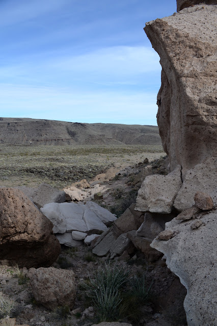
Back on trail to take another try at finding it, it isn't too hard. Well, it does take a bit of attention to find it. It is made harder because it swings a bit more than anyone would expect. The drunk so-and-so is still laying it down. It weaves its way on to a spot with a bypass trail. I take the rim trail, explore a little off it, but never quite figure out what exactly needs bypassing. The Tech Ridge Trail spurs off, but I am barely through the loop I planned, so I bypass that. Pretty sure that's not what they meant. Maybe it's just an excuse to surround this particular monolith with trail.


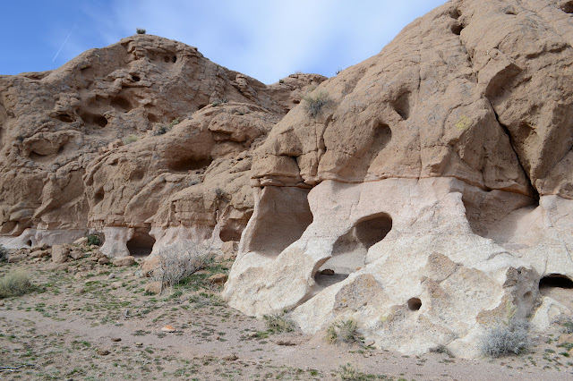
Then it is off to the next thing. Wiggle wiggle wiggle. We wouldn't want to get there too fast. This, as it turns out, would be a bit that one might characterize as the rim of the foothills. The gentle slope comes up to an edge where everything drops off quite steeply into the next valley. There is a spur for one view, and then the trail passes another spot for a little different view. It is an expansive view full of items to catch the attention and want to hike next.
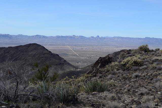
I pass a connector and the trail really begins to thin. The only prints on it now are from the cows. Yeah, there's cows out here. I saw some before I started, but have not yet encountered them on the trail. The cows have their own trail, but I seem to be able to distinguish if they are on or off trail. I'm not sure how. Maybe I'm fooling myself. It swings inward, then out toward another viewpoint, so it certainly seems to be keeping in character as I meander over the high point of the day.
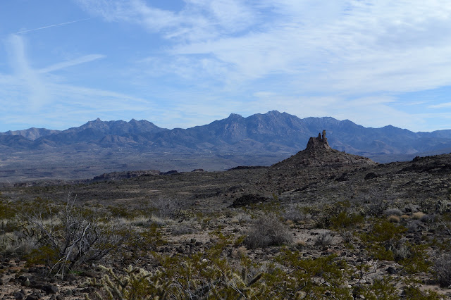


The trail swings back having reached its apex. There is another connector which looks to be even less used than the one I am on. It offers a different route rather than a shortcut between places. The trail wiggles out for a couple viewpoints over the lands to the south, then gets on to a very slow downhill. It gets really hard to stay on trail when I see it wandering off to the right somewhere and coming back to get all of 20 feet away and 1 foot down. But I'm sure it is a fun turn for the bikes. It is downright maddening for hiking.

Maybe I did get off the trail, because I run into the Monolith Garden Loop a couple hundred feet from the marked intersection. What I was on seems to get more use than what is marked. There is time, so I take the right to go around that loop too.

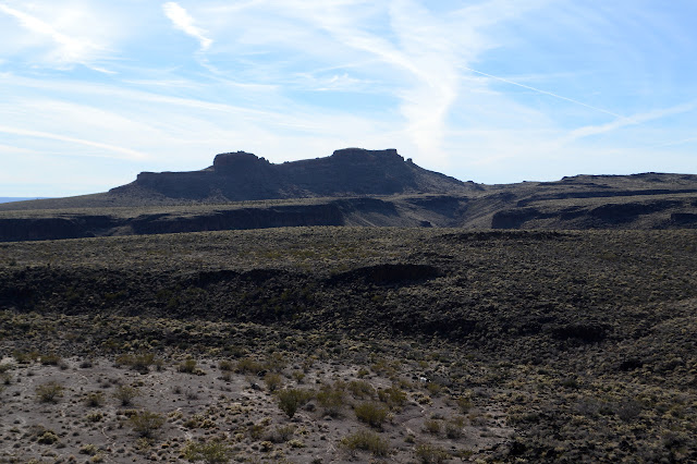
I had noticed a geocache that doesn't get much visitation off the trail a bit on one of the monoliths and it sits there as a teasing challenge. I can't help plotting how I might go about getting up it as the trail curves around its neighbor and then travels towards its base.

I can see a way up past the cliffs around its base and a possible way up the more significant cliffs around its top. I'm pretty sure I don't have enough water, but when I check there is still half of the 2 liters I started with. Time looks close, but not too close. I could do it and become the 4th signer since it was placed in 2012. The others made a special trip out here. So up it is. The first cliff is mildly protected by a scrub oak, but quickly put behind me. The long slope after that is just a trudge. I check to be sure I really have to climb up the last bit, but that wishful thinking is not rewarded.

Getting up the main cliff requires putting the camera away and a little bit of class 3 climbing, but it too is quickly behind me. A little bit of rock scramble puts me at the top and a little searching not too far off gets me something to sign. The view is nice, but the camera gets neglected. Then it is down again. Down is a little harder, partly because not quite all my hand holds hold. The other three points hold as I find myself squeezing a now loose rock to the rough surface it was recently part of before getting my leg out of the way to drop it. Yeesh. Then back down to see the garden. The rocks of each layer seem to have their own distinct way of eroding giving an ever changing character for this hike. The themes repeat, but in quite different contexts.

The trail approaches the old road it started on, but avoids following it for the most part. With the road is a deep box canyon. It stands mostly in shadow now, but I am quite certain there is water below in it. There are certainly small pools. As the box end of it comes into clearer view, the very dark spot below it resolves into a deep pool. There is water here.


The trail winds along, but now not so much in a way that seems to be getting nowhere slowly. I pick loop or connectors according to whim as the light reddens and dims. Oh, and there is cattle to contend with. They are slightly skittish, which just makes me worry they'll do something unexpected.
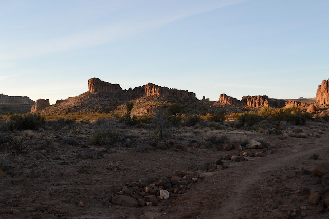
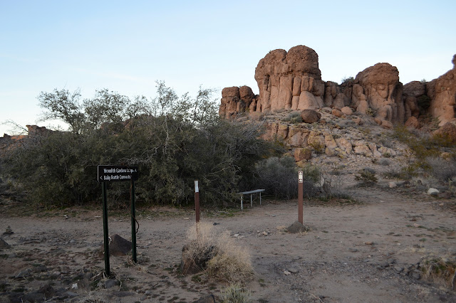

I had not been expecting much of the area at first. It looks a little bit bleak at the start, but it really is a place that rewards a little exploring. Maybe not quite so meandering an explore as the trail insists on, but some wandering is quite nice. I climb the little hill back to the parking lot as it gets dark happy to have given the place a chance.
©2019 Valerie Norton
Written 12 February 2019
Liked this? Interesting? Click the three bars at the top left for the menu to read more or subscribe!


Comments