Cave Spring and roadside lava caves
Mojave National Preserve
Click for map.
I noticed there was a spring marked on the electronic map not more than a mile from my campsite and decided to see what it may hold. Probably the cows know about it and it is just a mess. Certainly man knows about it, it's on the map. Probably it has been piped for the cows. Zooming closer, a name appears. "Cave Spring" probably means it's another mine that hit water. Anyway, I resolve to stride out across the desert and see it, then wander back along the ridge it is nearly on and see the road side caves on the way back.

Setting off, there is very quickly a cow path going my way. I follow it across the desert edging around the side of the ridge, until it gets lost in an area of cow sitting about. I just go on for I am not quite ready for sitting about. Cow paths develop under me again as I climb over a low rock ridge using a break in the rocks. Up on a far wall, there seems to be a spot where the rocks have been dug like for a mine. Maybe that is my destination.

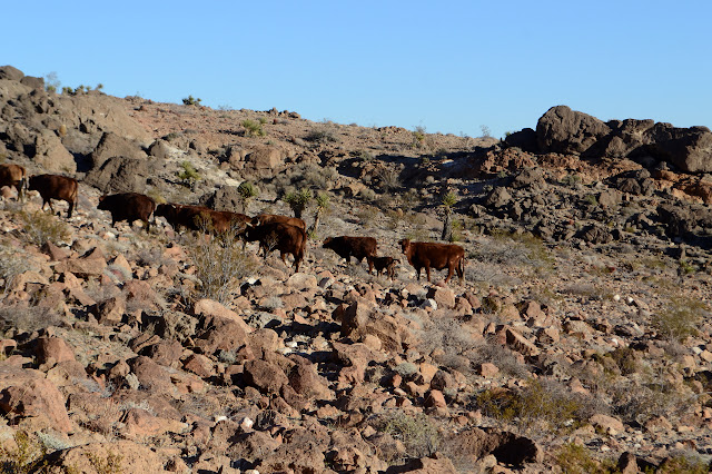
Or maybe it's up by the cattle. As I get a little further around the hill, they are visible on the hill. Not much green and therefore spring is visible. I pass hoses washed down from people piping the spring with things that are far too weak for the environment. For a bit, there seems to be a road sized hole between the otherwise lush (for desert plants) cactuses.
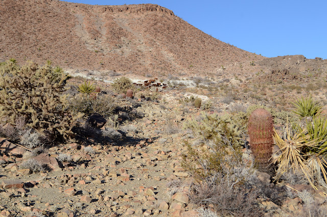
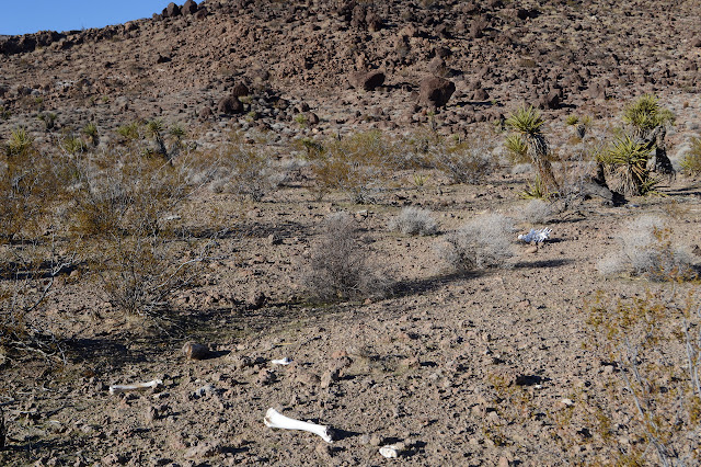
Cows are probably not ordinarily a good indication of the location of a spring, but they are loitering around just up the hill from it in this case. It is not an old mine. It is an overhung bit of ash. The hard bit of ash both holds strong to make the overhang and pushes the water to the surface to make the spring. It could be a pretty cool spot to visit except for the stink of the blanket of cow leavings in the area below the overhang. The spring is piped and although it only drips over the overhang, it is enough to keep a big trough with water.


I can only guess as to why the spring area once needed a telephone pole or the purposes of various other pieces of construction. The cattle stand between me and the ridge, but I can go around them and they will probably move off as I do anyway. Onward and upward to go downward!


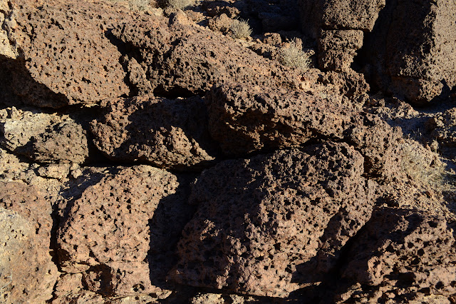
Movement along the ridge is fairly easy, I just have to follow the right twisting down. For a moment, I don't, but I can see the pullout for parking for the little caves off the end of the other snaking ridge line and can quickly correct it. Meanwhile, nice views. There really are some odd rocks around here. One layer of lava has cooled in a way that puts me in mind of acorn storage by woodpeckers. Every time I see it out of the corner of my eye, I am sure there is an acorn in most the holes.

The going gets a little harder as I find myself at the top of the caves. Viscosity changes, cooling gradients, I wonder what caused these to form. There are not overly large, but many are big enough to go inside.


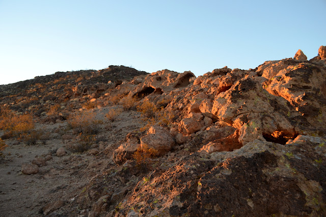
One cave aligned with the road looks like it was cut into by the road builders and looks like it might have a fault running through it. The caves do not extend to the far side of the road. I cross and follow the dirt road back to my campsite.

©2019 Valerie Norton
Written 8 January 2019
Liked this? Interesting? Click the three bars at the top left for the menu to read more or subscribe!


Comments