Sacromento Pass
Bristlecone Field Office BLM
(map link)
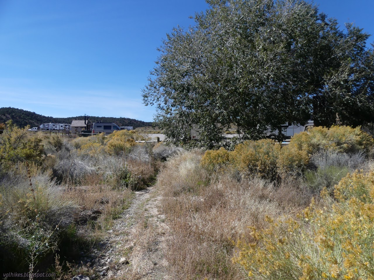
I decided to stop by Sacramento Pass Recreation Area to see what is there. Free camping in a lower area around a pond or an upper area with a corral. Each area has a bathroom, but there's no water besides the pond. Provided you have your license, you might try fishing in it. There's also looping trails that connect to both camping areas aimed at mountain bikers. I decided to give them a try, starting with the Sacramento Pass Loop to Lucky Boy Loop to Mine Shaft Loop. There would only be a little segment of these trails I'd not hiked when I was done. Then I could try the Weaver Creek Trail! (Okay, there was no time in the bit of afternoon left to go on that.) That's a 2 mile loop and a 4 mile loop connected by a half mile loop, but with a little of the 2 mile left out. So about 6 miles. It turned out a little longer according to the GPS.

The first part of the Sacramento Pass loop is heavily eroded, but marked. It is better once it starts climbing. The climb is slow but perhaps not quite so gentle as often found on mountain biking trails. Turns out, these trails can be gentle, but offer plenty of challenge too.


Mine Shaft is really a lollipop instead of a loop. Trail crosses along low, rolling hills toward a rocky ridge that it circles. I was getting distressed at how much all this trail was paralleling the highway. It doesn't have constant traffic, but it is quite frequent enough.

At the split, I went left for the clockwise loop. This gets the highway side out of the way, but it starts to retreat from the highway as well.

This side of the loop winds in and out of some tiny canyons, further muting the highway noise. The first is the big one that actually drains the wide flat to the west of the ridge and the trail around it has some rocky and steep sections. One of those challenges for the bikes. Up at the top of it sits a balanced rock and this sufficiently amused me to get me out of my grump about walking parallel to a road.


At the southern end of the loop, there's some nice views of what lies further south.


At the far west extent of the loop, it crosses over a steep road multiple times then gets onto some more sensible roads to proceed north. After a while, it becomes trail again as it plays along some nice rocks.


Finishing the loop, I had to cross back over and finish the rest. It was already getting a touch late.

The rest of Lucky Boy and Sacramento Pass loops wind through more rocky terrain where it can be a little difficult to see exactly where the trail goes. There are plenty of footprints because these trails are getting plenty of use. I saw bikes and runners both on it.


I finished a little rushed, but happier about the trails than when I started. I never saw the mine shaft that Mine Shaft is named for, so if you're looking for that sort of thing, you'll have to find your own route. I did already have plenty of mine shafts on my circuit the previous day, so no real loss.
*photo album*
©2023 Valerie Norton
Written 13 Nov 2023
Liked this? Interesting? Click the three bars at the top left for the menu to read more or subscribe!


Comments