Johnson GB: Johnson Peak and Bristlecone Pines on the Snake Divide
Great Basin National Park
(blue-green line, map link)
DAY 1 | DAY 2
I got out of the tent with the reds of dawn just touching the top of the surrounding cliffs of Baker Lake. My puffy pants and jacket were quite welcome, but the second jacket was removed within 5 minutes for being too hot. It would have been a very welcome addition at the 7,700 foot camp, but not so much at the 10,600 foot camp.
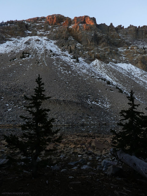

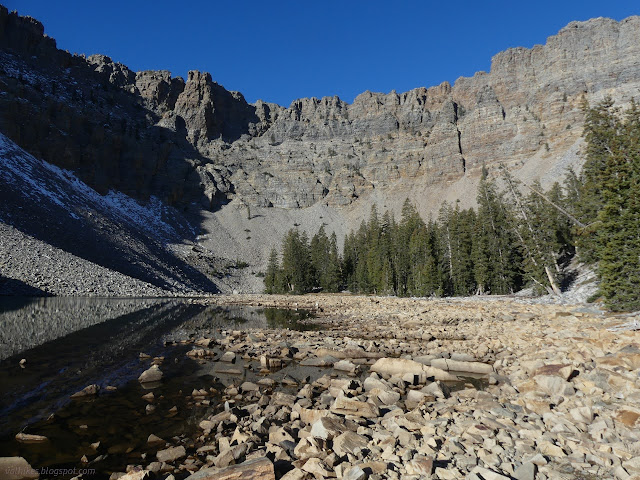
Breakfast was made, but it takes quite a while to eat it when pondering the way the light and water and rocks play together. I wandered about the lake with breakfast in hand, finding that there's a large camping area among the trees a bit west of where I was. The bit of lake beside it, separated by the low water level, was half frozen.


Eventually I did manage to get breakfast finished and everything packed up to start the day.

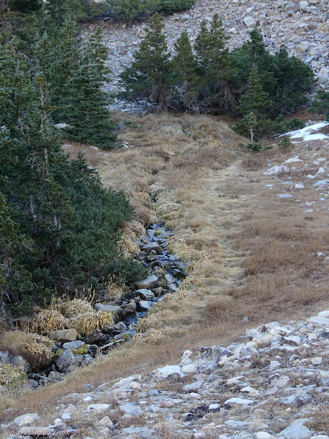
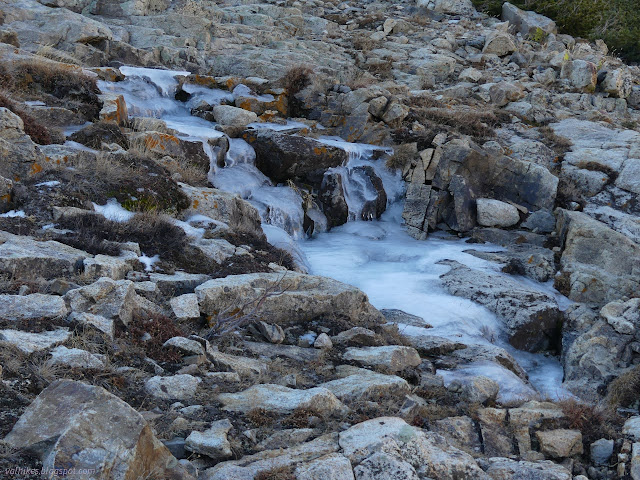
I was a little worried that the water might have frozen overnight, but it was still flowing fine.
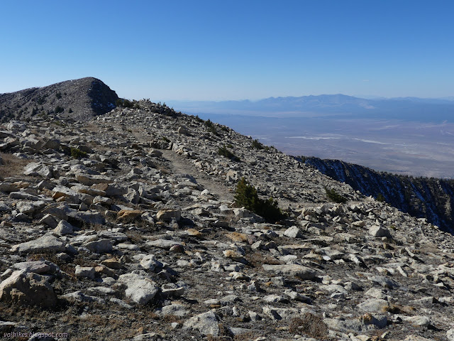
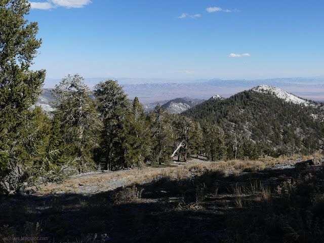
I arrived back at the large saddle at the bottom of Pyramid Peak, but this time with my attention turned to the ridge line continuing to the south along the unmaintained trail to Washington Peak. The folks on Peakbagger have labeled the first two peaks along Johnson and Quartzite. I set off, seeing little trail along the first part, but not expecting much since the better used trail going to Baker Lake is somewhat hard to follow in that area.
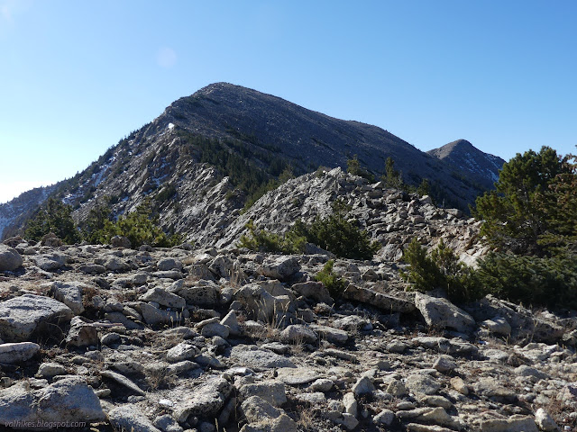
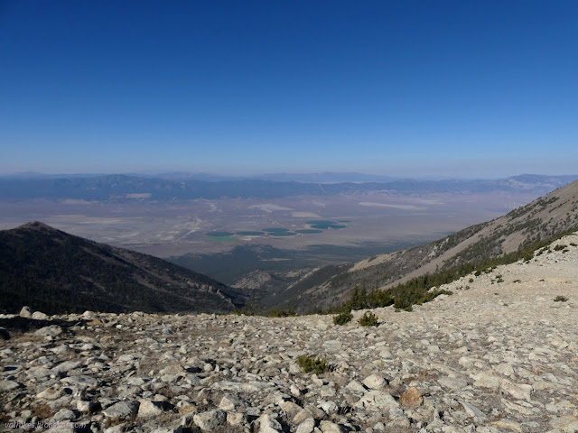
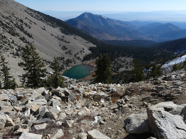
As I got to where trail should last a long time if it was ever built, I found pieces of use trail only. On the electronic map provided by the park (if you've got the signal for it) this is labeled "Highland Ridge Route". The brochure actually labels this "primitive trail", but there aren't even cairns to mark it. It took more energy than expected to get up to Johnson Peak. There's not much to route finding as very little other than the very top edge of the ridge is suitable for travel with a big pack and that sometimes has a couple trees on it making it difficult to pass.

It's a little better south of this peak. On the way down, I ran into some good trail. It clearly wasn't completely devoted to traveling this ridge. From where I met it, it takes a determined turn downward to the west.
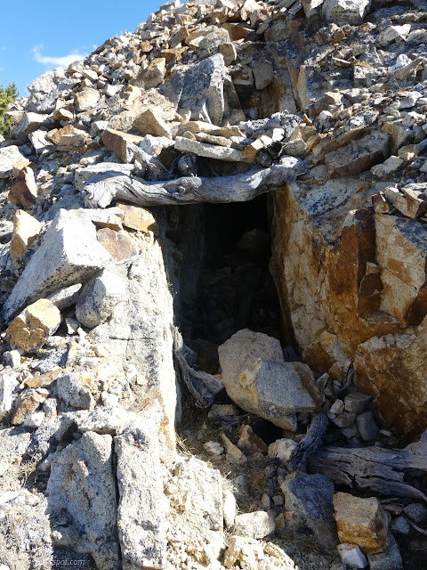
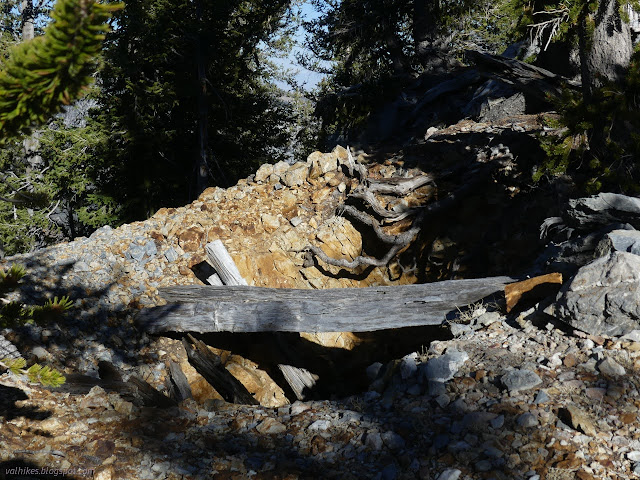
I got a great urge to see where it goes and entertained that. It doesn't go far. At the end, there's a big hole in the mountain where someone mined.
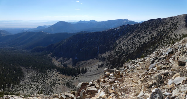
And so I followed that trail back up looking forward to having it for however long it would go. Turns out, that's not very long. After a short time on the ridge, it drops down to the east, not looking quite as well preserved. I wondered where that would go, but was sure it would go all the way to the trailhead eventually, if you are sharp enough of eye. I decided not to follow it. I wanted to wander through the ancient bristlecone pine grove more.
Off trail once more, I climbed up to Quartzite Peak on rocks sucking the energy from me.
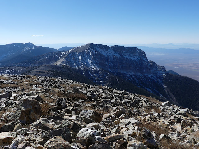
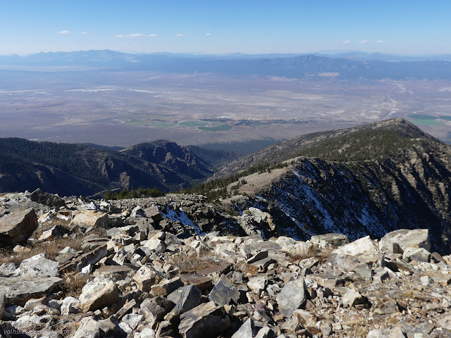
And then I headed down over rocks that eventually weren't so bad at all.

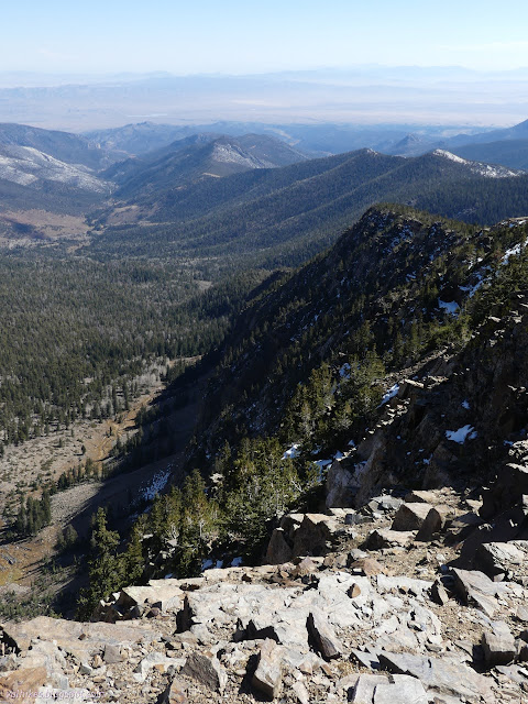

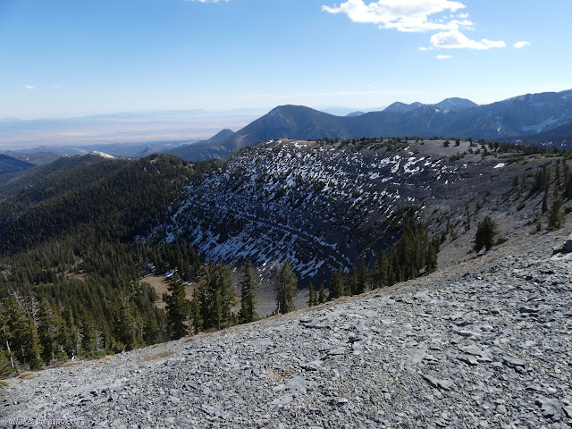
I wanted to tag Mount Washington on my way past. It isn't much more climb than Pyramid Peak was yesterday, but there's over 7 miles to go to the trailhead and it was already afternoon. With the short days, I didn't have the time. So close and I had to just leave it.

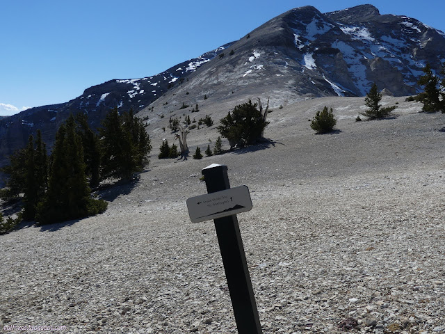
So I turned directly to the grove. Another sign says there's to be no campfires here and please stay on the trail. The trail is almost indistinguishable on the flat.
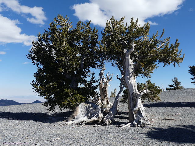
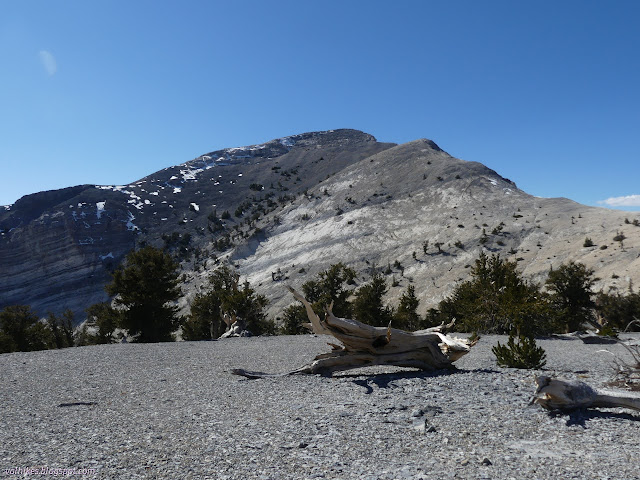
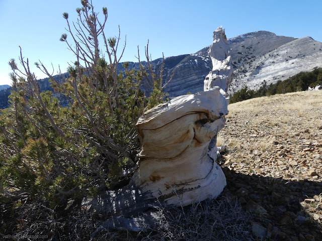
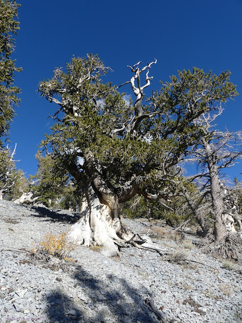
This grove does happen to have the tree that got on the park brochure. Apparently seeking out this particular tree is something people do. I'll put it down in the things I don't understand list. Overall, the grove is smaller than the one on Eagle Peak and I think that one may have been more interesting. The ones here are certainly taller while still being ancient.

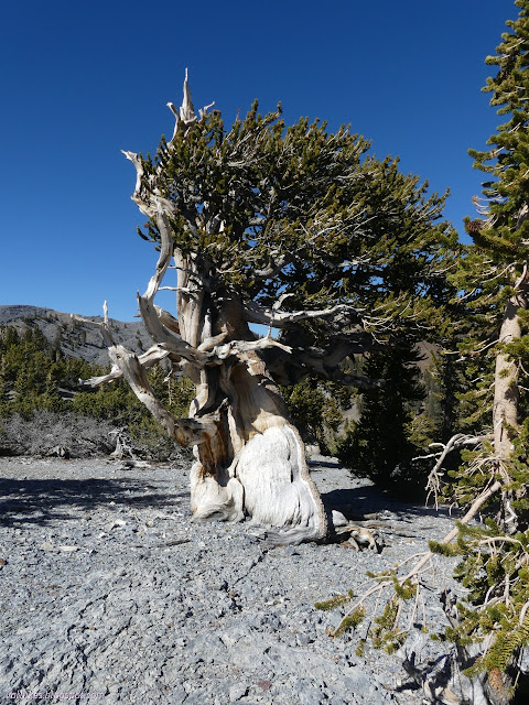
There's another sign against campfires for those coming the other direction. It is not the end of the bristlecones, or even of the ancient ones as far as I can tell. The trail gets a little easier to find as the slope under it increases.
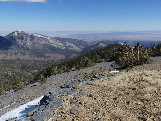

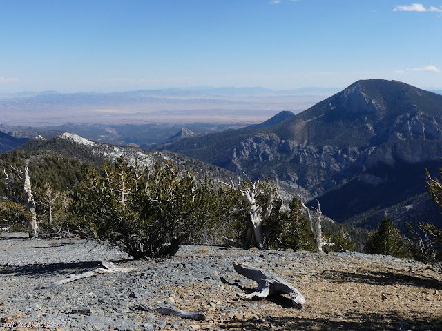
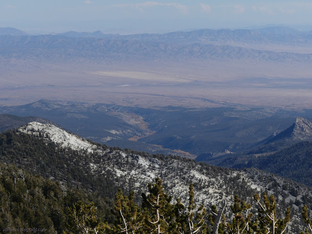
The trail became a bulldozer track and was much easier to follow for a while. It was clearly part of exploring for minerals once and there are numerous short trenches along it. Other old roads come up from the Big Wash side.
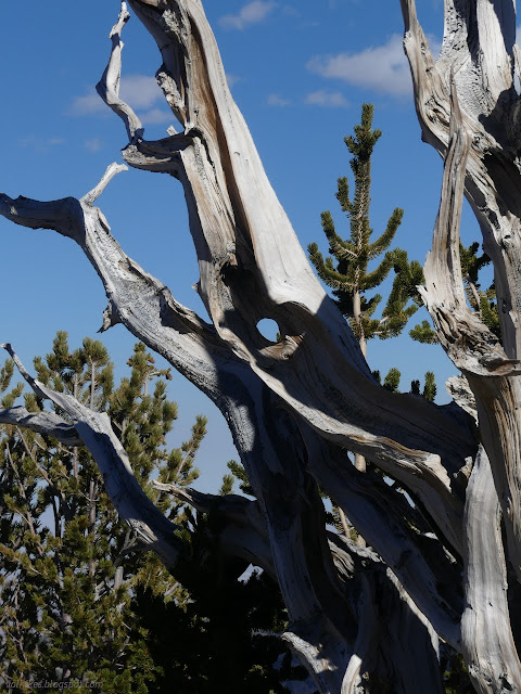
I found a spot where flags poked in the ground and ribbons in the trees seemed to desperately want me to follow a bit of trail that circled the ridge around to the south. This made no sense, but with four hints, I went ahead and tried it. Unfortunately, that trail dwindled to a game path then became nothing, only managing to give me a look at another regal tree.
Going back and following what trail meant wrapping around the ridge to the north where the trail became easier to follow rather than stopping.
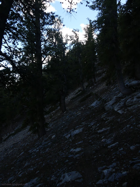
The trail travels along steep northern slopes bypassing those white peaks, but there is a well used climb that reaches some of that stark ridge line in short order. I added another trip along that track to get relief from the gloom.
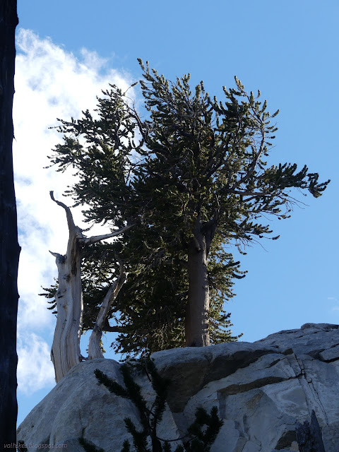
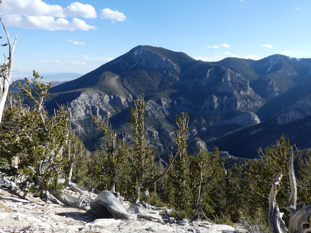
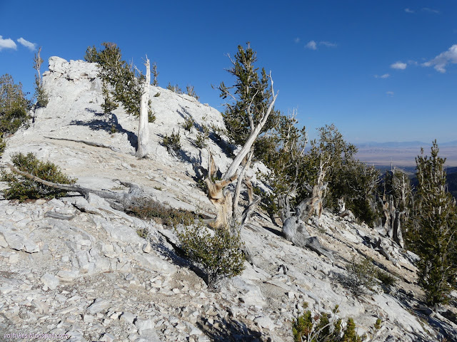
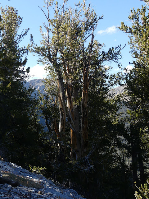
There are trees to see even if one does not take advantage of the short trail to the ridge. Or, from another point of view, there are trees to see along this trail even if one doesn't have the energy to climb the entire 7 miles (and back again) to get to the grove at the top.
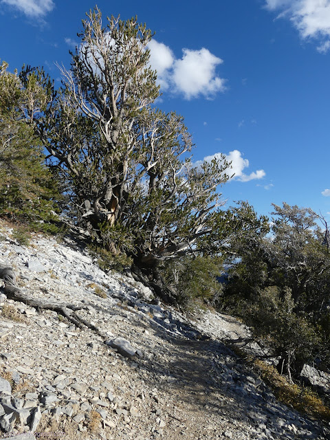
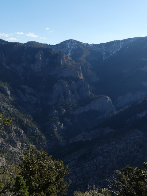
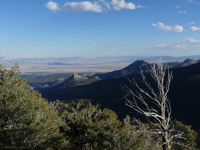
There is a second sign to say no campfires. As a stove user, I tend to gloss over those regulations when I get to the recommendation to have a stove for use in these places. There was something about no campfires above certain elevations. Meanwhile, the trail gets to feeling like an eternal downward struggle until reaching the junction with Shoshone Trail where it at least becomes a little less steep.
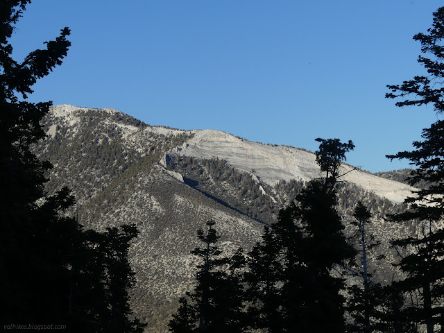
I took a spur out along the Shoshone Trail briefly. It has less presence online, but it seems to have quite a bit of use and is well established.
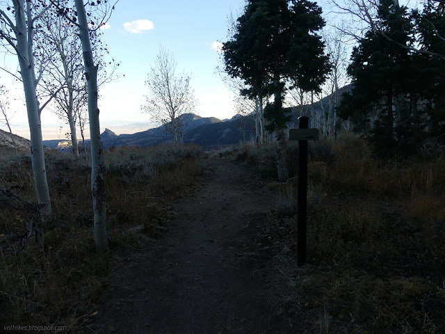
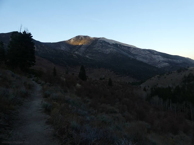
There's one last sign, but it is harder to be sure to see the trout it talks about than it was to see the ruins the others on the Johnson Lake Trail talked about. There is a remnant population of fish that swam the waters of Lake Bonneville all those 16,000 years ago here. That's the same lake I was exploring a little over a year ago and a hundred miles to the north. I finished the trail and headed for the Squirrel Springs Campsites. The Eagle Peak Campsites are way too cold for this time of year. These lower ones are much nicer.
*the photo album*
©2023 Valerie Norton
Written 22 Dec 2023
Liked this? Interesting? Click the three bars at the top left for the menu to read more or subscribe!


Comments