Highest Schells: North Schell Peak
Humboldt-Toiyabe National Forest
(red line, map link)
DAY 1 | DAY 2
I wanted to hike up trail and typical route to North Schell Peak, then along the ridge to South Schell Peak and return, a hike of some 16 miles. Since I seem to be making about 10 miles a day, my plan was to either get up really early for a big day hike or go for an overnight camping high on the ridge. After a brief errand in Ely, I arrived at Timber Creek Campground with some of the morning and all of the afternoon at my disposal. I was hoping to drive another mile or so to the campsites and trailhead at the end of the road where I could pack and plan at my leisure to start the following day. Perhaps I could. There was only one short patch of very rough road, a dense pack of tall stones sticking up all across it, that I wouldn't be able to avoid. Maybe they weren't too tall after all? A peak bagger says a Prius made it a couple years ago. I decided against trying. The campground, on the other hand, was closed due to construction. (It didn't mention that when I looked at the relevant web site the day before.) Overnight it would be. There was no parking not related to camping in the campground. I talked with a worker who said I would be out of the way in the last site. I pulled in and got to packing as quickly as I could. Since I wouldn't be seeing running water anywhere but the first and last mile, I could go luxurious for breakfast and cooked up some chocolate chip (and ginger and cinnamon and brown sugar) pancakes. And tucked in about 4L of water. Total of 26 pounds.
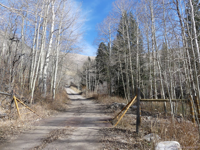
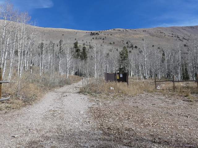
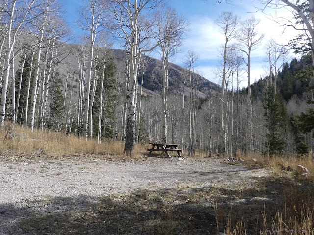
I was very conscious that I was putting a lot of faith in the existence of a camp on the likely inhospitable ridge, so the nice walk-in sites were tempting as I passed. I should have brought two days of meals if I was going to stop there. I turned onto the more obvious north going trail.
The trail is the continuation of the road, but it is in no shape for a vehicle. There are a couple obstacles to hiking as well, but one can expect a tree or two on a "minimally defined" trail. I had seen it is "managed for hiking 6/15-10/30" and "open to hiking" the rest of the year. What might the difference between these two states be?
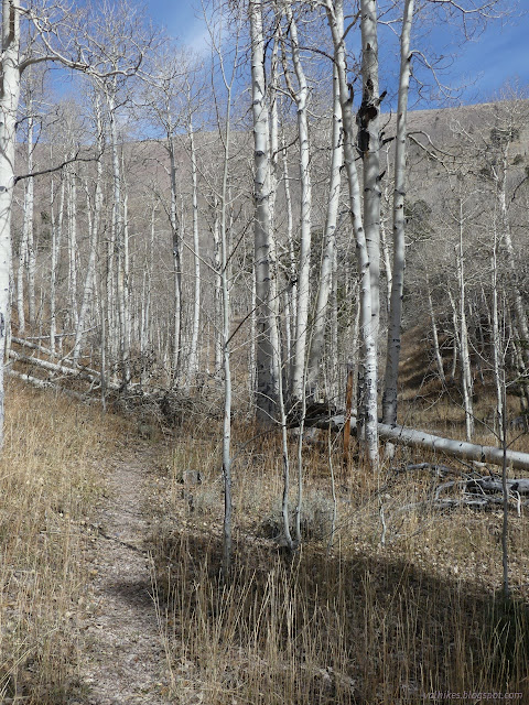
It's not much more than 3 miles from the trailhead via North Fork Timber Creek Trail to the wilderness high point on North Schell Peak. From there, people like to travel various amounts south and then come down into the South Fork of Timber Creek.

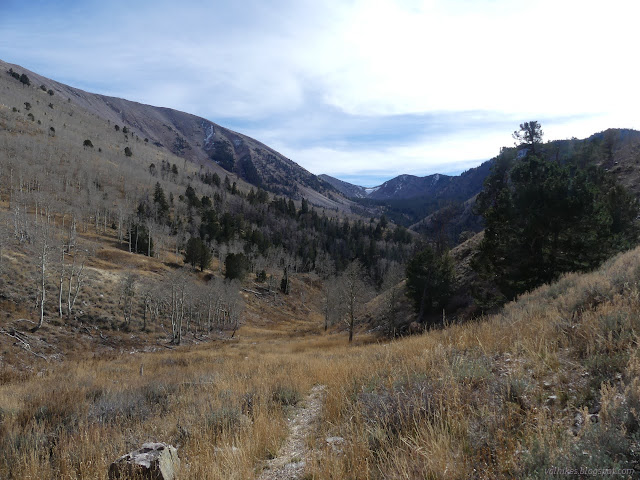
Seeing the snow at the far end of South Fork, I changed my plans a little. That's the slope people have come down, at least those who uploaded a track on Peakbagger. I decided the western wall looked better, so I would come down that. Maybe tag another peak too.
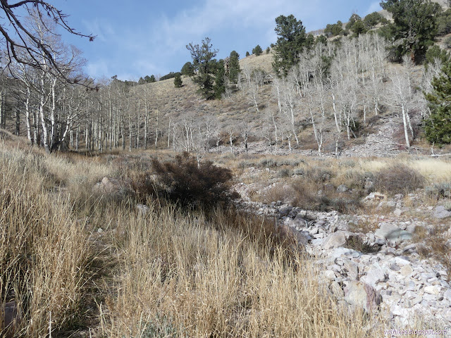
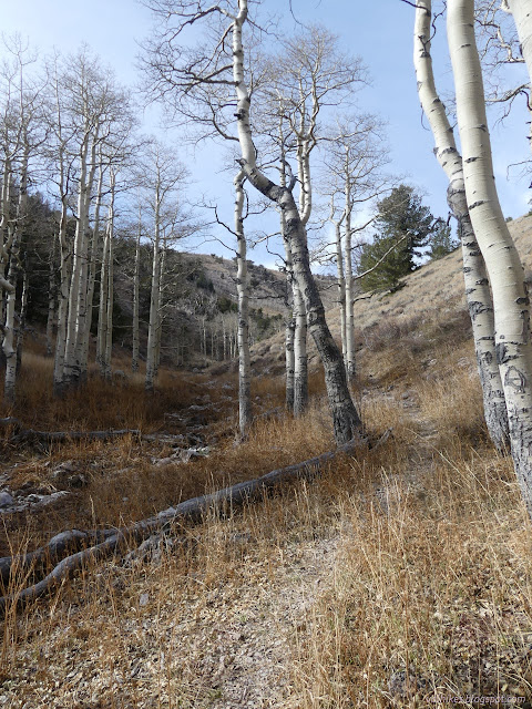
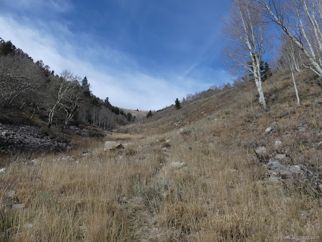
From the hints I could find, this may be the best used trail in the wilderness. It was pretty easy to follow most of the way along the creek. Then it looks like some people may start hiking it high and some low and it is less defined in the upper canyon.
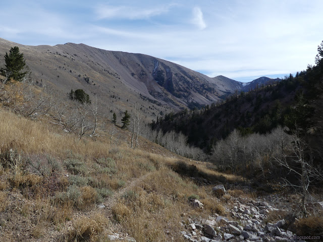
Near the top, I had a choice. I could follow the line on the Forest Service topo, which goes arrow straight exactly north to end at the saddle above in a way I don't believe was ever trail, or I could follow along the various peak bagger tracks and the OpenStreetMap line. The slope the peak baggers travel looks like a nicer climb, so I went for it. As I got higher, I noticed a third option. There's a long line of trail climbing the west side of the canyon. When the deer popped over the top right at the trail, I entertained the idea it is a game trail. They weren't following it, though. It takes such a long, slanted path, I would say odds are it's the real built trail.
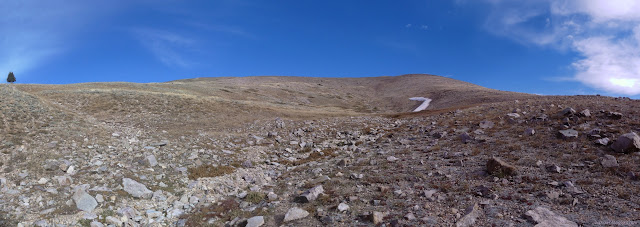

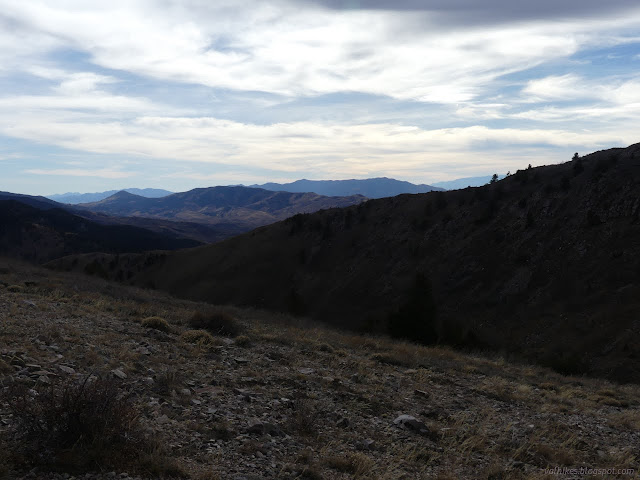

I was slowing for the off trail climb. It is the tiniest bit steeper plus I had to pay more attention to where my feet land.
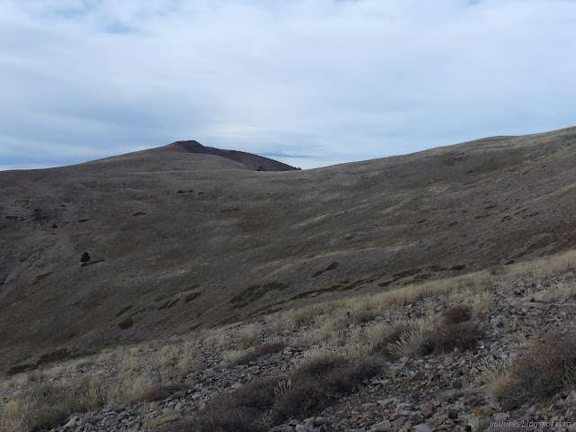
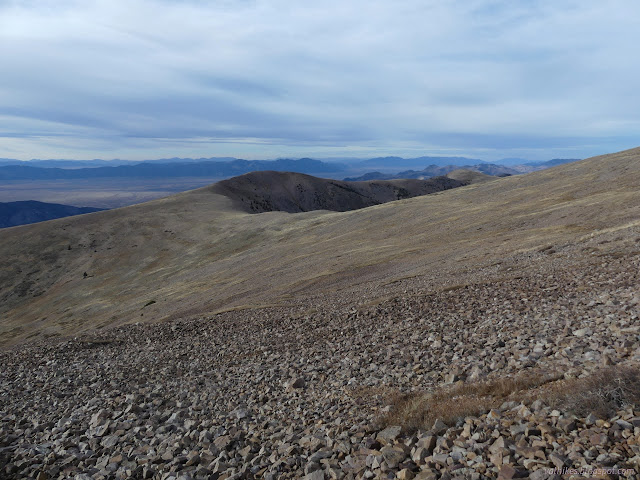
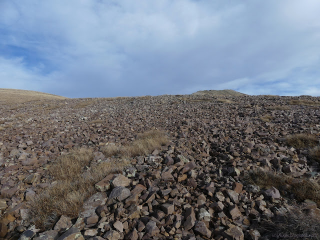
I gained the ridge and found bits of use trail there.
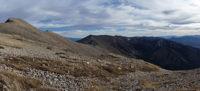
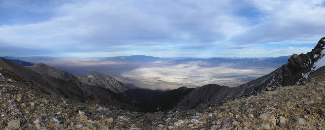
Travel was faster on the little bit of trail on the ridge and I followed it right to the top. Would you believe, there's no wind shelter there? I had my jacket on as soon as I got to the top to ward off the cold, blowing air.
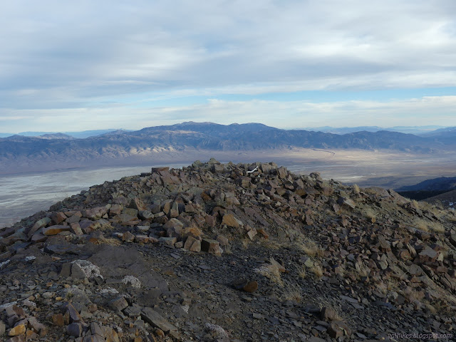


I didn't immediately see the reference marks to go with the station and it was too cold and windy to stop for long. No wind shelter meant I didn't really want to stop for the night on the peak, but I was trying to get 5-6 miles done to leave about 10 for the next day. It was far too early to stop.
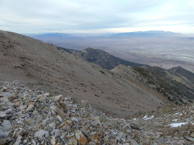
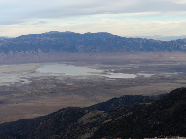
There's not much use trail down the south side of the peak, but some is developing in advantageous places. The ridge wasn't that hard to walk, but seemed to take more energy than expected.
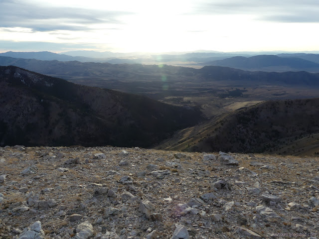
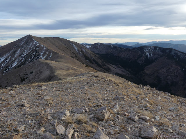
I found there wasn't so much wind when going down the mountain. Then I passed a small flat spot of darker rocks, then a second one. They looked suspiciously like they might have been dug out. Both were in particularly calm spots. As the sun was about to vanish, I decided to double back to the larger, lower spot and take it for my own. The wind was really bad and cold so a calm spot that special. Then I thought about my bivy for the second time. The first time was when I was making mental, and therefore useless, lists in the morning for what to pack. There would be no need for rain protection and it would be easier to place and have less crossection to the wind. I didn't think about it when grabbing things and stuffing them into my pack. (The only thing totally forgotten was my wilderness map and it has almost no information not on the Forest Service topos.)
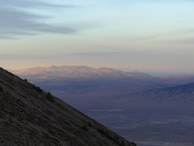

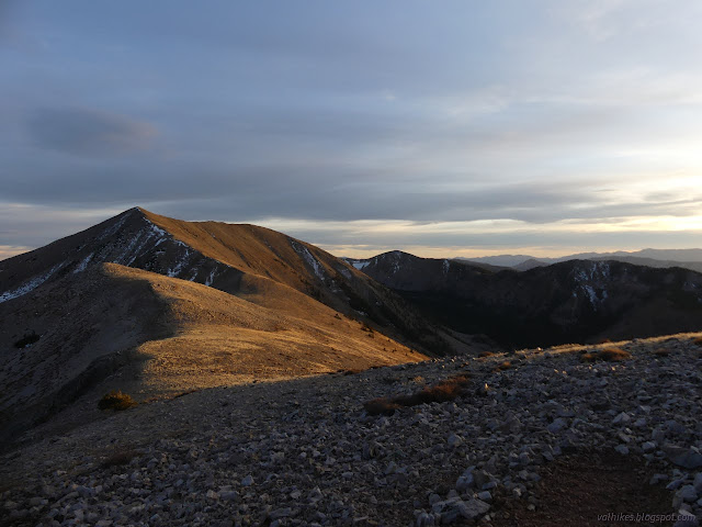
I found a nice flat rock to use in an even more certainly sheltered spot to cook my supper and tried to do just that. I kept being interrupted by the magnificent sunset.


I considered just cowboy camping. The M90 fabric of my winter quilt is excellent against wind. (At least compared to the cheaper and lighter Argon 67 of the summer quilt.) Still, I had the tent and the little space of even less wind would be nice. I put it up.

I got things eaten and cleaned and myself tucked in without any pieces of camp blowing away. The only thing left to fret about was how cold it might get so high up. And that I hadn't gotten as far as I wanted to get.
Same trip, next day ⇒
*the photo album*
©2023,2024 Valerie Norton
Written 4 Jan 2024
Liked this? Interesting? Click the three bars at the top left for the menu to read more or subscribe!


Comments