South Egan: Alternate Peak
Bristlecone Field Office BLM
(blue lines, map link)
DAY 1 | DAY 2 | DAY 3
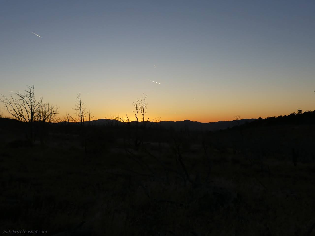
My rib didn't feel any worse after a sleep. Bashing it on my camera the day before left it feeling bruised, but no bruise seemed to be forming. The chocolate pancakes were still very good. I'd neglected to pocket some fluff from the mountain mahogany, but the fluff off a rabbit bush got the stoves flaming nicely for a little warm water. I was in a grand position to watch the colors on the clouds as the day brightened. It was a little moment of perfection.


Then I got packed up and moving upward and the perfection ebbed away quickly. The north side seemed a nice enough side to go up at first, but then things got steeper and steeper until I couldn't find a footing. But I could go up. Eventually I couldn't go up far enough. I had to go down. I had to cross. Just short of the bottom, I slipped on steep exposed rock and added some scrapes to my pains. All the while, I looked across and saw a nice flat sidewalk of a route that would have been an easy climb to a potential camp, then another easy up and across under some cliffs and to the saddle ahead.

That's my lens hood in the bottom of the picture. It got knocked around when I slipped and it's going to be there until I notice it. But at least I was on pretty good standing once I'd crossed that tributary to the right. I was quite happy to get to the saddle.

The saddle marked the end of much climbing for a while. After the nearly 800 feet climbed in less than a mile, it was nice. I had another drainage top to traverse to another saddle and then somewhat gentle climbing all the way to Schoolhouse Spring. I started to sidehill it, then declared that I shall learn from my mistakes and loose 200 feet for the easier footing. It made the travel so much easier and the day was looking up.

I spotted some hunters and gave a huge wave. They were in retrieval mode and too concerned with their buck to see my arms waving around. I shrugged and wandered on until there was a shout. Could I be on the lookout for other(s) that had not turned up yet? Send them this way? You probably won't see them. (Sure.) Also, how far is it to the road? And there was me thinking that hunters typically know their hunting ground well after scouting trips and the actual hunt and hiking in however they did for the haul out. I stopped on the next saddle to stash my heavy gear.

I didn't see the others as expected. I did manage to catch a raptor on camera, but not one of the small ones I kept seeing and missing.


The only hinderance to easy traveling up the valley were the occasional patch of prickles. Roses are everywhere. They were all below knee high but still annoying. (The ones in Ninemile Canyon went right overhead.) I found little streams of water. The water pops up and vanishes a little, so I couldn't quite just follow them to the spring. Still, it wasn't too hard to find. It was just hard to decide which was it. There's quite a few seeps in the area.


Having found Schoolhouse Spring, in good order if a little spread and icy, I turned my attention to the alternate high point. It's on up the far side of the deeply cut valley, so I rounded the edge to the saddle aiming at a nice looking ridge line.


I stopped for a snack at the edge and was slumping, as unfortunately happens, and coughed, as happens, and something popped in my ribs, as most definitely does not happen! There was pain, a lot of pain. And again, that was it. As the difference between returning with or without visiting the peak really wasn't much, I decided to keep on. Breathing is what ribs do and even a very deep breath caused no change in how things felt.


There's a little different character to this peak than the real high point. It gets rocky right at the top, drops off precipitously on the west, and has three potential peaks. The northern one is the one where the elevation is marked and I went for it first. It requires some scrambling and the easiest places for it are blocked by vegetation somewhat. I challenged the lesser vegetation for the second easiest way up, decided the middle one was likely higher, and challenged the nearly totally blocking vegetation for the easiest way down. I wanted the least potential to slide and keep sliding all the way down. The cliffs wrap around this peak leaving a loose rock bridge to get to it. Sliding looks like a very real danger.


I decided the middle peak was probably higher, so circled around away from the cliff to it. It requires no scrambling and no worries that a slide might go on forever. Or at least the rest of one's life. Still, I sat away from the edge. Some of it feels undercut or otherwise ready to break off.


I sent messages while I had signal and headed down a little more directly. Turns out there were a few things I could do to make the pain in my ribs twinge, but at this point I was headed out anyway. I ran into even more roses on my way to my gear.


It took me a couple tries to locate my gear in spite of the bright yellow, bright orange, bright green, and grey packaging. This is why we take waypoints. I got it and got it stuffed in quickly. All that was left for the day was to get back to the car. It would be dark when I finished, but I knew that when I got up. I would get to road long before that, so few worries. The two drainages around this saddle look like they get steep and rocky and possibly difficult to navigate. I had decided on a route around the edge of the pillar and down a very minor drainage. It became down the ridge on varying use animal trails. The hunters were gone, but part of their animal remained glistening in the sun.


There's more springs to find, or at least tubs perched high in the canyon are full of water and have green along wet paths below. I got down to the wash a little past the end of the road. It actually goes to an extensive system of pools below Stink Pot Spring, which didn't sound like a good one to me.


I started down the road. It dumps into the wash and is rather uncomfortable to walk, but all that water is frequented by cows. They gave me very nice parallel routes to walk that were flat and smooth and soft. I saw a few bits of old road while walking those paths, but one ended in a multi-foot drop and another started there. None of them were marked like that first one I walked instead of leaving the wash the day before. Some of them had fencing stretched across them.


The cow paths brought me to where I had backtracked to take the other wash. There were my footprints. I popped out at the metal markers that all the drivers ignore.

The cow paths ran out or maybe they just stopped following the road, so I had to walk in the wash briefly, then on the road. The road leaving the canyon is shown on USGS to climb extra high before doing that leaving. I would have just followed the wash through except that it is labeled "box canyon". That's not something I want to navigate in dying light. I might have gone cross country except there wasn't really enough light for that either. (I'd have found the other road that was incompletely shown on OpenStreetMap, not at all on USGS.) Up I went. It was a lot of up.


It as indeed very dark when I got back to the car. A cow had folded one mirror back, but that's all. When I got to blowing up my mat again, something started blowing air into my face. A little light showed several holes where some critter had chomped down on it while it was stashed. This trip was definitely hard on myself and my gear in unanticipated ways. I got the last of the Superpatches slapped on it so I could get some sleep.
*the photo album*
©2023,2024 Valerie Norton
Written 9 Jan 2024
Liked this? Interesting? Click the three bars at the top left for the menu to read more or subscribe!


Comments