Ward Mountain Loop G+L
Humboldt-Toiyabe National Forest
(map link)
The Ward Mountain Recreation Area has a collection of loop trails generally aimed at mountain biking. There are two trailheads. The main/south one, Ward Mountain, is at the far end of the Ward Mountain Campground (Forest Service). The campground is $12 a night, but day use is free. There's water, but it is turned off on September 30 even though the faucets are winterized. On the other side of the highway is Ward Mountain North (Bureau of Land Management). Day use and camping are free, but there's not any place set aside for that camping. Both trailheads have bathrooms, the north has disc golf! These trails connect with the Ice Plant Trails which have trailheads on the southeast side of town. Loops at the main trailhead are clinically marked with a letter designating the area they go around, which does complicate signage a bit. Ice Plant seems to have trails named in cutsie ways evoking the general feel of riding them, as seems to be the mountain biker fashion these days. I chose to go around Loop G and L, which makes a fairly long loop climbing a little way up the mountain. The mountain itself is far to the south. You'd think that being called "Ward Mountain", there would be something that goes for the peak. Nope. Disappointing. One star! Actually, it's pretty good for mountain bike trails generally derived from old roads. But it won't get you onto the mountain top.
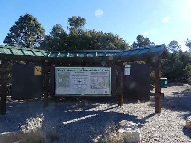
There's a junction immediately and we get a whole list of loops we might be going for. Upper G, H, K, L, and a warming hut to the right, Lower G and J to the left. Below that is an introduction to winter trail ethics, but there's no snow on the ground at this level yet. I went left, aiming at the lower portion of the G loop. The upper would shorten this full loop a bit. The trail passes sagebrush and pinon and juniper with peeping views in all directions.
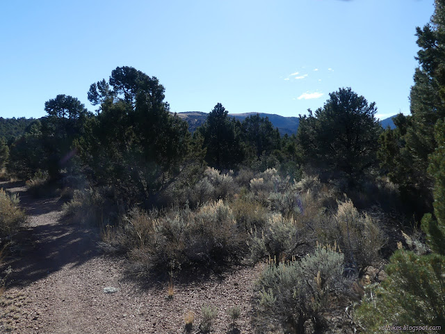
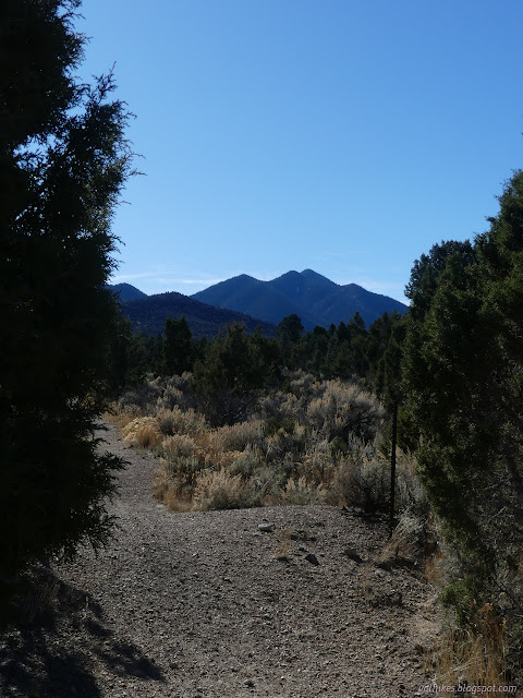
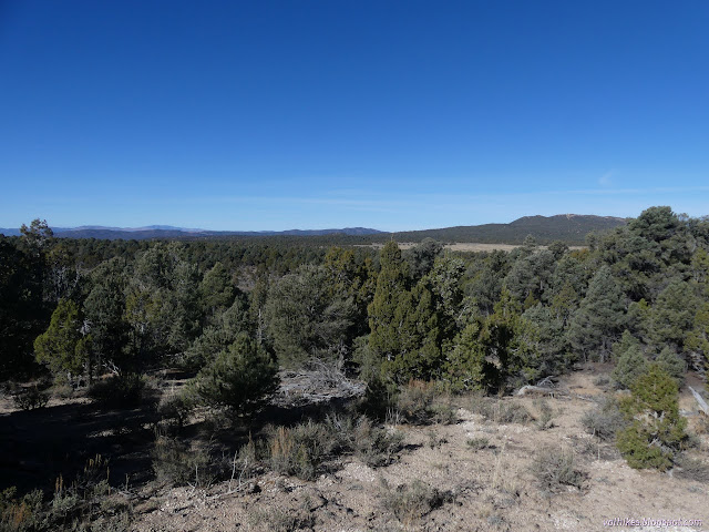
This "lower" trail breaks out into the lowlands where there's only sagebrush and no trees, so longer views even though it is lower.
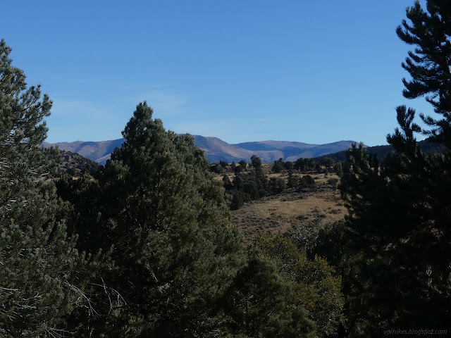
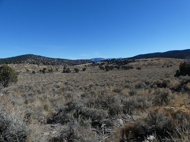
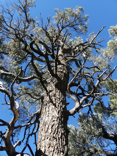
It never gets very low compared to the start and gets to climbing in an easy manner after. In and out of the trees.

I decided I would do a quick wander off the trail to see the spring marked on the map. Riepe Spring is real, so there's plenty of cow paths to follow to it.
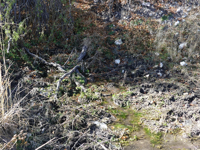
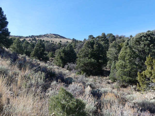
I returned roughly the way I went and resumed the way around. The trail eventually meets road and the signs only point back and up as trail, so I followed it that way to the next intersection although things seemed slightly off.
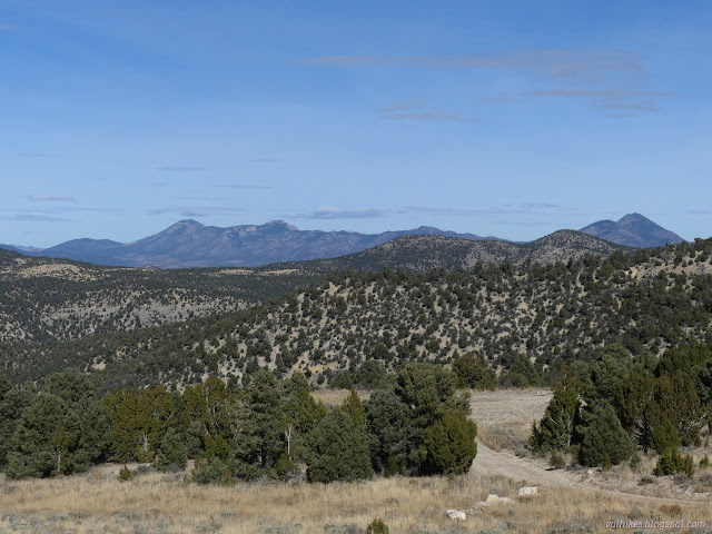
I had been mildly interested in following an old service road for the long gone ski lifts to its top for the view, but then discarded it. The next intersection was at that road. It's a new trail that wasn't on the sign at the trailhead, so has a less clinical label: Rope Tow. I could only guess that it follows the old road although this was quite at odds with being labeled "easiest". Turns out, this is short for "Rope Tow Flow" and I would see the other end because it offers a nice, non-road segment where one otherwise follows road. Not having it on any map, I didn't know that and hiked back down to take the road.
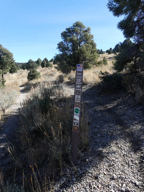
The road gets rougher where the trail meets the road. This was the bottom of the ski hill and presumably the good road was meant to serve that. Now it's a dispersed camping area and I'd seen a probable hunting camp lower down.
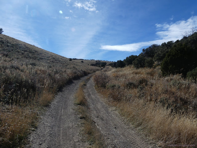
So I found the other end of the trail labeled "Rope Tow" and across from it another new trail. This one seems to be a replacement for the Ice Plant Connector. That one is an ATV trail with a smashed pair of posts trying to keep the entitled drivers of pickups off it.
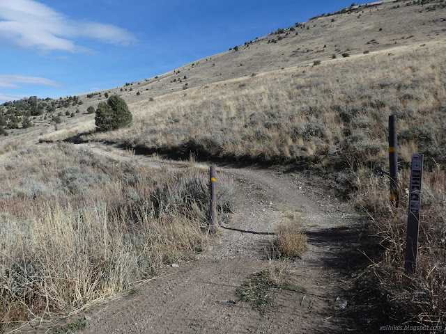
Anyway, the bicycles like having multiple routes even if they're nearby. I like multiple routes that are distinctly different, so continued up to a saddle above.
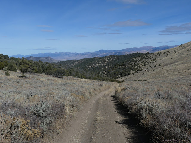
There's a warming hut at the saddle. I don't see many, so went to have a look at what exactly it was.

Following the track around it, I found an old track, unused by everyone, going up the minor peak. I decided to use it. There's a few trees down across it and it gets faint in places plus it's quite a long way across the top to the high point, but the view was an excellent reward.
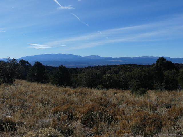
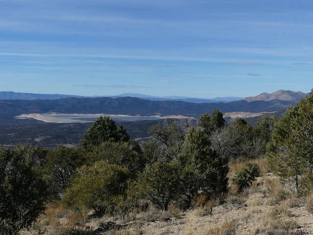
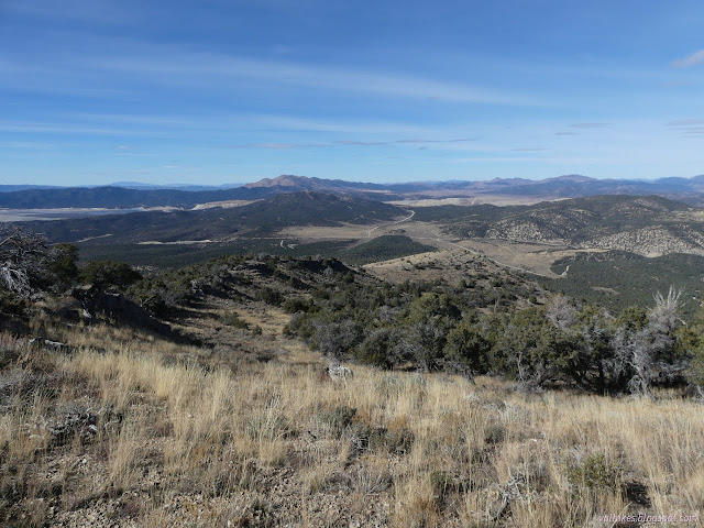
I headed back down and continued my loop. I'd expected views from these higher trails, but there wasn't quite so much as hoped. It was very one directional on the way up and even more constricted on the way down.
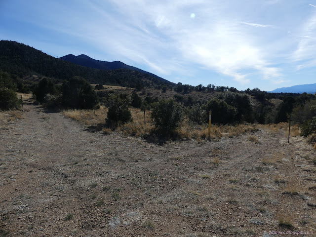
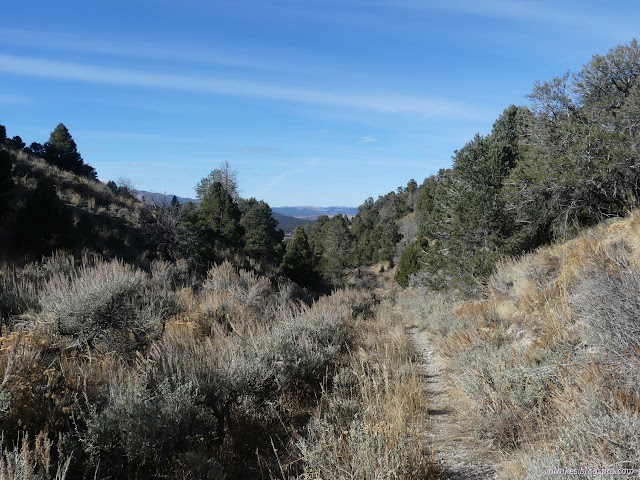

Trail actually climbs out of the canyon to more view at the bottom.
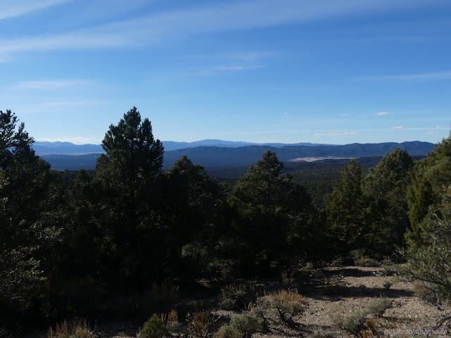

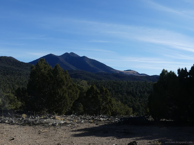
I got "treated" to some random music from a mountain biker who was the only other user I found on the trail on this Friday. They clearly get a lot of use, though. There's little challenge in deciding which way one is supposed to go except where there are extra trails.
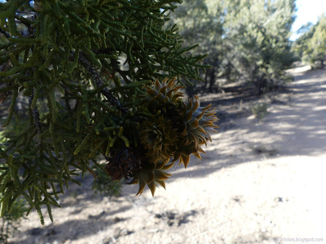
Then I headed back to camp. I had chosen a spot about a mile north of the north trailhead. It was a pretty early day.


*photo album*
©2023,2024 Valerie Norton
Written 6 Jan 2024
Liked this? Interesting? Click the three bars at the top left for the menu to read more or subscribe!


Comments
Location: Ward Mountain Recreation Area in the Humboldt-Toiyabe National Forest near Ely, Nevada.
Description: Trails generally follow decommissioned roads with some single track and some overlap with existing roads. Intersections are usually signed for mountain biking difficulty from "easiest" to "most difficult", but some have incomplete signage.
Distance, gain: 8.5 mi, 1470 ft (7 mi, 1150 ft without off-trail spurs)
Trail state: wide and clear, well used
What's special: Long views west through north to northeast including the wastewater dump of the local massive copper mine. Communing with the pinon. The fragrance of sagebrush when one steps off trail. (It was very fragrant on the way to the spring.)
Something slightly more detailed than my tags to help decide if they want to go. Well, I do get a few emails appreciative of the blow-by-blow summary, too.