Indian Garden Mountain
Humboldt-Toiyabe National Forest
Click for map.
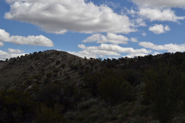
After Bald Mountain, I still had half a day to play before getting down to camping for the night. I decided to go up Indian Garden Mountain, which also shows a little triangle at the top on the map. Benchmark! Although I could just start from camp again, I decided to drive up a few miles to a saddle. I had come up this way a little the day before, so knew the road got a bit rough before the intersection and they always seem to be rougher after an intersection when turning away from the highway. There was nothing too much worse this time and I even found a beautiful parking spot right next to an unexpected road heading up the mountain at the saddle.
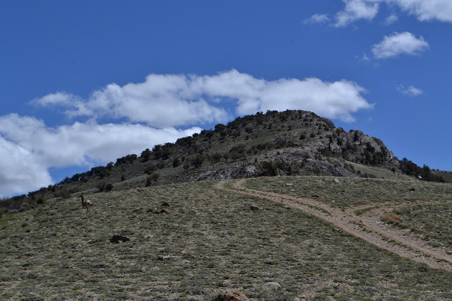

I start up the road, which seems to split and combine. I have chosen to try the east side where the side of the ridge is not so steep. The west seems to have some very steep spots that I would prefer to avoid. The road hits a wall of low sage brush and quits, but plenty of animal trails continue. Picking one and moving along and upward avoiding the rocky center is rather easy. Mountain mahogany and twisted junipers are soon mixed in, but are well spaced (rather like a garden) and do not complicate the route.
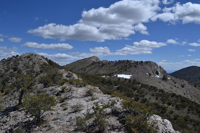
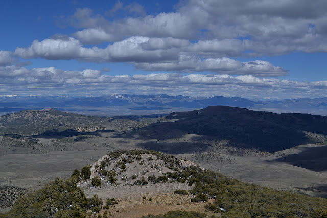
It feels like long looping to get around the edge of the ridge, so I tend to climb and wonder if maybe I should just go along the top. After the first bump, they are no longer rocky climbs, just a bit of extra up. I pass another before finally actually getting up to the edge of the ridge.
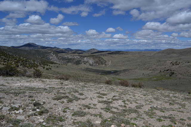
The wind is back and cold, so I retreat again to walking below it around a bump, then climb again to the ridge line. The line is not really much of a line. The peak itself is offset to the west beside a much smaller peak ahead. There seems to be a good trail in the saddle below and if I retreat ever so slightly, there is a used trail down to it along that steep western edge of the ridge. There is a road across a shoulder a bit further down as well as the one I expect to see down in the bottom of the valley.

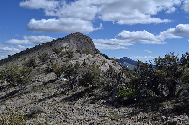
I make my way carefully down the thin track. It really is a bit steeper and less stable than desirable, but not all that far down. It was a good call to not want to be on this, I figure as I slowly make my way down. From the saddle, there is no trail going my way, so I am back to climbing somewhat on the ridge and somewhat behind it as the way feels best.
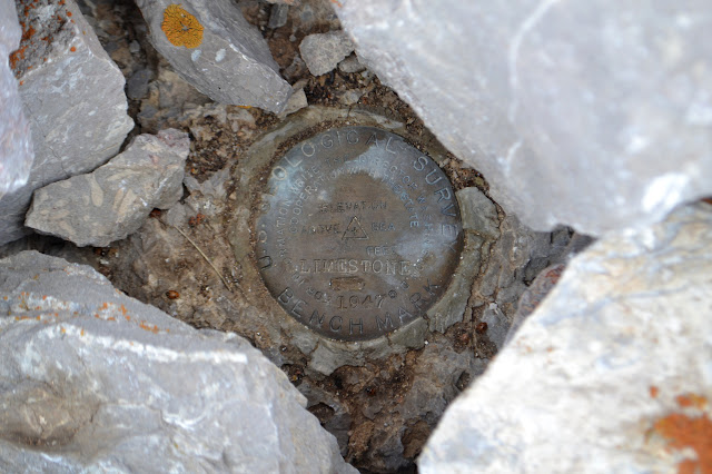
There is a plastic tube fallen down from a very minor peak just north of the actual peak. There are two more down the hill of the real peak. The benchmark is surrounded by rocks and buried under some smaller ones down the middle. I dig them out and there is the disk below. Surveyors have been here and left the tubes on the benchmark and other spots, surrounding them with rocks and then dropping smaller ones down the middle right onto the monument to help stabilize their plastic. It certainly did not last long. And old wooden piece used for the same purpose still sits on the peak, too.
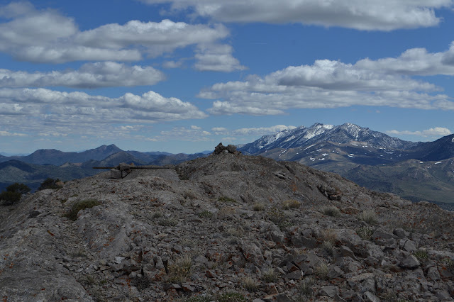
Locating the reference marks is easy on this one. They are pretty much in the other places that make sense, at least to me, on this narrow and rocky ridge.
The wind is not so bad at the peak, but it is getting chilly again for stopping. It does not matter much as I am prepared for much more that this.


I spotted a robust post below the peak as I came up and was going to check it out on the way back. Going the more direct way down the side of the peak is rather steep, but fairly solid even as it becomes separate rocks. The post is disappointing. It is just another marker for yet another claim although it is only the nearby posts that say so. One even has the slip of paper to say who is making the claim although the clear film container meant to hold it is long since made brittle by ultraviolet light and broken. All the ink has been washed off, but the year 2011 is printed.

Walking back to the saddle, there is the trail again. I might as well try it. It seems well established as I follow it along the western side of the mountain. A spur drops down to the end of a road, but there is more trail and I keep to it. The road drops and gains again at the next saddle while the trail maintains a very easy and level route.
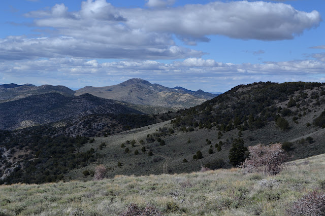
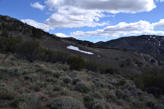
As the road comes up again, the trail drops to join it. Following it a little way, it rises, but there is again trail that skips the extra elevation change. The last drop is hard to find trail along even though I can see it as it leaves the base of some rocks and joins the road again. I make my own cut across, feeling lazy in a distinctly work inducing way.

The road joins up with the other I started out on, splits and joins again. With the trail, it certainly is an easier and faster route up to the peak.
©2017 Valerie Norton
Posted 10 Jun 2017
Liked this? Interesting? Click the three bars at the top left for the menu to read more or subscribe!


Comments