Looks like it took going to Nevada to sketch this month. All of them are from my travels there.
Vertical rocks crop out of smooth hills at the side of one of the huge, flat basins.
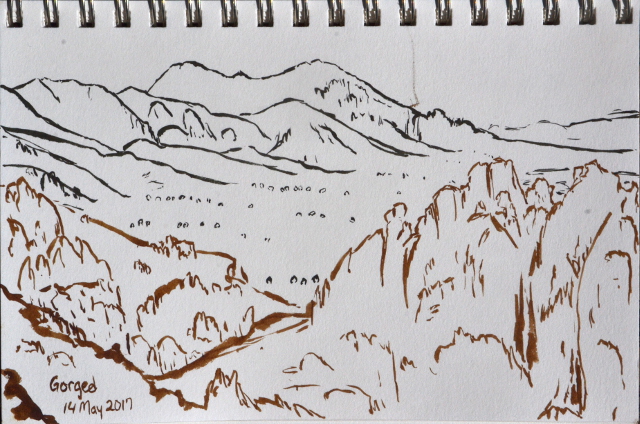
Cliffs of weathered rocks attract my attention near the petroglyphs.
As the snow lessens, the remaining two walls of a creek house are too much to pass up.
It is always a good time to pause and draw at the top of a pass.
Little caves in weathered rocks seem worth a moment.
Get link
Facebook
X
Pinterest
Email
Other Apps
Liked this? Interesting? Click the three bars at the top left for the menu to read more or subscribe!
Uncompahgre National Forest (map link) The Forest Service seems to be uncertain if it is Lake Hope or Hope Lake, but more certain that it is the Hope Lake Trail. It consistently marks the road up to the trailhead as a 4x4 road, so I parked in a turnout at the bottom and started up, getting increasingly grumpy about how it is a rather good road with a loose rock here or there. I chatted with some campers about how it was probably great all the way up, but they'd gotten to their rather brilliantly picturesque site and been sufficiently mesmerized by it not to continue on. Talking with them got me sufficiently emboldened to actually stick out my thumb at the truck that came by as I finished the chat. When you're going 5 MPH anyway, it's easy to stop, and he did. Greg was going for the hike too and actually wouldn't mind having a buddy. The road promptly turned to something it wouldn't be wise to try the Scion on. With good judgement, I probably could make it, but...
Humboldt-Toiyabe National Forest ( map link ) I had a big day planned and got up in the early cold. That first dim, dawn light played in a band across the western peaks of Lamoille Canyon. The edge of it diffused downward into the rest of the canyon and then the band was repeated, this time with the first light of sunrise. It took a lot longer for the edge of this light to travel down into the bottom of the canyon and I was long on the trail by the time it did. Trailhead at the end of the road. Detailed signs about possible destinations are a short way down the trail on the left. Looking behind to a long canyon of shadow A pleading to stay on the trail in this fragile environment There are two trails to choose from for going up. The hiker trail travels the east side of the canyon, so would be cold longer, but would look across to the lit part of the canyon, which I hoped would make for better photographs. The stock trail climbs the other side and I could see it sitting...
Apache National Forest Click for map. What struck my fancy to hike while at Quemado Lake was Escondido Mountain, although I'm not sure how one can get away with calling a 1800 foot prominence peak "hidden" is beyond me. It has no trails up it, so I have to determine my own route. Escondido Trail caught my eye first, but it really doesn't go high up the mountain and it doesn't do it on one of the steeper slopes. The road it starts from looks like a better bet, follow it up as far as it goes then grab the ridge tot the right. The easiest way up, though, looks like a 4WD road that starts further south on the (should be) Scion friendly Baca Road #13D. This one climbs high up to a saddle west of the peak leaving less than a mile of ridge walking to the top. Although it means a couple miles road walking on something I can drive, I think I'll combine the two into a loop. I just have to find parking near the intersection of 13D and 4018J, which is pretty eas...
Klamath National Forest (Map link.) It has been a couple years since I actually did some trail work besides kicking the odd log and a lot of sticks off the path. There have been some excursions by the Siskiyou Mountain Club that got far enough south to tempt me, but none had worked out thus far. I noticed they would be working out of Clear Creek for five days and that sounded long enough to make it worth the drive. Is it odd that these California trails are getting a lot of maintenance by people from Oregon? Yep. I also notice that the folks driving out of Ashland are actually a couple miles closer to the trail than I am. I'm coming from another county too. Judging by the license plates on the way, it looks like more people from Oregon are using these areas too. In fact, you can find it covered in guide books for southern Oregon. Thursday The lower (last) parking area at No Mans Trailhead with the traditional burn area hazards signs marking the trailhead itself. The wo...


Comments