Hickison Horse and Hiking Trails
Hickison Petroglyphs Recreation Area (BLM)
Click for map.
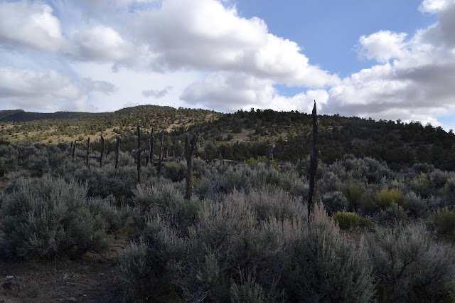
Following the mysterious trail north past the lone rock covered in petroglyphs is easy, but it goes on for a surprising length. It passes a hitching post for horses and keeps on going. It is so well established, it must go somewhere good. Maybe there are more petroglyphs to see.


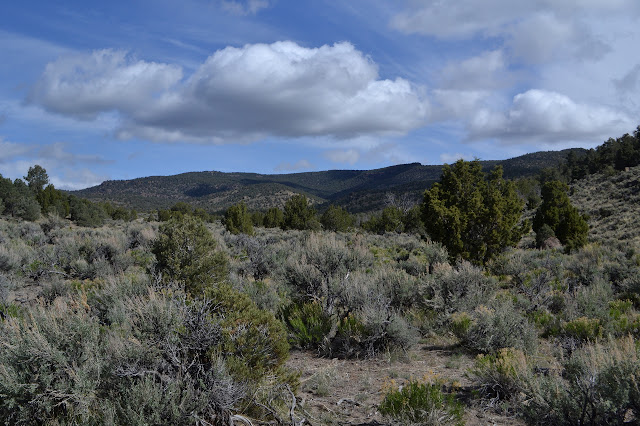
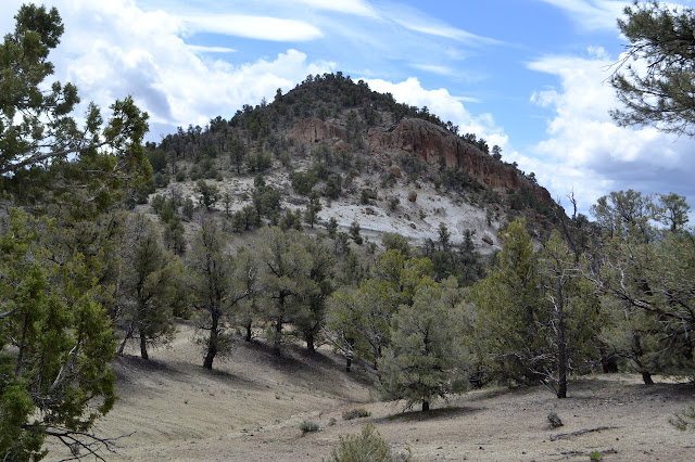
The trail takes me to a gate and then a second parking area marked with more trails. A map shows three loops built on top of each other for varying experiences and distances. An much better map of the same thing is tucked into the brochure box. There are some nice rocks out there to go past and I have plenty of resources tucked away on my back so I go for it. They all start with a little bit of trail to get out to the loops. There is quickly a junction, although it is hard to see, and a sign pointing left along the more obvious trail, then it drops down a bit into the valley.


As the trail passes one hole in the rocks, I go to investigate it. Someone has actually cut branches away recently, leaving them below, to make access a little easier. However, there does not seem to be anything except the cliffs themselves to see. So I return to the trail and continue to wind out along the flat valley.


The path splits a few times with neither side looking more likely to be the true trail. This is clearly range land and cows have wandered through it setting down their own trails. I seem to be going more north than the map indicates I should. Prints are almost entirely from cows and those of shoes do not seem to know any better than me.
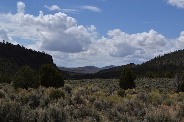
I give up on the trails since cross country is not so hard. The map shows a couple closing corners, so I settle on the challenge of finding those instead.
The one that is logically first to look for is not in a place with much landscape to help narrow down where to look. I wander what seems like a bit too far, and circle around to try to see it, but there is nothing there. The second is a little way off a road that will make an easy route back, so I go for it. It is near the bottom of a drainage near the road so the area can be narrowed down quite well. I follow the drainage up a little way, then decide it will be better to look from the road. As I get a bit further than I should need to, I circle down into the drainage again and follow it down. There it is. Just about forty feet further up than where I turned around.

This find gives me another reference that can make it easier to find the other. I dither about being silly enough to go looking for the other again or just get back to traveling to my next planned stop. It is nearly a half mile in the wrong direction, but I go for it. It may be arbitrary, but it is a sort of treasure hunt.

I am on a slightly different line than I was searching before and by the time I am close enough to the hillside ahead, I am in a rather different area. Keeping to the measure of latitude, I get a little further from the first corner than I think I should. Since they are closing corners, one to the north and one to the south, the distance between them is uncertain. I am wondering if I should be a little north or south based on this one being west of the other in the eastern ranges and thinking I still will not find it when one last turn around looking everywhere shows something.


My little "treasures" found, I head back to the road to return. The map shows a cutoff trail from the road that will take me back to the original trail near the parking. Well, there is another section corner I could go find off to the east about a mile. It looks like the view over there might be quite nice. I manage to resist the urge to find a third.

The trail back is easy to find and follow. It joins by the sign that was pointing off to the left, but it is only at the junction itself that the trail vanishes.
Once back at the trailhead lot, I have to wind my way around one last hill to the car in the main lot.
©2017 Valerie Norton
Posted 28 May 2017
Liked this? Interesting? Click the three bars at the top left for the menu to read more or subscribe!


Comments