Crystal Wash Petroglyphs
Caliente Field Office BLM
(map link)
I picked up three brochures for petroglyph sites at the Caliente Field Office including the one for Crystal Wash. Between the rough location of #98 Crystal Wash Petroglyphs on the Ely District Recreation Opportunity Guide (on the wrong side of the highway) and the description in the brochure, which referred to mile markers that have almost entirely vanished from the highway, I guessed my starting location was a little further down an unnamed road than geocache GC14GG1: I'd Go a Mile for a Smile-Elephant Poop. It is another one saying you could take your mamma's Jetta down the road, and this road is smooth. The sagebrush down the middle still provided some very audible bumping and the faint wash near the start could get worse over time. Still, I got to the end and found a small dirt parking area and a register. (Infrastructure! Confirmation of correct location!) The register seemed to think one could expect to find brochures in the box with it, but there were none when I got there. (There was one when I left. While Ely District seems bad about getting these brochures or site information online, you can download it here from the Nevada Rock Art Foundation, the agency that actually produced it, at least if your signal doesn't say "emergency only" like mine did. There is some site information too. They also have electronic versions of an introduction to anthropology in the Great Basin and their big book of rock art in Lincoln County, Nevada.)
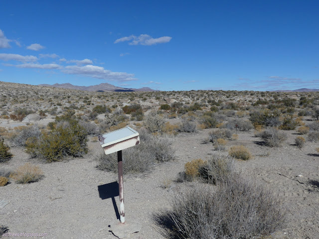
So I got to puzzling out the information on the brochure. The first stop isn't so hard to find. It's very close to the register along a faint trail to where a lone rock sits in this vast plain.
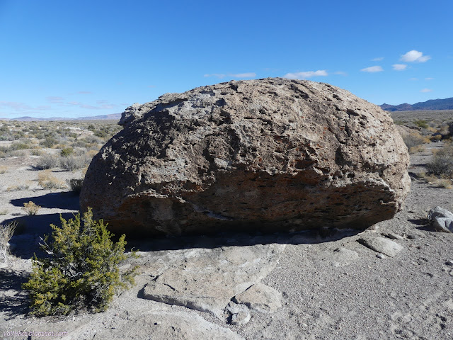

No wonder I didn't see any the day before. Those are rough and hard to spot from more than about 20 feet off. From the first stop, the trail goes into the wash past an antiquities notification. It follows this downstream. I could not really see any trail, but there were footprints. Anyway, one does not need trail to follow a wash.


The second stop is a short way to the left of the wash. There are arrow markers in the wash to point the way out of it sometimes. There are a few stacked cairns high on rocks. I found enough clues to arrive at the second and third markers, but there's not really a trail.
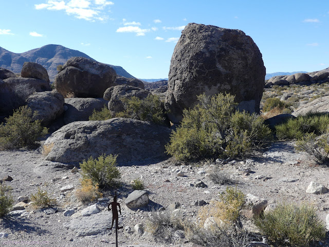
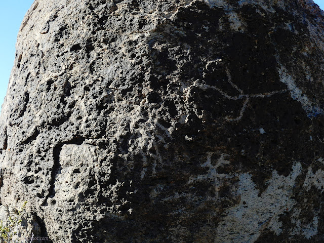
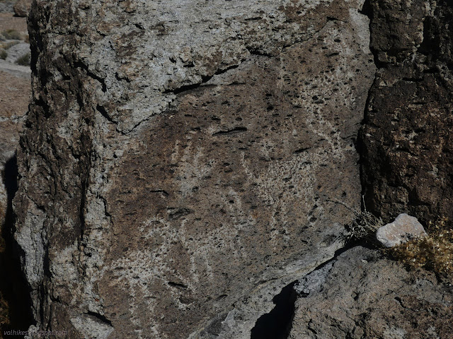
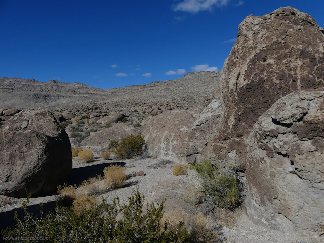
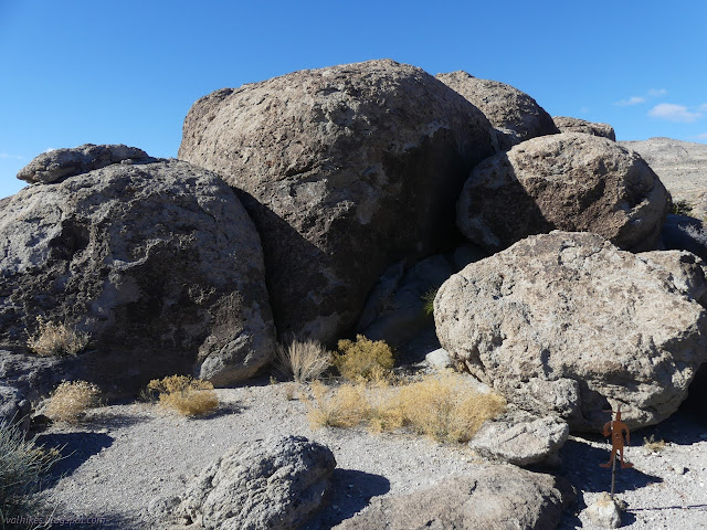
One must take care looking around the site. Petroglyphs could be and milling stones certainly are in places where feet might land. Bumping rocks and particularly poking at them with fingers could hasten weathering. The areas aren't marked very specifically and more exists than is marked. I looked and did not touch a while and returned to the wash to try to spot the next area.

I followed the markers. They are up on the rocks near the last of the graveled plain as the wash proceeds downhill.
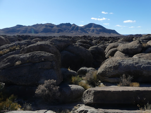
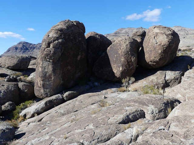
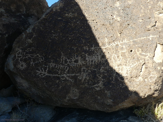
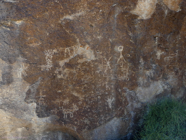
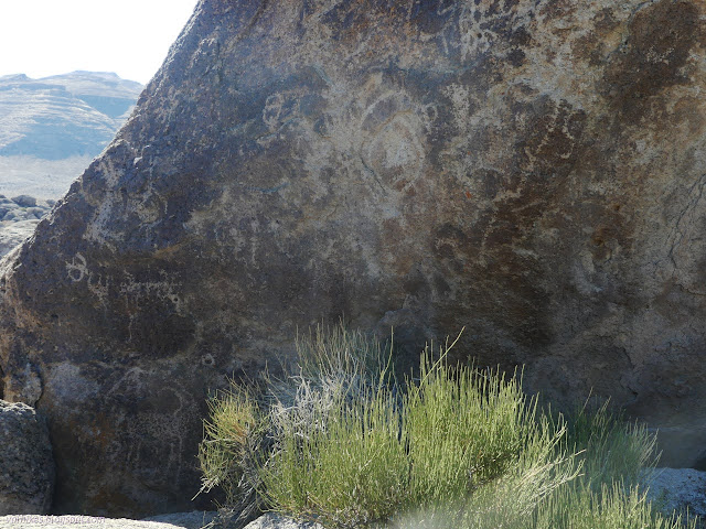
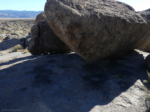
The brochure states that markers 6 and 7 are the "most likely places where traditional dwellings or wickiups were erected". It also says that bands would separate into smaller groups of a family or two for summer food gathering and then come together into larger gatherings for winter. There would likely have been more than just a couple dwellings since this was a wintering area.
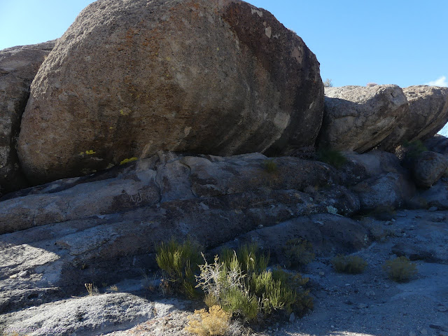
Finding my way from marker 6 to marker 7 would prove difficult. The rough dotted line drawn on a satellite picture didn't seem to help at all for finding landmarks to judge by. The only landmarks were the main wash and markers to try to understand exactly what the scale bar means.
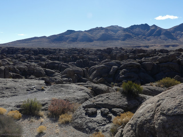
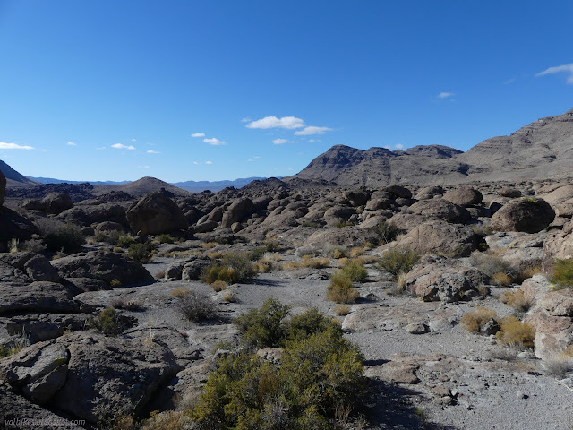
I decided I had gone too far and eventually found my way to a number 9.

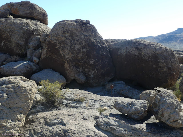
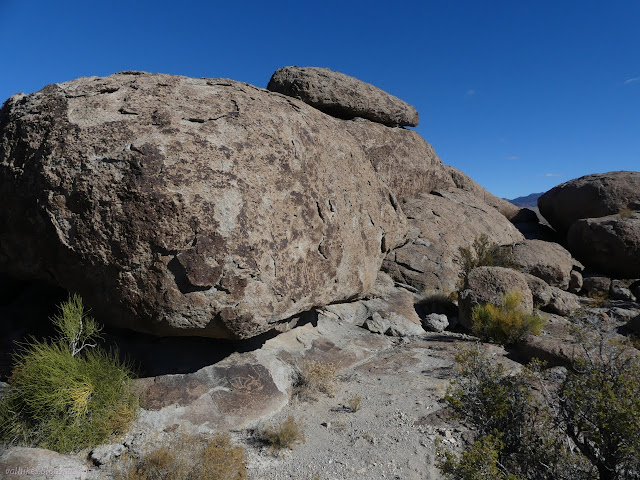
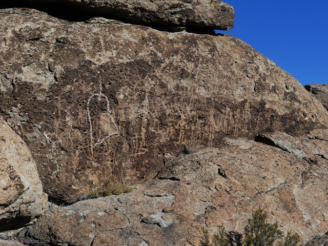
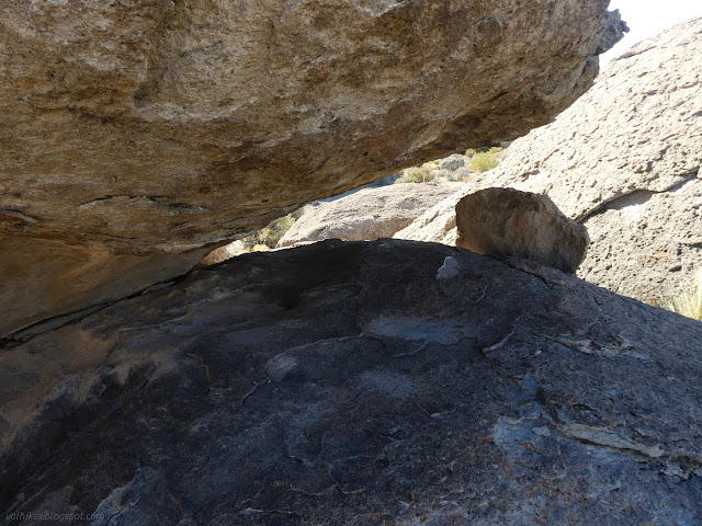
With that, I had found all the markers for the upper area of Crystal Wash I. Next was simply to follow the wash down to Crystal Wash II. Even this did not prove to be easy. I hadn't noticed that when I followed the smoother area toward marker 4, the main wash had actually gone south through a line of rocks embedded in the ground. They created a line and I believed it, I suppose. It took a couple tries to find a way down.
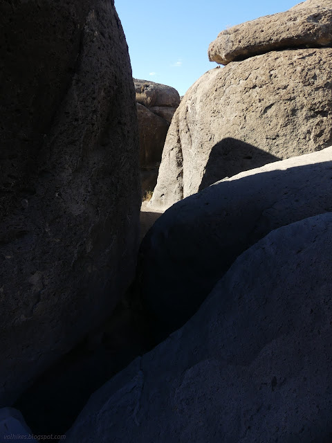
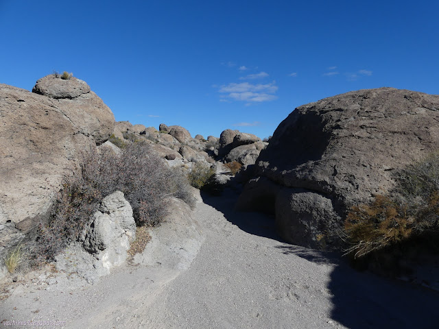
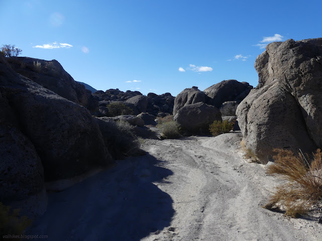

The first marked site in the lower Crystal Wash area is actually #4. The brochure takes a more encompassing approach to writing about these sites, tending to talk about culture and particular aspects of life, then mention which markers illustrate the point rather than the more traditional number and explaination approach. The numbers are a little jumbled and it doesn't matter. These lower ones are on bighorn sheep instead of humanoids.
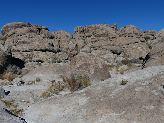
The rock at site 4 has wrap around designs. The spot feels to be a bit of a crossroads as another bit of wash comes to join the main branch. Does the art serve to inform about the choice presented? It is rather abstract and much of the meanings lost to history. This place had changing people and the people have changed through the centuries and the art goes back a long long time.
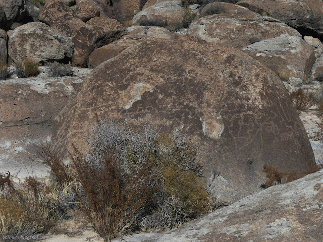
Feeling so much like a crossroads, I was inspired to wander up the other wash a short way. I wasn't the only one as there were footprints in it from the previous party, too.
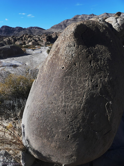
Then on I went, with an eye out for the next site. Two of the markers for the lower site have gone missing.
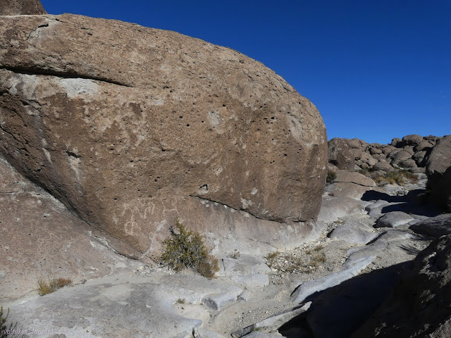
I continued on, finding site 1. It stands out again as if another crossroads, but a junction is not so obvious. It is another with wrap around patterns, mostly a single line.
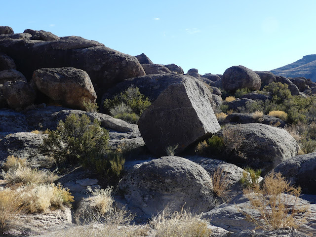
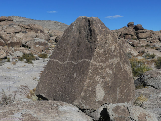
I retreated a little to locate site 2.
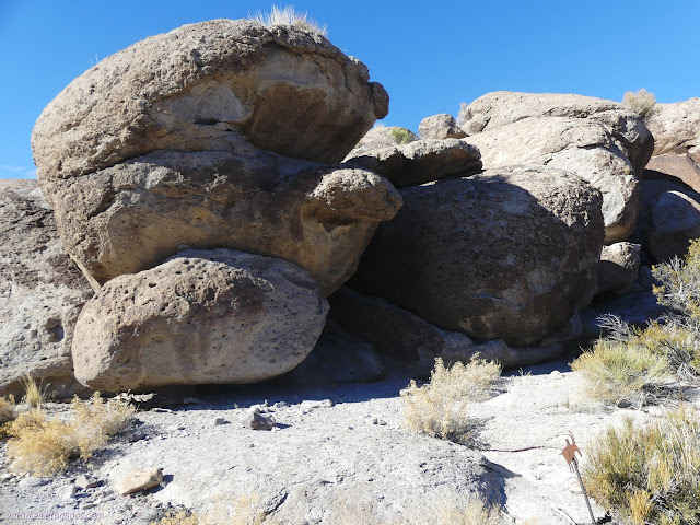
Then I headed further down the wash pondering one arrow and generally not seeing where I should be going. I went way too far, wandered a little way down the wrong side channel. I really wanted to see site 5 and 6. It says 6 has a coyote figure! I puzzled over the scale of things, discovered that the arrows do not twist easily even if one seems to be twisted, and finally got into the correct wash branch, but was still not quite in the right place to see these low markers.
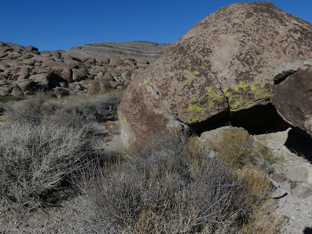
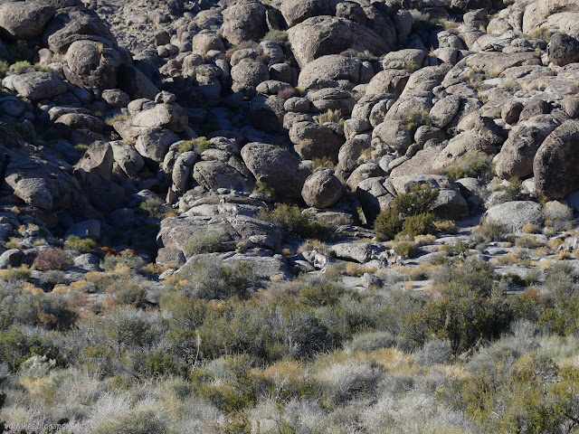
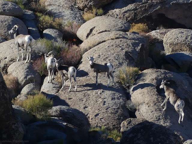
Looking at the real sheep, I finally spotted the little metal sheep 6 I was looking for. It marks a large and multilayered panel and I despaired of finding the coyote. How long must those studying these spend picking out the separate pieces in order to see it all?


Once I knew where site 6 was, site 5 was easy to find. It's another special one both for the natural feature and it has the only paint known in the site.

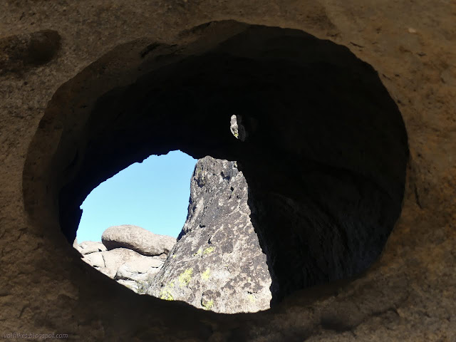
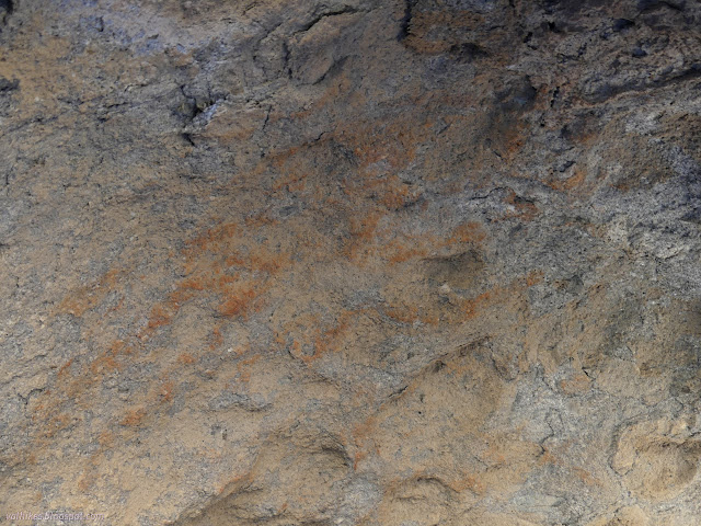
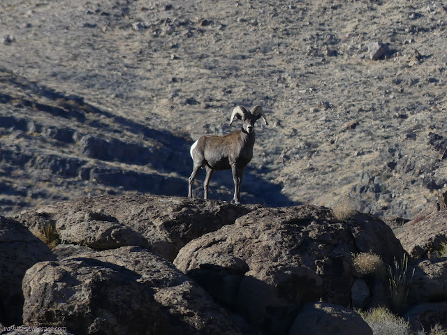
That interpretive trail was certainly harder than expected, but I found it all. I would not have been able to find the route and the marked spots without the brochure. I went back to the wash just a little further down and set off toward the geocache that had sort of helped me find the start. Going cross country back to the road was certainly not straightforward.

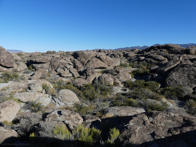
Someone had piled a large cairn at one spot, so I went over to look. It didn't lead to trail or anything. Just a cairn. So I went back to making my own way.
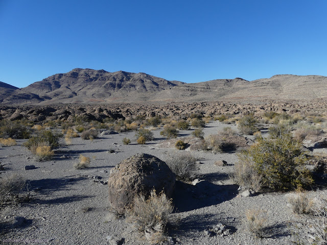
I found and signed the geocache. The former logs indicate that about 3 out of 87 also stopped by to see more than the rock formations next to it. One over 10 years ago thinks maybe there will be a sign soon. Perhaps not, but the gate they mention is improved. I followed the road back to the parking.
While I'm willing to report on those things that are being made available and known to the public, particularly when they come with literature about the site, I'm not really adding to it. I did find one unmarked panel along the way for the joy of discovery. I present it here, detached from position and time. Was it even along the path presented? I leave it to others to find as well.
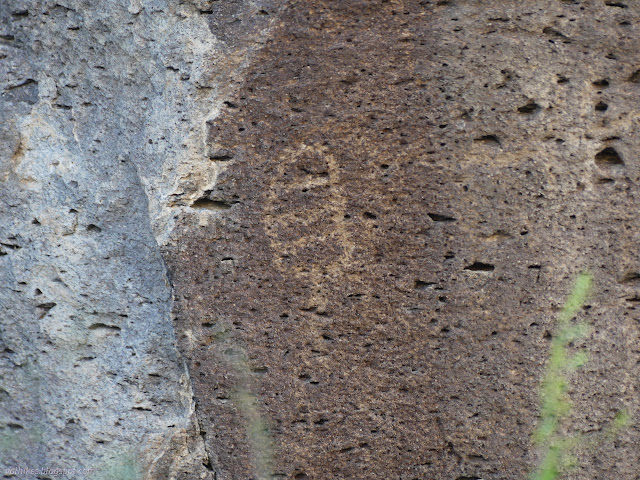
*photo album*
©2023,2024 Valerie Norton
Written 25 Jan 2024
Liked this? Interesting? Click the three bars at the top left for the menu to read more or subscribe!


Comments