Hot Creek
Wayne E. Kirch Wildlife Management Area
(map link)
The Kirch WMA boasts wildlife viewing, but not hiking, according to my handy Ely District Recreation Opportunities Guide from BLM. The district boasts two of these free to visit Nevada Department of Wildlife facilities that cater to migrating waterfowl, the hunters that might get a few, and birdwatchers galore. Fishermen too. Road signs have been provided to help get them there, too! There is no camping except at the free Dave Deacon Campground. I started the day making an animal trail approach to Whipple Cave until I got enough signal to look it up and find out about the 80 foot rappel required for entry, so I got to the campground a little earlier than expected. I decided to wander over to Hot Creek in the afternoon and found that there is a little bit of hiking trail here. I ended up making a couple trips over while I was at the reserve.
I set off on about a mile of rather flat road to get from the campground to the creek.
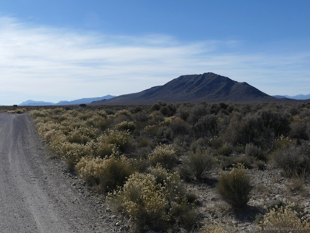
I wasn't too keen on walking the road even if I seemed to be the only one on it. There's some random old roads and I turned down one with a hump on it to prevent current usage. It was going more directly to where the spring source is marked for Hot Creek. I had to navigate a range fence (they graze cattle for weed control, but don't want them in the creek) and some tough but low vegetation to get all the way to the water, so not a recommended approach.
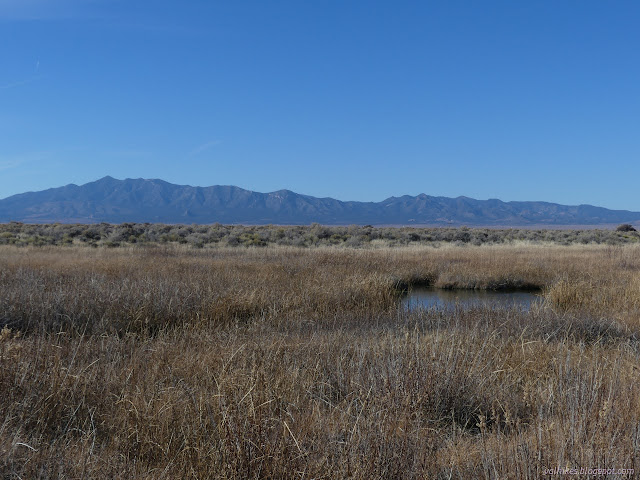
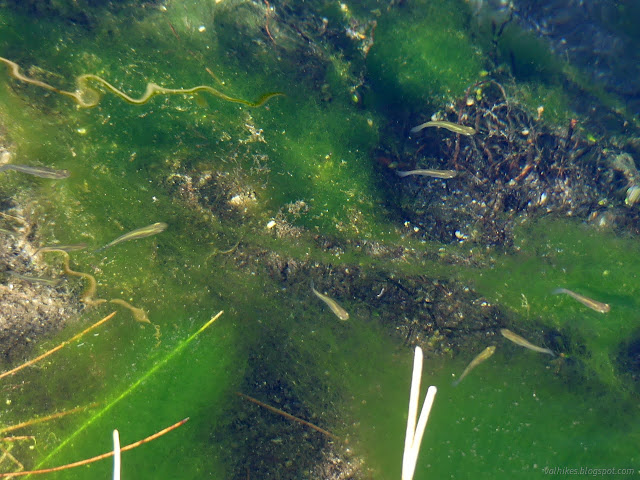
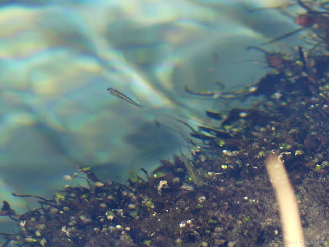
I actually made my way toward a sign I'd spotted down by the water, so I did arrive at a sort of trail beside it. There is one very short hiking trail in this place. The sign focused on the rare fish that live in these warm spring waters.
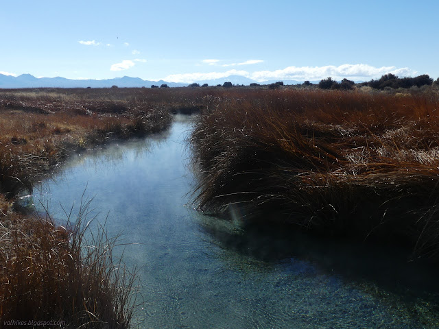
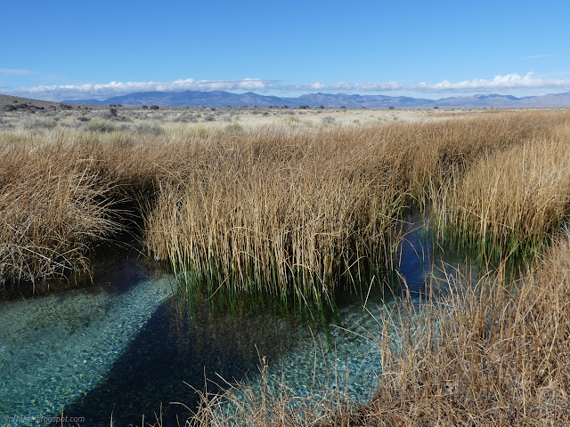
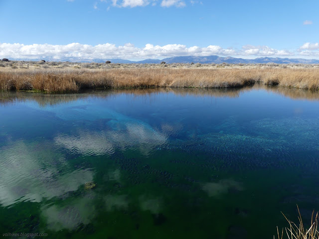
Little streams of water come in from the side and big holes can be found in the creek bottom. There's lots of water sources. I put my fingers in a few and found that they weren't all that warm. It was breezy and cool for me in the air, so maybe that affected things.
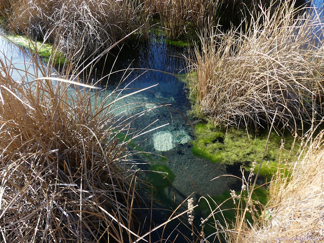
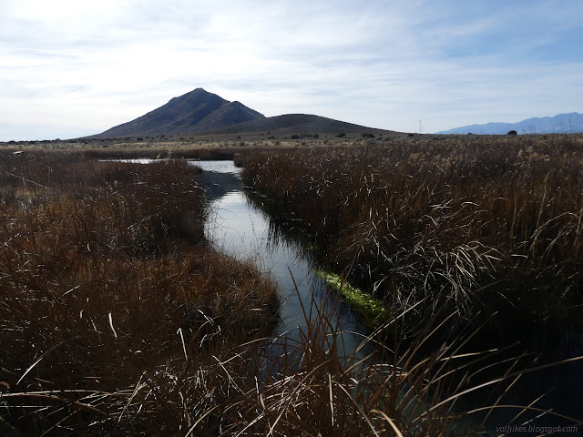
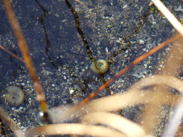
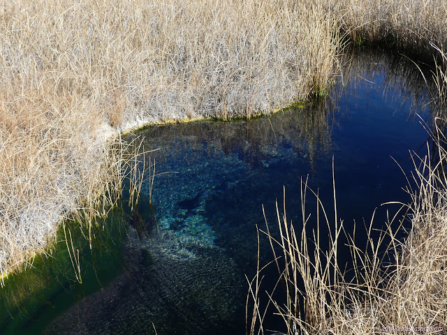
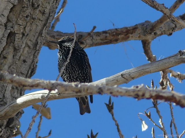
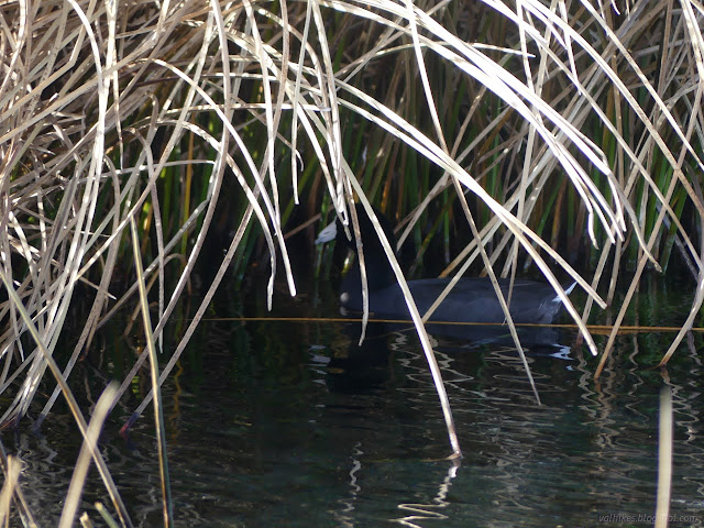
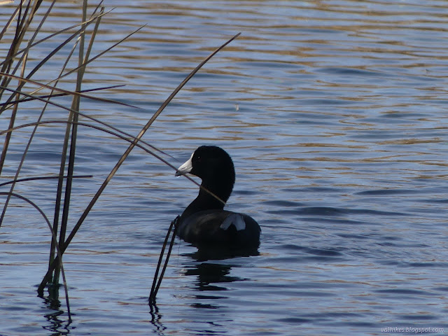
The waters did contain one, single, floating bird. It quacked to itself in the weeds and I was able to track it down.
One sign was about invasive species. It includes mention that even the cleanest human body coming into these waters can cause problems with the native fish. I expect that if folks get into too much stomping around, the bottom feeding fish don't have much to eat.
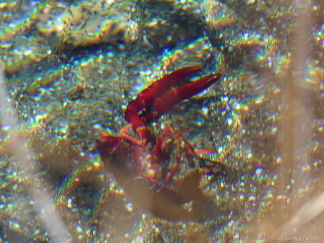
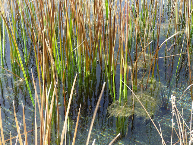
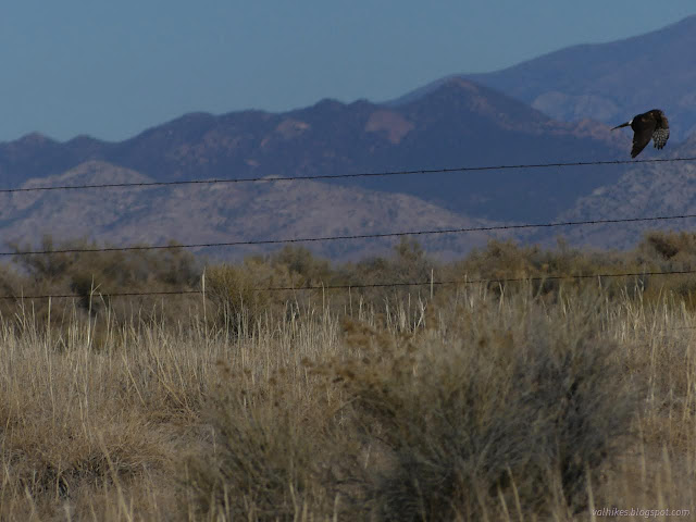

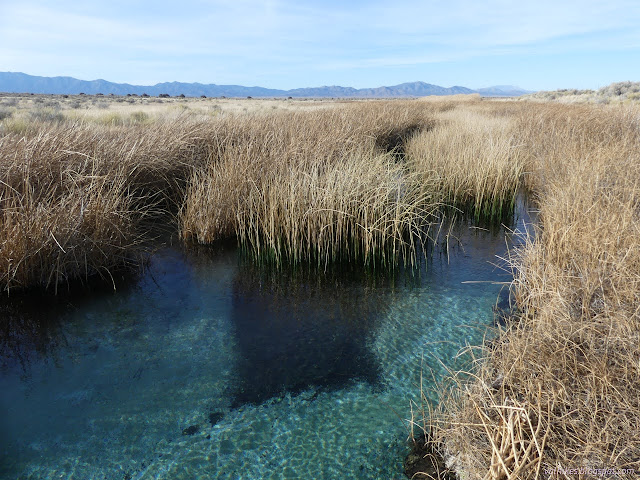
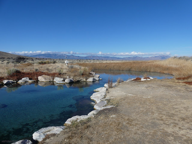
Past the last of the three interpretive signs along the creek, I came to the designated swim area. It was a little surprising after reading the sign about humans being bad for the fish, but it makes a bit of sense. Designating an area helps localize the effect that will happen. The bank is hardened with rocks, so the creek doesn't expand with each bather and it's a bit easier to access.
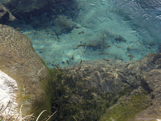
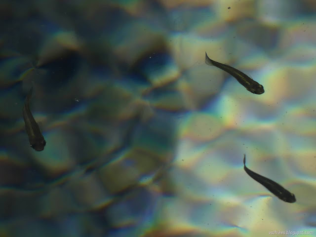
Fish at the swimming hole were not skittish at all. They even nibbled at my feet a little. I've heard that fish don't go far along their creeks and here is the proof for these.
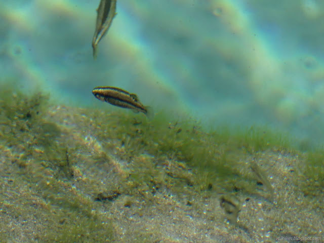
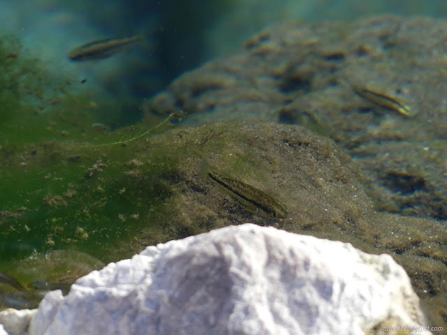
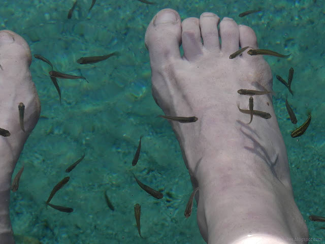
And with my feet nice and clean, I returned to camp on the wide path and excellent road.

Friday, 17 Nov 2023
On my second wander over to Hot Creek, I kept to the good road except for a random dirt alternate that I'd found on the way back, plus I cut across the first loop as I had done on the way back. And once I got there, I did a little better job of documenting the creek. It doesn't hurt that the sun was doing a better job of shining.
Slide through the V slot in the fence and there's an information sign about the designated swimming area and a very wide trail to it.
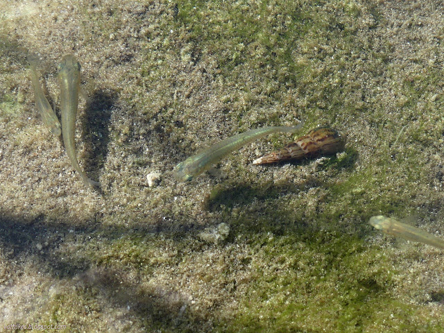
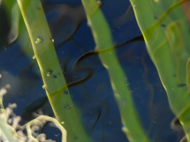
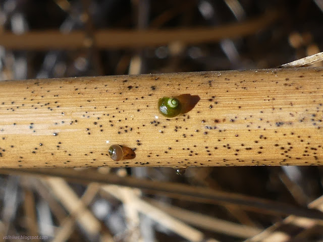
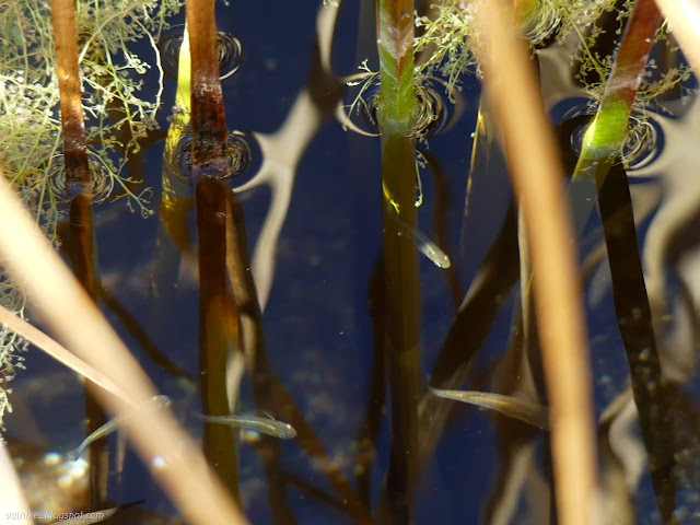
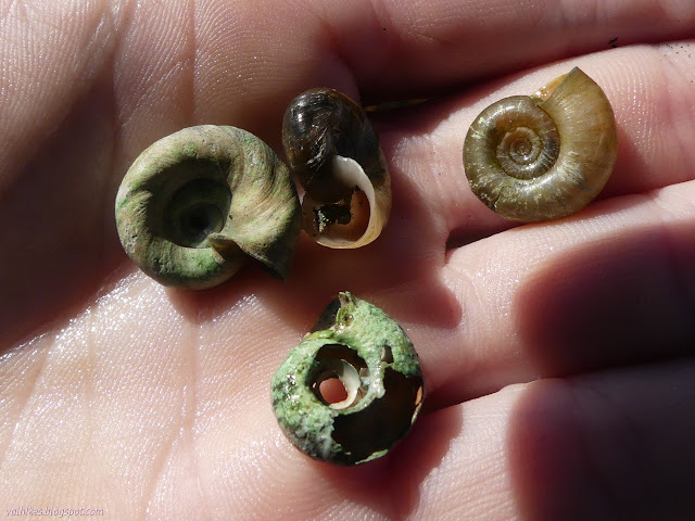
I got to noticing some strange movements on the creek bottom. I even took a few videos that are combined below.
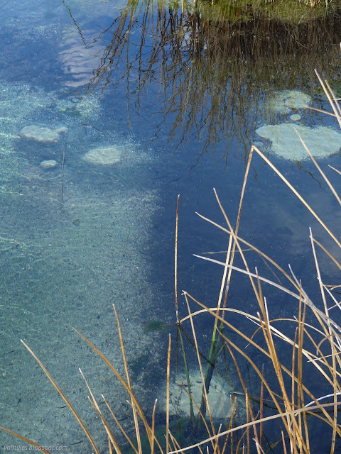
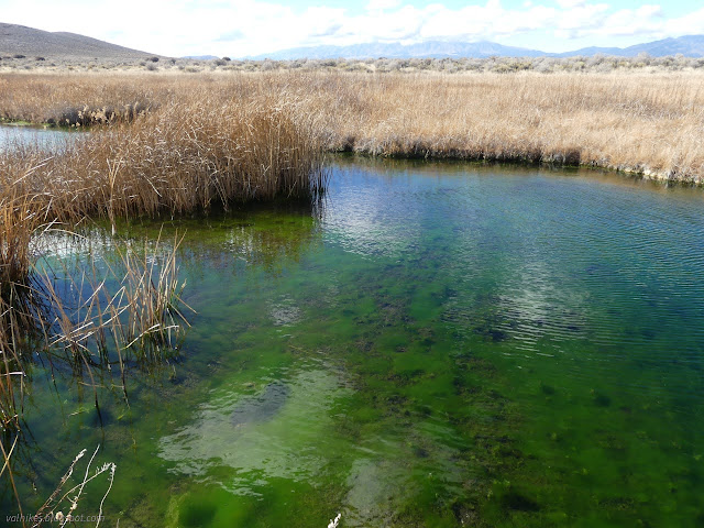
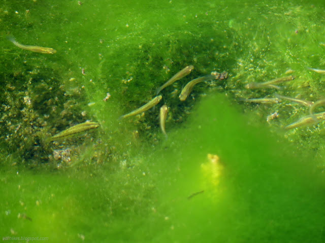
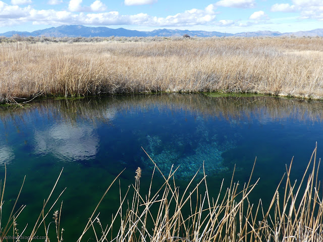
With a little care because the trail was a little more flooded than on the first day, I made it down the ever thinner trail all the way to the end. The trail actually wrapped around and started down the other side.
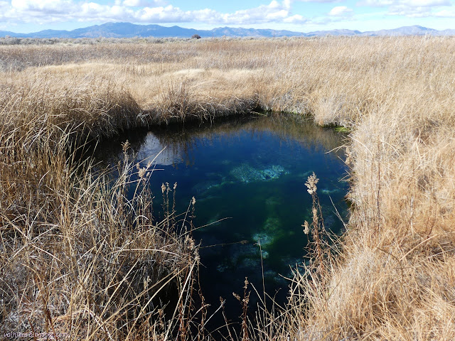
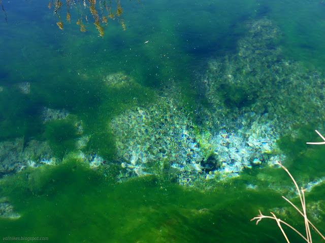
*photo album*
©2023,2024 Valerie Norton
Written 13 Jan 2024
Liked this? Interesting? Click the three bars at the top left for the menu to read more or subscribe!


Comments