Meadow Valley Wash Linear Park
Caliente Field Office BLM
(map link)
I was off for a day in the city, mostly library time and a stop at the BLM field office. I'd also found a few feet of trail to follow in a loop about the city. First, on the way in, I had to stop and find a geocache hidden in 2001, partly because it is so old. (I don't think much of the current craze to "refresh the gameboard". Let the old ones remain.) Then it was off to the park, then, since there was plenty of time, I poked around the local cemeteries.
Newman Canyon
There is quite a big area to park beside the highway here, but no trail to get up high where the geocache is. They've given it a high terrain rating because of loose rocks and steep slopes and they aren't kidding. I found a way along some very minor ridging that did look like it gets walked from time to time. The view at the top was quite rewarding. I'd spotted this canyon from the top of Grey Dome, but it's more interesting to see closer up.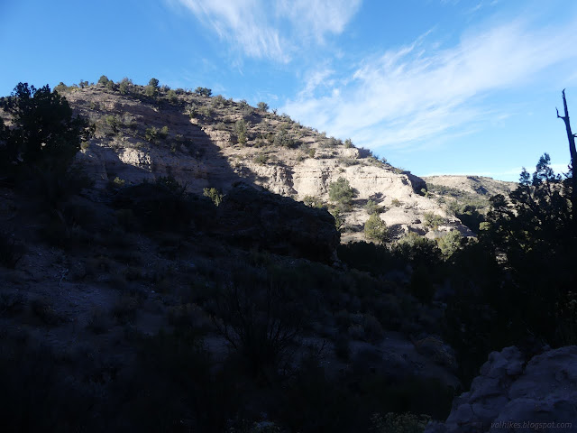
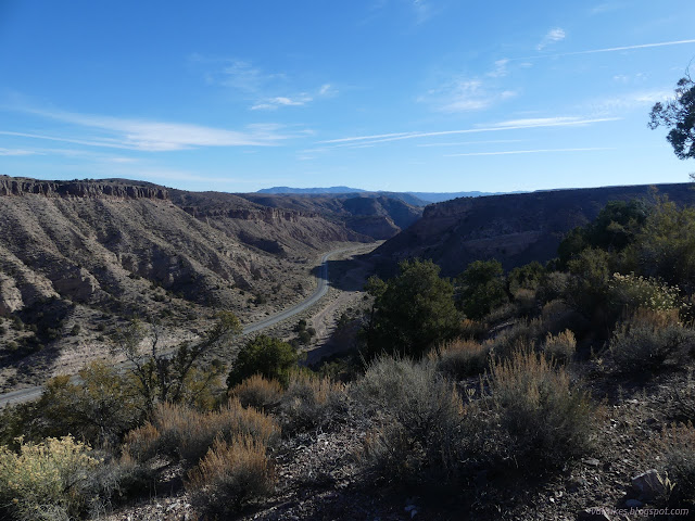
I thought I saw a natural arch, so had to go down to check.
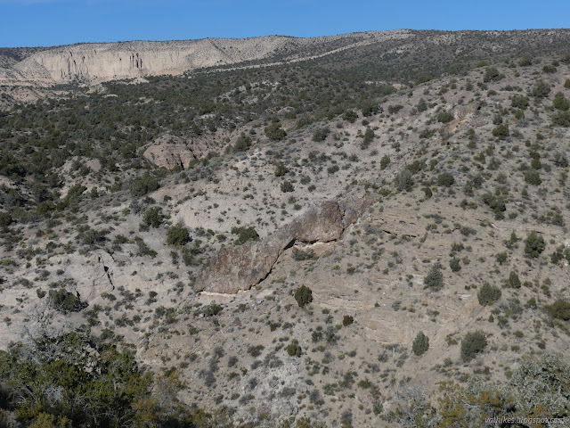
I found a way down in a wash. It felt a little safer, but I wasn't ever sure I would get all the way down that way until I was down. Then it was off to the linear park.
Meadow Valley Wash
The city park has been developed into quite the family friendly space with paved walks and benches and picnic tables and a bridge to cross the wash. Signs by the main parking area tell of area history. It seems mostly to do with flooding of this very wash. Railroads were built in 1905 through the area and washed out in 1906, 1907, 1909, 100 miles washed out in 1910, more in 1911. They finally thought to build a little higher after that. Apparently the expected income from serving mines was sufficient to motivate all that track building. The nearby area isn't an annoying checkerboard of public and private lands. The trains still run, but not many and they tend not to stop. It's all cargo.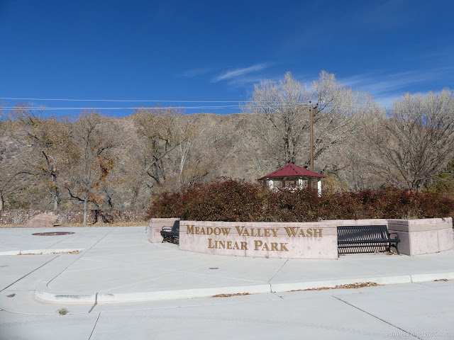
I headed for the walk and the flowing water. Actual flowing water! And I stopped by another geocache to drop off a trackable.
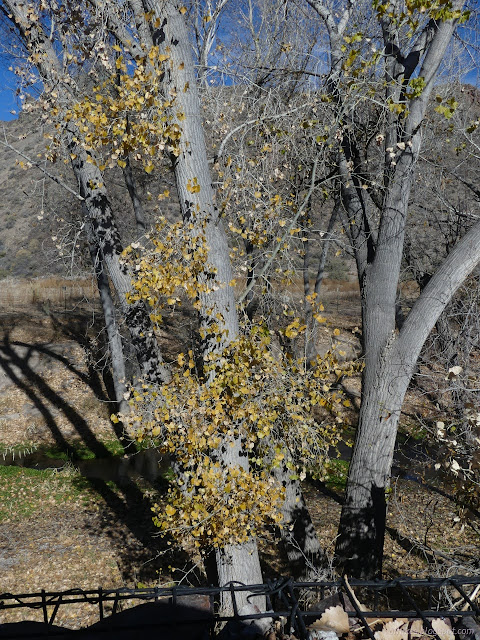
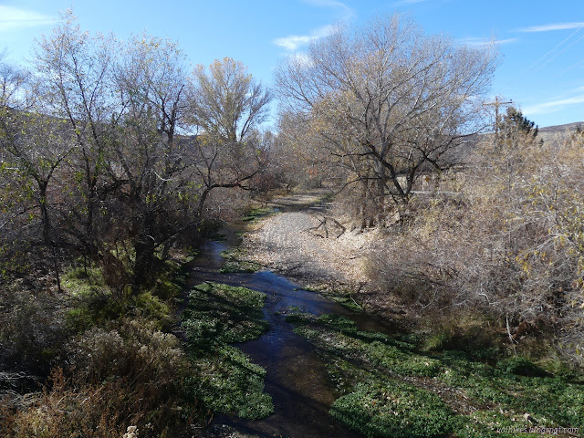
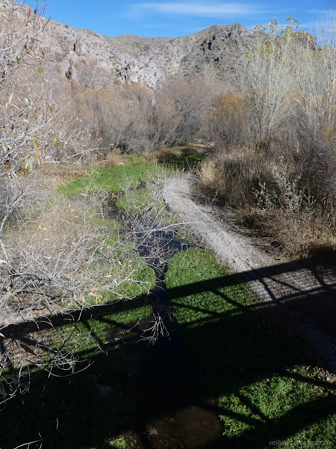
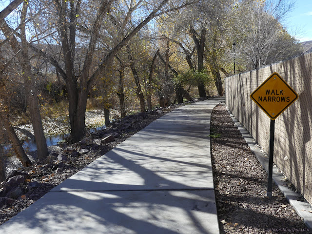
I passed some other trail users and one got in a quick "turkeys across the creek" with the "hi"s. It was so quick I had to sort out the sounds to understand it. What what? Tur-what? Then I spotted them. Turkeys settling down in the leaves across the creek just a day before Thanksgiving.
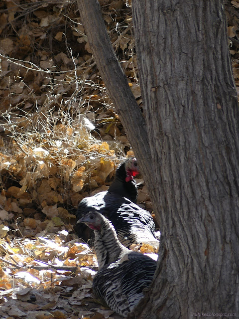
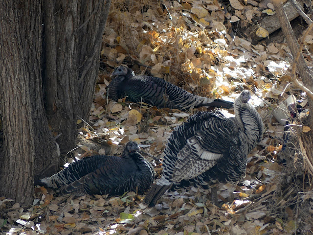
There's some backyard dog barking to deal with as the trail crosses back over the flowing wash.
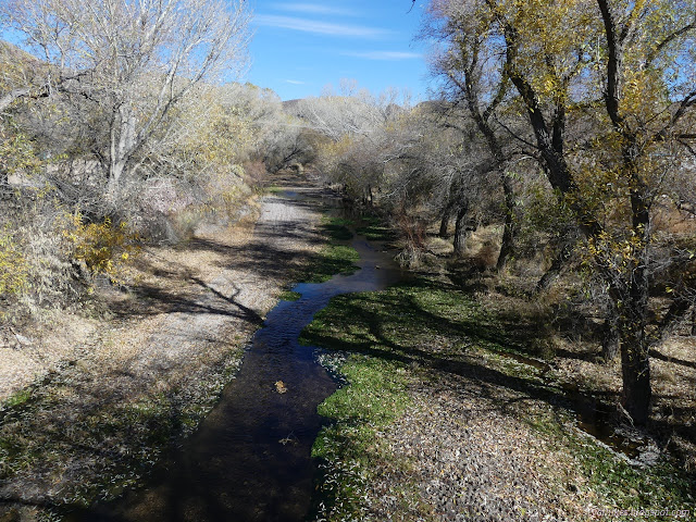
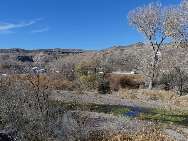
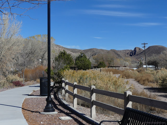
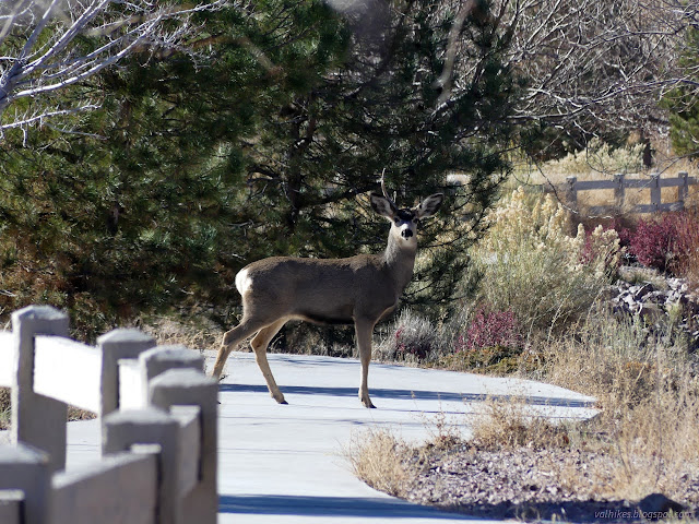
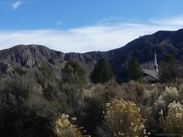
I came to the end of the path at US-93 and crossed over to the sidewalk beside the tracks. This would give me a view of the other part of the city: the trains and station.
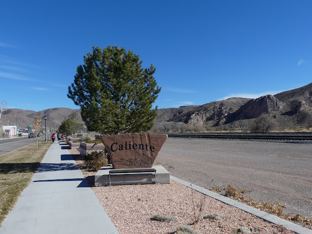
I passed another sign commemorating flooding and found the historic train station hard to look at due to the renovation. Since there are no more passenger services stopping here, the building now holds city hall, the library, and an art gallery. Asked at the BLM field office, the library is currently a bookmobile operating off a 40 year old trailer and that broke last week, as best they knew. Have you ever heard such a sad story? I wouldn't be spending time at the library after all.
The Boxcar Museum beside it is still open, although I did not visit. Admission is free.
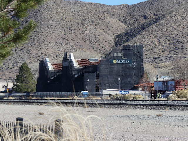
I noted the claim of a Radio Shack among the store fronts past the station, then turned back to the park along Market Street. This does miss a short bit of the park to the east and the trail to the pool.
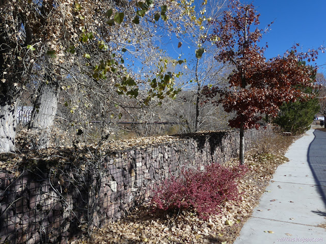

It was definitely a good stroll for when one is needing to see a little running water.
Caliente Cemeteries
I took a wander of the cemeteries, which are clustered not far from the highway. I started with the Independent Order of Odd Fellows. It's probably about as old as the city, but so are the others.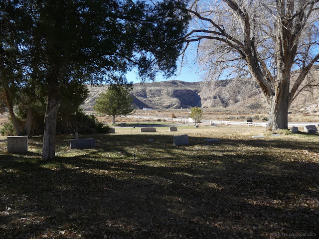
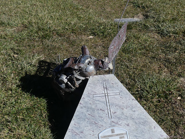
They didn't seem all that odd. I crossed over to the other two on the other side of the road.

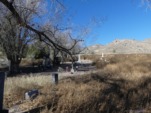
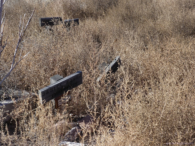
The city side is quite sad. There are clusters of wooden markers dated from 60 years ago to the same year. It is covered with Russian thistle except where folks have beaten a path.

I pondered one stone stating that the one resting there was born in Pasadnio, California. Pasadena? As spelled by those left behind who only almost heard it? It was at the edge of the tended grass of the memorial park.

It's nicer to walk in the grass. There are benches and trees too.
*photo album*
©2023,2024 Valerie Norton
Written 20 Jan 2024
Liked this? Interesting? Click the three bars at the top left for the menu to read more or subscribe!


Comments