Shingle Peak
Caliente Field Office BLM
(map link)
I headed over to one of those maintained roads indicated on the trailhead sign at Sheep Pass Canyon. It is probably called Shingle Pass Road, but there's no sign. Nevada really isn't too worried about signs. You can see there's a two lane gravel road over there as you approach. There aren't any others for miles. You know it's the one you want. Right? I followed it to an old corral, which is generally a good bet for a dispersed campsite, to hike the high point of the Far South Egans Wilderness. I'm afraid I was lacking imagination for a hike in this wilderness and settled for what is rapidly becoming the usual route for bagging its high point.
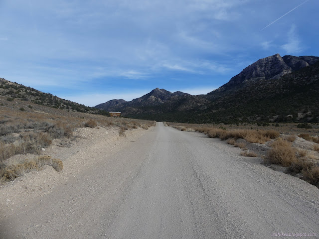
I almost flinched. I almost decided against doing this hike. The descriptions, particularly one who had gone up a ridge earlier than the more common route, keep mentioning actual scrambles. In this rugged terrain, scrambles aren't so surprising, but I'd rather not have much of it. I almost decided this bit of unknown was too scary. Perhaps it was that I was embarking on the most difficult hike of this Nevada outing and I still felt likely meaningful pain from smashing a rib onto my camera in a fall three days before, but it felt like something more. It was that something more that made me decide I couldn't give in to it.
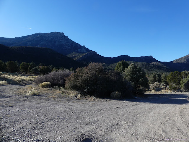
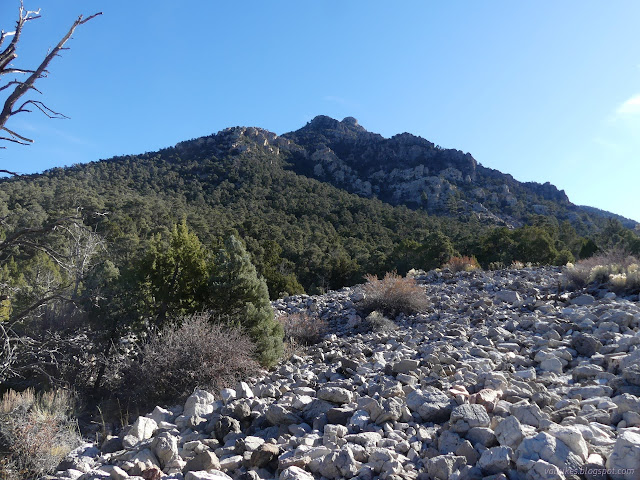
I shouldered my pack and headed off. The first part is to just cross over to the next wash, then turn up it for about 2 miles. There wouldn't be much views for this part of the hike. There would be a little brush to deal with and people had made suggestions about how to encounter less of it.
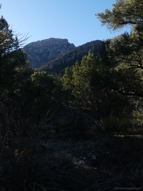
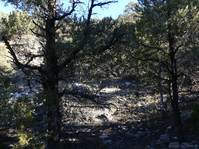
Crossing involved just going for it. There were two minor washes to cross, but they were no difficulty. I was surprised at how undefined the main wash seemed to be. It looks like a canyon on the topographic map, but there seemed to be multiple dry flows separated by slightly higher hills in the actual. I went up beside one and it seemed to be the right one although nothing distinguished it.
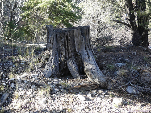
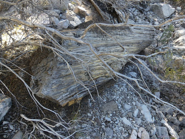
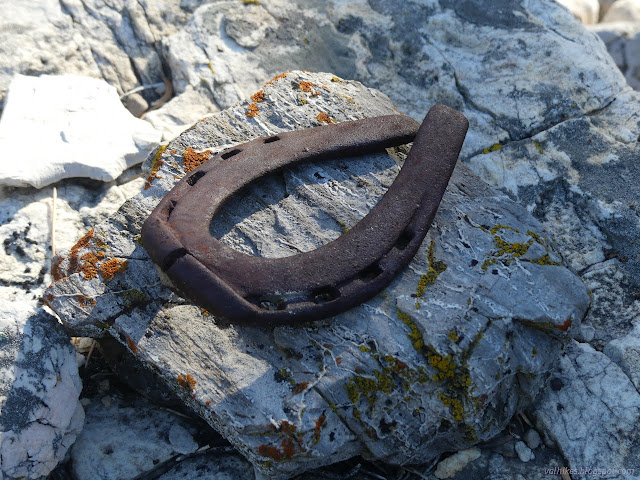
I began to see the evidence of humans passing before. There are some very old stumps and quite a number of logs cut to 8 foot chunks.
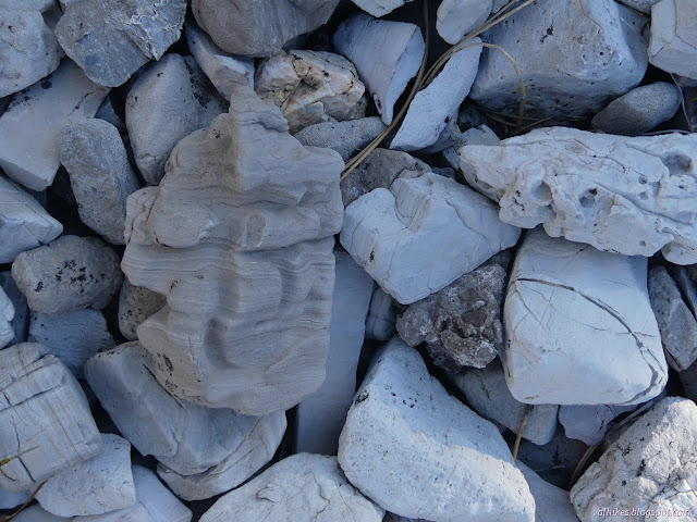
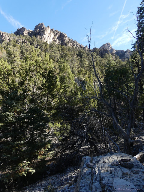
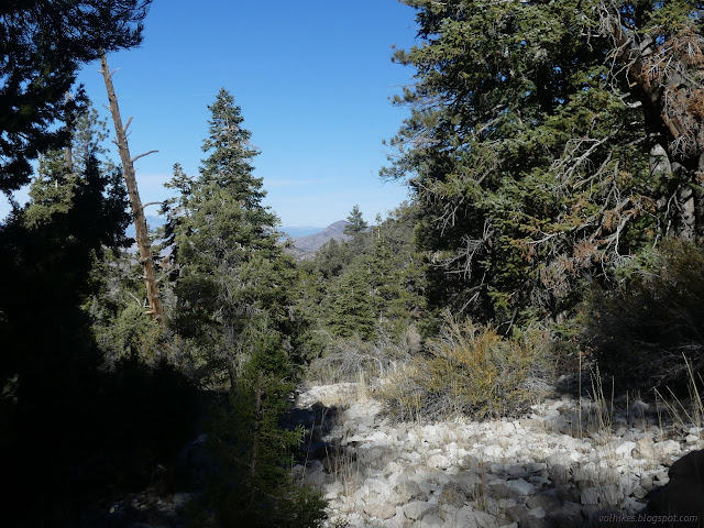
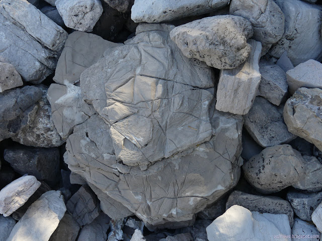
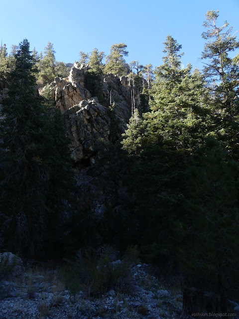
I got to the right ridge and it was time to turn upward. This first climb out of the wash is the steepest part of the hike. It's a lot of work and quickly gains rewards in the form of views!
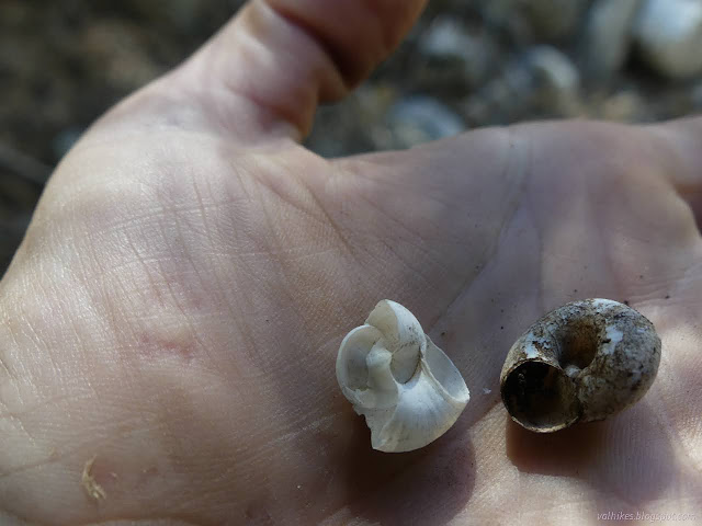
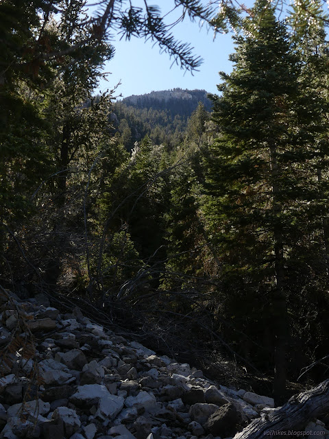
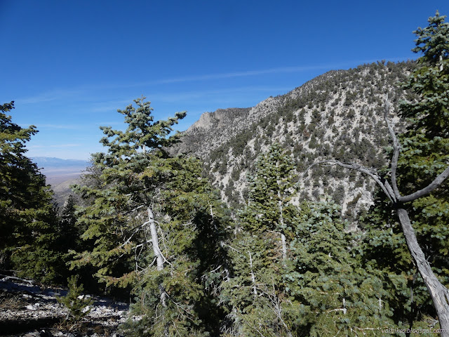
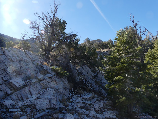
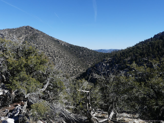
I worked my way toward the top of the ridge. The map indicates cliffs on the right side, so I yielded to the left whenever there was the suggestion of a need to climb. It worked great.
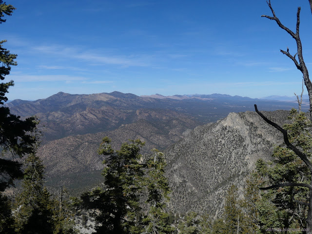
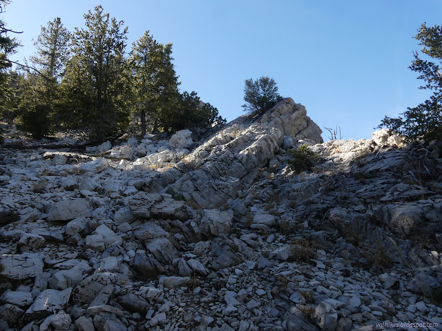
There's one last steep push to get to the top. I was surprised to find aspens just before getting there. Maybe there is water stored underneath.
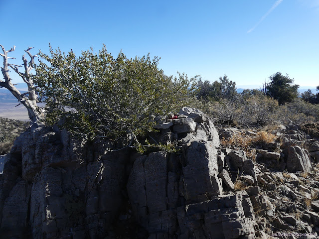
I found myself on a fine place to be looking out over the landscape.
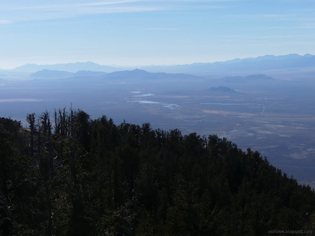


There's a bit of a rise to the south. I decided to visit it before I left and am glad I did. All sorts of view that was missing before was revealed to me.
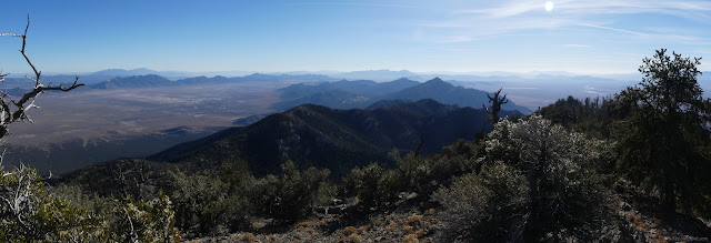
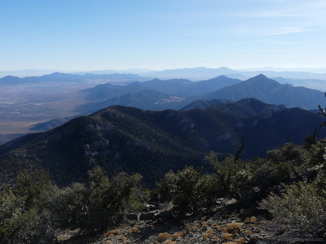

I stayed perhaps a little too long, then headed down. The ridge up from the saddle is tempting, but I stayed to the one I'd come up. Again, I stayed away from the cliffs to the north. They're real!
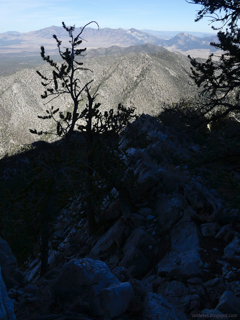

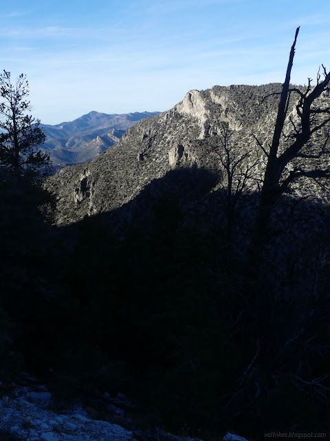
I got a bit too far left very near the bottom and ended up coming down some rather steep stuff, although not a cliff. It was a little harder to walk than the way I went up. I tended to the right of the canyon on the way down and was more willing to hop along the rocks. It did seem to be less brushy on the way. It could be drier as well as rockier to help with that.

I found a cairn there on the right side of the canyon at the end of what looked like a built trail, or perhaps the remaining edge of a road. I followed it up and it indeed expanded into an old road track. I decided to follow it back.
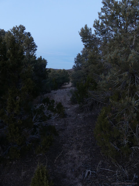
I lost the road in a flatter area where there might have been camping a few times. Besides that, the light was pretty much gone. Everything was against me following it all the way. I ended up cutting across a dry creek to a Jeep trail that is still on the map and following that down to the corral area.
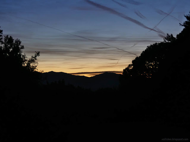
It was a great hike and didn't seem to have aggravated my injury any. In spite of that, I was having thoughts of taking some easier days.
*photo album*
©2023,2024 Valerie Norton
Written 10 Jan 2024
Liked this? Interesting? Click the three bars at the top left for the menu to read more or subscribe!


Comments