South Egan: Ninemile Canyon and Mountain
Bristlecone Field Office BLM
Caliente Field Office BLM
(redder lines, map link)
DAY 1 | DAY 2 | DAY 3
I took the weekend to write, then Monday to post and shop and find information. In Ely, you can get kerosene and denatured alcohol from the ranch store and white gas from the supermarket, so I could keep my stoves running. I didn't find anything of interest in the sports shop. The Forest Service district office is kind with water and has a spigot that doesn't go off in winter. Then I ran south to avoid weather. I was aiming at a spot behind (east of) Lund, but landed along an unmaintained, but well used, access road for the South Egan Range Wilderness. I walked the road to Sheep Pass Well and decided I could drive it. There was more thumping than expected, so that's as far as I got. I suppose I got just far enough south, because I watched it rain over Lund as I ate in the dry.

The next morning had more weather and I got a little more writing done, but in the afternoon I got some planning. This road, marked by a corral by the highway and nothing more, is a main entry for the wilderness due to it having four Jeep/ATV trails that extend a good way into the "road free" area. I decided I wanted to hike out to a pair of peaks, one the high point of the wilderness and the other marked as the high point on an information sign a mile past the well. (This sign states both an elevation for the highest point and a maximum elevation for the wilderness and has no problem with these being different.) They're just a little too far for day hikes, so I packed up for three days. I really wanted to go up Ninemile Canyon and even when I realized a different route was more advantageous to getting to the high point, kept to this route. Plan A was get out to a camp and bag Adams benchmark (the high point) before from there. The next day, cross to Schoolhouse Spring. Finish with the alternate "high point", then return to the car. Hopefully it wouldn't be too manhandled by cows who come for water at the nearby well.

Due to the number of hunters that had passed by Tuesday, I pulled my bright orange Bigfoot Trail Alliance shirt out of the dirty hamper to wear. Maybe I need more orange? They did seem to be in retrieval mode. One group had only been gone 40 minutes before returning with antlers poking out of their truck bed. I packed the water based on desert safety. While there should be water up high where springs are marked, I might choose the wrong one to rely on. I had enough to get out there, camp, and get back safely, so if I didn't find water, it would shorten the trip by a day. With my winter stuff, a bit of rain gear, and some chocolate ginger pancakes, it did bring my pack up to 30 pounds as I headed out.


I have already been in the Egan Range when exploring Ward Mountain and hiking about Garnet Hill. The mountains seem quite rough in this area, with these tough stripes of limestone. If you look hard enough, you can find a few caves in nearby. Geocahcers tell about one near Lund and there's one mapped to the south.


I arrived at the trailhead beside an old corral. The information sign has a little to say about the wilderness, its plants and animals, and a map that hints that if I want maintained road access, there's one to the south and one near Lund.

There's a low route and a high route to get to Ninemile Canyon. I took the low route.


The road only approaches Ninemile Canyon. It never arrives there as the canyon is far too rugged for wheeled travel. It gets a good look, then turns to go high.

I missed the turn while poking along for a better look into the canyon. I could hear water splashing through it but couldn't see it. The map says the road goes straight up the hill and straight up the hill looked clear enough, so I walked up where I was. There's a lot less loose rock to deal with that way.


The road does come down to Ninemile Canyon above the section that looks most interesting on the topographic map. I did see water in the canyon prior to arriving in it, but the stream appears dry as the road crosses it. On the other hand, the willows seem to be trying to take over the crossing and the roses are so bad that they grabbed at me in spite of this being, well, a road. With usage. By wide side-by-side ATVs and probably some trucks.

Plan A called for leaving the road at this point to continue up Ninemile Canyon. There were cow paths through the spines on the south end of the crossing, but these had plenty of vines hanging across them. I didn't really want to face them. How far would they continue? The road was getting some nice views from its higher placement. I decided to continue on it.


I arrived at the saddle where the old road once ended. The new road swings downward and stops at a far spring past West Parker Spring. I wasn't too interested in that segment of it. When I changed my route, I made it too long to visit Adams benchmark at the end of the day. I had the time to go to the top, but not down. I was pretty sure I could push it to the next morning without problems. Letting go of that goal for the day left time to visit the top of Ninemile Mountain. It's a rather steep 500 feet from the saddle. I dropped off my heavy gear and went for it.


There were bits of animal trail to follow, but it was mostly a steep, hard climb upward to just shy of 9000 feet.


I headed down with great care and didn't slide too much. Packed up, I turned to find West Parker Spring. There was an excellent cow path, staying almost perfectly level as it navigated in a near direct line to the water, to follow.

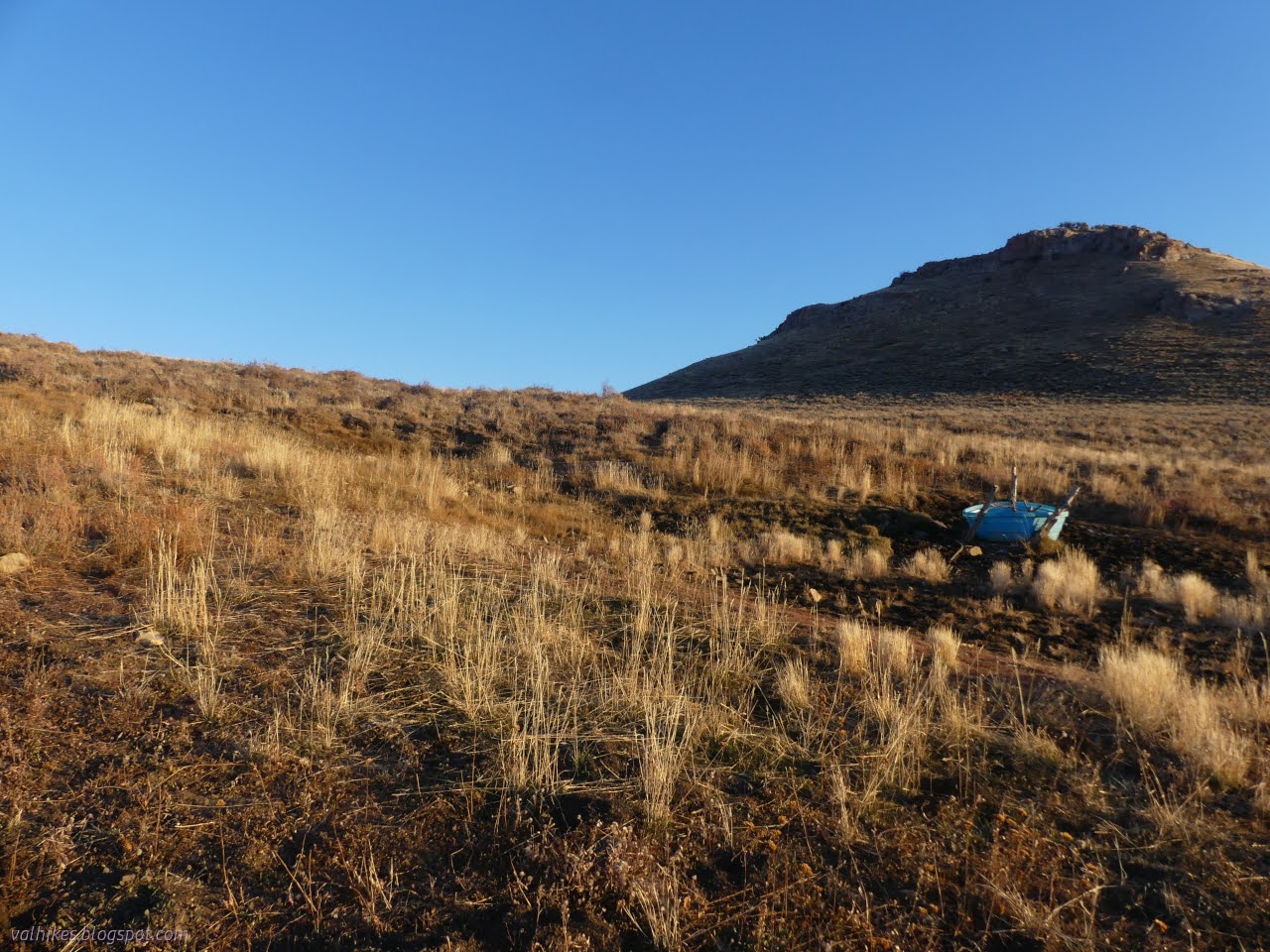
I headed off to the end of the road since I'd seen a bucket to catch water there. The cows provided good trail for that walk too. The bucket was dry, but there was ice from the seeping and flowing water all around it.

I didn't grab water at either of these springs. I had gotten it into my head that Head of Ninemile Spring would be the best there was and since I didn't need any water before I got there, I didn't bother to gather any from these substandard springs. They were just a little too awkward. Also, I was racing the light a little to get to a camp and didn't want to spend any time with water.


I guess I didn't really have enough time for Ninemile Mountain either. I didn't get as far as I'd hoped by about a mile. I found a flat spot among some mountain mahogany that shielded me from the little bit of wind as the light died and doubled back to use it as my route led to vanishing views.

And then I spent half an hour trying to light my stove with the same striker I always use. It wasn't that cold. I had it well sheltered. There was no reason it should be so hard to light. Weirdly, I has almost grabbed a lighter, something I have never taken backpacking. As panic set in that I would have crunchy pasta to eat, I desperately searched for some way to do this differently even though I had no idea what was wrong. Mountain mahogany to the rescue. I picked up some of the seeds and popped off the lovely sail and dropped that in. Two strikes later, warm food was assured.
In spite of all the people I saw the day before, I saw no one at all on this day.
Same trip, next day ⇒
*the photo album*
©2023,2024 Valerie Norton
Written 8 Jan 2024
Liked this? Interesting? Click the three bars at the top left for the menu to read more or subscribe!


Comments