South Egan: Adams Benchmark
Caliente Field Office BLM
Bristlecone Field Office BLM
(green lines, map link)
DAY 1 | DAY 2 | DAY 3
A new day and time to continue on with Plan B, up to the high point in the morning then as far along as possible to Schoolhouse Spring. Since I hadn't got over the last little ridge to a large flat for my camp, I had to pack up before going up. I felt like I had a lot of water still, so I cooked breakfast leaving my pancakes for the next day.
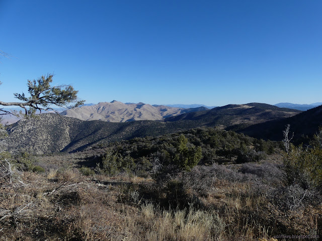
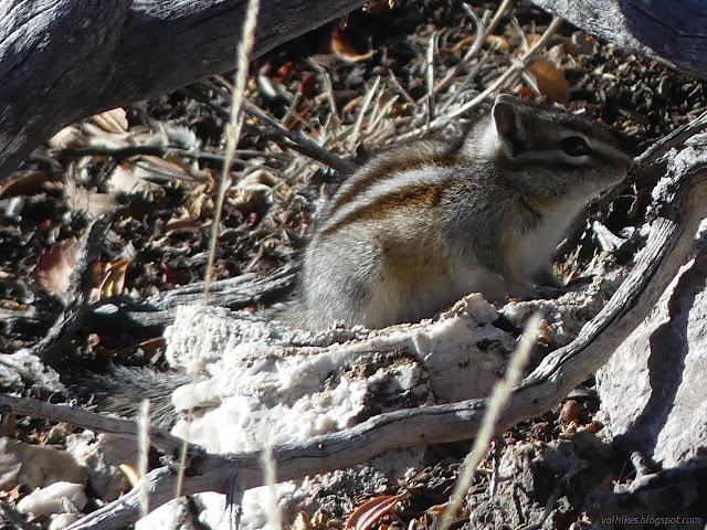
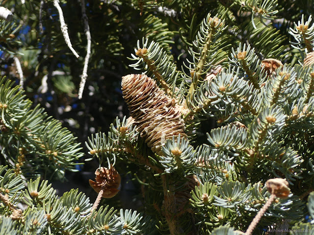
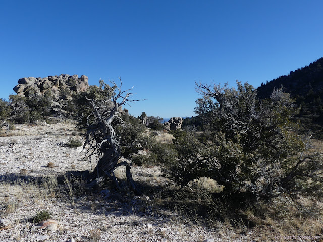
The flat does look like it would have been a great place to camp so long as it wasn't too windy. I dumped my gear among some logs and had a big ridge to go over. Some 600 feet up, 200 down, and another 400 up again to the top.
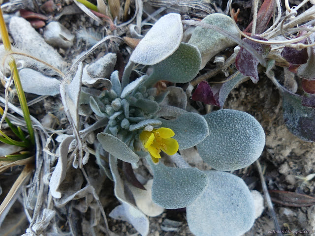
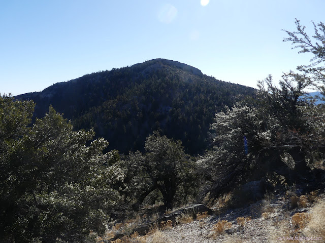
There were a couple of very short scrambles, meaning just class 2 climbing, to get to the top. I expect I could have gone around them, but there wouldn't be much point. I arrived with ease.
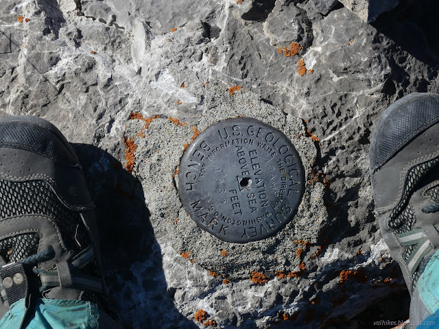
I had a look around with a view that includes the top of Ninemile Mountain all the way down to the flats below. So this high point was visible from there, but hard to distinguish.
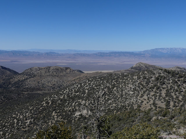
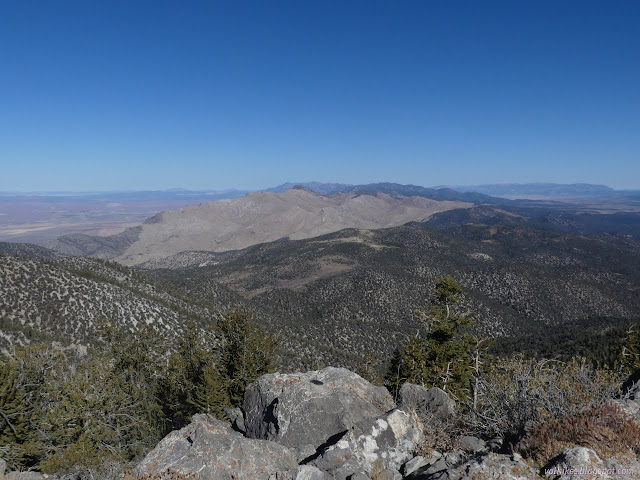
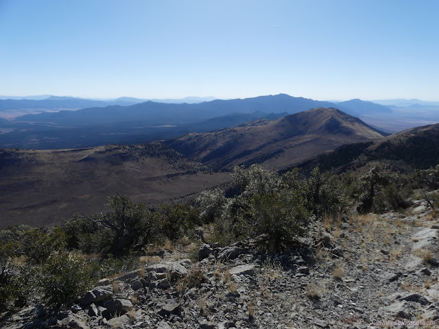

I couldn't stay up top all day. I was expecting to be back to my gear around noon and with a little hurrying up and down the hills, I made it.
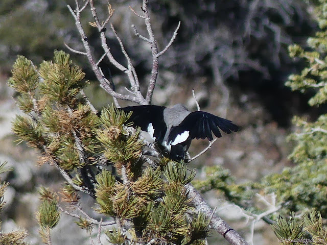
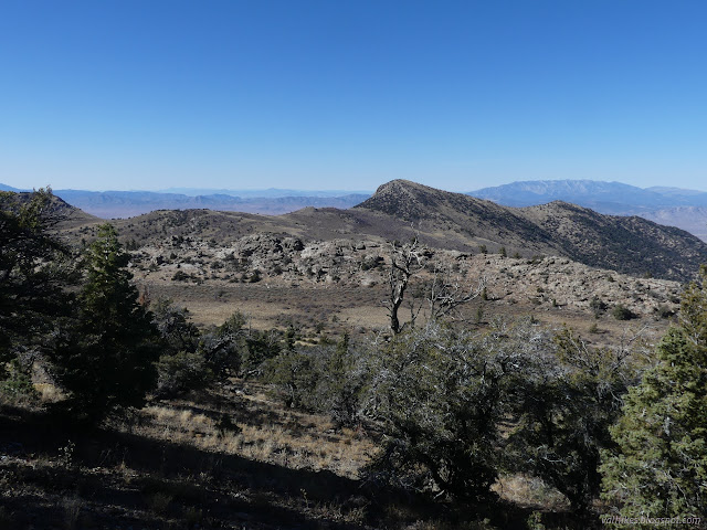
From the flat, I was heading for Parker Spring and then Head of Ninemile Spring. Cows had been to the flat, so there were plenty of trails to choose from to follow to the spring and they just got better as I got closer.
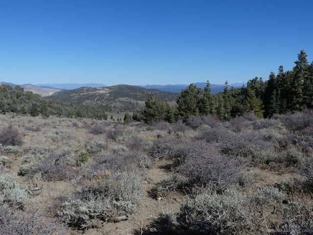
Parker Spring was very disappointing. There was a bit of mud. Head of Ninemile Spring, on the other hand, was piped and flowing very well. It was all I hoped it would be and I grabbed water right from the pipe, getting enough to complete the trip rather than trusting Schoolhouse Spring later. I was back to 5L+ of water.

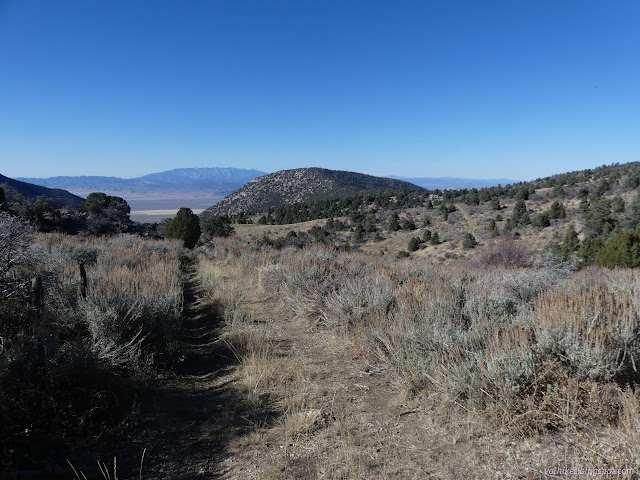

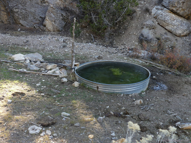
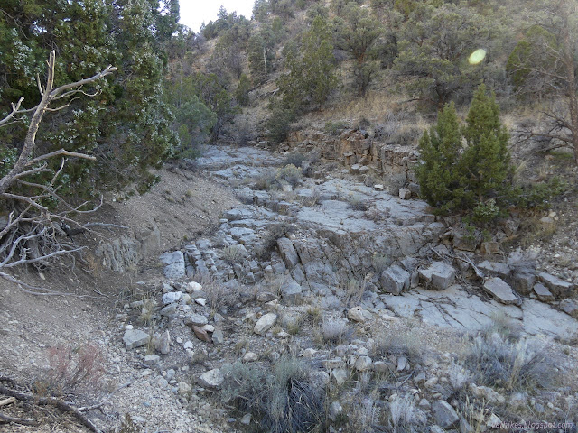
Water crosses the road and progresses down the little rocky canyon, apparently gathering more from somewhere. A tinkling flow with a little ice covering shone in the sunlight all the way down.

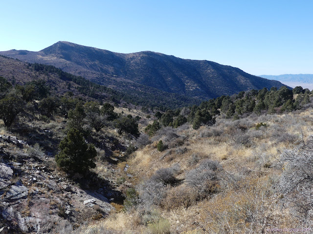
I still had a long way to go down and then start to climb again to get to that alternate high point. The road is rough and steep and rutted. It is not nearly so nice as walking the cow paths. The cows often take a line next to it, but not often enough this high up to give an alternative to walking the road.
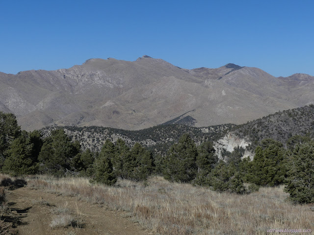
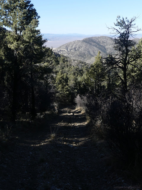
This road joins with a second that is designated for ATVs. There are "designated route" signs every mile and I was surprised to see that at the junction, only that one is marked. They don't bother to warn that it might be too much for your truck.
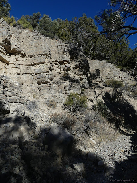
Eventually I made it down and came out into the open spaces. I was expecting that it had some different geology to make it so open. It's the footprint of a fire. It seems to have been pretty devastating and the trees, that were sparse already, have not come back.

The road I was on started to climb. I wasn't interested in climbing, so took off across the wash areas. I noticed a fence up ahead, but the cow paths were converging. They'd show me the way past it easily. So I made my way to the road up Sheep Pass Canyon without any extra climbing.
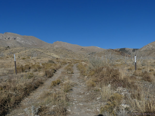
I got to following the road quickly. I didn't really want to camp along it and it was getting late. It dumps into the wash and stays there. I passed between a couple of metal posts with the same "designated route" markers that were other places, these marking an unused bit of road. I hopped up onto it and took it a while, noticing that it is still usable even if the vehicles are staying in the wash. Eventually I noticed I'd gone too far on the road. I meant to turn off at one of the lesser washes before any of that.
The bit of land between the washes hadn't gone high, so I backtracked a little, then headed up a trail and across. I was zooming and missing stepping over a log, went over. I almost caught myself with my poles, then landed smashing my ribs into my camera. It hurt. Not so much, but in ways significant. I took a deep breath and that didn't hurt at all and I continued on.

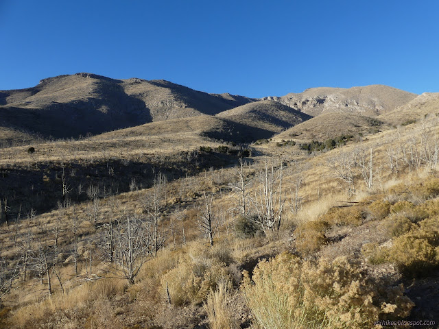
There weren't even much animal trails going up this canyon, which was worrying. Would it have a sudden spot that is impassible? No, but it did get quite thin at one point.

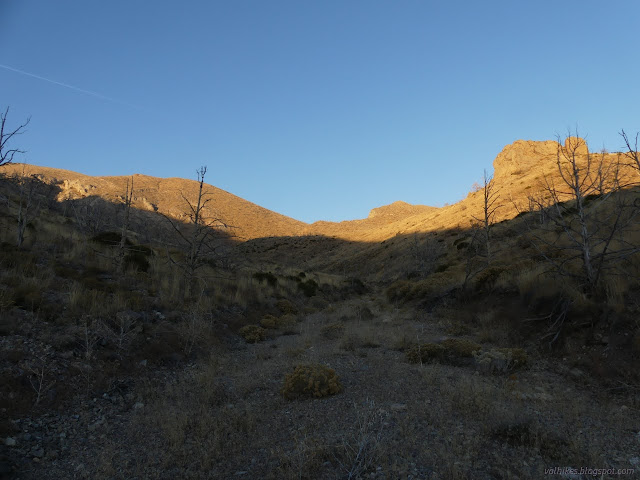
I was looking at the map thinking that the left side would give a flat area sheltered from the evening breezes. Walking in the wash was getting hard. I climbed up the left side to proceed and it got steep. I shouldn't have done that. That was harder. I spotted a flat area and made my way there.
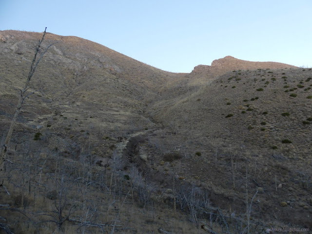
What I settled in was nice enough and the night breezes did come up, but not bad where I was. Not too much worse in other places, either. I saw lots of places to camp high on the other side among the knobs of rock. They had nice slopes to walk up to get to them. They'd have been nice too. It wasn't until hiking out the next morning that I really wished I was on the other side.
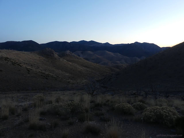
It was another day seeing absolutely no one. I guess they just come in waves.
Same trip, next day ⇒
*the photo album*
©2023,2024 Valerie Norton
Written 8 Jan 2024
Liked this? Interesting? Click the three bars at the top left for the menu to read more or subscribe!


Comments