Easy Chair Crater
Tonopah Field Office BLM
(map link)
One of the larger cinder cones in the volcano field around Lunar Crater is Easy Chair Crater. There is a thin, but smooth enough, road off the scenic backcountry byway past Lunar Crater at the first (from the north) cow water, then keep left at the Y. There is a small dirt lot and a sign for Observation Point Trail. It's a short route from the parking area to the low point of the crater.


My plan was simple: head up to the observation point and then around the edge of the crater. The high point is marked on Peakbagger as "Easy Chair Butte", so I figured I'd tag that when nearby. The crater is particularly asymmetric and the high point is off the edge of it. There is an Earthcache that suggests it is possible this crater grew out of the side of an older one to make it so lopsided, but there's a tendency among the nearby craters to a similar lean.
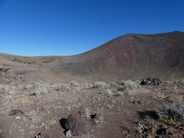
The trail climbs in eroded switchbacks. It doesn't have far to go. The observation point appears to be a large cairn that was cemented together. Maybe it was a little higher platform? Cairn seems like the better description of what is left, but it is moving toward platform.

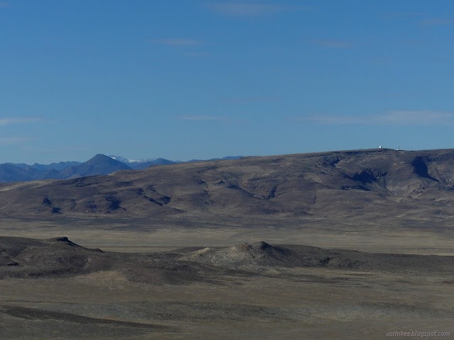
Lunar Crater was not quite so easy to find in the distance as Easy Chair Crater had been from it.

I wanted to go clockwise because it looked like that would be a slightly less steep climb. Hopping off the observation platform/cairn, I headed that way. At first the way is quite easy, but it gets very steep. I hoped the lava bombs mixed in would help give steady places to stand, but they aren't frequent enough. The cinders aren't as shifty as some places, but some slopes just had to be avoided.

There is an Earthcache for this crater as well. The description contains a lot of information about the minerals found as crystals here. Normally, they are just a mm or so, but here they can be quite large and easy to see. The black lava to the north also tends to have quite large crystals.
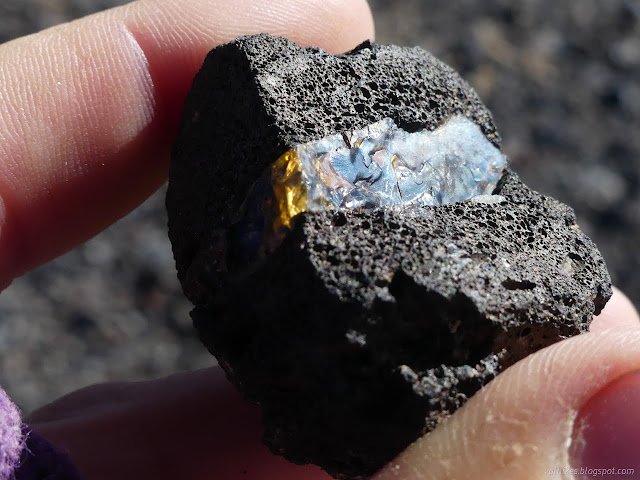


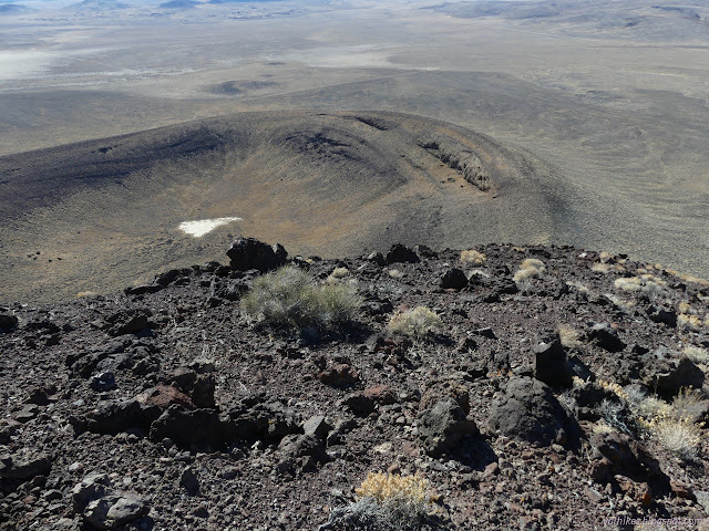
The work is basically done once arrived at the high point around the rim of the crater. There's still a little up, but the rest is gentle slopes, at least until the return downhill.

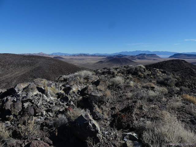

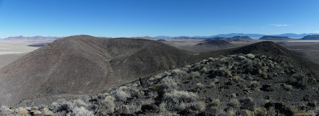
I walked that rolling top to the high point and it was as easy as expected. I was only a little slowed by the fact it's a bit rocky.
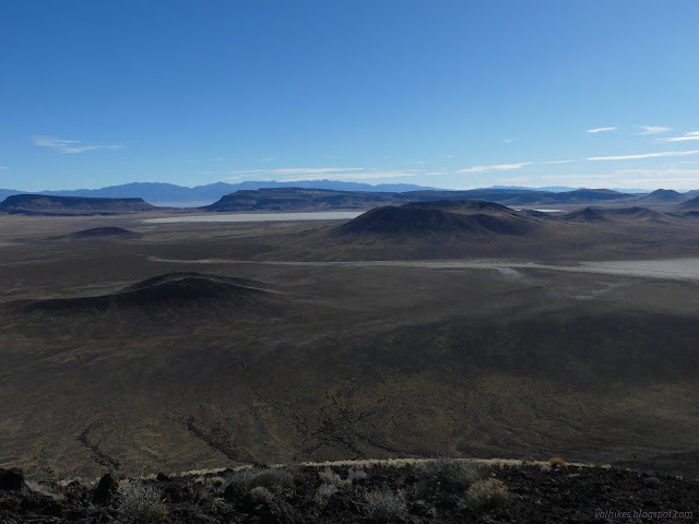


And so I stood at the top!


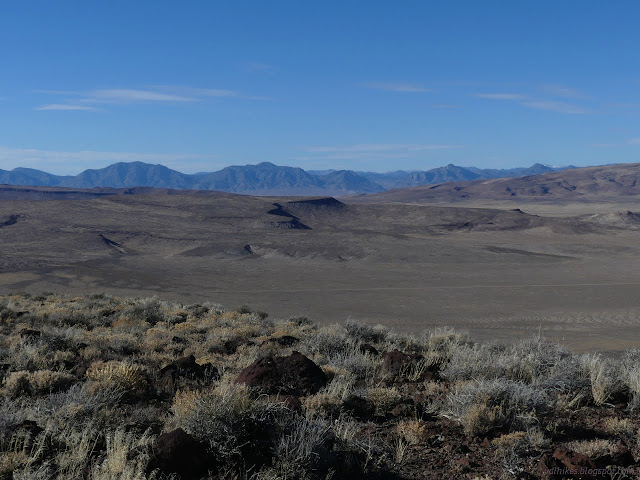
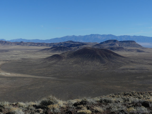
Of course, then I had to go down. Back at the crater rim, the way was indeed steep. It looks like more people go that way, but still not many.


I got back to the observation point and emptied my pockets of crystalline things I'd picked up along the way.
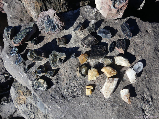
I left my little prizes for the next person to puzzle over and wound back down to the parking area.
*photo album*
©2023,2024 Valerie Norton
Written 29 Jan 2024
Liked this? Interesting? Click the three bars at the top left for the menu to read more or subscribe!


Comments