Little Canyons and Tops by Emigrant Pass
Tonopah Field Office BLM
(map link)
Stopping in the Tonopah Field Office, I found it a lot less tourist directed than Bristlecone (Ely) or Caliente had been. The woman directing the office traffic said she wishes Battle Mountain (their district) had a nice recreation guide like that one from Ely. There isn't. You can find a brochure about a few people buried in the cemetery next to the Clown Hotel, though. She did find someone who could tell me a little about the roads. As long as there hadn't been any big rains recently (no... I think?) the road over Emigrant Pass might be good enough. The road past Coyote Springs would be excellent. There are no developed trails in the area. I started with iffy hoping for a big circle. Emigrant Pass is just one of the many so named because it happened to have an emigrant trail over it. This one happens to be in the Silver Peak Range. If I don't mind the several areas of gravel rubbing the underside of my car, it's good east of the pass. I tried some offset driving, risking the tires more. As the sun was setting and I was just short of the pass, I found a place to camp by a pink hill.

I had a plan for bagging Emigrant Peak, but not yet. First, a little getting to know the place hike heading south. To start, going low and explore the canyons, then high for the return.


I headed south on a bit of vanishing 4x4 road that reaches up into the hills almost to another saddle. (It's the one that allowed my little car access off the sometimes maintained road over Emigrant Pass.) I was aiming to go as far as a creek bed.


I actually went a little past the creek for a view from a small rise.


I followed the creek down. I needed to take care and not go down anything I couldn't go back up since it heads toward a mining area. (This might be called Blanco Mine.) If it was active, I wouldn't be able to continue through. At first, the creek bed is just more gentle desert turning into a gravely wash for easy walking, but it changes quickly and frequently.


The mine area, "open pit mine" on my map, was not particularly great pits or active, so I could walk through. It's very soft, fine clay that appears to erode quickly. People and animal prints made distinct trails across it. Little bright reflections came at me from everywhere from pieces of mica or some other highly reflective mineral.


I got to the road servicing the mine. It's in good repair and seen some visitors. I wasn't going to be one for long, though. I continued south to another wash where I could climb again. It climbs and splits into a couple different options. I was entertaining the idea of taking the one toward the Borax benchmark above, but it would really take a more determined hike to get there from my starting point.


I decided to take the wash that USGS marked as more likely to have water. There certainly wasn't any on the surface, but the dreaded tamarisk popping up here and there suggest there's something semi-reliable underneath. This would get me to the top of the range just north of where it suddenly goes higher.


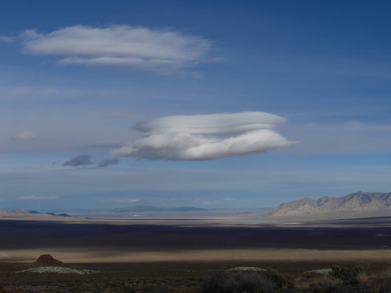
I couldn't help but notice the minor sun out on the ground just north of US-6/US-95. It could only be a molten salt solar collector. It is, in fact, the first commercial solar project of that kind, the Crescent Dunes Solar Energy Project. They're now in operation for nighttime solar. They're having trouble competing against photovoltaic solar projects during the day, but when the molten salt tank is filled, they can generate for up to 10 hours in the dark and there aren't enough batteries yet to compete. Birds beware!

At the top, I found a wide plateau. Travel would be easy, just have to choose which bit of land to wander across.


I wandered upward and north, not quite hitting the nearby high points, then continued to roll my way toward camp.


I chose to go for one last, extra, up and down before getting into camp. This would put me above an area marked all over with prospects on the USGS map. Lumps of odd rocks and long lines like a giant had tilled the land mark the area.


So I arrived back with plenty of time to cook before it got too terribly cold in the evening and ready for a similar plan in the morning when the sun would be once more warming camp directly.
*photo album*
©2023,2024 Valerie Norton
Written 2 Feb 2024
Liked this? Interesting? Click the three bars at the top left for the menu to read more or subscribe!


Comments