Garfield Hills High Point
Stillwater Field Office BLM
(map link)
I headed down the good road from camp to another decaying road to hike the high point of the Garfield Hills. I thought I might go up that road far enough to clear the bit of private property around Garfield Flat, but decided against due to the rocks down the middle and just pulled over to park instead. Was that sand? I got out to verify that yep, I'd done an excellent job of parking, completely clearing the road, and sticking myself into somewhat deep sand. Since getting out of the sand would just mean having to find a new place to park, I decided to leave that task for later. No need for extra steps. I did a pretty good job of not fretting about it during the day as I took off up the road. This day would be road travel past the Bataan Mine, then a bit of the ridge between Mable Mountain and the high point to the day's goal. Then I'd take a slightly shorter route back with more cross country and less mine and road.


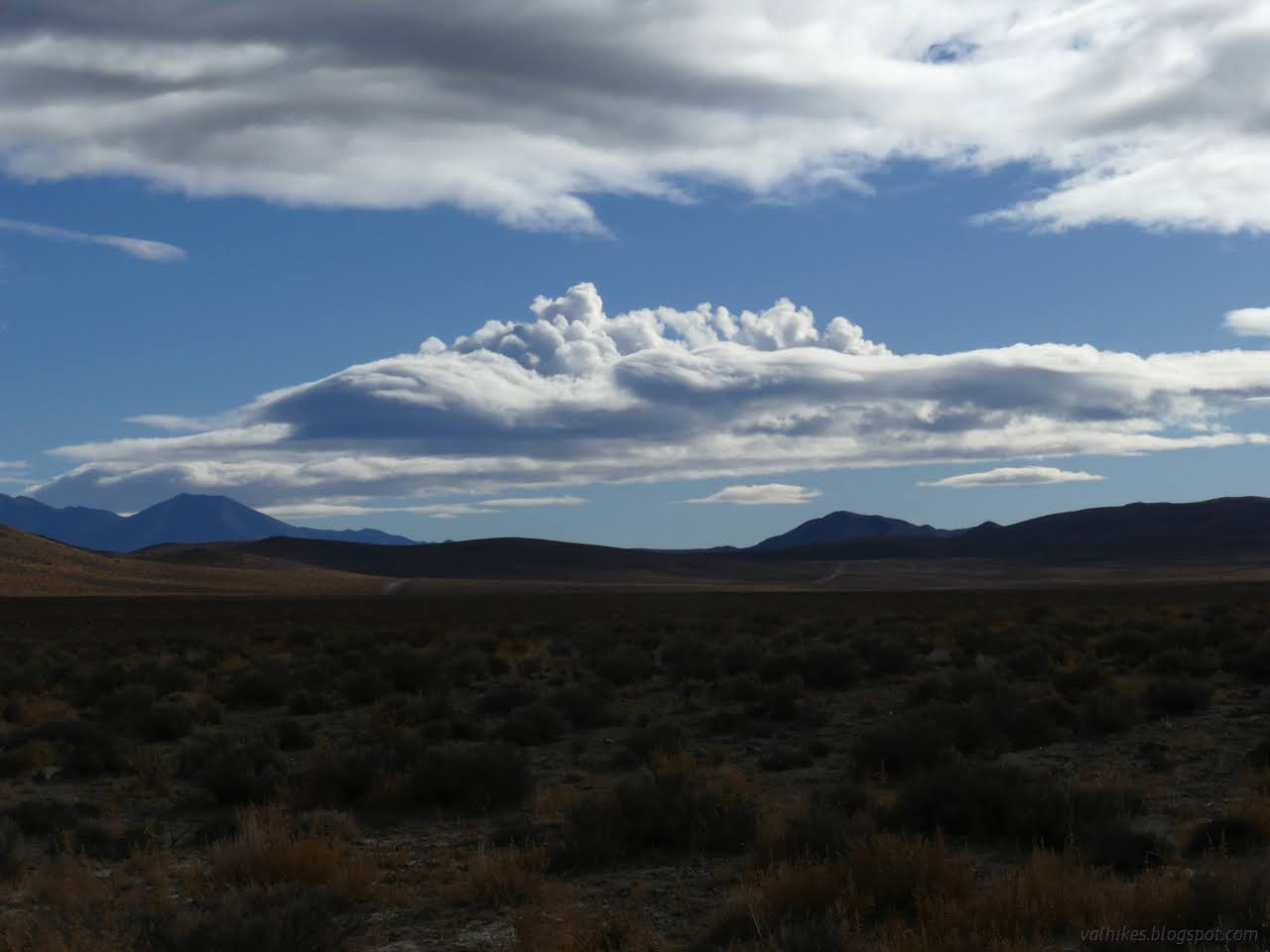
The clouds provided a bit of interest as I crossed the flat. There's almost two miles of it from where I parked.

As the road split for going up to Bataan Mine or around it, I almost missed the junction. That's when I settled that I would go through the mine. Though faint, the road across the wash would have been pretty useable.


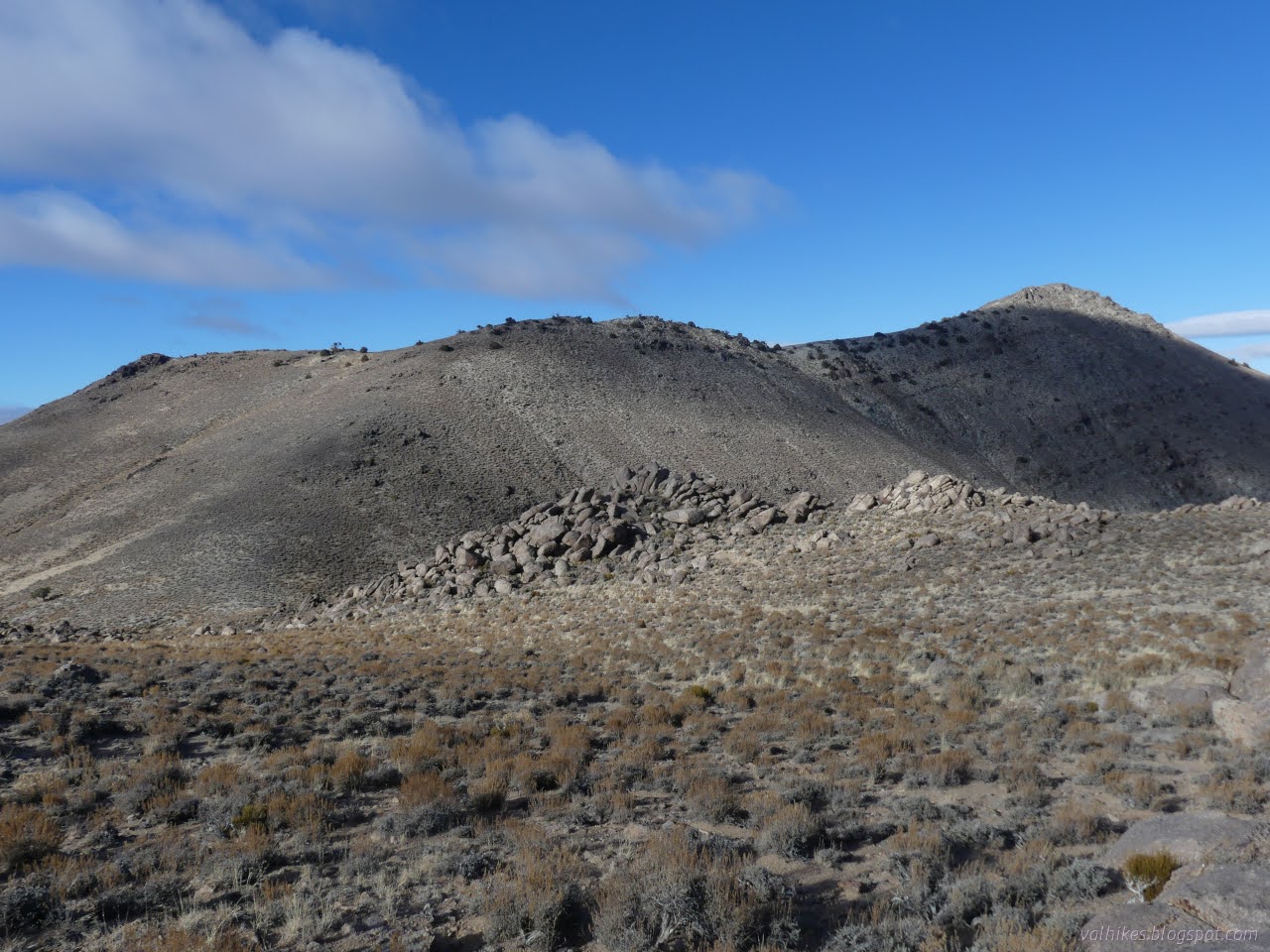
Just short of rejoining the other road, I got to the ridge line and found an extra road compared to what USGS had mapped. Since I was about to start following that ridge, I headed up it. It appears to have been the dump.


I stuck a bit to the south of the ridge as I climbed. There was some sort of somewhat used animal trail there.


I arrived at the top, and on such a beautiful day! Well, there did seem to be a bit of dust in the air mucking up the distance viewing. Is 100 miles of visibility really too much to ask? And it wasn't quite as warm as yesterday, but it was still quite tolerable.


I suppose anything very far was shrouded in clouds anyway. Mount Grant still hadn't come out and I there might be the bottom of Arc Dome, but the range had collected clouds around its top. Admittedly, the clouds were looking very artistic at times. I turned to start down my cross country route. It was quite a bit rougher than the way up with some very steep sections. Oddly, I was finding vague trails again. It's probably the horses.


The rocks changed as I went. I headed up among metamorphic things with interesting patterns and found myself heading down among rounded off granite.


After that first up and down, there's a lot of down. I lost what the horses think is reasonable travel, but the brush isn't dense enough to worry about a lack of trail. I did find a couple cairns on the way, but they were probably the corners of mining claims.


I thought about connecting with a road that services a few prospects, but I didn't quite see it from above and took the ridge a little further instead. It was probably better that way. I dropped off it for the road in the wash soon enough anyway. That was easy to see.


I passed a pair of graders tucked away in another gully surrounded by some deeply red rocks. Below that, the road was beautiful. It wasn't two lanes plus wide like the main road, but it was smooth and free of growth down the middle. At the junction, the good road headed off east along the shortest way to Mina. I went right on decaying road again.

Time to start fretting about the sand again. I grabbed a couple rocks off the road as I finished and dropped them behind the drive tires. It was less than two minutes to get out. It took longer for the engine to warm up than to get out of the trap. My other fret was that there might not be enough unique about this peak after Mable Mountain to warrant the climb, but it did not disappoint. Anyway, that little "hills" high point is a 2000 foot prominence peak!
*photo album*
©2023,2024 Valerie Norton
Written 17 Feb 2024
Liked this? Interesting? Click the three bars at the top left for the menu to read more or subscribe!


Comments