Mable Mountain of the Garfield Hills
Stillwater Field Office BLM
(map link)
If I could figure out a way to make permanent travel work, I'd have turned south to finish wiggling around Nevada. I've not, so I turned north to finish circling Nevada. However, there were still a few days of good weather left, so I stalled out in the Garfield Hills to check them out. Reports for getting to the high point on Peakbagger indicate Garfield Flat Road is rather rough on the east side, where it starts in Mina almost at an NDOT station. I came by the west side, past a tiny NDOT sign stating this road gets "minimal maintenance", and up some wash crossings. It looked like that minimal maintenance was quite recently done. I decided I would go up Mable Mountain. I read it as "Marble" and was a little upset there's no obvious marble like spots on it. There is a marble quarry half a mile down the road from my camp, though.

I considered combining Mable Mountain with the Garfield Hills high point to the east, but any start my car could get me to seemed to have a 14, more likely 15 mile loop. I seemed to only be finishing 10 miles in the light on these short days. I decided to make a long approach to the peak touring through the various mining areas instead. Then it would be so late when I got to the top, I wouldn't even be tempted to wander the ridge higher. Someone had placed geocaches at old buildings in a few places including one at Mable Mine to encourage this sort of thing. I could have easily driven in more than a mile closer if not for the single wheel sized gully crossing the road almost as it starts. Maybe I should have got the shovel out? I got to walking instead.


Having got to the junction with another little road, I turned left to climb some more. These roads definitely get a little use by vehicles. Someone had been through in the last few weeks.


I passed a faint junction for the road out to a weather station, or at least that's what it looks like at first glance. There's an inordinate number of these weather stations dotting the hills. I came to another junction almost as faint and turned down the little used road to a mining area left unnamed on the USGS map. This road hadn't seen more than a traveler or two in many months.


As expected, I came upon a mined area. Almost covered tunnels with failing timbers trying to hold up the ceiling, generally dug out areas, and a building with a commendable number of bookshelves. Or maybe not. There's something funny about those bookshelves. I'd figure it out in a few days, but not yet.


There wasn't all that much to see of that mining area, so I crossed the wash and started a short cross country climb up the hill to the Mable Mine area. That turned out to be a very nice climb. The wild horses have been making it too.


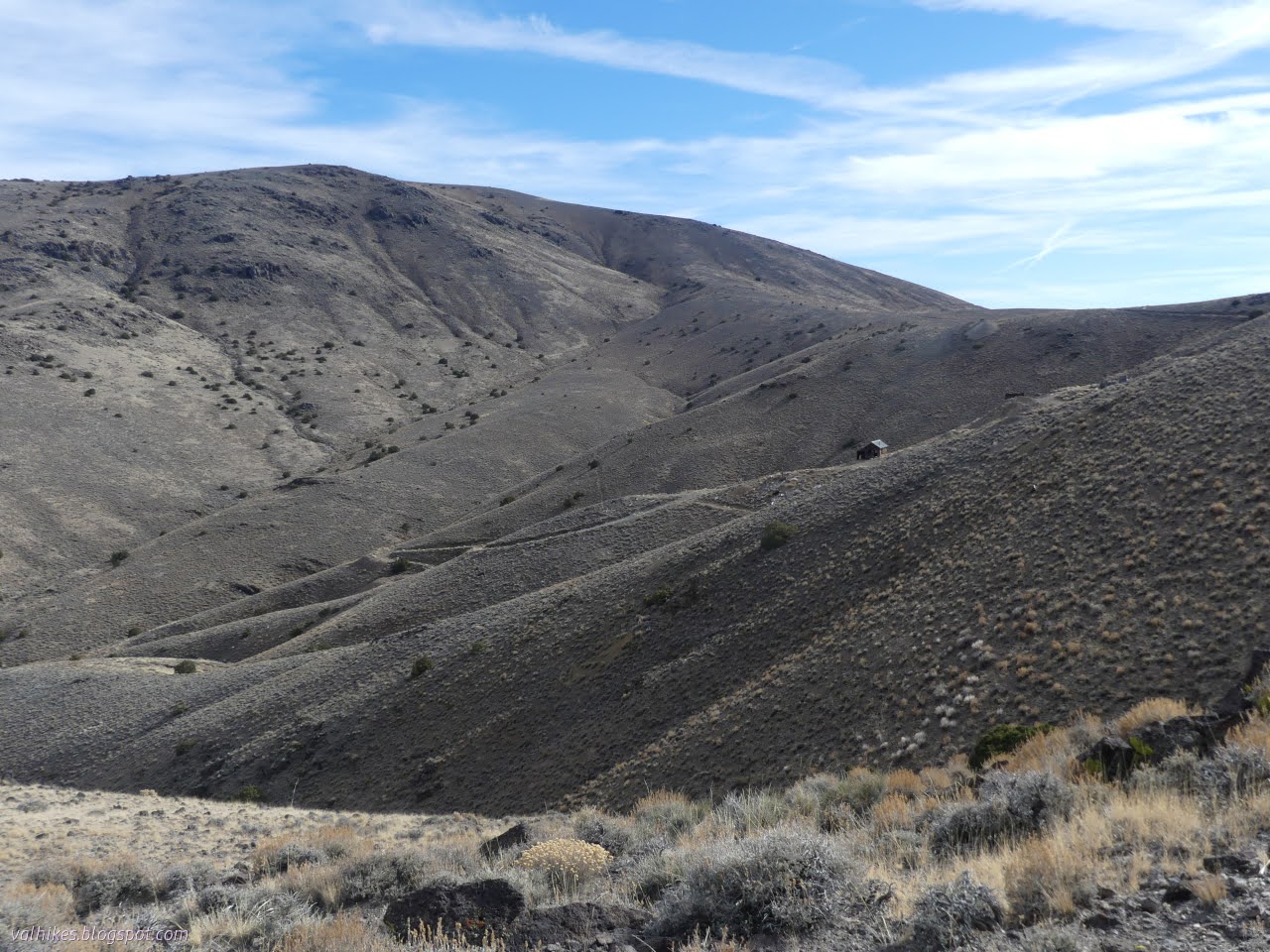
I came to some roads as I climbed. They would take me to Mable Mine, but I decided to go a little more directly along a faint trail. It's probably animal trail. It had a segment in the middle that didn't quite connect just as the going got hard and the footing unstable.


I wandered a bit around the mine area and found the geocache, too. It took a little more than just locating the cabin. I even looked at it a couple times before seeing the sneaky little thing.

And then I headed up the road. Next up, Garfield Mine!


Garfield Mine seemed to have some large boulders collected. Or maybe big rusty barrels. Or perhaps horses, although they really weren't moving. Eventually they did move a bit. It's about time I got to see a bit more than piles of poop.


The road got to climbing a little more, leaving the old mining areas behind.


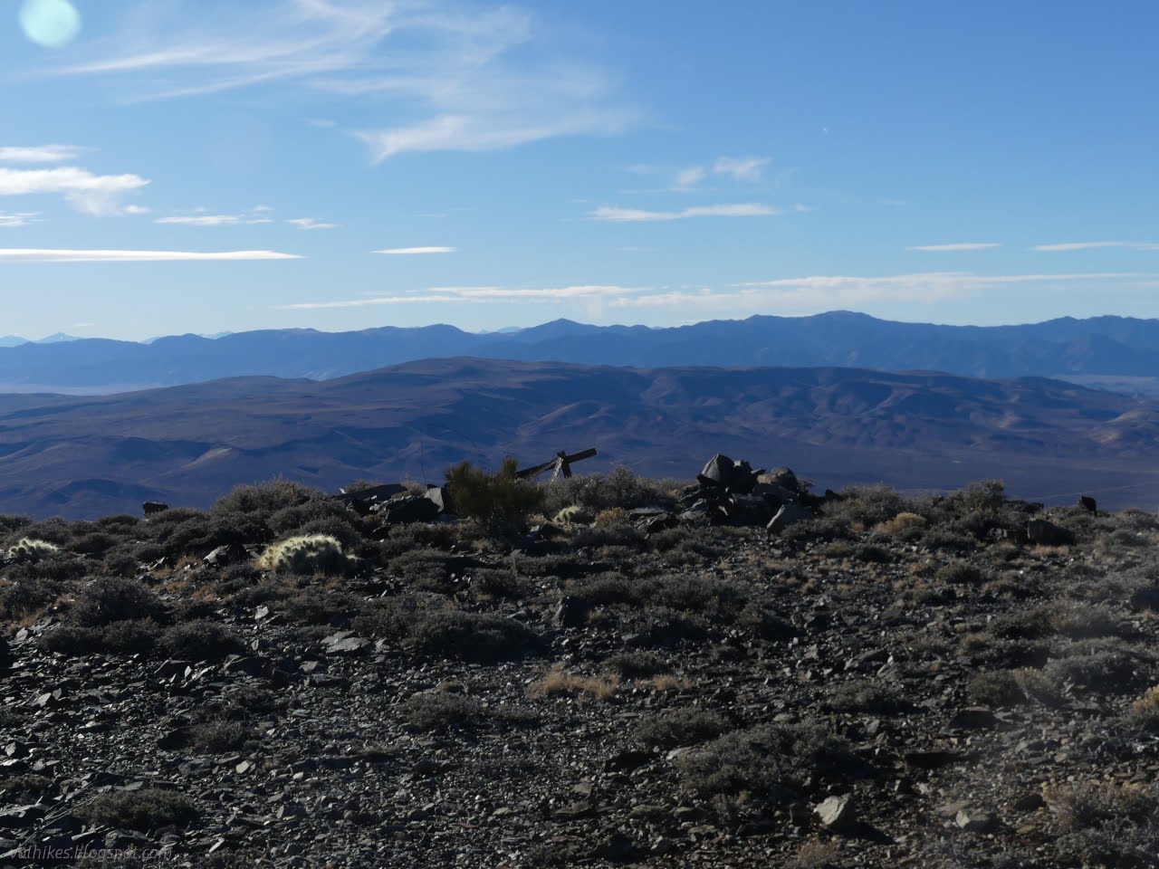
The top of Mable Mountain had a cairn at the high point containing a register. Many said what they drove up to the top. One group seemed to be part of a race that had the top as a check point. They had contributed stickers for a completely different race. (The one they were on at the time may have been less official.) Easy to find in the mess of surveyor trash is the station. I also found the two references.


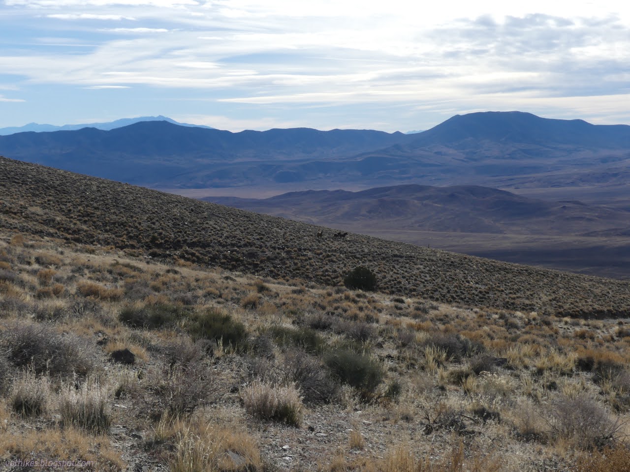
The wind wasn't blasting and it was even a bit warm under the sun. It was plenty warm to try to take in the view.


As desirable as it was to continue on, it was late and time to return to camp as expected. I started down the way I'd finished coming up, then continued down that last road. I picked out a ridge line and when the road left the ridge, I left the road. There were two more "weather stations" along it below that point. I kept to the ridge, mostly, aiming at the road to camp. At least I thought I was aiming there. I seem to have missed slightly and got a minor wash instead.


Shadows had already fallen across camp, but there was still an hour until sunset. It was a nice one. It was good to have a smaller hike with plenty of looking around instead of a rush to try to get a long one done.


*photo album*
©2023,2024 Valerie Norton
Written 15 Feb 2024
Liked this? Interesting? Click the three bars at the top left for the menu to read more or subscribe!


Comments