Hidden Valley, Quest Trail
King Range National Conservation Area (BLM)
Click for rough map. I remember starting and then stopping the GPS to get a track, but there was none for this hike in the GPS.
The second stop after finishing my Lost Coast backpacking trip is actually at the north end of the southern section of the Lost Coast Trail. This is generally not considered at all or considered as the part in Sinkyone Wilderness State Park, but there's actually about 7 miles on BLM land before the 22 miles on state park land. My interest for today is a short nature trail. The box beside the trailhead has both the lovely free maps and a Redwood EdVentures Quest brochure. I've seen these around a few times. It says that if I bring in my Quest Clue to the King Range Office, I can get a prize. Well, I'm already planning to stop there, so I think I very well might.

The quest is like an interpretive trail, but there are no posts with numbers on them. Instead, there are instructions to get to the location of the stop. For the first one, I am to walk to the "second rock-lined open drainage" with the trouble being that I only see one. Um. The instructions for the next stop put a boundary condition on where I should be for the first and the map of the trail on the brochure includes the positions of the stops, so I can get it sufficiently close anyway. The information is told in rhyme. Um, again. I have a bit of a negative emotional reaction to rhyming outside of songs or Shel Silverstein. It's utterly irrational, so I try to let it go.

The next steps are a little easier, although I stop a bit too soon at a thin leaning madrone and have to realize that a few steps further to the large leaning madrone pointing at the mossy oak (just like it says in the brochure) gives a much better view at what they're talking about in the next rhyme. I do wonder how one would do this if they didn't know what a madrone is.


Next stop is beside a stream again. This one is going in a completely different direction and very well may never meet the last before the ocean. There's a junction that is missed in the directions, but the map makes things clear. Keep right and get climbing. I smile at the number of rhyming sins committed in the piece for the fourth stop. Words that are part of the word they are rhyming, words that are spelled the same but don't quite sound the same, and then a hyphen to encourage the reader to adjust the sound of the end of a word that isn't even spelled the same and usually doesn't sound the same either. I have to smile because, for me, the sin is in the rhyming in the first place, so doing it badly actually improves it. I continue winding under the trees and climbing up with the few more stops. The old roads, sometimes used as trail and sometimes shunned by the trail, are not mentioned in any of the brochure. I expect they are from a time of logging.


At the top of the hill, I am introduced to a relative of the madrone, the manzanita. I have to chuckle. Madrones are a relatively recent addition to my plant consciousness, whereas manzanita have "always" been there. Madrones barely get as far south as where I grew up. I look upon the manzanita and ponder the way its leaves form in relation to the various other varieties I have known better. It finally occurs to me to wonder how many varieties of madrone there might be. They all seem the same so far.


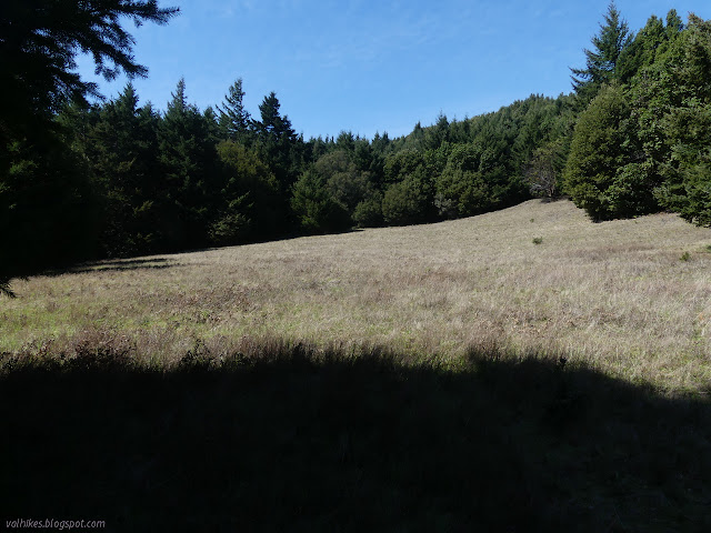
Down the other side, the trees have changed. There's another ocean view beside a woodrat's nest that is a stop on the tour. The trail follows just within the trees near little meadows. It was all meadow in this particular area once, it says, but now the trees grow because there have been fewer fires.

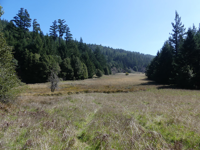
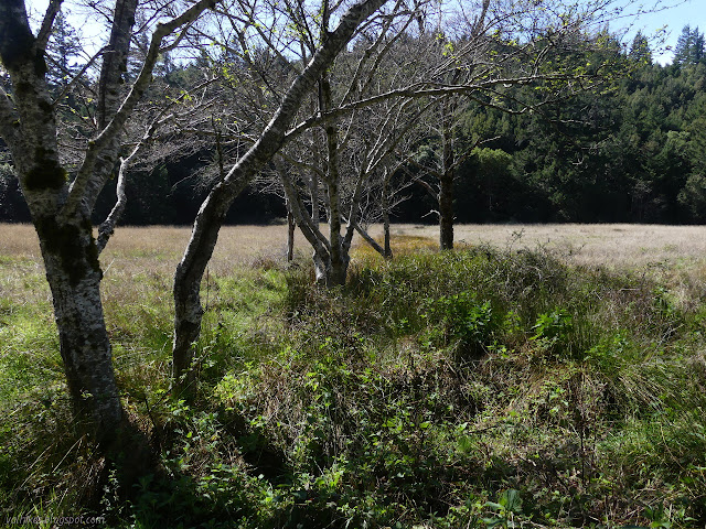
The trail emerges from being generally under the trees into the large meadow it started near, but now far down it. Another junction gets ignored, but the map is helpful if needed. Now is the time for a little pioneering history, for this is the location of an old homestead. Apple trees still grow here. The brochure indicates only the largest is an apple tree, but in their winter nudity, the large one looks a lot like the others near to it.


Off to a patch of meadow where a cluster of apple trees grow and there's more to say about them and the apples that only grow for the bears now. I think they are only still growing where small streams still flow. This stream is headed in a completely different direction from the other two and also may not meet them before plunging into the ocean. It's a little odd to think about over such a small hike that I have encountered such distinct streams.


I leave the apple trees armed with my Quest Clue. It seems like a slightly hard question and I'm not sure all would have it at the end. The trail loops around to join in with the Lost Coast Trail again and I take the only left turn required to get back to the start. I'm tempted to try for the Chemise Mountain instead, but there isn't time before the ranger station closes and I expect I'll come out here for the mountain and more.


It's a strange sort of way to do an interpretive trail, but I think I like it. On the one hand, it leaves room for getting the stops totally wrong and sometimes assumes prior knowledge someone might not have. On the other, it forces the brain to be more engaged with the environment than the hunt for a wooden stick and then reading a description requires. I have a feeling that might make the whole experience more memorable. Now to find out what the prize is.

©2020 Valerie Norton
Written 4 Apr 2020
Liked this? Interesting? Click the three bars at the top left for the menu to read more or subscribe!


Comments