Dry Lagoon and Stone Lagoon
Humboldt Lagoons State Park
Click for map.
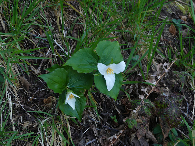
With the skimpy amount of daylight left, I briefly pondered stopping by Trillium Falls again instead of heading to the Dry Lagoon. The trillium do seem to be in bloom now, but when I was there before, it was in the last of the light, and I think I would like to have more light next time. Besides, plans should mean something and the trail doesn't look that long. Various AllTrails users have made complaints that there really isn't any trail at all there, but it's marked on my OpenStreetMap, so I'm pretty sure I can find it.
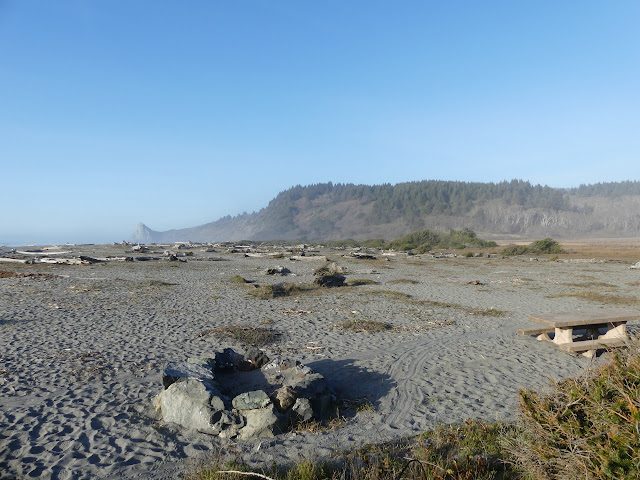
I'm not surprised to see no indication of a trail in the sand among picnic tables. I am surprised to see no mention of it on some sign. There is even a small backpacker camp (reservations required) along it. I just start walking north. The sea churns with little waves to my left and the not quite Dry Lagoon reflects silently to my right. Gradually, there is a common path for footprints in the sand.


There is a general widening of the track as the prints drift eastward to catch where the path climbs up into the hills between Stone Lagoon and the ocean. I knew I could find it! The turn is a little south of where it is marked on my map, but it is close enough that someone paying attention should have no trouble finding it. It's probably 0.4 miles of faith walking to get there, though, so I can't blame those who found trying frustrating. The hill is small, but there are still streams coming down it. It is always a marvel how much water can be found in the smallest of drainages around here.
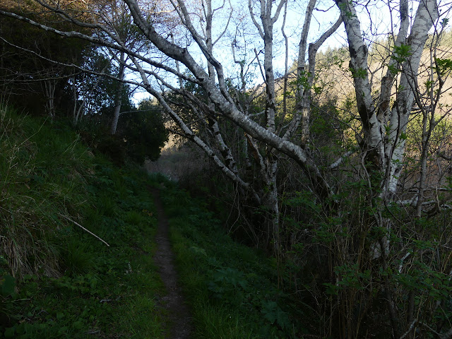
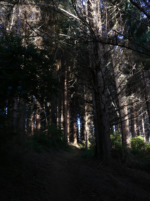
The trees grow thick on the hill. At first, they are Sitka spruce. As the trail curves around to the Stone Lagoon side, there are quite a few deciduous trees and oaks. They get bigger as I get into the less accessible portions of the forest.

The trail makes a way around to the narrow bit between the two hills. My OpenStreetMap shows trail going out to Sharp Point, but what is there looks more like a game trail that has seen some human use. I'm realizing I don't really have enough time to just get to the end of the trail, let along explore down this tiny spur and the one to the camp. Maybe I should be exploring down this one instead of going to the end? But I am feeling some vicious compulsion to go there.


The trail wanders right into the water. The water must be high today. The tides may affect it? I don't think that it should. Proper lagoons are separated from the ocean.

There's some evidence that people have tried to continue around the rest of the way to the beach through the underbrush, but none of it is proper trail. I take the opportunity to turn back, which I should have done quite a bit before. I'll be late back now. I hurry to a jog as much as I can.
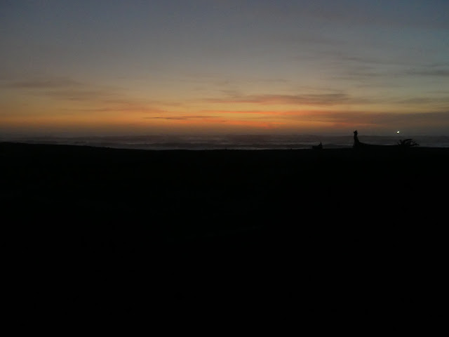
Hurrying along the trail is not so bad, but I can't hurry along the sand. Sand just eats up any energy beyond a certain point. It's not quite dark as I get back. I didn't have enough time to do the trail after all. It was not nearly so short as I was estimating. What I got to is a little over 2.6 miles.
©2020 Valerie Norton
Written 22 Mar 2020
Liked this? Interesting? Click the three bars at the top left for the menu to read more or subscribe!


Comments