Mal Coombs Park
King Range National Conservation Area (BLM)
Click for map.
First stop after the last short day backpacking was Mal Coombs Park for a short look about and to grab a single geocache. The park has picnic tables and playground equipment and grass, but that's not interesting to me. The good stuff is down the steps where there's more tide pooling. Oh, and the Cape Mendocino lighthouse has been relocated to it. I first stopped at the pair of signs at the top of the steps that help identify the animals that might be found down below. They also hold the information I needed to determine the actual coordinates for the geocache. I got a bit antsy about how long it was taking me to sort out the details with the tide coming in and the pools getting less accessible. I could just go down and sort the coordinates after, but that wouldn't be efficient if the coordinates came out down by the beach. Efficiency is something to strive for more in running errands around town, not in poking around a beach side park.

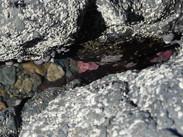
I headed down the steps after getting coordinates that I still wasn't sure were were exactly. The tide pools were in the process of getting flooded by the tide. There were still quite a lot and big ones. It must be a really good place for tide pooling when the tide is low enough.


I headed back up the steps and found the geocache. Of course it wasn't down on the beach. It would wash away frequently if it was there or even among the bits of cliff.

©2020 Valerie Norton
Written 3 Apr 2020
Written 3 Apr 2020
Liked this? Interesting? Click the three bars at the top left for the menu to read more or subscribe!


Comments