Miners Ridge, Fern Canyon, and James Irvine Trail
Prairie Creek Redwoods State Park
Click for map.
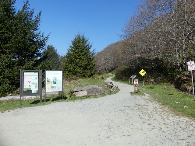
I was thinking I would go out and see the Dry Lagoon in Humboldt State Park, but that's quite short, so I needed something more for the day. I settled on a big loop that would include Fern Canyon since Prairie Creek Redwoods is just a little bit further. Then, because it's much longer, I decided to start there. It's a long dirt road and an $8 day use fee to start on the Fern Canyon end, so I went to park by the Visitor Center for free. Right next to the trailhead, parking is 30 minutes only, but just past it are a couple spaces with no limits except the general no parking in the State Park after 10 PM. Pulling out my gear and grabbing a brochure with map from outside the visitor center, I'm ready to ramble!
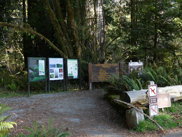
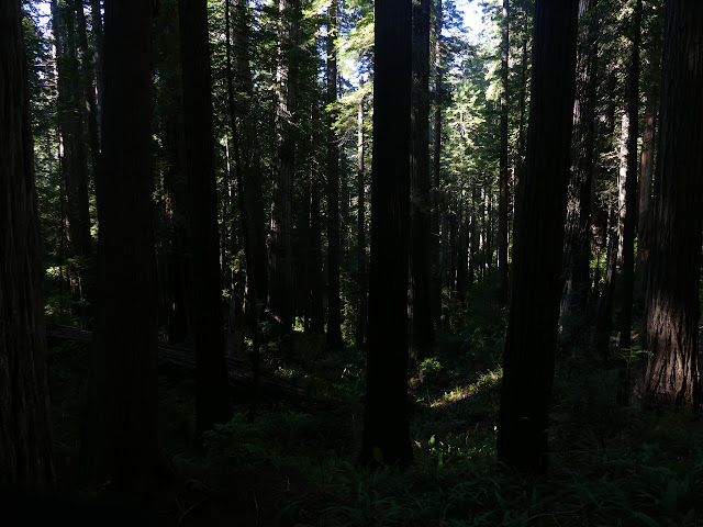
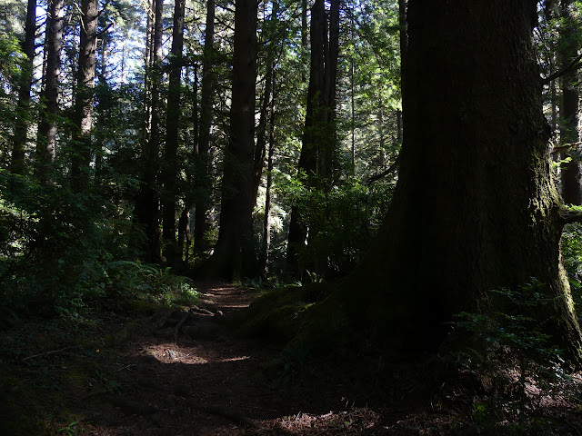
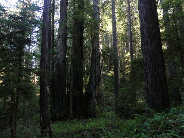
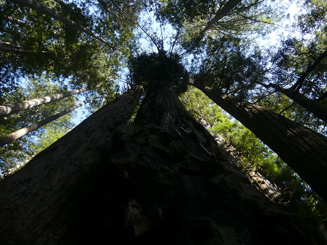
The big trees start instantly. They're particularly big ones. In a few feet, a bridge and boardwalk make the way over a creek and past three more. They are so close and big that the boardwalk is built with cutouts for them. The visitor center has various loops of short and long length for people to experience the trees and the rest of nature on display here. A bridge is out, so the short nature trail itself is not quite a loop today. Not a problem for me as I turn to follow James Irvine deeper into the forest.


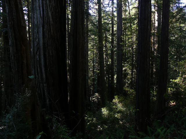
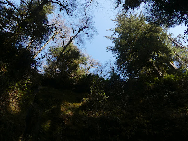
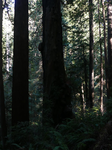
There's more junctions as I follow James Irvine to Miners Ridge. It's nearly a mile and already started to climb a little to finally turn off for Miners Ridge. The trees get a little smaller. They grow bigger faster down by water, so theese may be older. They are certainly still huge. Climbing away from the creek makes it really obvious how open this forest is. I can see quite a distance through the trees. The regrowing clear cuts have nothing like this look and feel, even after a century for those earliest cuts.
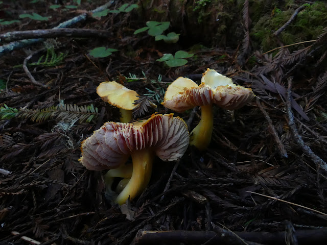
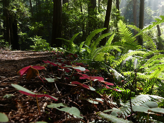
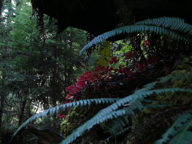
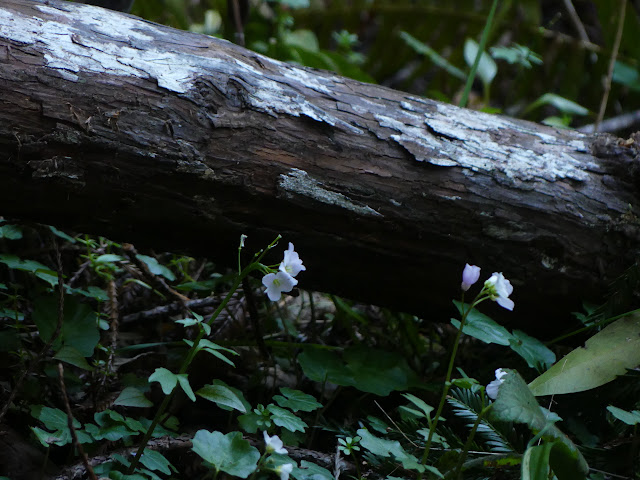
There's flowers starting to come out. It's not a lone early trillium anymore. They're coming into their season. At first, there are just buds. Beautiful big buds.

As I reach the ridge top, I can hear a dull roar. Is it the ocean? It could be traffic, but the highway and parkway are not that consistent. A plane would eventually pass. It must be the waves. I am struck by how silent it is otherwise. I have heard birds, but not more than three in a minute and usually none at all. That seems wrong. Admittedly, it is the wrong time of day for lots of bird song, but none at all?

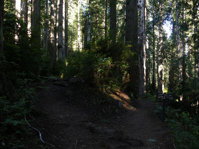
I come among dedicated groves as I come up to Clintonia Trail. This is a route that shortcuts my chosen loop, but I'm not feeling particularly in need of that.

I follow the trail downward. That dull, constant roar has continued. It has to be the waves although it doesn't seem louder particularly.

I spot a stump ahead. Not a splintered stump, sometimes still over 100 feet high, from a tree that found a natural end, but a squared off stump with clefts to allow for springboards. The trail turns to old road behind it and there are more. I don't think the area was clear cut. There's still a bit of space under the trees even if there is another stump. And another. Oh, and there. The trail comes to a bench and then turns down and away from the road which leaves the stumps behind for a time.


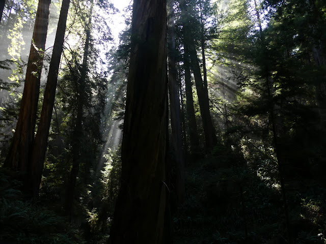
It's getting misty as I get closer to the ocean. Not much. Just enough for a little light magic.
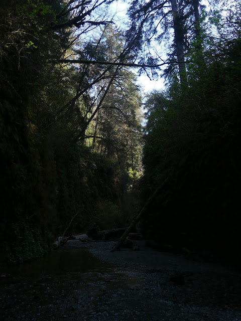
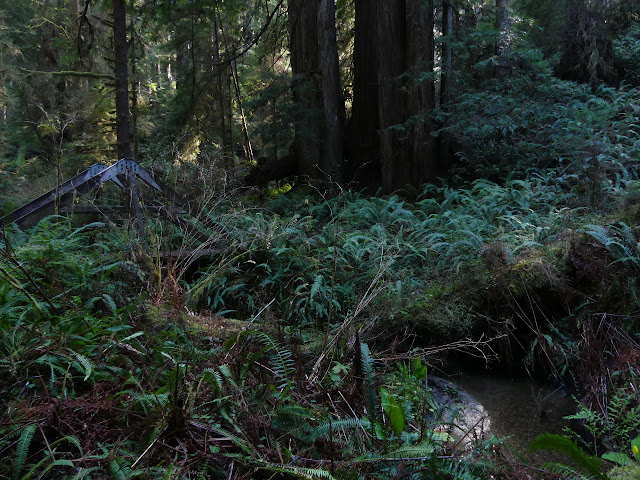
The trail finds another bit of old road and quite frequent stumps, but the redwoods and their remains quickly run out as it gets down into a creek area. They're not too keen on the salt air, so stay a certain distance from the sea. I must be within that distance as the old road turns to maintenance road and passes water tanks and the tsunami evacuation zone.

The trail dumps me out on the main road. I have two choices to get the mile or so to James Irvine and my route back. This road will wiggle around just in the trees above the sand dunes to a parking area. There are two fords and the one just up ahead looks like a shallow and wet slog. A little closer to the beach is a bit of the California Coastal Trail. There's still two creeks to cross, but I'm thinking it will be a nicer walk. I follow the tsunami evacuation route in reverse back to the campground and through to the beach. Water is available in the camp, but I don't need any.
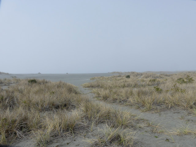
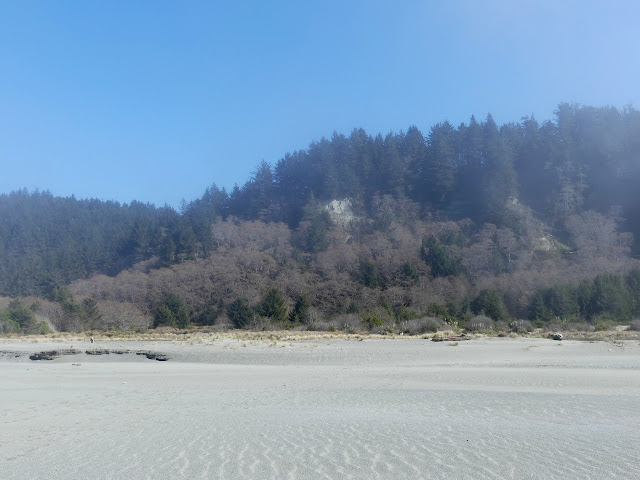
It's still foggy on the beach. It's noon already, it should be burned away! That might be my southern California sensibilities. It is just thick enough to hide all but the barest form of the hills I just came out of. I see no sign of an actual trail along the edge of the dunes, where it is illustrated to be, but I was expecting it would really just be the beach. It's a very big beach.
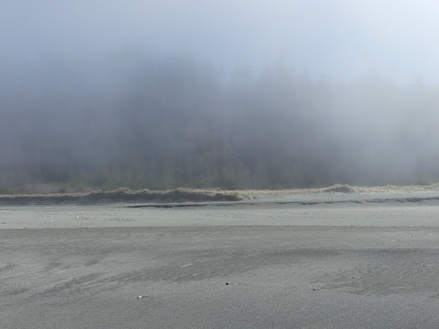
I see where the creek stretches out to the north before dumping into the sea, but I don't see the water. The sand drinks it all up when it is at the level it is today. That makes the crossings very easy. And it is getting brighter.


There's lots of people in the parking lot for this end of the trail. Fern Canyon is quite popular. Things have been filmed here! A dinosaur ate someone in some Jurassic Park thing here! (I've never actually watched a Jurassic Park thing.) The trail wanders along a little way before actually getting to it.
At the canyon, the opening is signed for trail turning up the middle. The James Irvine Trail climbs up the other side to turn inland and keep feet dry. I'll miss a little bit of it, but I'm going up the canyon for that different sort of hike. The seasonal bridges, basically planks, are all gone so there are frequent crossings. People have arranged logs, often quite thin, to sort of have a dry footing across the frequent crossings. I know it would be smarter to just trudge through the shallow crossings, but I lean heavily on my poles and try to balance across the top as I go. I had the approach trail all to myself, but now there's something near a dozen people coming and going within the canyon.


Trail up the side at the far end of the Fern Canyon loop is obvious. I can also see where plenty of people have continued up the canyon. There actually is a visible beaten track in the canyon bottom that gets drastically less as most people leave it. (Or they might enter it from above.) One of my happenstance hiking companions is wondering if the waterfall is up this way. There was a waterfall I was thinking I might go visit, but it's a mile north along the beach. It was on the sign at the trailhead, so I direct them that way without much hope they'll find it. It looked rather scrawny as pictured. They'll have a good hike anyway? They turn to finish the loop along the high, shorter trail and I turn the other way to return to the visitor center.

I pause at the junction for Friendship Ridge. I sort of want to try out that trail, but it's a lot longer. There's a seasonal bridge just ahead that I'm a bit worried about, although less now that I've seen the amount of water further down. Friendship Ridge does offer another route. There seems to have been quite a lot of recent usage if the bridge is a problem.

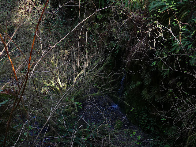
The bridge isn't seasonal. Good thing too. The span it crosses has some rather tall vertical sides.


I pass the other side of Clintonia Trail, the possible shortcut. This would be about the end of climbing along this route, but rather than continue to follow the creek like it did up, the trail starts climbing up toward the ridge. It's actually more climb after the climb might be done.


I find myself starting to treat the grand as common. It's actually a bit of work to maintain the proper reaction of aw for mile after mile of amazing trees. Somehow realizing that I have neglected the trees some helps me come back to appropriate appreciation.


Rejoining with the trail from Miners Ridge, I still have almost a mile back down to the visitor center. I feel like I really missed out on trees when I visited here before and stopped by Trillium Falls, but I was looking for something a bit shorter that day. The patch of old growth redwoods is not so nice as the expanse of old growth redwoods.

I still have enough time to stop by somewhere else short while there is still light. I debate stopping at Trillium Falls again, but I think I'll go to Dry Lagoon as planned. It only looks like a mile or two on the map, so I'll have time. I'll have to come back here for the Rhododendron Trail some time when the namesake is in bloom. I hope it is fully open by then. Right now there is a note on the visitor center door that it is closed.
©2020 Valerie Norton
Written 20 Mar 2020
Liked this? Interesting? Click the three bars at the top left for the menu to read more or subscribe!


Comments