Beith Creek loop
Arcata Community Forest
Click for map.
I headed up to the little local bit of Community Forest for some redwoods and to check if, maybe, the Arcata Ridge Trail goes through yet. There's not much signage visible from the road. You just have to get to the right neighborhood corner and find the steps up. It seems I'm picking a time when quite a lot of people are suddenly coming out to be enveloped in the green at the top of those steps.

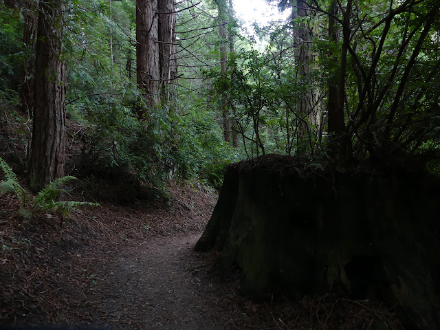
I think I'll go up to the top first and come back around clockwise. Up via trail or road? Well, trail of course. The trees are a little closer that way. Annoyingly, the dog leavings are little tufts of mold everywhere. They actually provide bags for dog walkers near the signs, but the use is probably a little less than half. I have seen plenty of people leave it, plenty pick it up, and a few even bury it. The density of moldy tufts shows there is too much to do anything but pick it up. Their frequency drops off a lot after a quarter mile or so, but they never quite vanish.


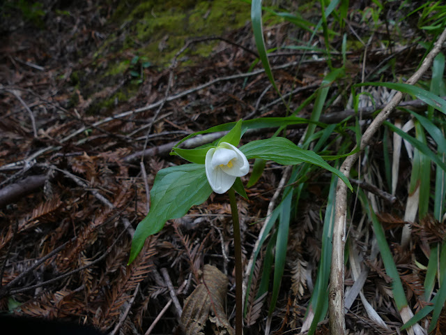
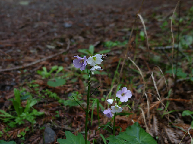
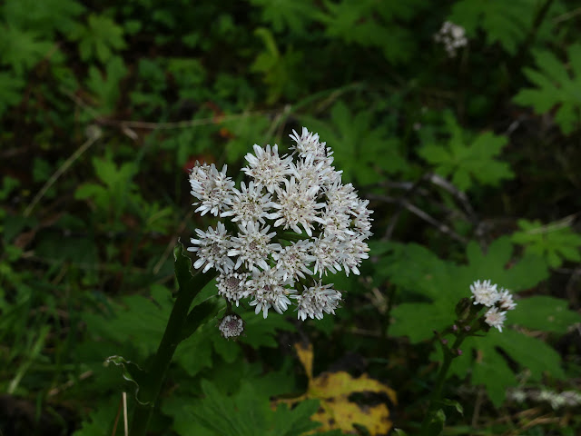
At the top of the loop, I break off to the left following old road with the Arcata Ridge Trail. It is rather flat here and there are some flowers getting started.


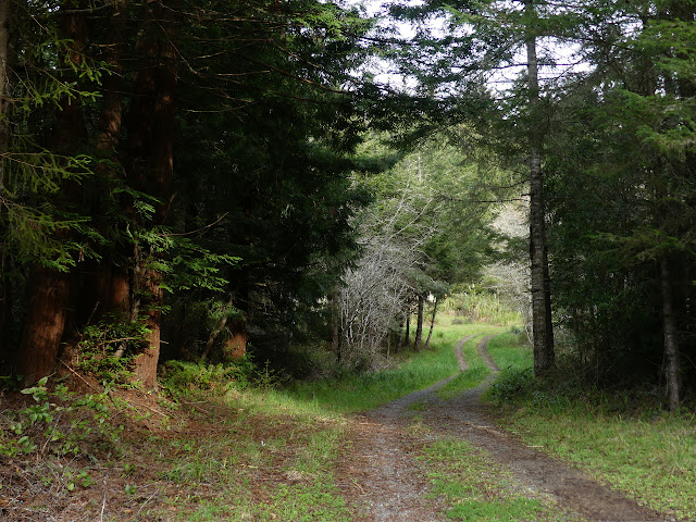
Across the bridge, there is still no trail climbing up to Fickle Hill above. Even the sign that once marked its potential is now gone. I rather suspected it would be so when I saw the map at the start had not yet changed. The bits of Community Forest still do not connect by trail. I head back and decide to finally try a well used unofficial trail that does climb above here. It scampers steeply up between old flats from logging road to what I suspect is marked "service road" further around the Beith Creek loop.


I follow the road a little way up, past a small pond, but it is not what I am looking for, so I follow the trail right back down. Bikes come this way, but it seems far too steep to be a good idea. I stop at one of the old road cuts that seems to have had a few walking along it and explore it a little. There are bearing trees and an old property sign at one end, so I spend a little time looking for the corner. Not finding, but looking.

I get myself back on the official trail and moving around in a circle. There's a little sun, which is probably what brought people out the same time I came. Also, a few more flowers.


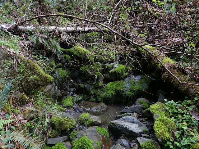
The water in the creeks is a little lower than I've seen it. The crossings are quite easy. The trail itself is still plenty muddy with portions where I need to be careful to keep my feet under me.


Back around to the break of the loop, I head down on the road. The little redwoods are nice and all, but I think some real old growth might be in order.
©2020 Valerie Norton
Written 15 Mar 2020
Liked this? Interesting? Click the three bars at the top left for the menu to read more or subscribe!


Comments