Ten Mile Dunes and Inglenook Fen
MacKerricher State Park
Click for map.
I'm not sure if I'm sneaking into the state park or not because the state consistently fails to mention if a park is free to visit. I tend to assume a state park will cost, but many do not and others only have fees in a few areas. (Hum, maybe I should take note of that. If I have not stated a cost to visit a place, it is because it was free when I went. Most places I go are free.) I cannot find any fees associated with any areas of MacKerricher State Park outside of the campground. There is certainly none from the little parking area at the north end which also accesses the Old Smith Ranch which is part of the Mendocino Land Trust. It's a handy spot to access the Ten Mile Dunes and that's what I'm looking for. I haven't been on dunes for a while. There is also Inglenook Fen, the "only remaining coastal fen in California". What's a fen? It's a peat forming wetland where the water wells up from the ground and it takes thousands of years to form. I have to look that up as I'm from coastal California and apparently this is the only one. I suspect I've bumped into a few spots like that inland.

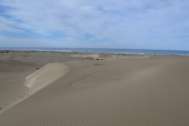
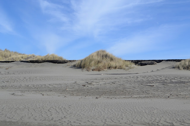
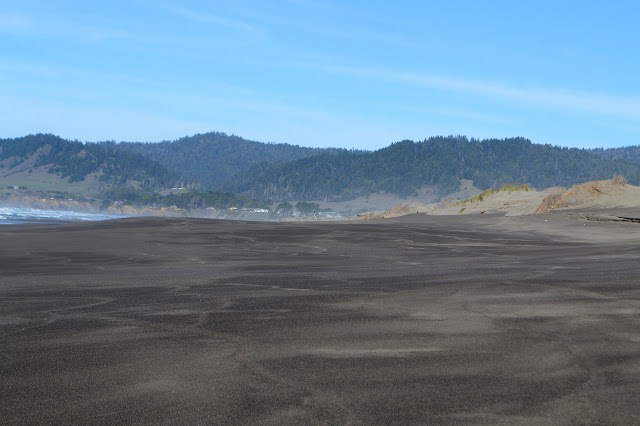
I just want to go out into the dunes, so look for a trail that does that. Steep and a short beast to climb, there is one. One side is full of reeds and the other is just sand. Grand, duney sand. The top is a high point overlooking the expanse of dunes with limited plants holding them down. It's grand. Also, it will be a trudge to get through.


I avoid the vegetation on the way down and as I cross the sand. While it is limited, it is by no means absent. The little primroses have every right to be there as they cluster in otherwise open sand areas. I think that's what they are. They have buddies, too.

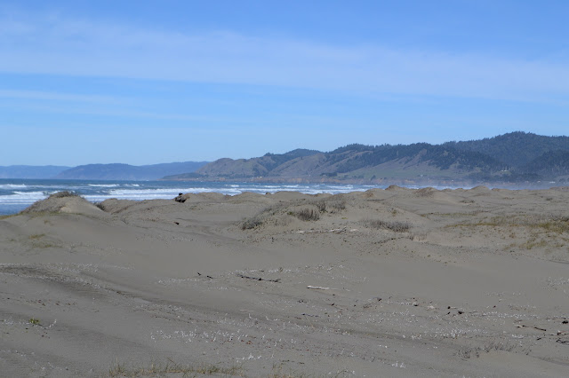
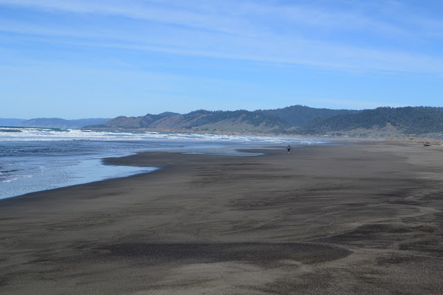
I find myself climbing low slopes, then nearly falling down steep drops. The wind is at my back and it is definitely the prevailing one that pushed these into this shape. I certainly picked the correct direction to wander the dunes. I will return along the beach.
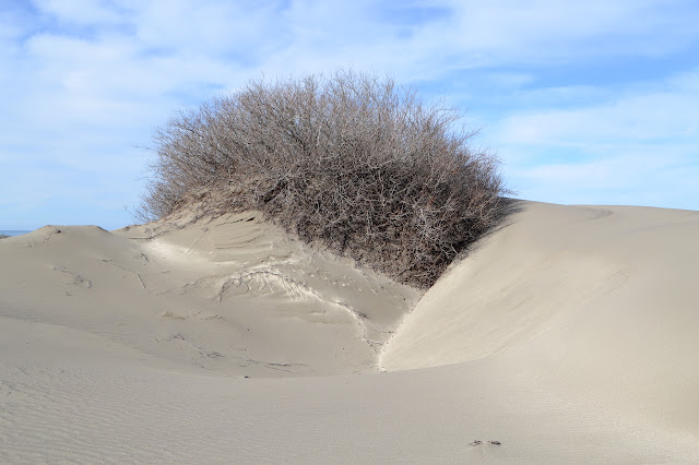
There's not many others around. There seems to be someone shooting photographs of a second before they pick it all up and head off again. The dunes are lined with eucalyptus trees. I suspect there is a neighborhood just behind them and this might even be a burn day. Otherwise, I should like to report the rising pillar of smoke somehow. I keep wandering the dunes until coming to a solid line of them crossing my path.

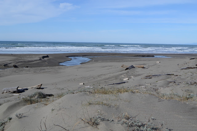
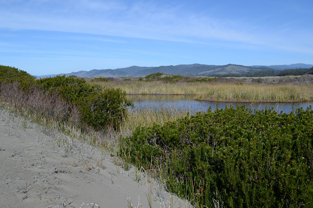
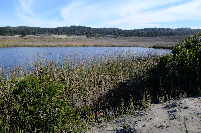
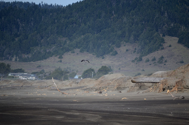
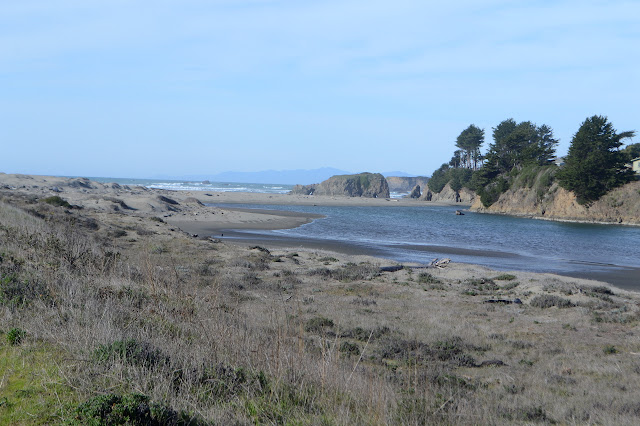
The line of dunes is a place where more plants grow including trees. I suspect water and I can hear it when I get to the top. I can even see a little of it sometimes as I follow it toward the ocean. Further down, there is a crossing choked with logs and I find myself on a road.


Walking is easier along the road, at least until coming to larger Inglenook Creek. It, too, has a crowding of cut bits of wood, but it is not quite choked by it. I have to follow it a little way to find a spot where the logs are sufficiently clustered to walk across the water without getting my feet wet. I have to wonder why so much of this wood appears to be cut rather than broken.

I have to leave the road to actually find the fen. Back to difficult walking across sand watching for the plants that call the area home. For a bit, I follow beside a fence, but most of it is little ups and downs in the loose sand. It has a trend toward climbing.
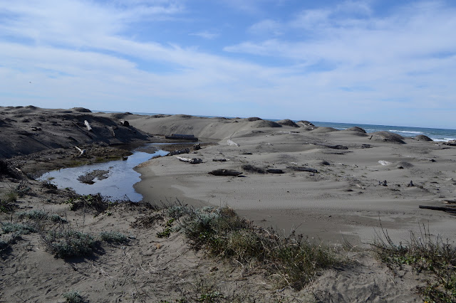
I can't see any sign of the fen even as I am nearly upon it. There is, maybe, a bit more growth along the far side of the dunes that surround the lake below it, but only a little crest of green is visible from outside the area.
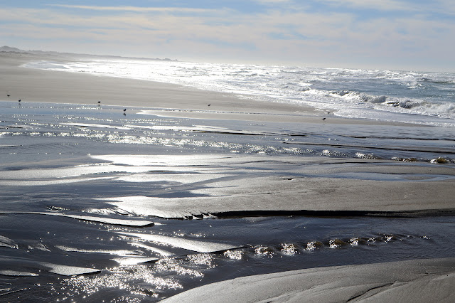
Fen found, I head for the beach and the roar of the waves that always have about five breaking at once. Tsunami hazard zone, warn the signs somewhere above where I parked. If there were more signs at the parking area, there would also be one warning about rogue waves. Never turn your back on the ocean! How frequent are they? How come we apparently don't have to worry about them a few hundred miles south? Wikipedia talks about an open ocean phenomenon, but there are a few lighthouses that have had very bad moments.


Inglenook Creek is a little bit of a challenge to cross, but it spreads out wide. I jump between the sand islands. They hold well and I don't feel any water coming through. The wind and sun are leaving me a little on the chilled side, so I really don't want to be wet.

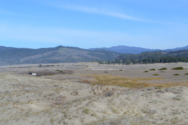
Getting close to Ten Mile River again, I go looking for the bit of the Haul Road that is marked on my map as trail back to the car. It's not there. Well, it's probably just under the sand and there's an old gate near it, but there's not really any sign of the road itself. Once over the dunes a bit and back to the side of the river, there's the road like it was always there.


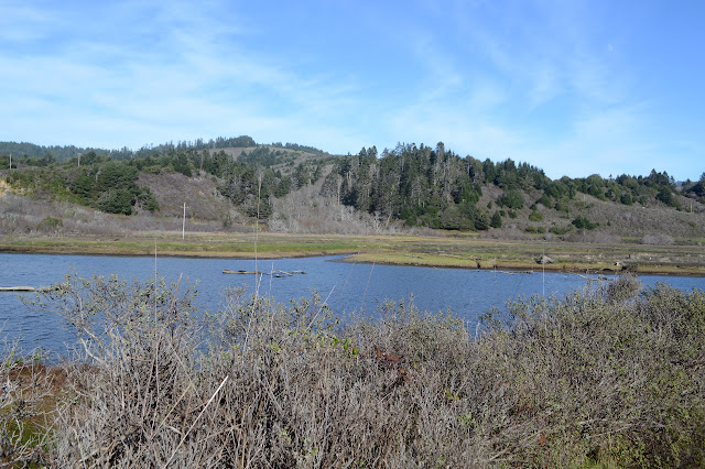
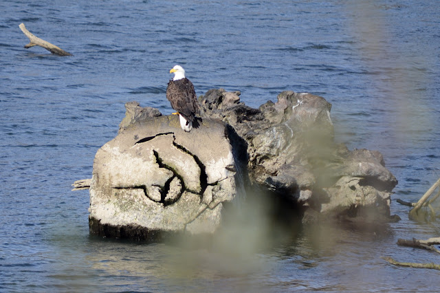
The road doesn't go back up to the parking. It wanders under the bridge to the mentioned land trust land and a spot to watch that same bald eagle with another.

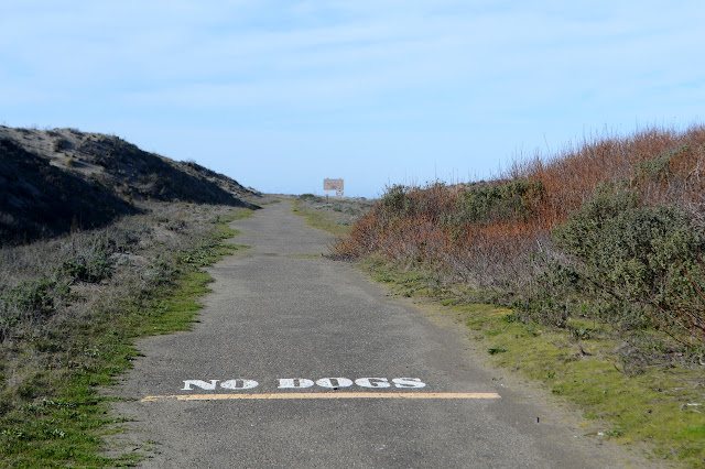
Just before the bridge, there is a steep trail that connects up to the end of the ADA path. It is much steeper than reasonable for a trail to start, but trimmed and otherwise indicates it is supposed to be in other spots. It's not too steep.
©2020 Valerie Norton
Written 2 Mar 2020
Liked this? Interesting? Click the three bars at the top left for the menu to read more or subscribe!


Comments