Bruhel Point
Caltrans vista point
Click for location.
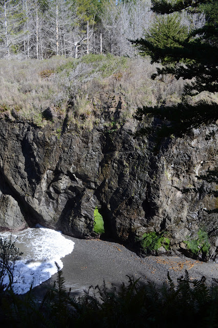
The unassuming sign for the parking just says "vista point" and points at a block of parking spaces on the side of CA-1, but there's much more than that. Signs beside the parking help to point out how much more. One talks about the small wetland. It was this that drew the interest to purchase the parcel for preservation in the first place. One talks about the ocean preserve off the edge of the cliffs. The oldest illustrates the trails. One is accessible with benches every 100 feet, which is great except that it doesn't really help to see more to go parallel to the cliff. This trail rates a "meh" in my book. The other trail trots right on down to a bench up upon those cliffs looking out over that marine preserve. This one is absolutely brilliant. There are also more trails that are dirt, but as this is a wetland and I haven't got any Wellies, I didn't get very far on the one that loops around to the end of the accessible trail.


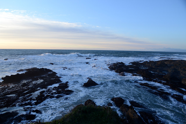


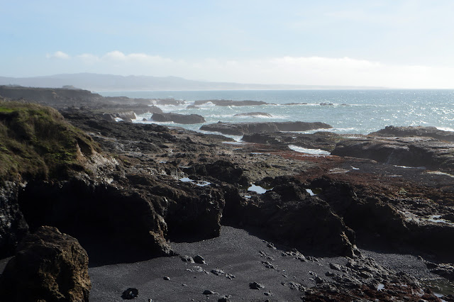
I have to admit I stopped by here on a few occasions. I wanted to see it with the different tides and I looked around a little more on some wanderings down to the top of the short cliff. It's just quite brilliant.
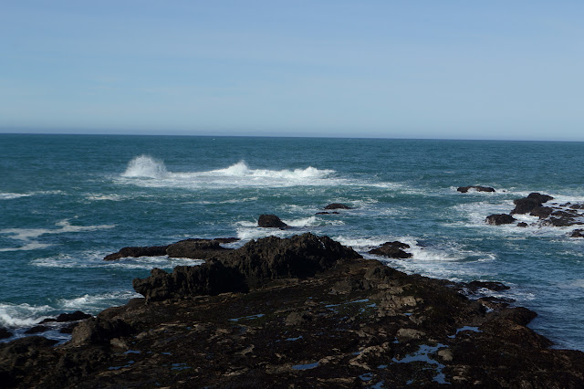

A fellow was on the bench trying to spot whales. I forget which part of the year the migrate close to the shore, but there are certainly times to see them. I decided to try to get a better look at the tide pools. The upper ones were less lively and not as interesting, but the kelp made it too slick to continue down to the lower ones. There were still lots of crabs to watch and be watched by. They were all quite aware of me.


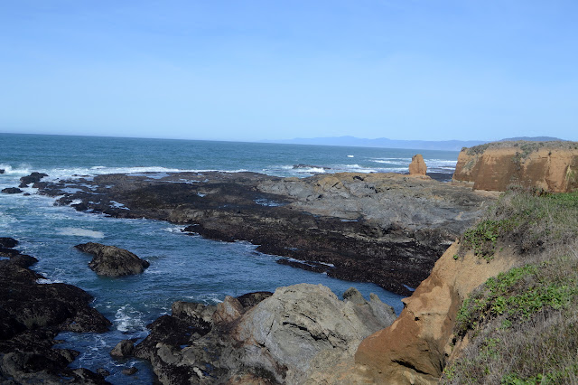
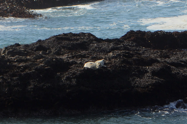
Since I couldn't get as far down the tide pools as I wanted, I wandered around to the inlet. Across the way, shapes were moving on the rocks. Seals! And they were quite aware of me just like the crabs. If they hadn't moved, I might not have even noticed the harbor seals.
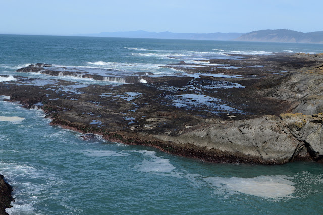

I continued along the edge of the inlet. The trail was not so muddy. Water played its way down the side. That is probably what makes the spot weaker. Then again, just south of here is a large fault to weaken the rocks, so there could be a smaller one here.
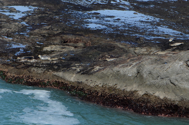
There were more seals both in the water and on the rocks by the bench. The fellow interested in the whales felt they were too common. They can be found in the harbor all the time. These close to the bench were not worried to see me moving.


All that is at just a random vista point.
©2020 Valerie Norton
Written 5 Mar 2020
Liked this? Interesting? Click the three bars at the top left for the menu to read more or subscribe!


Comments