Mad River Bluffs and Hammond Trail
McKinleyville Land Trust
Click for map.
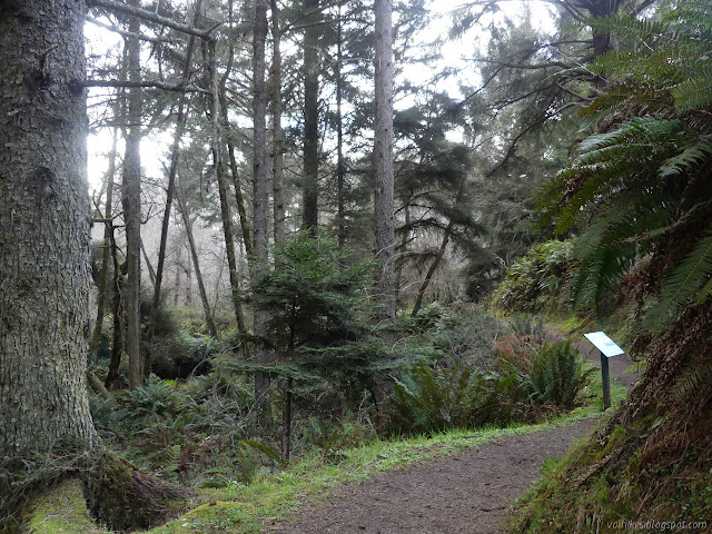
I headed out to the Hammond Trail to try out one of the new Redwood Edventures bike Quests. I didn't come out with my bike or anything. That went away when I couldn't find the space to keep it. It is perfectly alright to walk it or even ride it on a horse, as it happens. It was really an excuse to come out to the Mad River Bluffs once more before crossing Hiller Park to the start, then once more after finishing. I quite like the bluff.

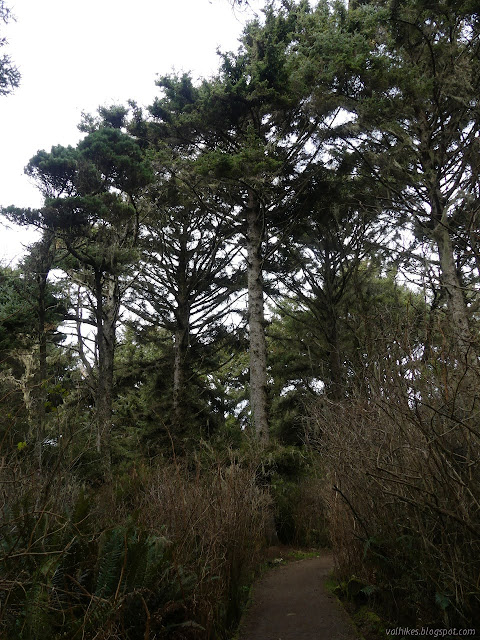
I proceeded through the bluff area and across Hiller Park to the start of the quest along the Hammond Trail. I was only accosted by one dog in the park where dogs are supposed to be "securely leashed" and virtually none are, but that dog really made it count. She jumped up on my and tried to push me over from the back, from the sides, from the front over and over and over again. The owners shouted at him, but made no move to stop 50 pounds of mature pitbull from trying to push over a complete stranger for 5 minutes, including trying to push this stranger back when leaving the area. The dog seemed more encouraged than discouraged by the shouting. Are they all called Peanut or was this the same one as before? Anyway, other than getting accosted by dogs called Peanut, Hiller is a nice park.
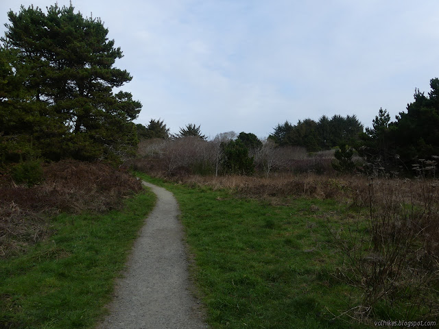
Once on the bike path, I turned north. The quest starts at the end of the parking lot. I expected to see something about it in the nearly empty kiosk, at least a QR code for starting it since these new bike ones have that sort of thing, but there was nothing. My data connection seemed to be halfway working this time, but I already had the quest downloaded. I was ready to go once I had the right Hammond Trail based bike quest loaded up.
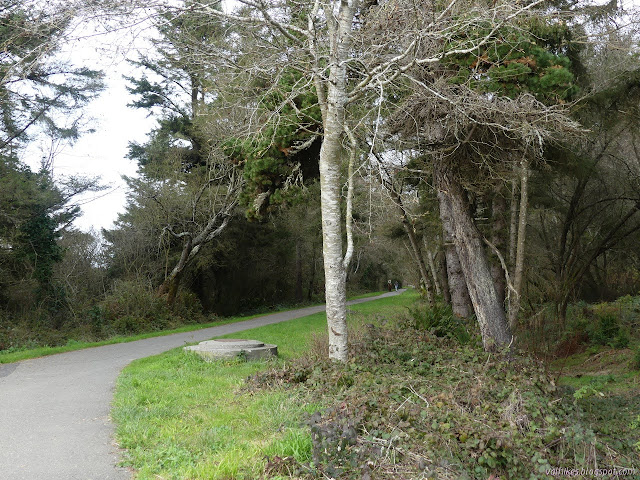
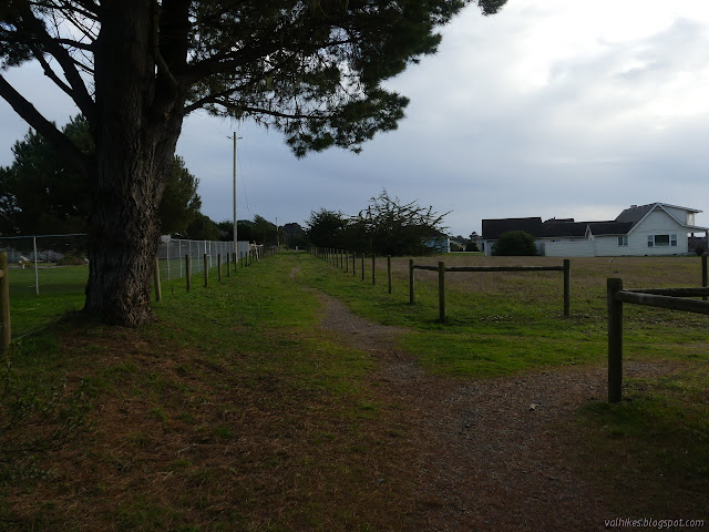
Hammond Trail follows the path of the Hammond Railroad. Past the park, it passes between houses, but one doesn't know it without trying some of the informal use trails up the side of the 10 foot berm on either side. The berm is wide and topped with trees making it a tall green corridor up until it crosses a street. The quest comments that the stately homes with their stately guest houses visible are called "the castles" before returning to things more to do with nature.

After crossing the road, the houses are visible, but only on one side. The trail comes to more bluff above the Mad River. There's benches to watch the potential fresh water and salt water animals that mix where the fresh water and salt water mix. Seals? Otters? Just ducks for me. The brambles are cut back to allow whatever might be there to be visible from the benches.

The paved trail turns east to travel through a neighborhood then next to the freeway. My pick is to continue down the gravel. The quest writer also preferred this, so I got to continue as I liked. There are a couple trails down to the beach beside the river, such as it is. A short segment of old rail has been kept to show what it was like. The wooden railroad ties look rough, whether they started that way or weathered to it.


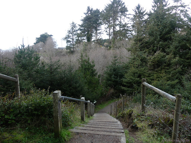
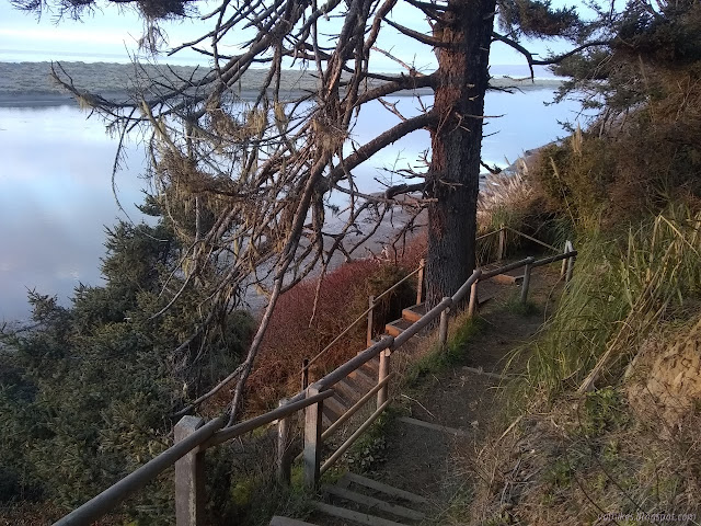
The quest ends just as the trail turns to climb. The train probably continued on over a trestle because there is no way it would have made the corners the trail takes. Perhaps it is the trestle that burned bringing an end to this part of the railroad. I had a look down the path to the water briefly, then turned to climb. There is a trail option that drops down into creek and back up before getting stuck beside the freeway and wandering through more neighborhood. I wanted to take that little bit more of trail.

The bikes and horses are not allowed down the last bit of trail. There is a spur to the neighborhood streets to give them somewhere to go instead. There is a small bike rack if bicyclists would like to visit it anyway.


I got to the far side where there is another bike rack for the bicyclists to store their bikes while they wander through the creek. There is a little more of slight nature before the Hammond Trail hits more streets, but I turned around. I retraced my way along the creek rather than going back via the Hammond Trail.
I took a look down the spur into the neighborhood before continuing around on my same path.

I decided to pop down the little trail and follow the river beach to the other trail. The tide was a bit out and there was plenty of room, but I was worried about how muddy it was. There are even a few little streamlets coming along out of the hills between the two spots. It did take some careful stepping to keep my feet beneath me and not too buried in goop.
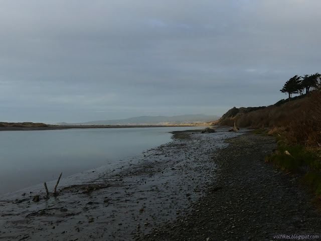

While avoiding the more puddled bits, I marveled at how many barnacles live on the items beached on the bank. The salt levels must change drastically from summer to winter. Admittedly, the last winter wasn't that good for this river.

I made it to the other entry without any horrible slips. I had a brief thought about continuing, but it really doesn't look possible at first glance and I didn't give it more than that. I followed along beside the houses and then through the high berms. At the edge of the park, I made a turn to travel around the wastewater ponds, full of happy ducks and geese, to make a longer route through the Mad River Bluffs. It is squeezed between a stream and chain link fence for a whil, which isn't very nice, but then finally leaves the fence for the cozy trails. I followed the smaller, cozier trails along the edge. The twist a bit more, have low overhead spots as they cut through the bushes and lookout points. I stopped at the lookouts to, well, lookout. And catch the sunset.


I arrived back without difficulty, except for the few logs to step over and the low bridges to duck under. It was getting a little dim when I took off.
©2021 Valerie Norton
Written 15 Feb 2021
Liked this? Interesting? Click the three bars at the top left for the menu to read more or subscribe!


Comments