Redwood EdVenture Quest at Trinidad Head
California Coastal National Monument, BLM
Click for map.
I decided I would have some small adventures on some Trinidad Coastal Land Trust properties, but first another round at Trinidad Head. My first visit was just 24 days after the addition of five mainland units including the head. I actually managed to visit the monument twice in the first month of these additions without knowing it. For the head, the monument is actually just the southern tip occupied by the lighthouse and the trail only barely enters its area at a viewing platform, so the visit is rather technical. I'll have to try to better it some first Saturday of the month when the gate is supposed to open to allow visits to the actual lighthouse. Just over four years later, I could still not know there is a national monument here. The only mention of it seems to be in the Redwood EdVentures Quest for Trinity Head. (Incidentally, there is also a Junior Ranger Program and an information brochure aimed at adults.) I parked in the large, dirt lot on the isthmus, which is actually part of Trinidad State Beach, and crossed to the green southeast corner where steps and a sign mark the start of the trail.

At the top, I diverted to overlook the east side where the Little Head dramatically overlooks the harbor before starting up. I also wanted a spot out of the wind to try to get into clothing that better protects from that sort of weather. I found a sign at the junction encouraging one way travel. Fortunately, the direction matches the one desired by the quest because it might be rather hard to follow it in reverse. It quickly directs to the islands and rocks visible off the state beach. The majority of the California Coastal National Monument are the combined area of every rock that breaks the surface of the ocean at mean high tide standing within twelve nautical miles of the coast that happens to be owned and controlled by the federal government. Oh, and one of the larger ones in view, Pewetole Island, happens to have a blow hole. The tide has to be at the right level and it was not.

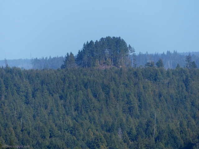
The very green headland actually offers quite a bit of protection from the wind where the trees and shrubs haven't been cut away for a view point. There's quite a lot of pruning that must go into keeping the trail open and comfortable for walking.

The quest said to ignore the first spur along the way, but I wandered down it to the bench at the end. People have tried to push further, but that is where it ends.

The quest does encourage going out along the second spur trail, which travels up to a minor high point. It's quite a point, but the wind was making it hard to stand. There's a lot of edge to stay back from when one is feeling just a bit unsteady in the gale.


Back down, there's one more very short spur. You're supposed to be able to see the top of the lighthouse, or at least the water tower for the lighthouse, from it. There's an observation platform to help you get up higher to see over the vegetation. I couldn't see it. Just lots of vegetation. Meanwhile, I was noticing the spruces had changed. I found some cones and confirmed: they had become Douglas firs, ready to pretend to be a few different things.

After failing to properly view the mainland portion of the monument again, I decided to tag the top of the head again simply because my Peakbagger profile is looking very sparse for this year. (There are a total of none so far.) There's an Earthscope measuring the exact location of the land as it moves with each earthquake and stress on one side of a fence, but the top is around the other side where there is parking for workers. I tagged it and continued down and around.


Then I headed down, attempting to take in the rugged coastline to the south now on display. It really is something. Oh, and finished off the quest and got my answer.


There actually is one sign indicating that there is a national monument here. The sign on the gate to the lighthouse says "California Coastal National Monument Trinidad Head Lighthouse". Below it is a second indicating when it is open. The first Saturday.
©2021 Valerie Norton
Written 26 Feb 2021
Liked this? Interesting? Click the three bars at the top left for the menu to read more or subscribe!


Comments
Adam
image clipping
https://clippingexpertasia.com
Best Regards,
BOB
clipping path specialists