Old Arcata paths
Jacoby Creek Gannon Slough Wildlife Area
Click for map.
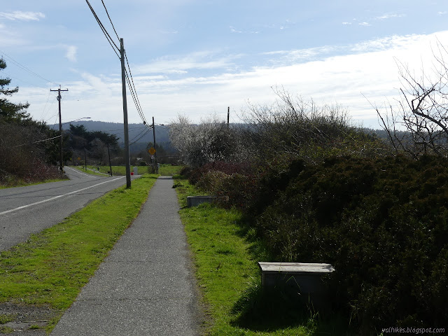
There's a number of paths about, including some along the side of Old Arcata Road. One side is the city's wildlife area, but the other does happen to be the major artery alternative to US-101, particularly for anyone who lives somewhere between Arcata and Eureka. It's a bit of a busy street, but the paths are set back from the road.


The paths do not actually go into the wildlife area. That entry is by permit only. Cows get to go there, but not the general public. There are some restoration efforts. I saw that part of Jacoby Creek has been returned to its original channel. Besides the cows, fish and birds also get to enjoy the area, which is the main point.


The path runs out when it hits Bayside. Annoyingly, there's not sidewalks through the town and I don't recall there being paths on the far side. I turned around. I had not crossed Jacoby Creek, but there are a couple more coming down the hills.


Toward the north end, there is a bench to sit and watch the cows. Presumably there's other things to watch too. I saw a hawk along the way, although they usually seem to turn out to be norther harriers when I actually try to identify them. I tend to think "red tail" then "but the markings seem wrong" and then "is that even the right wing shape?" This one had the wrong sort of underside to its wings too.

The path continues a little past the traffic circle, but I didn't go quite so far.

©2021 Valerie Norton
Written 22 Feb 2021
Liked this? Interesting? Click the three bars at the top left for the menu to read more or subscribe!


Comments