Freshwater Farms Reserve
Northcoast Regional Land Trust
Click for map.
I set out to hike the McKay Community Forest, some 1000 acres the City of Eureka purchased in 2014, but found the sign at the entry on Harris (at the north end) to state in no uncertain terms that I wasn't to enter. "Appropriate access points and trails have not been developed." The first trails are scheduled to open in "early 2019." The 2019 was clearly edited since the sign went up. A final trail plan was released December 2020. There also seems to have been dedicated parking area constructed in 2018, so maybe I just have to try in different areas. I decided to go see what the land trust has to offer just down the road.

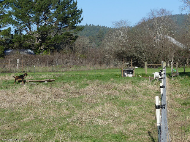
The Northcoast Regional Land Trust ranges all across Humboldt County and into the neighboring counties, but this seems to be the only property set up for regular public access. Most of their work is in conservation easements on private lands that promote healthy fisheries and sustainable wood harvests. The goals at this property include reclaiming the lower areas for tidal wetlands habitat while continuing to use the higher areas for farming purposes to educate the public about multiuse land management. As a place of education, it is a natural fit to host a Redwood Edventure Quest. I took in the rules (definitely no dogs except for well trained service animals as it is a working farm) and the unexpected offerings (another unpowered boat launch, which is half a mile down the trail but they have some wheels to help shuttle boats to it) and a nearly empty kiosk. The one item on it advertises the quest but the box to hold them was empty. I was just going to use the PDF anyway.
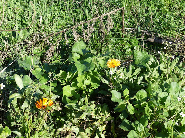
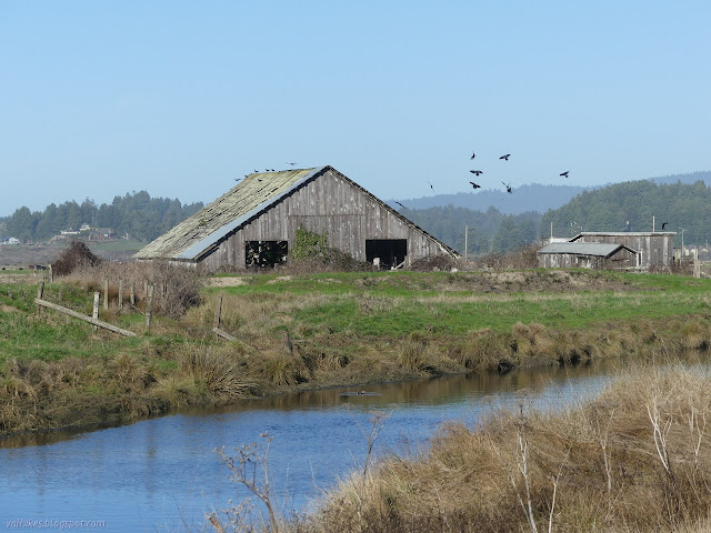
The first stop focuses on the farm, in particular the barn built 110 year ago of old growth redwoods. It continues on to a stop to learn about some of the seeming more boring plants. Rushes, sedges, and grasses. At first glance, they seem similar, but they have distinct differences to make them quite distinguishable. Unfortunately for me, I could only find the grasses. I wanted to get hold of some triangles (sedges).

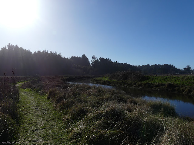
I found there was an odd rattling noise as the trail got close to Freshwater Creek/Slough. It confused me a moment until I focused on where it was and found it was actually nothing to do with the water. It was the few hardened old leaves still hanging on the alder trees growing along the banks. The wind stopped once I realized as if noticing I wouldn't be spooked by it after.


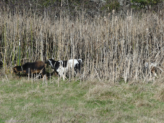
It was nice walking along beside the gentle water. Robins and others could be spotted along the way and in the distance I found a few Canada geese. When the cows aren't grazing, the geese can find plenty for themselves.

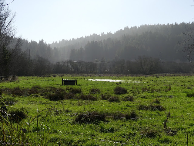
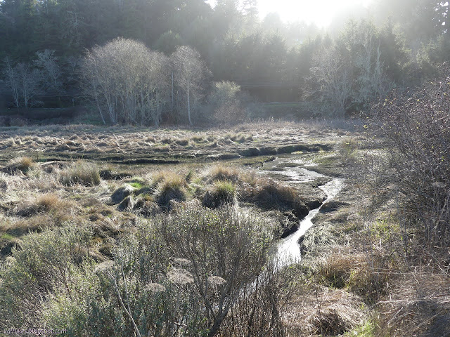
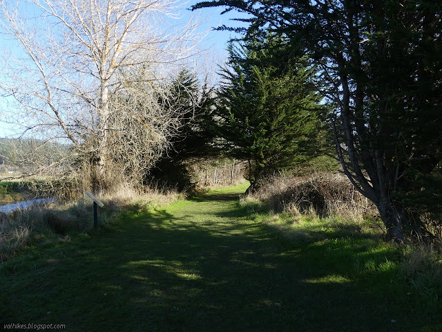
I spotted a hawk across the slough as I sat on the memorial bench to read about birds of prey. I looked out to see another big bird, but it was a turkey vulture. The trail gets narrower past the bench. There, it passes on old levee between the slough and restored tidal lands.

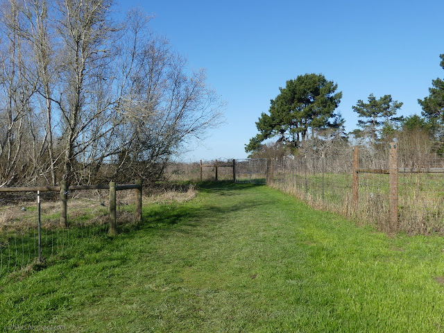
The trail comes to a wooden walkway that is built out over the returned tidelands as a wildlife viewing platform. The quest ends at the end of this, but I didn't find wildlife to view from there. I went back and followed the trail a little further along the levee. It gets so thin there, it doesn't look official, but then I came to one last interpretive sign and a gate ending the public trail. It included a few plants with spikes, but was the only place where I actually got to see Woods Creek.

I turned back and caught more thorns returning to the better maintained trail than I had on the way out. It wasn't too bad and seeing the bit of creek was worth that little bit of nuisance.


I have been missing out on the Redwood Edventure Quests recently. I was in the area for three of them as I explored the city trails. One is a "bike quest", which is new since the last time I checked them. It covers a longer distance but is still quite walkable. Here are links to the posts and the quests:
Eureka Waterfront Trail and the bike quest.
Hikshari' Trail and the quest.
Sequoia Park and Zoo and the quest.
©2021 Valerie Norton
Written 19 Jan 2021
Liked this? Interesting? Click the three bars at the top left for the menu to read more or subscribe!


Comments
"Sedges have edges, grasses have nodes, rushes are round."
The middle bit doesn't quite have much of a flow...
But nothing about that mentions that the edges of the sedges are three. Those few times I've found something with edges, I though I had squares. I'm going to have to pay better attention in the future.