Eureka Waterfront Trail
Eureka City Trails
Click for map.
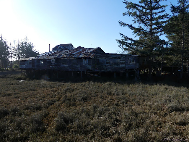
The Waterfront Trail is only 6.5 miles, so I suppose I could wander it in a day, but I decided to split it up and check out the northern part first, getting to where it starts following road a bit too closely for a bit too long, which would be my time to turn around. That is the bit that goes past the marina, so perhaps it wouldn't be so bad? I skipped it anyway. I parked at the end of Y Street where there is one of many access points. The back of the Blue Ox Millworks catches the eye immediately. It looks to have been built in an ad hoc manner and keeping it up must be a nightmare, but there it is. For now.
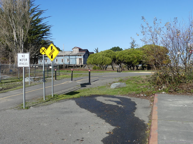
I turned right to walk along the abandoned tracks toward the short end of the trail instead of left to get a better look at the building. I would be back anyway. The path was getting a fair bit of multipurpose use with bicycles and roller blades and strollers. It looks like there's plenty walking the grass and the tracks. I walked the tracks because I was going to stick to those tracks for a short way before getting to the northeast end of the trail.

The tracks are marked as "future trail" in some places because it's segment 2 of a proposed section of the Humboldt Bay Trail joining the already built sections in Eureka (this Waterfront Trail) and in Arcata (which I hiked a while back). There's lots of sturdy places to walk across now, but the cable railings are failing. It's certainly not in the paved bike path state they are wanting.

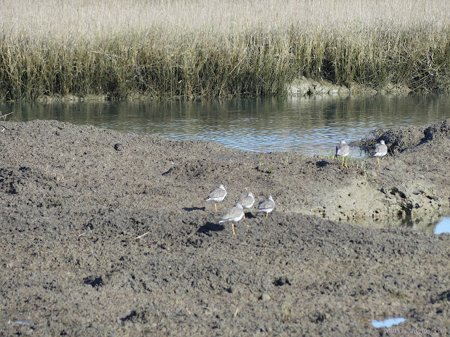
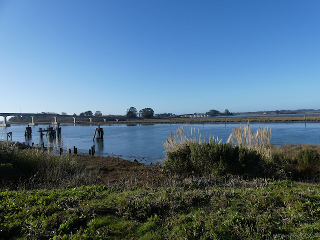
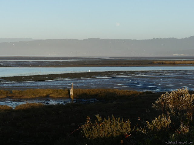
On the far side, I walked a bit further to the point the tracks start paralleling the highway. (All of segment 3 on the plans.) It follows next to swamp areas with channels cut through and one kayaker enjoying the day.


I expect you can still follow the tracks all the way to the built Arcata section of the Humboldt Bay Trail, but there may be some challenges. I distinctly recall that the bridge just past where it stops is two twisted rails rather than anything most people would want to travel across. The bikes are directed to join the highway at that point. I turned back without anything to force me to do so or join the high speed road.
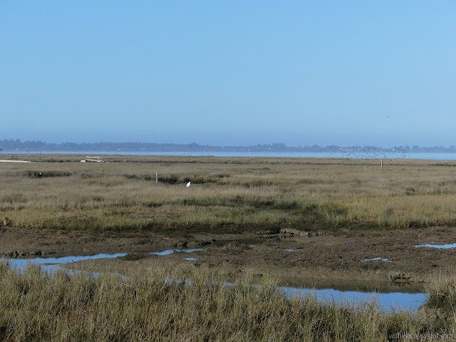

Back across the bridge, I turned once more toward the northeast end of the trail. I noted the unpowered boat launch and the three parking spaces behind Target to serve it and the numerous cars lining where there are no marked spaces because a lot more than three want to be there. Then I had the edge of the slough on one side with more flat mud and an RV park on the other. They appear to fill those spaces beside the trail last. The mud was still draining the water from the rain over the previous two days. I watched and listened to the pourings off the edge of the flats, then continued around to the end.

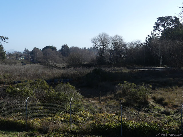
I bounced off the end of the trail where it runs into the street and made my way back. I discarded the Bay to Zoo Trail as something to try even though it is not yet built. That end seems to be a muddy path past the edge of a fence signed without welcome.

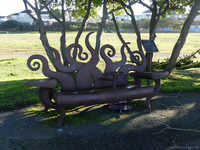
People were claiming the benches (which are public art) for their lunches and a pair of women popped out of their canoe at the launch. A few squished crackers remained where a family had been feeding the pigeons. (I don't recommend feeding pigeons anything.) It was actually a little quieter as a whirl of activity than when I started.
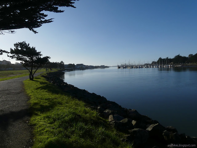
I edged my way along the bay stopping at the signs to maybe a learn a little something. Most the grass out there is an invasive that hitched its way up from Chile, for instance. There is some repetition to them, but they have generally managed to cover diverse subjects.

The trail gets into a little more city as it ducks under the highway as it comes from Samoa. There is another access with parking, bathrooms, and a boat launch. The wanderers seemed to thin leaving only the more industrious walkers and joggers.
I found a sort of stage area with steep sitting around the sides and climbed it to get a better look at one of the downtown tourist attractions, then found myself wandering past buildings. A sign seemed to be warning me from walking the sidewalk on the bay side, but closer inspection suggested it might be just keeping me from climbing down to the bay. The sidewalk was passing the community center, which is the sort of place that usually tries to be welcoming to the public.

I found minor crowds hanging out on the boardwalk, but not at the far north end. I took advantage of the clear area to fail to find a hard geocache. It said I didn't have to look under, but when I noticed a way, I decided to find out if it still might help to look under and found the boardwalk is growing stalactites. Could they be salt? It is certainly a material on hand, but they don't quite look like salt. I didn't want to taste one to find out.


I found myself pushed away from the edge of the bay for a second time as buildings turned industrial again. I was into the section where the trail follows the road and I didn't last very long at all. I did cross the street to have a look at one last sign before turning back.
I liked it better when I got back out into the more open spaces and was passing more relaxed people.

©2020 Valerie Norton
Written 1 Jan 2021
Liked this? Interesting? Click the three bars at the top left for the menu to read more or subscribe!


Comments