Chah-GAH-Cho Trail
McKinleyville Land Trust
Click for map.
I've decided I should be more complete about the local trails. I'd seen a sign for one in McKinleyville and did a little research to find it is on the local land trust's first property. The parcel is just 9.5 acres with a grid of trails, so I stopped by in the early evening on my way past. I didn't see the sign once I was looking for it, so got there after a minor run around. Parking is very easy and the area itself is well signed.
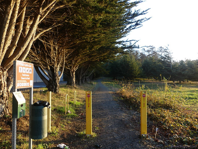
I followed the access trail from the parking to the property itself. The bulk of the land is sparsely covered in trees with grasslands north between it and the parking and thick trees to the south on some private land. A sign explains the name of the area and that it is transitioning back from cleared ranch land to native forest and grasslands. It adds a few Wiyot words for common items in the area. (The Wiyot were the people who lived here at the time of colonization.)

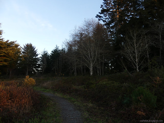
I turned right at the junction and started around the perimeter trails, attracted by the openness off to the west. Paths are well established and gravel covered. The nearby grasses get mowed to keep down ticks and such. The junctions have little signs with maps in case you might get lost even though you can practically see everything from any point in the park.

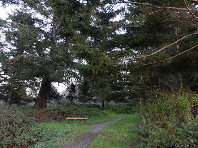
When I got to that openness, I found a bench and another interpretive sign. The land drops away to the west, across cleared fields. The sign explains about the steps of land that are old marine terraces. It was all a little obscured by the sun nearing sunset as I stood there.

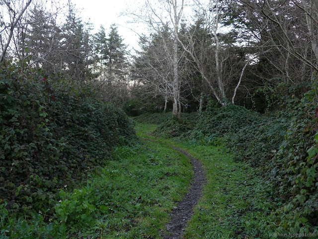
I didn't wait for the sun to complete its set before continuing around the path into the areas of thicker trees. Nude alder and a few different evergreens get to be surrounded by thick blackberries. They do seem to often be the three leaved sort indicated to be the native one on the first sign. There's more variety to the trees than I thought at first glance.
I spotted an extra trail and followed it outward. It didn't quite seem to connect with more parking areas, although it was certainly making the effort.
I finished the circuit and returned to the car still with enough time to return to the view for the sunset. I had expected it to take me a little longer than 15 minutes. The area was smaller than my memory of romping on the square 5 acres my grandparents had would suggest, but it is a sweet little spot.
©2020 Valerie Norton
Written 26 Dec 2020
Liked this? Interesting? Click the three bars at the top left for the menu to read more or subscribe!


Comments