Carlson Park
Arcata City Park
Click for map.
This is Arcata's largest city park outside of one with sports fields and Redwood Park (on the edge of Arcata Community Forest) at 19.1 acres. It's biggest boast is Mad River Access, but I neglected to bring a boat. (Probably because I haven't got one, but I've eyed a few.) I found parking to be difficult. All the surrounding streets are marked with "no parking" signs leaving just a bit of the gravel end of the road for both parking and turning around. After about two car lengths, there is a post, then the neighbor's gate, then no parking.

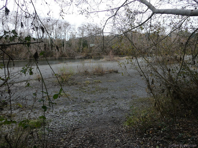
Since I didn't have a boat, I probably wouldn't be spending hours at the park, so I made do. A sign just past the gate points left for hiker trail, but the right looked more used, so I went that way. Even without a boat, I wanted to get to the river, and in a short time, I had. Trail well cleared of blackberry dropped me down on a gravel bar beside the flowing water.
I backtracked the way I had come and followed the signs for trail in the other direction. It split, but the trail to the right looked like it had a built up gravel bed while the one on the left looked just used. I dropped down to the river again, passing some bikes on the trail. It seems that mostly the park is being used by those trying to find space in the margins rather than river access.

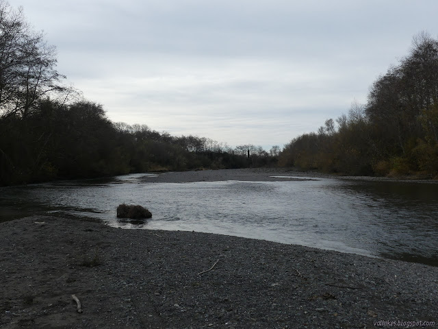
This path got me to the river where it was covering over the gravel edges and coming up to the vegetation. Not quite so good for river access as the first, but maybe as the river rises with winter rains, it'll be a better space for it.
I backtracked and wandered down a cleared trail that parallels the river. It came around to the other trail I had traveled in an easy winding manner. I hadn't recognized it as a bit of official trail because it gets a little faint as it passes some pompas grass at the junction.

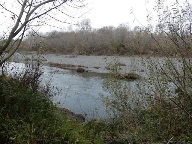
When I came around to the parking area again, I went back to follow the left trail. That did get me to another bit of river access, although still not quite so easy as the first access.

I returned the way I had most recently come. Trails do go further along the river, but I got quite close to the limits of the park area owned by the city except for that little bit on the far side of the river. It certainly looks like it might have been a nice area to put in that little folding kayak I didn't get. (But I thought about it. I just couldn't figure out where it would go in the car.)
©2020 Valerie Norton
Written 27 Dec 2020
Liked this? Interesting? Click the three bars at the top left for the menu to read more or subscribe!


Comments