Fey Slough Wildlife Area
California Fish and Wildlife
Click for map.
This little spot is so close to the highway, I have actually noticed it while zooming past, tucked in opposite of the car dealerships. There was heavy traffic leaving the dealerships as I arrived, but no one at the trail.
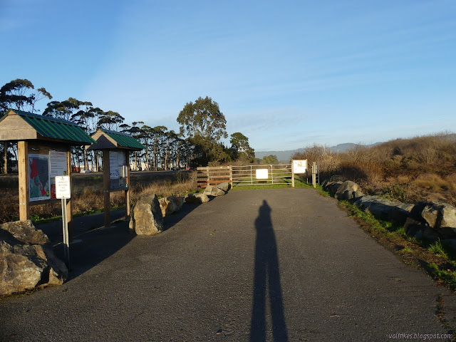
So I stopped at the information signs to find out what was up. The important one was a large map showing areas closed to entry, areas closed to hunting, and areas where hunting is allowed. I had actually found out it is a hunting area prior to stopping by. "Hunting is only allowed in the hunting areas," it says. It goes on to clarify, "No exceptions." It can be important to clarify. "Hunt days are Saturday, Sunday and Wednesdays ONLY." Good thing for me it's Tuesday. "No holidays except if they fall on one of those days." It certainly seemed pretty clear, but I expect it's really important to clarify. Lots more rules as I swung past the gate. No dogs, no horses, no bikes.

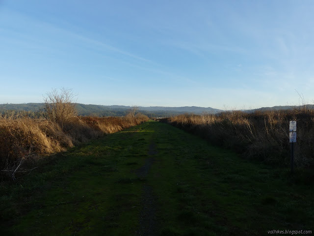
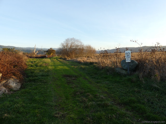
Trail is a flat gravel road bed turning grassy except where authorized vehicles roll. It sits between high plants as it parallels the noisy highway for a short way. I marveled at the flatness as I went. Even the paved bike path wasn't quite so absolutely level in all directions.

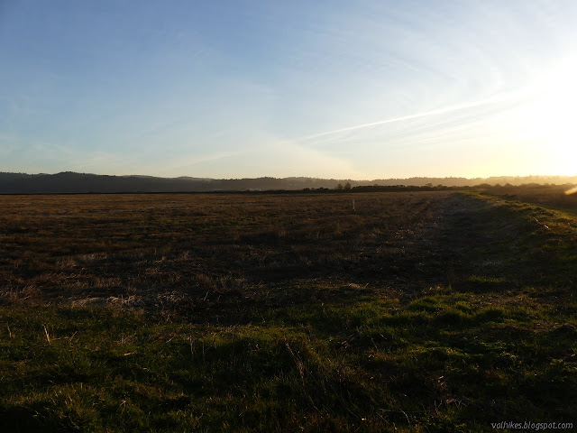
I turned the corner to find another expanse of straight and flat road. Signs every few hundred feet remind any hunters that this is a closed area to hunting. The land to the left of the trail is closed to everyone. Just past the jumble of growth and a fence are cattle grazing. The young steers closest to the fence bolted, then stepped back a few curious steps as I passed.

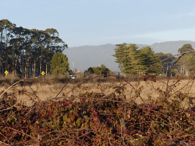
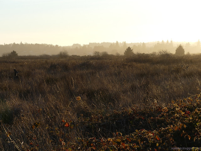
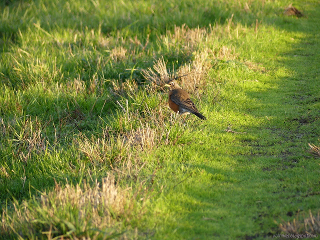
The areas to the right were getting a little more open as I went. I was figuring I'd never see any wildlife along here when I stopped to hear the little bit of bird song that actually is there. They mostly weren't showing themselves. Then I noticed the deer that had long since noticed me.


I came to the hunting area where signs expressly forbid my entry unless I was a hunter. But it isn't a hunting day! The sign on the left specified that this was only from the 3rd Saturday in October through the 1st Monday in February, which includes January dates. Neither had anything to say about days that weren't hunting days. Really, it's important to clarify. I dithered a bit about continuing. It looks like there is a loop that can be walked doubling the total distance possible.
Then I got a text requesting my assistance in a minor emergency, so I turned back after all. Still, it's not a hunting day. I should be able to wander the area when I'm the only one there anyway. On my way out, I noticed one more restriction to visiting posted on the open gate. The area can be closed completely February and March to minimize disturbance of the Aleutian Canada Geese. A lot of restrictions in this little spot beside the highway, but I've seen it packed with cars.
©2020 Valerie Norton
Written 4 Jan 2021
Liked this? Interesting? Click the three bars at the top left for the menu to read more or subscribe!


Comments