Elk River Sandspit
Elk River City Wildlife Area
Click for map.
I will get to the Waterfront Trail eventually, but the spit of land by the Elk River got my desire for this afternoon. It is quite the curiosity to me. I have been known to wonder why the rivers generally love chugging north along the coast befire finally breaking out into the ocean. I saw one sign (was it at the Mad River Bluffs?) with an explanation for why the rivers do this, but I'm not sure it applies to a river that exits into the bay. Anyway, I didn't believe it completely. I wasn't entirely sure how you get out there, but there was a geocache on it and it suggested starting at the (former) park and ride. I knew where that was, so I parked and got out and found myself on the wrong side of the river.

I followed a sign claiming there was bike trail in the southerly direction, but I'm certain it wasn't going where I thought I should. The only thing going that way is the freeway entrance. I looked a little more closely and found what might be the answer, so tried in the direction of the Waterfront Trail instead. Everyone else was going to and from that way anyway. No signs point out the trail, but it is the only reasonable way to walk from that point. After a quarter mile there is a large sign with lots of information, but none on getting to the sand spit.

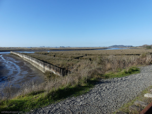
A little further, just short of a sharp turn in the trail, I encountered what had caught my eye on the map: the old rails. The crossing is still marked and the iron almost looks usable, but no trains have been along them for a long time. I can find it marked as a future trail on official web sites, but it is a well used current trail for any who take the time to look. I turned down it, happy to leave the paving behind.

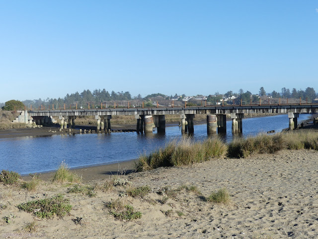
The railroad bridge over the river looks to be in excellent shape and may even have been improved for pedestrians. Maybe not. There are excellent walking surfaces across it anyway. Well used trails on the far side lead down onto the sand spit, so I followed one past a fisherman and other hikers.

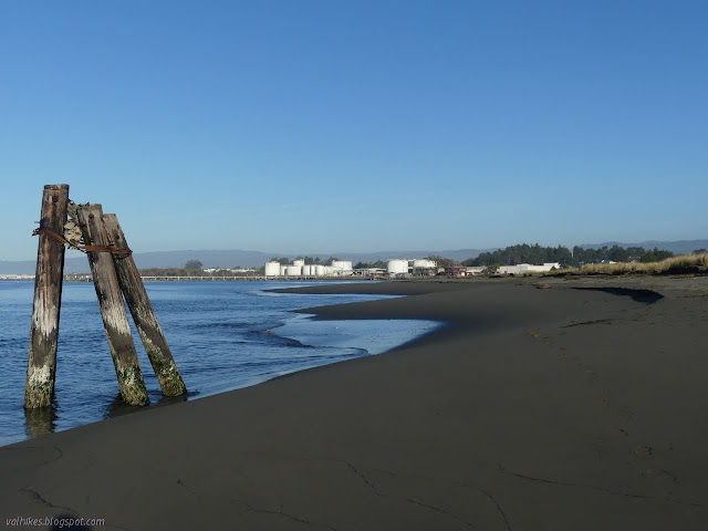
In short order, I found myself on the opposite side of the sand spit, staring out onto Humboldt Bay. Tiny waves were lapping at the sand and one of the fog horns on a jetty was tooting away.

I turned right and started walking along the beach out to the end of the spit. I quickly encountered some more wooden wall. Maybe it was part of trying to push the river out into the bay more quickly? If it was, it certainly didn't last.


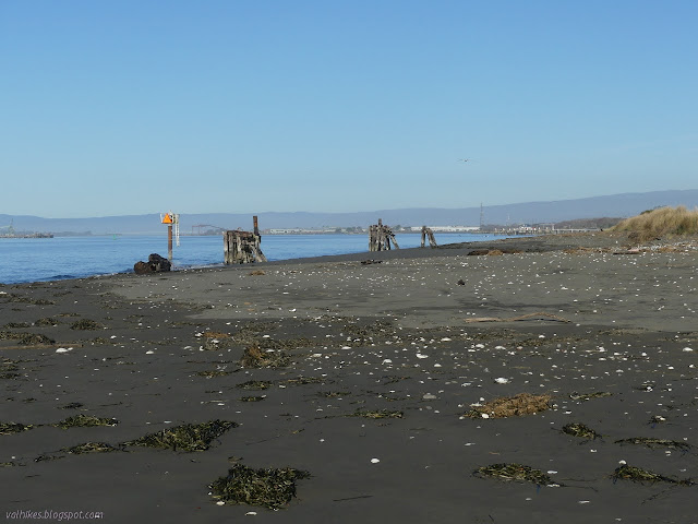
As I neared the end, there started to be some man made items out on the beach. They all seem to be historical artifacts no longer part of any operation. I found myself getting really close to the land on the far side of the bay. I was surprised to find that so close to the south end of Eureka, the far side of the bay is nearly Samoa. The various tufts of planted trees are easy to dismiss as could be anything, but the old Coast Guard station is hard to dismiss. I was actually approaching the narrow bit between Humboldt Bay and Arcata Bay.

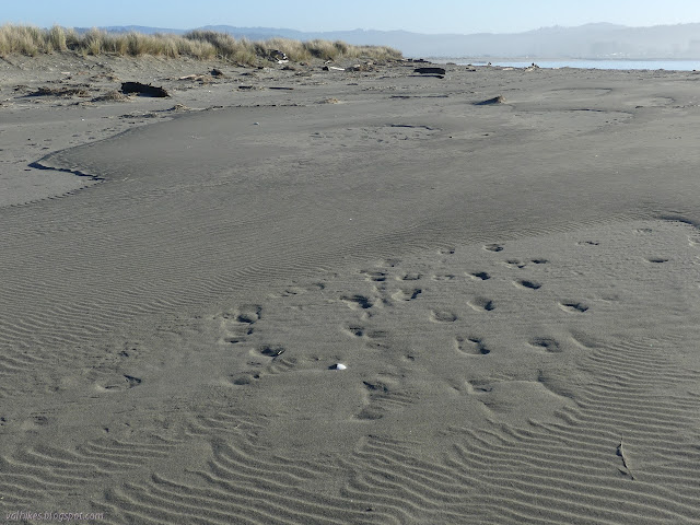


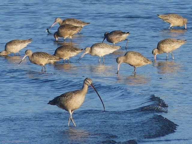
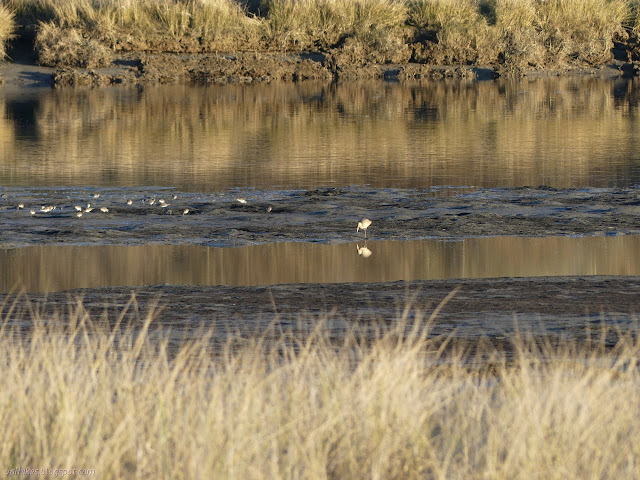
As I rounded the top of the sand spit, I found myself sinking an couple inches into the sand with each step. As I got to water that could be said to be part of the mouth of the Elk River, there were more birds working away at the beaches. Someone was digging clams on the far side although there was a warning about shellfish at the start of the trail.

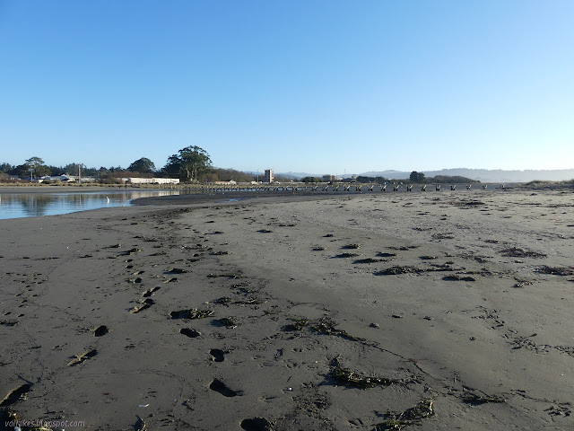

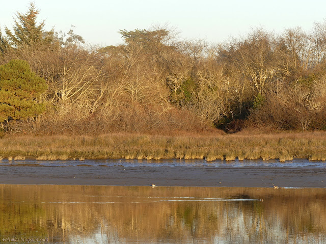
I turned inland, accidentally avoiding a bit of sand spit that the river has flowed into. It has a sort of bay. I wandered a little before setting off on a bit of trail toward the bunch of trees I had seen earlier.
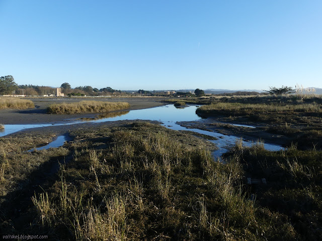

There's actually a couple trails down the middle of the sand spit and I followed each in turn. The one closer to the river sometimes gets out next to it. The one closer to the bay tends to be higher, so there's a foot or two worth of greater view.


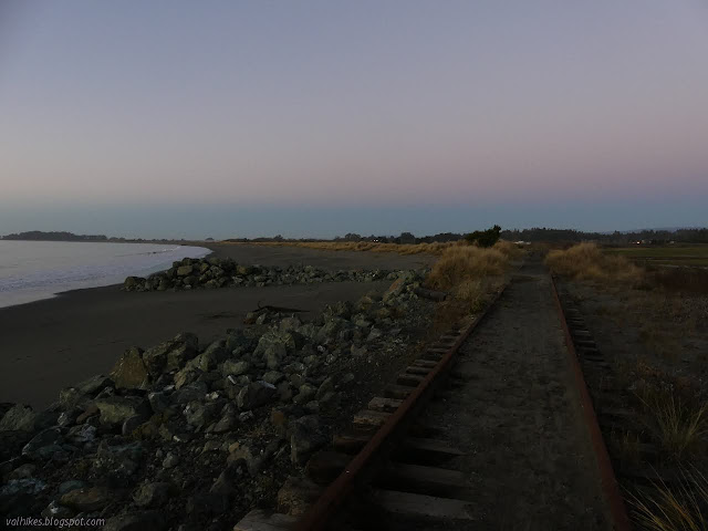
When I got back to the tracks, I still had a little time, so I followed them a little further. This, too, is sufficiently used that I encountered people coming the other direction.


It was a little more than a mile further to King Salmon when I turned around. The tracks go all the way, but I'm not sure how open the vegetation around them is. It seems likely one can go all the way. Most of it is along sea wall like the twisted section shown above.
I turned back toward the old Park and Ride when I got to the paves Waterfront Trail once again. It was a rather easy walk, even with all the sand, in an odd space. A well spent afternoon, I think.
©2020 Valerie Norton
Written 26 Dec 2020
Liked this? Interesting? Click the three bars at the top left for the menu to read more or subscribe!


Comments