McKay Community Forest
Humboldt County Park
Click for map.
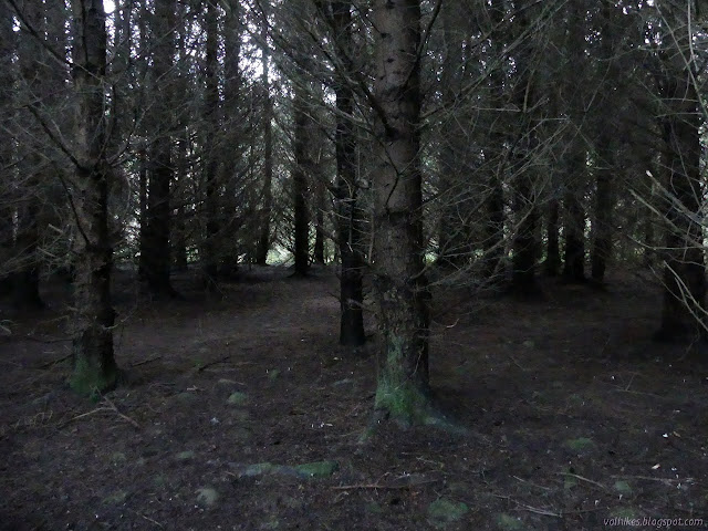
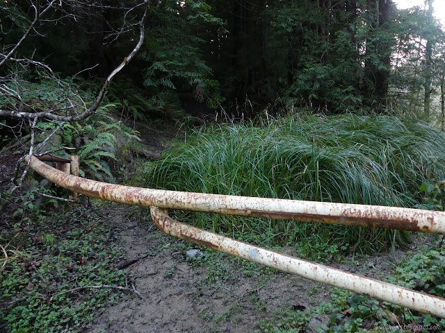
I stopped at Redwood Fields, which is currently limited to walk ins only, and headed south into the forest toward where there is dedicated parking figuring that's where things would be more developed. I found blockades to keep people from driving the old roads from the parking lot, but nothing against walking. I'm not sure what's so bad about going in at Harris Street. I followed the bike tracks along well used path through what is a rather scruffy looking forest.

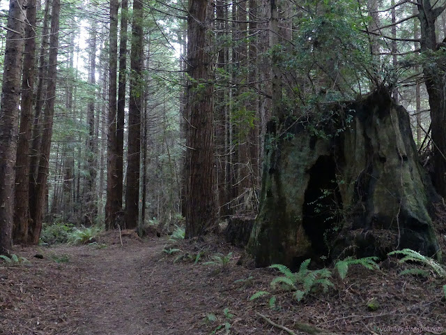
It switched to a more normal looking second growth forest, tall and dark and crowded. There's a lot of twigs and not much undergrowth. I stayed high when there was an option, continuing south. I got off the line on the map under some power lines. The trail I was on seemed well used, but in less than a quarter mile, I intersected one that was getting a lot more use. I probably should have paid more attention to trying to follow the bike tracks.

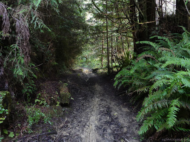
The trail I was following split and with a spurt of contrarianism, I went left although it seemed slightly less used. I almost followed the next trail back, but decided to keep on anyway. It all looked as if bikes went that way, but then it suddenly dropped far too quickly down to Ryan Creek. I managed not to make it quite as quickly as some, but I had the advantage of good, luggy shoes. Before the bottom, I had a more level option and took it. It intersected well used trail full of bike tracks once again. The environment down by the creek is a little changed compared to higher up and the trail was quite a bit muddier.

I found enough dirt to walk without getting my feet wet although the mud did make an attempt to take one shoe. I was expecting to have to cross the creek because my map showed trails only on the far side for a section. The trail split and I followed the right side to the creek. That turned out to be just to have a look at it. The bikes are happily slushing on through, but I would be up to my ankles in water and there's no bridge yet. When I turned around, I was reminded there might not be later, either. The McKay Community Forest is only on the west side of Ryan Creek and there was a sign to tell me I was entering it. Day use only. The east side is private timberland with a conservation easement. I backtracked and kept left.


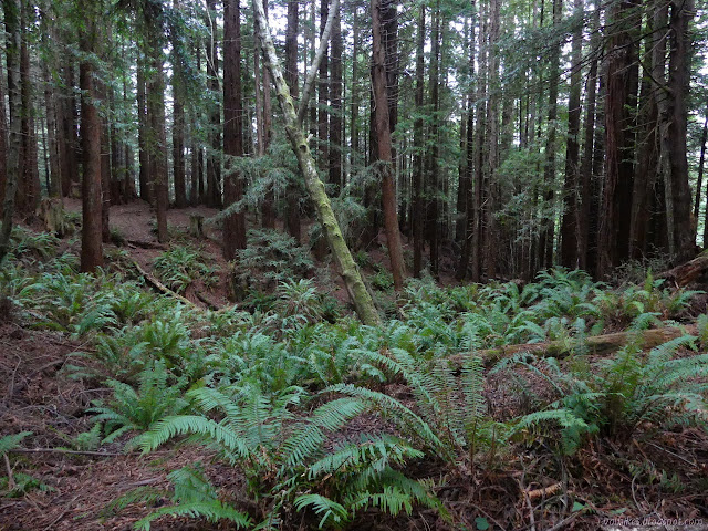
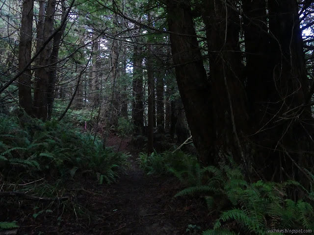
Trail continued along on the west side of the creek for much longer than my map indicated. I would be beside the creek, although well above it, then it would vanish and there were huge flats of very dark forest. I also found myself plucking more and more ivy. The invasive stuff just keeps spreading more widely, so especially when it's just a few plants starting to take hold of an area, I've started to pull it out.


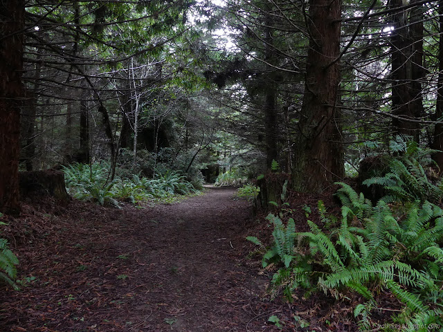
The trail turned away from the creek and started to climb. It is a much nicer climb than the one I came down. I climbed up through some of the bigger trees I saw to the scruffy forest up around Redwood Fields at the top.

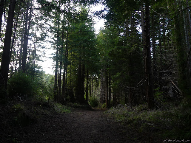
I followed old road the long way around the fields, intersecting more roads and the driveway for the odd little bit of private residence in the middle of the forest. (The trails I followed gave it a wide berth.)
The way down to the creek tributary was easy, but the way up was a bit steep. It has been improved a bit so that there is a place to walk that is not getting washed down the hill. I found the last of the only half dozen or so people I saw along the loop also making a labored climb up that hill.
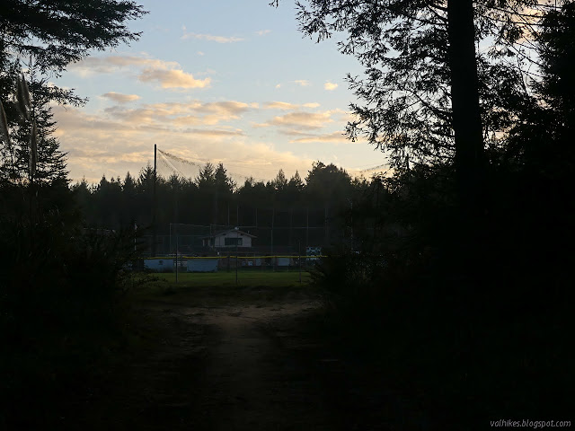
Trail split left or right and I went right, which is the shorter way around the ballpark to get back to the parking. It is also definitely the most back of everything route. I quite liked the lower portions of this loop as it followed Ryan Creek, but it might be getting a bit too muddy in the coming months. Oh, and I liked the climbs. It's quite nice to have a hill once in a while.
©2021 Valerie Norton
Written 23 Jan 2021
Liked this? Interesting? Click the three bars at the top left for the menu to read more or subscribe!


Comments