Ocean View Cemetery
Eureka City Park

Click for map.
After wandering the grounds of Fort Humboldt, I decided to wander the grounds of the local cemetery as well. It is only a couple blocks from the fort, but it is not the oldest cemetery. For that, I should have found my way into the cemetery beside Cooper Gulch, which is Myrtle Grove Cemetery from 1861. I think. Ocean View dates back to 1892. Both are designated city parks. (Again, I think. Unlike nearby Sunset Memorial Park, it is marked as as "parks and open spaces" on the city's map of the proposed Bay to Zoo Trail, but is often included with Sunset Memorial Park, which is private, in various listings. It does say "incorporated in 1892" by the closed gate at Iowa Street.) I seem to have arrived at the back door by going for the north side. One gate was closed and backed by construction workers, but another to the west leaves room to walk around. People who drove in were using an entry on the south side. Like the fort, the cemetery comes up to the edge of the bluff above US-101, so there is a bit of a view and a bit of noise at that edge.

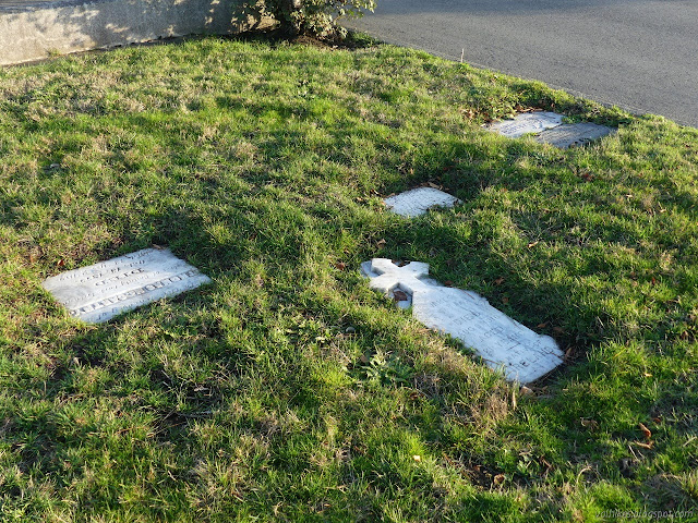
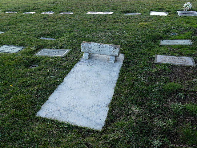
I noted how much of the area clearly had markers, but only a few things sticking up. I immediately started looking around for the space with the most standing markers in the presumption that that would be the oldest part.

The standing stones are actually from all different times. So are the ground level ones. Prior to getting handed to the city, the Myrtle Grove Cemetery was flattened and the stones laid down, so maybe that happened some here too. Some stones are older than the cemetery, so must have been reburied to be here.

A few note where they came from originally. Nova Scotia and New Brunswick derived locals got a mention on one of the signs at the fort and there are a few of these. They squared off a bit against Irish every once in a while and there are a few of those too. I also noticed a couple of New York and other places that largely were of the east coast rather than the "old world". Still a few Germans too. I didn't notice the Portuguese. One set of elaborate, modern, raised headstones seem to include Malay or something related, so there are more influences coming in now.


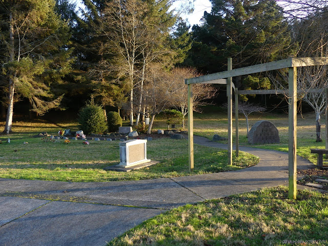
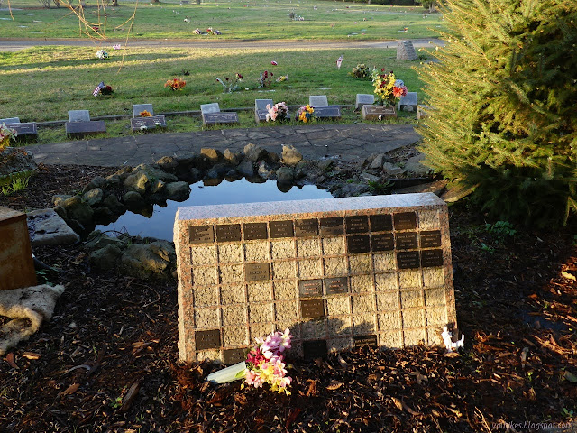
The place is split into sections and a lot of them are quite alike except for who wants to be buried there. There are a few spaces with quite a distinct design.
As I came to the far east edge, I found a rather generic veterans memorial. I had noticed a few plain white makers set into the ground with only a name and rank scattered around the west side and a few noting service throughout, so there's not much clustering around the poles and plaques of this memorial.

I walked back along different sections. I found the camellia garden, but of course none were blooming. I found some Nortons who are undoubtedly no closer related to me than the rest.

I found a couple false trees on my way back. They certainly stood out. There were a few more people passing through on foot as I left.

©2021 Valerie Norton
Written 10 Jan 2021
Liked this? Interesting? Click the three bars at the top left for the menu to read more or subscribe!


Comments