Cooper Gulch Park
Eureka City Trails
Click for map.
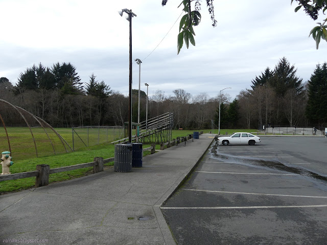
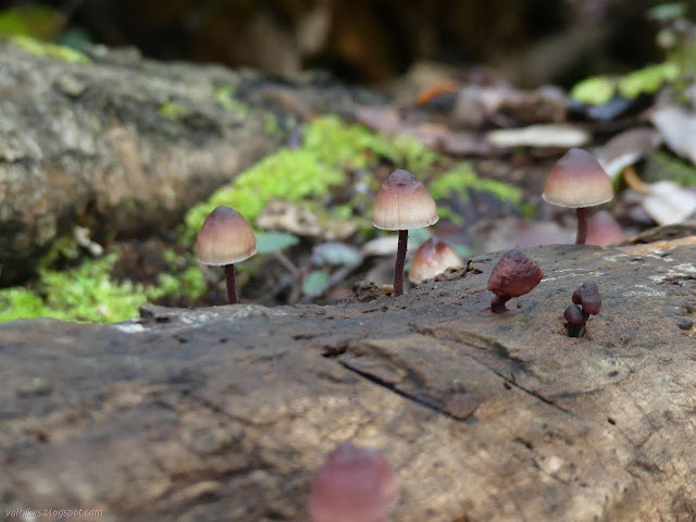
This is another part with both the developed areas one might find in a park and some large natural areas. I started beside the skate park and ball fields at the only large parking area. The city map I found of trails indicates there should be one along the creek from Myrtle to 14th Street with plans to extend it south to Del Norte Street. I didn't find this bit of trail. I did manage a mildly wild loop around the ball fields and even encountered a fanciful creature.
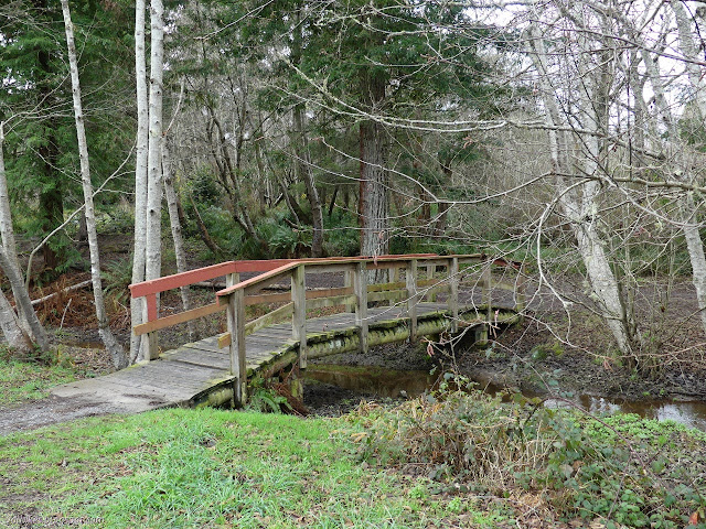
I headed out between the fields and skate park toward a bridge. When I found a trail on the way, I followed it.
I found a frisbee golf "hole" on the far side. There is a 9 hole course. If you want to try it out, there are often a few frisbees that went astray and weren't retrieved. They aren't as numerous as golf balls around a golf course, but they're there and once you have one, you don't need clubs to finish the gear and play. I didn't play. I followed trail around. I thought I was going for the loop, but I ended up at the end of a neighborhood street. It had a kiosk for the park showing events that have passed by.


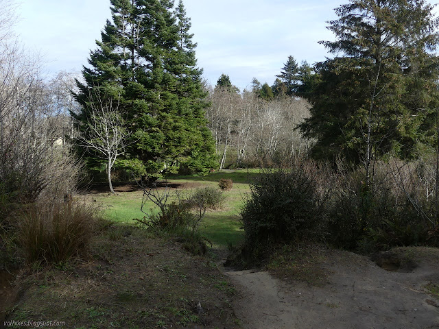
I turned back to follow the trail I'd meant to be following to a completely different neighborhood entrance.
When I popped out at 11th Street, I walked the two blocks to Ross Park to see what it held. More ball park and play equipment, it turns out.


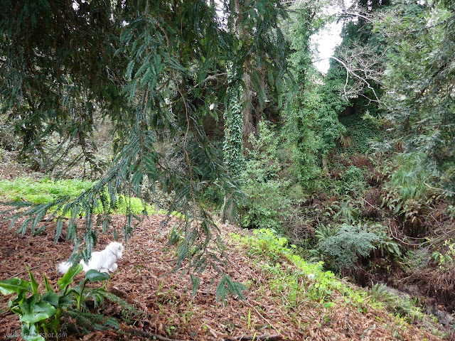
I found a bridge, but kept to trail on that side of the creek to find it was only a spur to a bench. I crossed and climbed a little along one more spur to a neighborhood entrance.

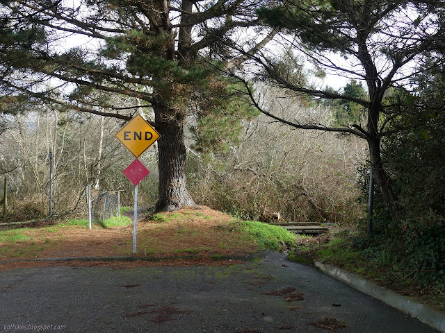
There might be more trail continuing past the entrance at 13th Street, but it didn't look official to me. The gulch is getting canyon like there, although still with short walls.
I turned back to pass the rest of the ball fields and frisbee golf holes. Those first few holes seemed to be the ones to grab wayward frisbees.

At the end, I contemplated going over to the nearby cemetery for a little more walk. The park was a bit less walk than I had expected although I had managed a little over a mile. I found it does not have an entrance on that side, so decided to be done for the time and move on.
©2021 Valerie Norton
Written 6 Jan 2021
Liked this? Interesting? Click the three bars at the top left for the menu to read more or subscribe!


Comments