Azalea State Natural Reserve
Click for map.
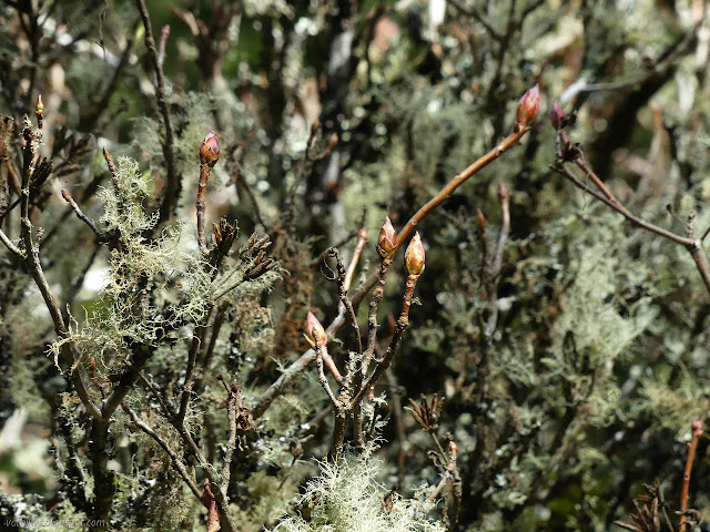
I probably ought to have visited this little postage stamp sized piece of the state park system. There is no entry fee, but it does only offer a small, rough parking lot, a pair of picnic tables, and a pair of loop trails that don't quite make a mile together. It is suggested that one should visit in April or May, the same suggestion that didn't work out for me so well in visiting the rhododendrons in Prairie Creek Redwoods State Park. (Azaleas are also genus Rhododendron.) I expect June would be better, but I've noticed a few buds on the plants in way too much sunshine, so thought I might as well see it now. It is easy enough to come back.

I picked the trail heading west past the sign to start. There's some nice trees along the way, but past the first big one, I was immediately struck by how much ivy has been allowed to run over the area. It is everywhere and climbing some 40 feet up the trees. It's been allowed to go for a long time.

I didn't see so many azaleas. Really, none. They aren't being showy at the moment, of course. Probably none of the areas are quite as sunny as those spaces where cultivated species are starting to bloom.

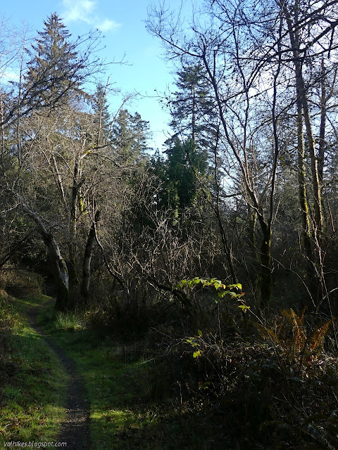
I crossed another bridge over the little creek, already swinging back toward the parking lot. There does seem to be quite a wide variety of plants in the area.
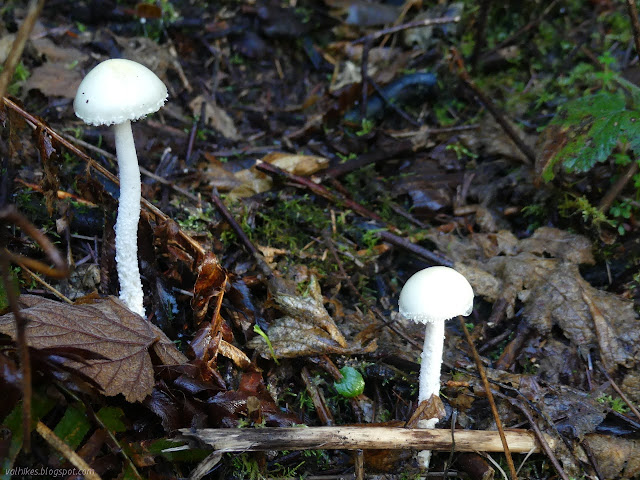

The trail split with the right going right back to the parking lot. I kept left, but it just delayed getting back to the lot by a few feet. I was already done with the first loop.
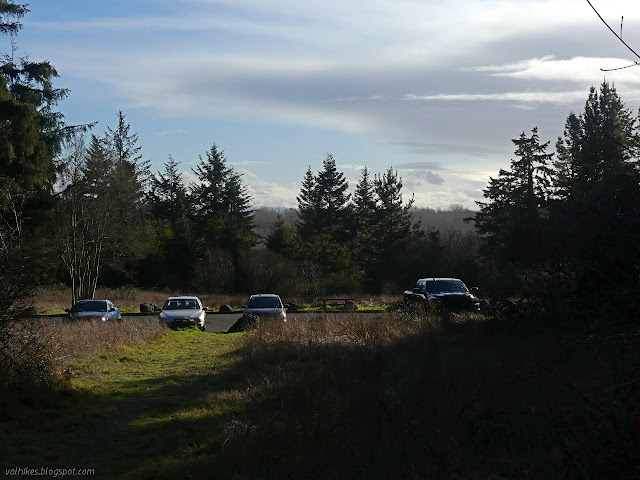
The second loop is across the road, so that's where I went.

The trail quickly split and I took the left side. There is a bit more hill on this side of the road and the trail makes a few little switchbacks to climb into the forest of large evergreens and worse ivy.


I found the only bit of trail in need of work at the top. A large tree (covered in vines, but not all ivy vines) came down across the trail recently, but is easy to pass around to the left. There is also one bridge that has lost 75% of the railings it once had. Other than that, there is not even so much as a blackberry reaching out to scratch passers by.

The trail has some more little switchbacks as it drops back down.
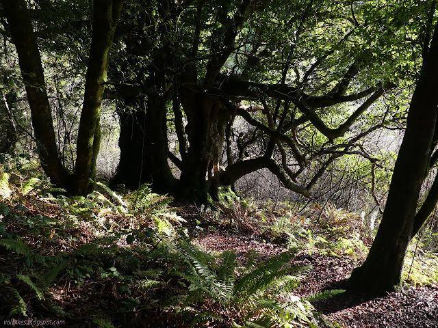
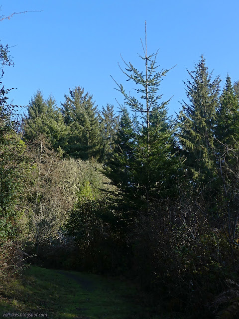
I paused on the way back to examine the firs that cluster near the junction a little more closely. They have particularly long needles that vary with size along the branch, getting shorter near the branch points and tapering off significantly at the end. They need some iron, but I'm not sure of anything else about them.
©2021 Valerie Norton
Written 23 Jan 2021
Liked this? Interesting? Click the three bars at the top left for the menu to read more or subscribe!


Comments
Sorry to be picky, but I'd double-check that Brewer's spruce ID. Wrong environment entirely. Douglas-firs have a pretty wide range of growth forms. It's common for individual trees to have a weeping appearance like Brewer's spruce.
Just minutes from Arcata--maybe return in a few weeks when those buds are bursting, to look for actual azaleas?
Brewers spruce does have quite a small range, but the weeping has made them popular for planting. That a Douglas fir can also take on that shape would certainly explain a few spots I've seen it. There's a couple on a ridge in the Sunny Brae section of the Arcata Community Forest and a really big one off the side of the ridge along the Berry Glen Trail in Redwood National Park. While this one could be planted, that last one seems near impossible.
The size is the reason I've not bothered before. My "short" tag is for things under 6 miles, but under 2, why bother? I've even seen its high point listed on Peakbagger, but hadn't bothered to go bag it. (I still haven't, to be honest. That's a little too silly.) I would definitely go to visit it to help pull down ivy if that's part of the vegetation management plan you've found. Surely the same group that has made a big dent in the ivy in the Arcata Community Forest would be up for it too.